Elevation of Mountain Laurel Ct, Unicoi, TN, USA
Location: United States > Tennessee > Unicoi County > Unicoi >
Longitude: -82.296329
Latitude: 36.2439489
Elevation: 654m / 2146feet
Barometric Pressure: 94KPa
Elevation Map:
Satellite Map:
Related Photos:
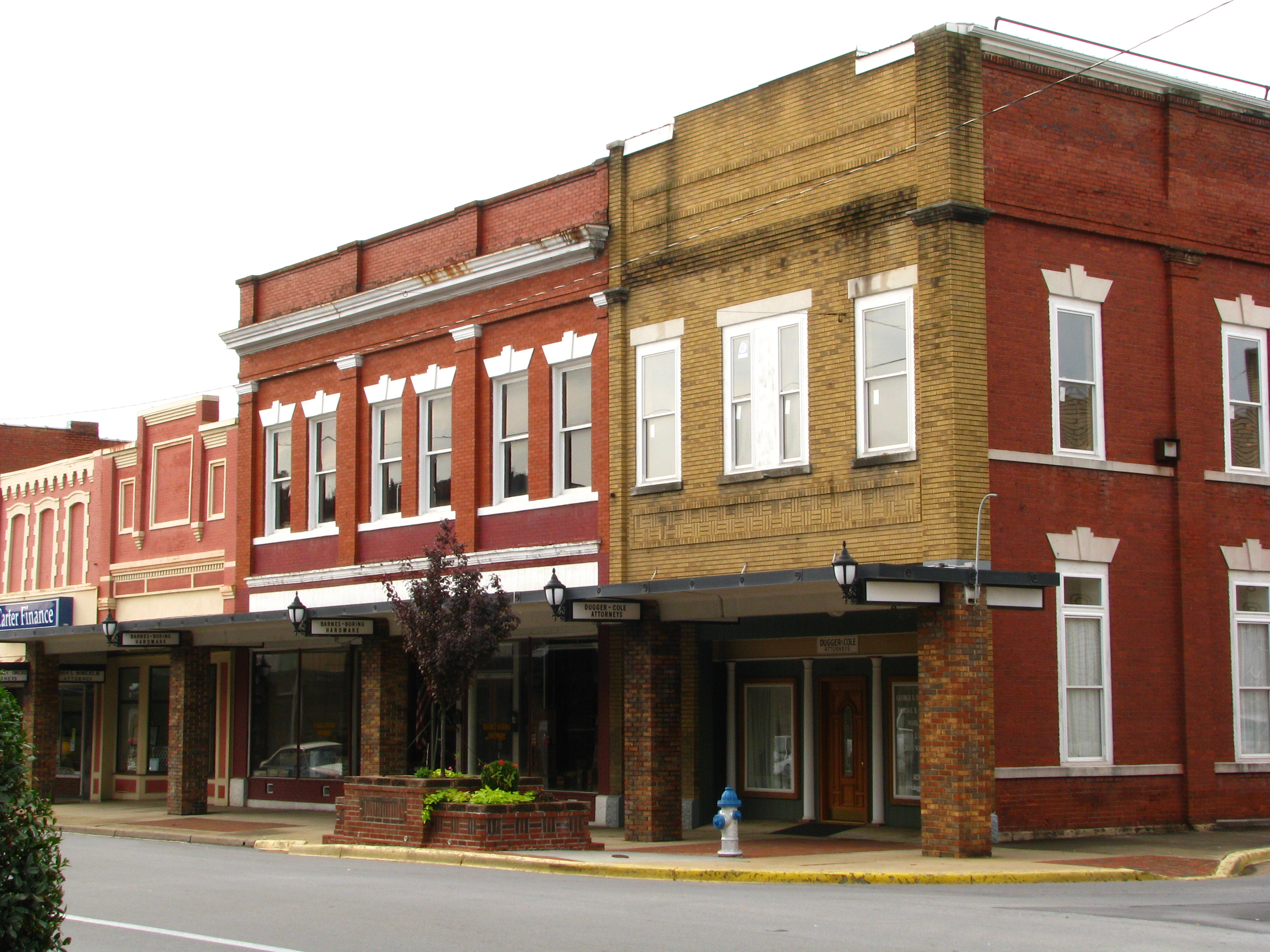
Storefronts of Historic Elizabethton - Barnes Boring Hardware

A disc of reddish landscaping for an embankment.
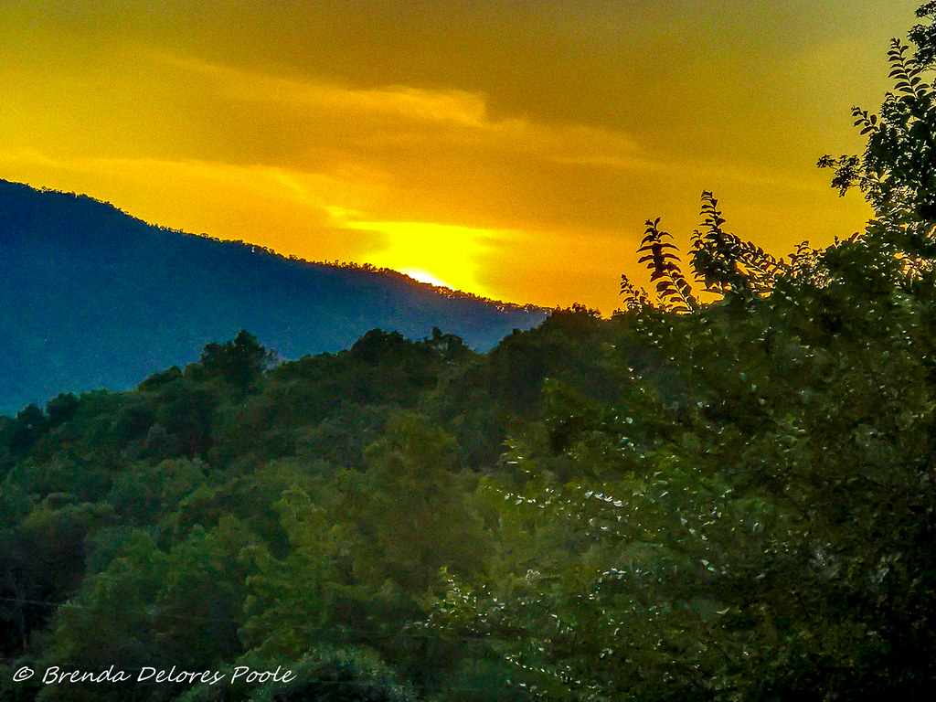
Buffalo Mountain Sunset_-1643-Edit

My view - what are you looking at right now?
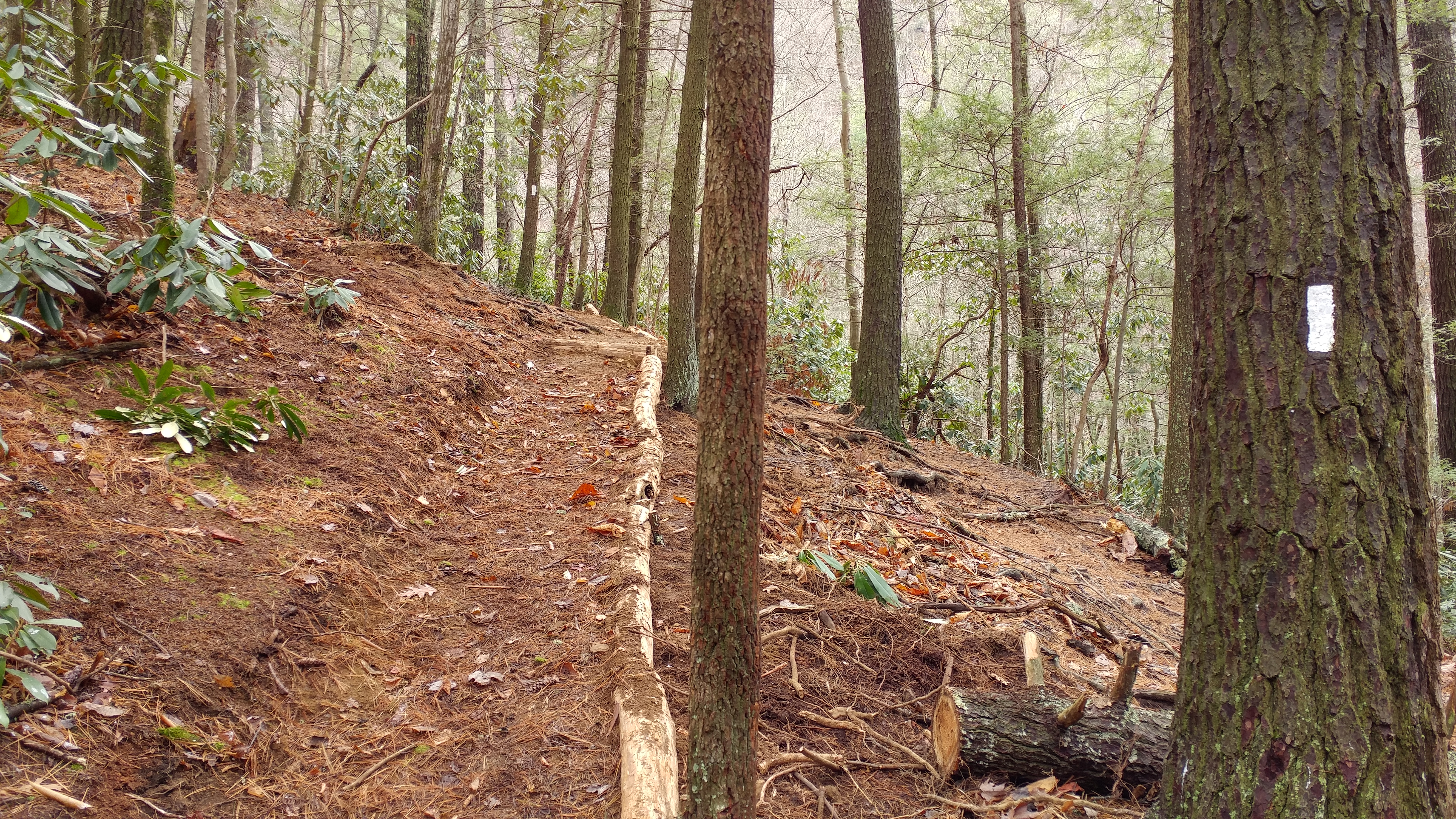
Appalachian Trail

Pinnacle Mountain Fire Tower HDR Panorama
Pinnacle Mountain Lookout Tower

2013.12.27 125K Views
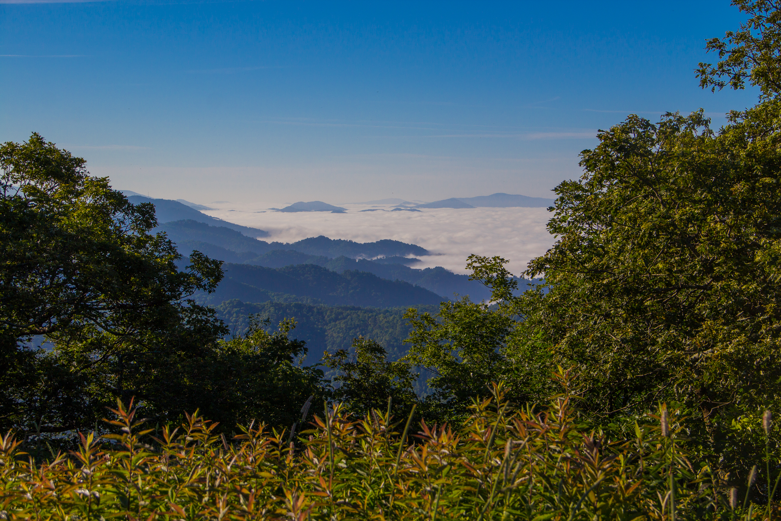
Fog Below Roan Mountain, Pisgah National Forest, North Carolina

Pinnacle Tower HDR Panorama 2

201 Claire on the trail
Scenic View #2

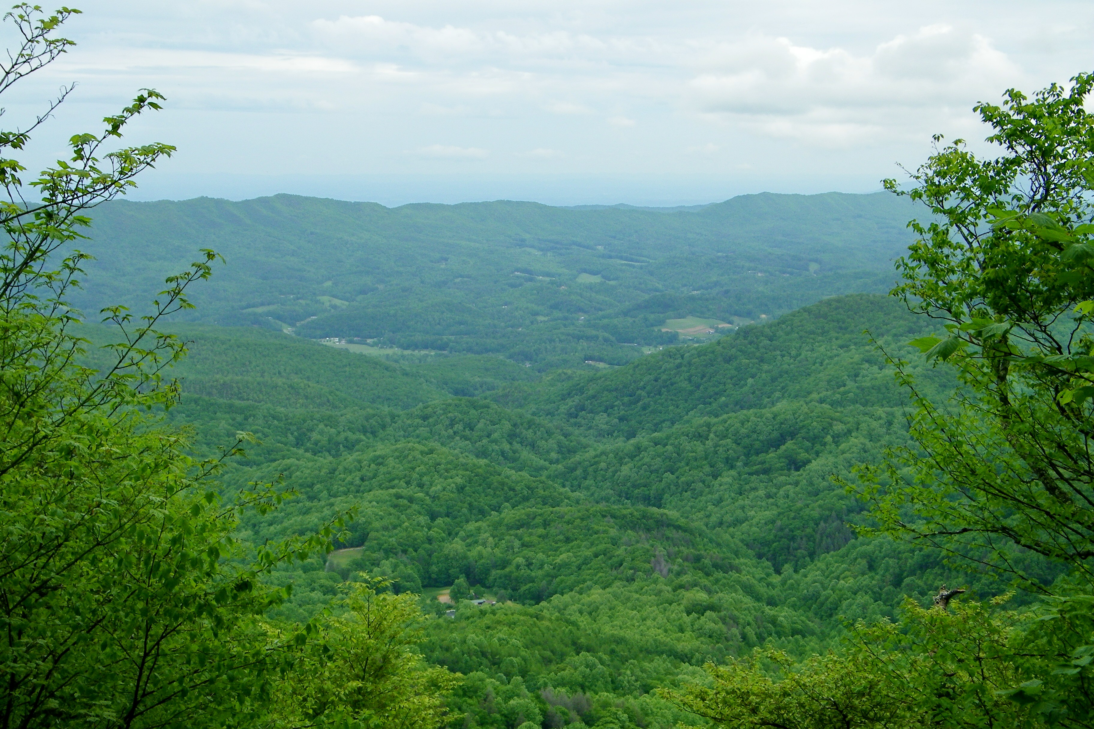
View from Beauty Spot

myspace 022
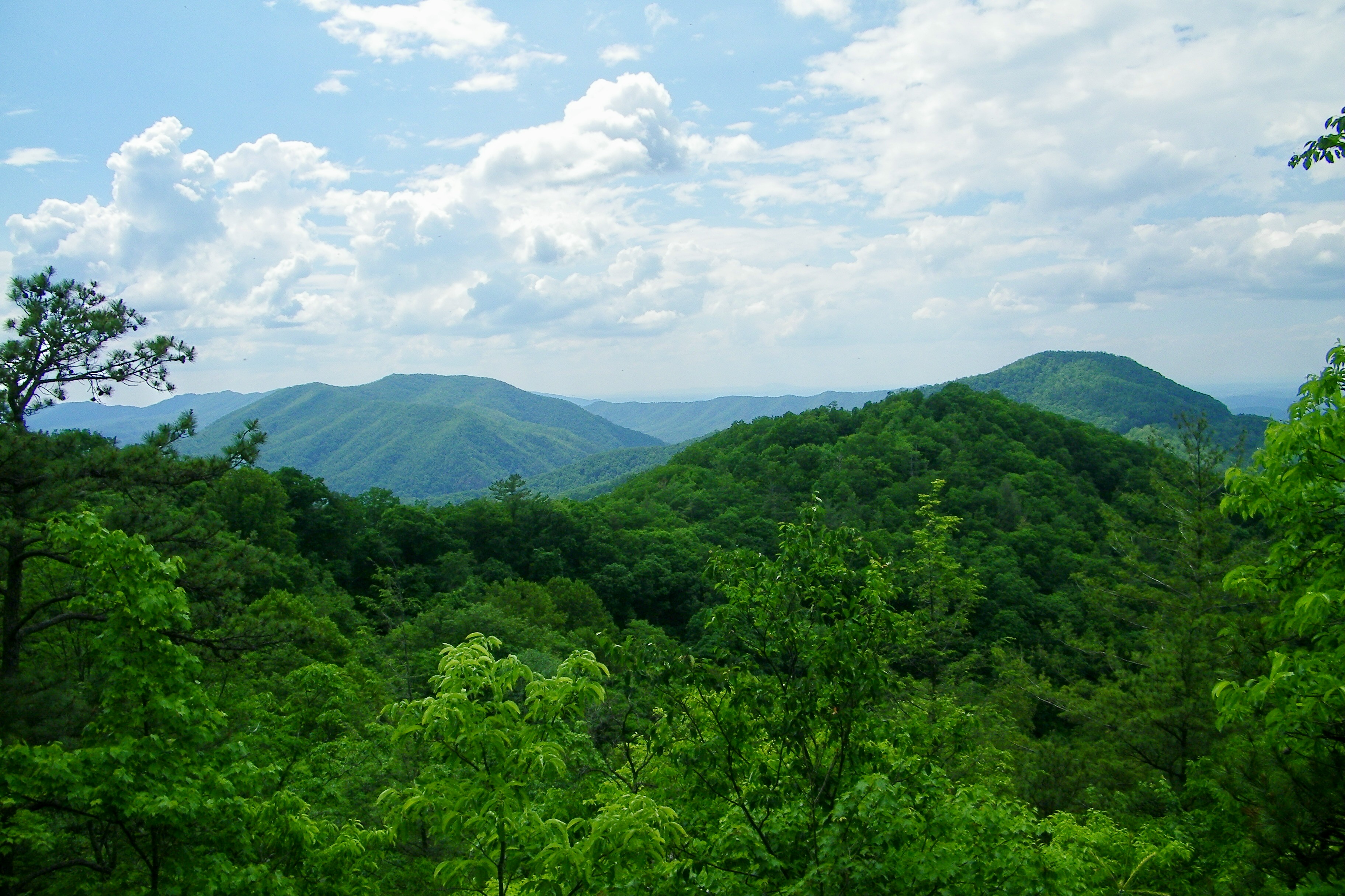
Great view
Appalachian Trail
Appalachian Trail

197 On the trail to the top

My view today

myspace 020
199 View top of the trail

Pine Oaks Golf Course
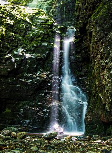
Laurel Fork Falls, Appalachian NST, TN

Johnson City Country Club

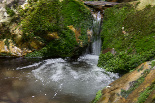
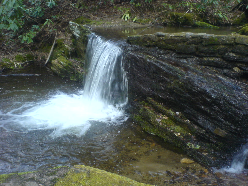
Red Fork Falls

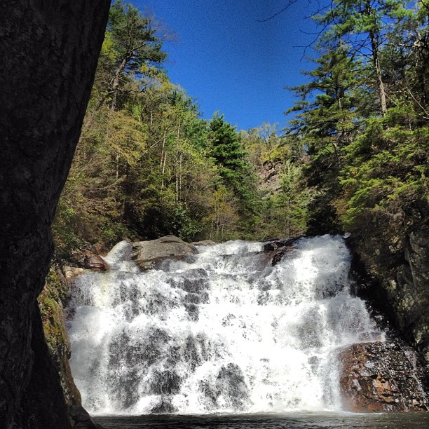
Racing Water

WP_20141124_040.JPG
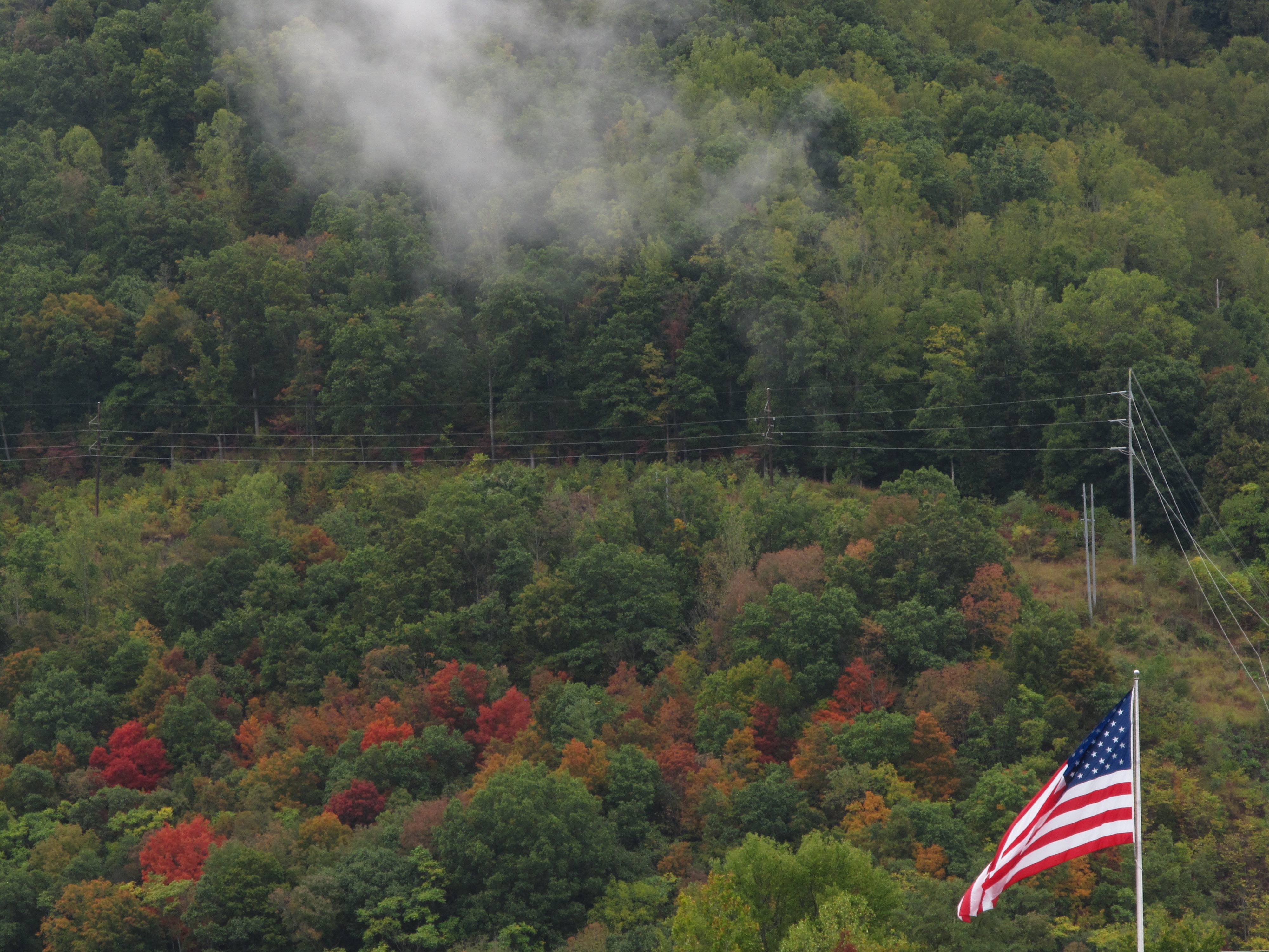
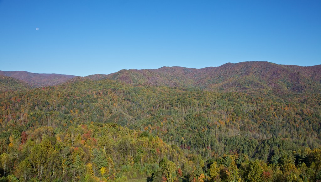
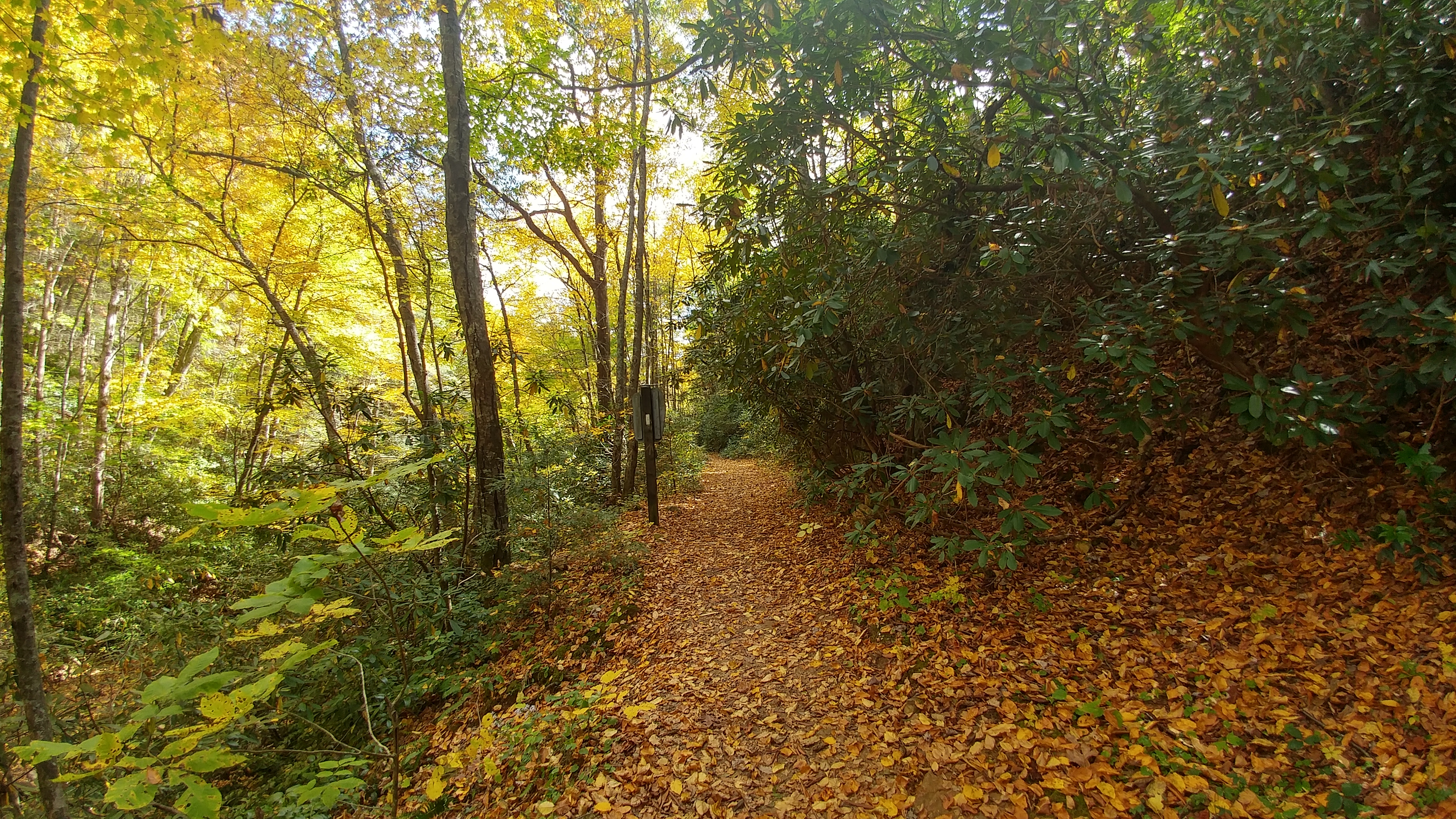
Hints of Fall3
north of Laurel Fork Falls, Appalachian NST, Hampton, TN2

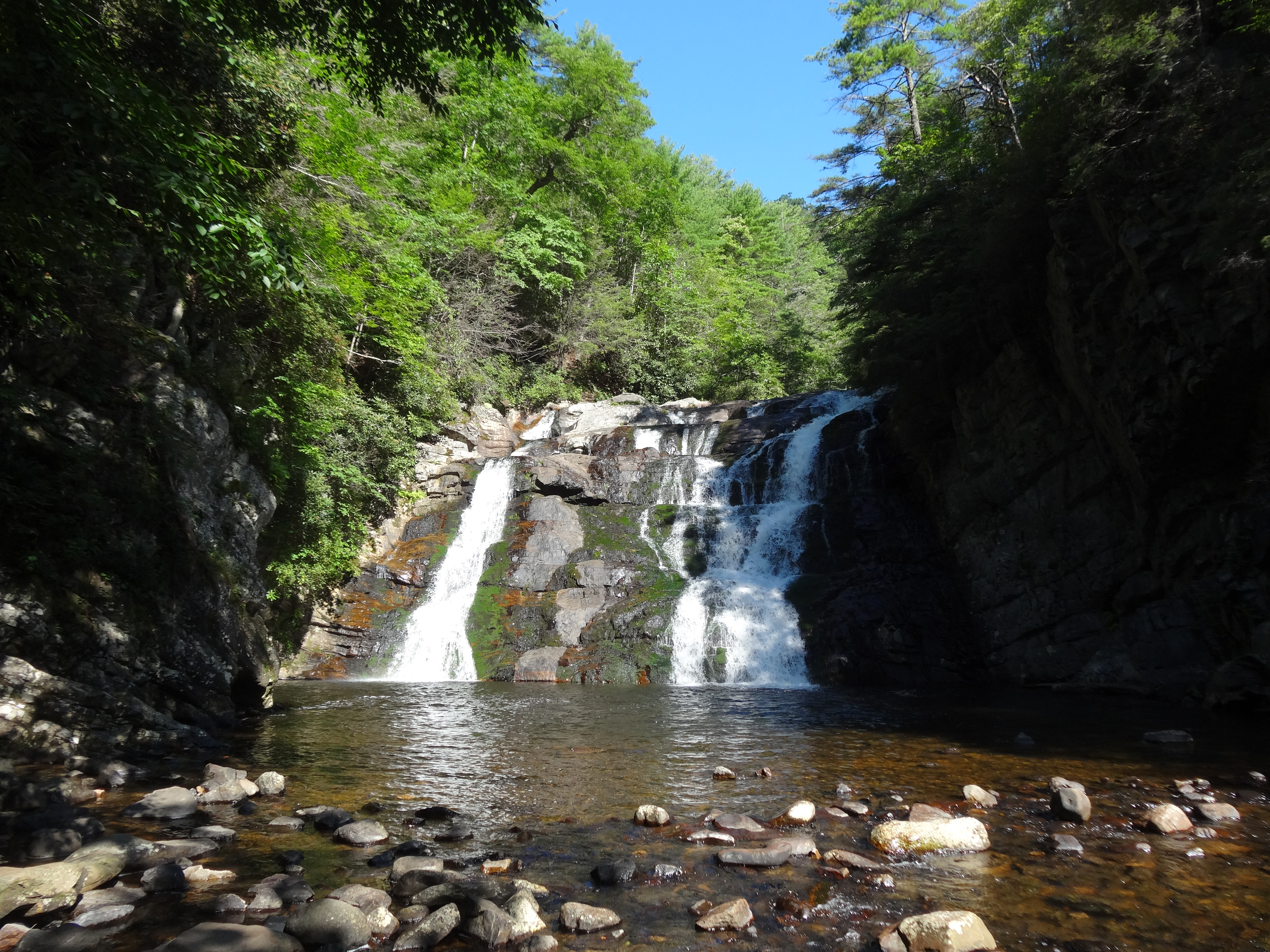
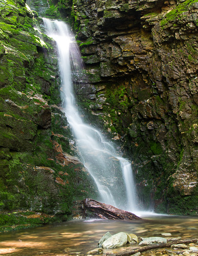
Laurel Falls

#firetower #pinnacle #Unicoi #forecast #weatherforecast
Rock Creek Hike

Wautauga River

Rock Creek Hike
near Dennis Cove Rd, Appalachian NST, Hampton, TN2
Rock Creek Hike
Clear Fork Creek
Rock Creek Hike
Laurel Falls, on the Appalachian Trail.
Topographic Map of Mountain Laurel Ct, Unicoi, TN, USA
Find elevation by address:

Places near Mountain Laurel Ct, Unicoi, TN, USA:
131 Meadowstone Dr
142 Poplar Rd
1101 Whispering Pines Rd
613 Whispering Pines Rd
1105 Whispering Pines Rd
1430 Whispering Pines Rd
215 Mt Crest Dr
530 Tipton Rd
110 Orchard Dr
624 Laurels Rd
411 Greenbrook Cir
705 Laurels Rd
665 Laurels Rd
1358 Suntree Rd
102 Stephenson Rd
632 Toll Branch Rd
612 Toll Branch Rd
Marbleton Rd, Unicoi, TN, USA
120 Leedham Ln
2041 Scioto Rd
Recent Searches:
- Elevation of Corso Fratelli Cairoli, 35, Macerata MC, Italy
- Elevation of Tallevast Rd, Sarasota, FL, USA
- Elevation of 4th St E, Sonoma, CA, USA
- Elevation of Black Hollow Rd, Pennsdale, PA, USA
- Elevation of Oakland Ave, Williamsport, PA, USA
- Elevation of Pedrógão Grande, Portugal
- Elevation of Klee Dr, Martinsburg, WV, USA
- Elevation of Via Roma, Pieranica CR, Italy
- Elevation of Tavkvetili Mountain, Georgia
- Elevation of Hartfords Bluff Cir, Mt Pleasant, SC, USA