Elevation of Mount Wilson, Yukon, Unorganized, YT Y0B, Canada
Location: Canada > Yukon Territory > Yukon > Destruction Bay >
Longitude: -139.11416
Latitude: 60.5708333
Elevation: 3438m / 11279feet
Barometric Pressure: 66KPa
Elevation Map:
Satellite Map:
Related Photos:
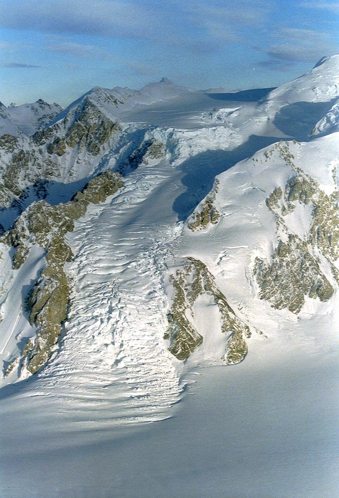
Kluane Nationalpark
Topographic Map of Mount Wilson, Yukon, Unorganized, YT Y0B, Canada
Find elevation by address:

Places near Mount Wilson, Yukon, Unorganized, YT Y0B, Canada:
Staiway Peak
Kaslowhub Ne5
Pinnacle Nw5
Stairway N4
Mount Bellingshausen
Atrypa Peak
Kaskawulsh Mountain
Mount Payer
Payer Ne2
Columbia Peak
Bighorn Peak
Mount Leacock
Disappointment Peak
Maxwell S4
Mount Maxwell
Mount Bartlett
Observation Mountain
Nines Peak
Sheep Mountain
Talbot Arm Motel Fas Gas
Recent Searches:
- Elevation of Corso Fratelli Cairoli, 35, Macerata MC, Italy
- Elevation of Tallevast Rd, Sarasota, FL, USA
- Elevation of 4th St E, Sonoma, CA, USA
- Elevation of Black Hollow Rd, Pennsdale, PA, USA
- Elevation of Oakland Ave, Williamsport, PA, USA
- Elevation of Pedrógão Grande, Portugal
- Elevation of Klee Dr, Martinsburg, WV, USA
- Elevation of Via Roma, Pieranica CR, Italy
- Elevation of Tavkvetili Mountain, Georgia
- Elevation of Hartfords Bluff Cir, Mt Pleasant, SC, USA