Elevation of Mount Tomuraushi, Biei, Kamikawa District, Hokkaido Prefecture, Japan
Location: Japan > Hokkaido Prefecture > Kamikawa District > Biei >
Longitude: 142.848703
Latitude: 43.52714
Elevation: 1986m / 6516feet
Barometric Pressure: 80KPa
Elevation Map:
Satellite Map:
Related Photos:

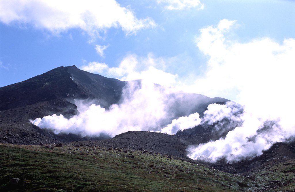
Daisetsuzan Grand Traverse 34 - View from Saansen-dai
REV0130154001440-2

大雪山2・A view from a ropeway
Topographic Map of Mount Tomuraushi, Biei, Kamikawa District, Hokkaido Prefecture, Japan
Find elevation by address:

Places near Mount Tomuraushi, Biei, Kamikawa District, Hokkaido Prefecture, Japan:
Shirogane
Nipesotsu-maruyama Volcanic Group
Mount Tokachi
Yumoto Shirogane Onsen Hotel
Tomuraushi
Shirogane Blue Pond
Fukiage
28 Gō- Higashi 5 Senkita, Kamifurano-chō, Sorachi-gun, Hokkaidō -, Japan
Lake Nukabira
Biei
Kamifurano
16 Gō-27 Higashi 6 Senkita, Kamifurano-chō, Sorachi-gun, Hokkaidō -, Japan
3 Chome-4-34 Bibaushikita, Biei-chō, Kamikawa-gun, Hokkaidō -, Japan
Sorachi District
85 Kamiotofuke, Kamishihoro-chō, Katō-gun, Hokkaidō -, Japan
Kato District
12 Go
Ikutora
Shintoku
Shikaoi
Recent Searches:
- Elevation of Corso Fratelli Cairoli, 35, Macerata MC, Italy
- Elevation of Tallevast Rd, Sarasota, FL, USA
- Elevation of 4th St E, Sonoma, CA, USA
- Elevation of Black Hollow Rd, Pennsdale, PA, USA
- Elevation of Oakland Ave, Williamsport, PA, USA
- Elevation of Pedrógão Grande, Portugal
- Elevation of Klee Dr, Martinsburg, WV, USA
- Elevation of Via Roma, Pieranica CR, Italy
- Elevation of Tavkvetili Mountain, Georgia
- Elevation of Hartfords Bluff Cir, Mt Pleasant, SC, USA