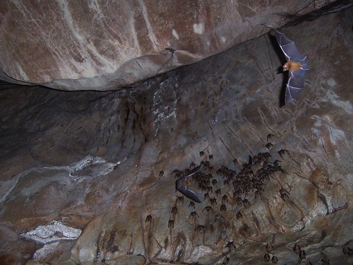
Elevation of Mount Tahan, Pahang, Malaysia
Location: Malaysia > Pahang > Jerantut > Tembeling >
Longitude: 102.234166
Latitude: 4.6325
Elevation: 1386m / 4547feet
Barometric Pressure: 86KPa
Related Photos:
Topographic Map of Mount Tahan, Pahang, Malaysia
Find elevation by address:

Places near Mount Tahan, Pahang, Malaysia:
Kampung Merapuh Lama
Chiku
Kuala Tahan
Tembeling
Gua Musang Fire And Rescue Station
Gua Musang
Ladang Penghulu Setia
Kampung Laloh
Lojing Highlands
Dabong
Kampung Tringkap
Tringkap旧巴剎
Taman Tringkap
Westwood Highland
Kuala Terla Village Viewpoint
Air Terjun Lata Berangin
Kuala Terla
Blue Valley
Bhpetrol Blue Valley
Boh Sungai Palas Tea Centre
Recent Searches:
- Elevation of Corso Fratelli Cairoli, 35, Macerata MC, Italy
- Elevation of Tallevast Rd, Sarasota, FL, USA
- Elevation of 4th St E, Sonoma, CA, USA
- Elevation of Black Hollow Rd, Pennsdale, PA, USA
- Elevation of Oakland Ave, Williamsport, PA, USA
- Elevation of Pedrógão Grande, Portugal
- Elevation of Klee Dr, Martinsburg, WV, USA
- Elevation of Via Roma, Pieranica CR, Italy
- Elevation of Tavkvetili Mountain, Georgia
- Elevation of Hartfords Bluff Cir, Mt Pleasant, SC, USA
