Elevation of Mount Sterling Township, Mt Sterling Township, IL, USA
Location: United States > Illinois > Brown County >
Longitude: -90.734273
Latitude: 39.958382
Elevation: 210m / 689feet
Barometric Pressure: 99KPa
Elevation Map:
Satellite Map:
Related Photos:
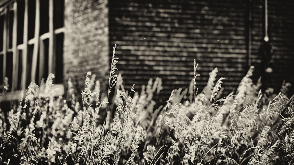
IMG_6448 16x9
And call to you across the sky

Drawve Lane
Greg's Cabin Trip 201
Worn lathe
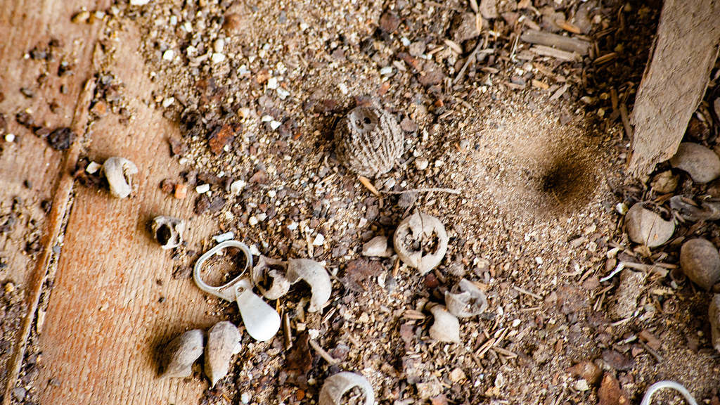
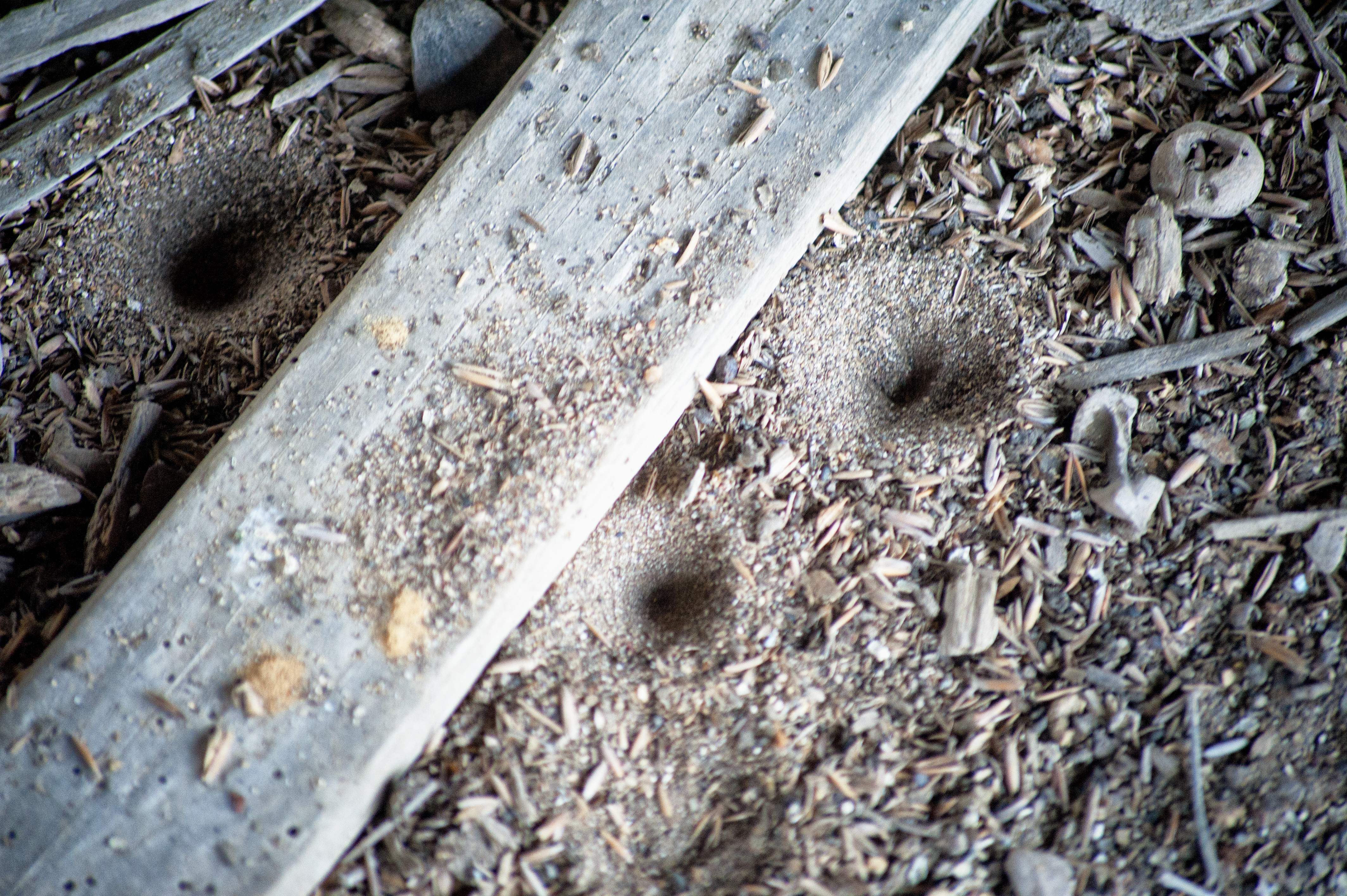
Ant lions, walnuts, and a pop top.

Oak, stamped tin, and hickory nuts.

Mind your step
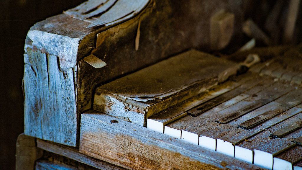
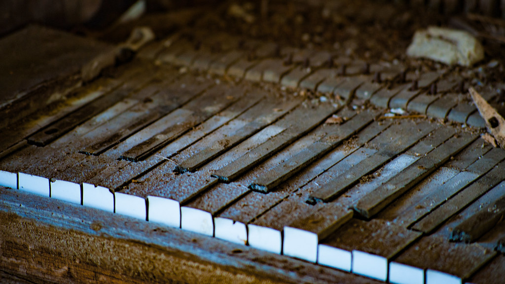
Grove School Piano revisited
What remains
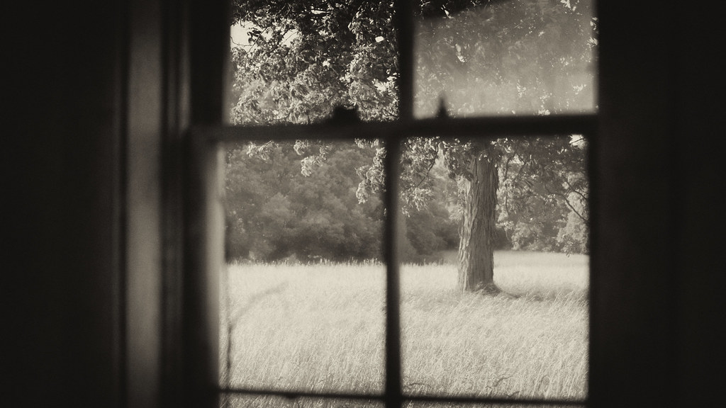
Day dreaming, Grove School
Grove School

Building the future
IMG_1816 16x9

Knee high by the Fourth of July. #illinois #corn

Illinois, Illinois Department of Corrections 1 Correctional Industries Mount Sterling
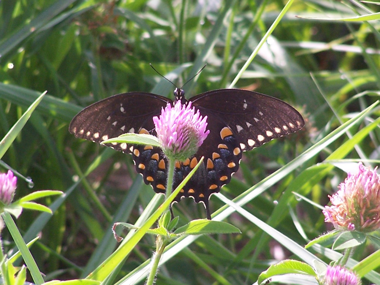
Spicebush Swallowtail

Pipevine Swallowtail
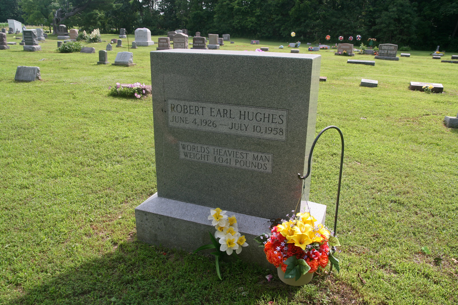
Robert Earl Hughes
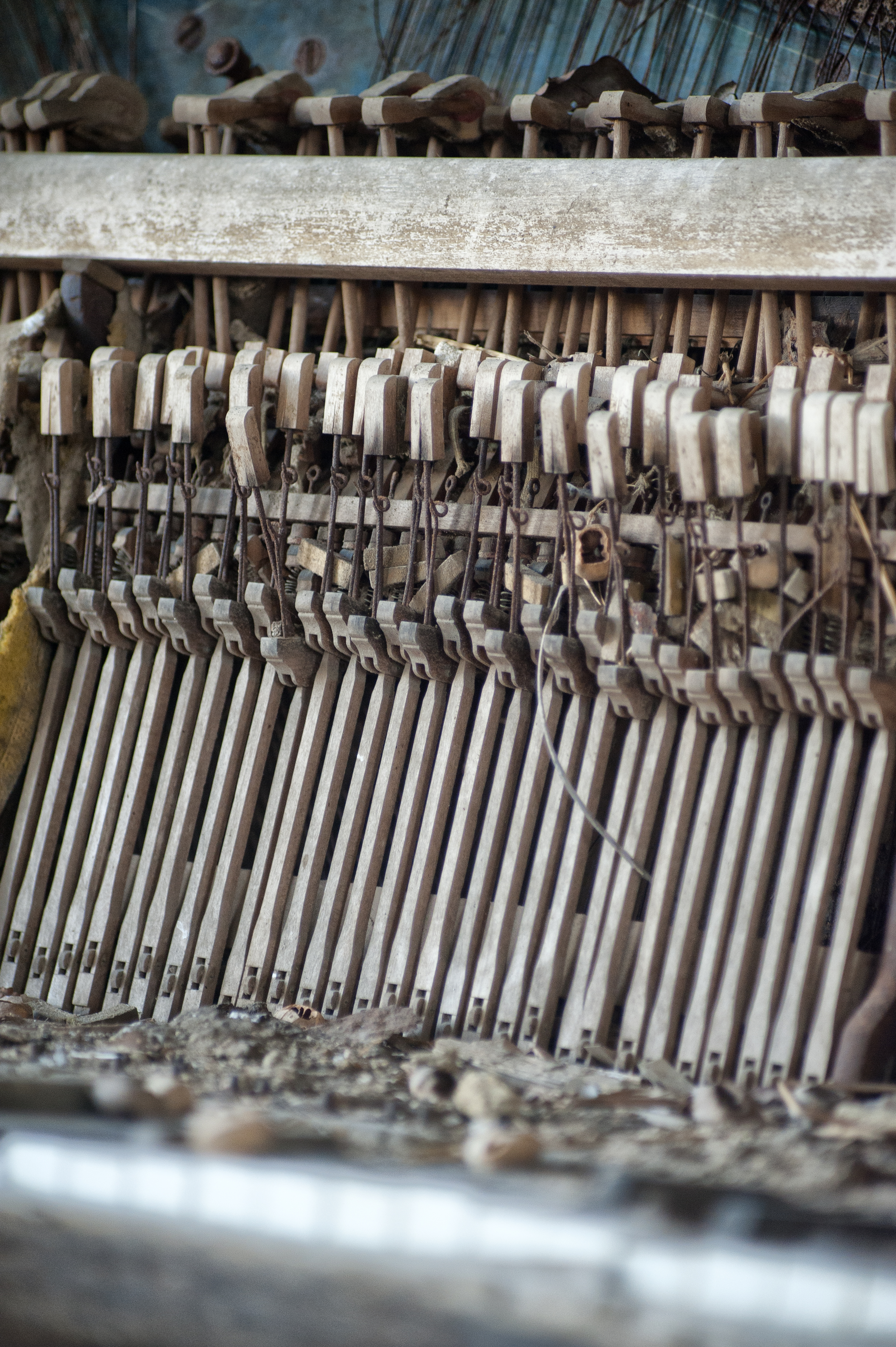
All those hammers and not a nail in sight
Making the best of it
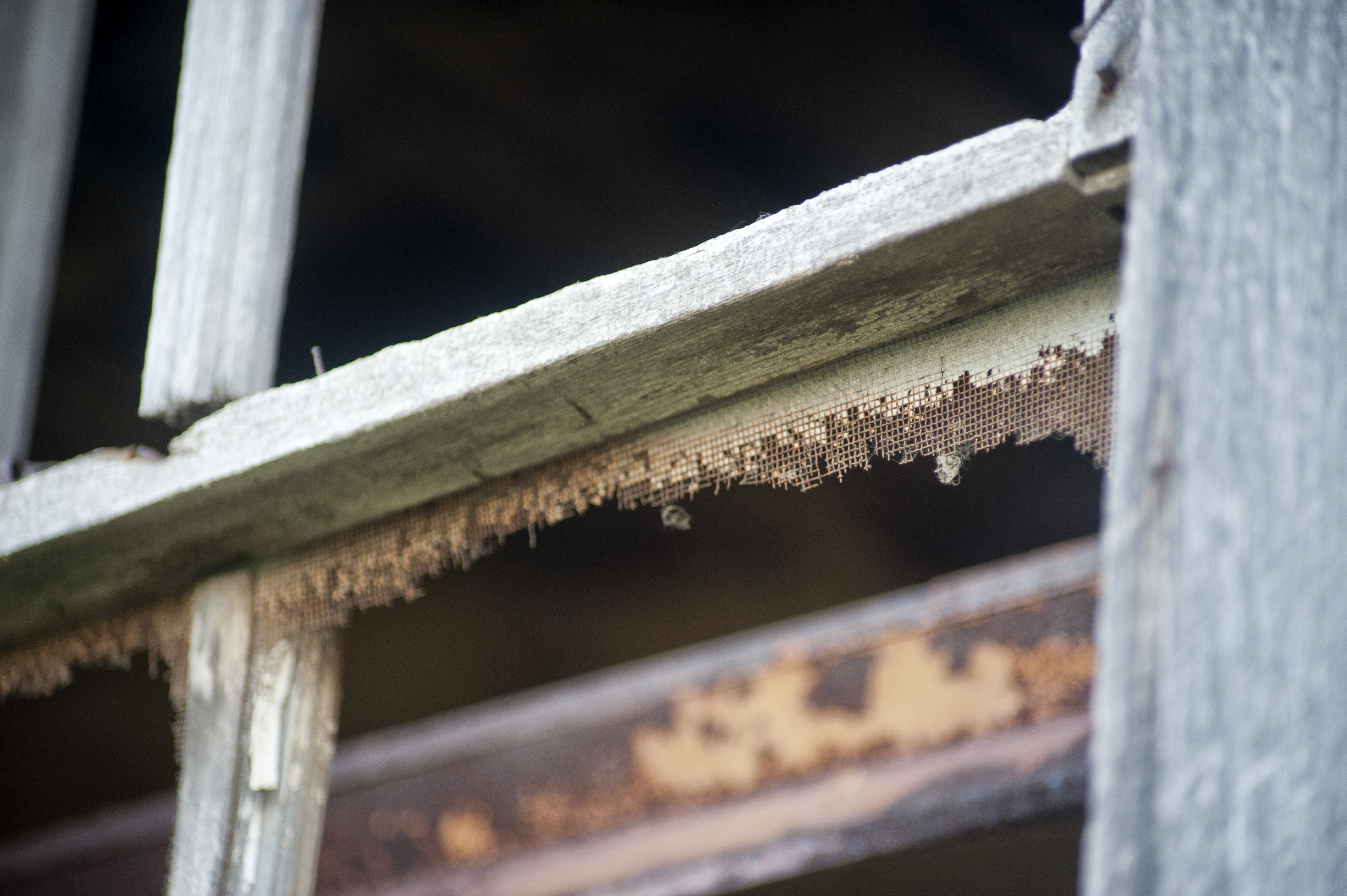
Letting the bugs in
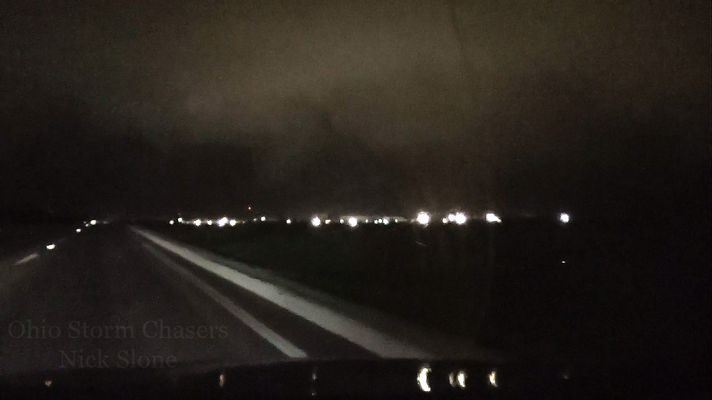
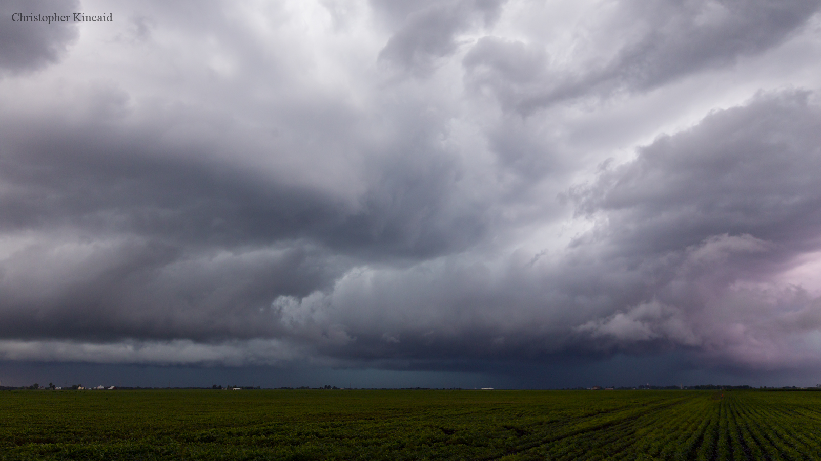
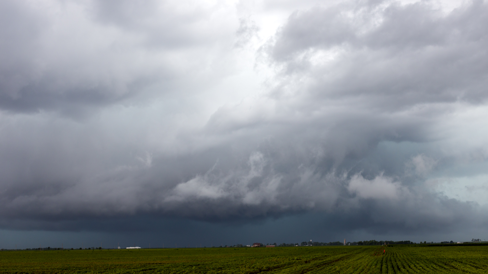
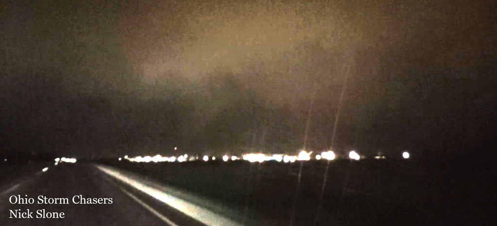
Funnel Cloud/Possible Tornado
Funnel Cloud/Possible Tornado
Topographic Map of Mount Sterling Township, Mt Sterling Township, IL, USA
Find elevation by address:

Places in Mount Sterling Township, Mt Sterling Township, IL, USA:
Places near Mount Sterling Township, Mt Sterling Township, IL, USA:
Brown County
E Washington St, Mt Sterling, IL, USA
Mt Sterling, IL, USA
Mount Sterling
County Rd N, Versailles, IL, USA
County Rd N, Mt Sterling, IL, USA
Elkhorn Township
Ripley Township
Buckhorn
Lee Township
Ripley
Ripley St, Mt Sterling, IL, USA
Mound Station
Main St, Timewell, IL, USA
Columbia St, Chambersburg, IL, USA
Perry Township
Perry
W Maine St, Perry, IL, USA
51 Camden Rd, Camden, IL, USA
Chambersburg Township
Recent Searches:
- Elevation of Corso Fratelli Cairoli, 35, Macerata MC, Italy
- Elevation of Tallevast Rd, Sarasota, FL, USA
- Elevation of 4th St E, Sonoma, CA, USA
- Elevation of Black Hollow Rd, Pennsdale, PA, USA
- Elevation of Oakland Ave, Williamsport, PA, USA
- Elevation of Pedrógão Grande, Portugal
- Elevation of Klee Dr, Martinsburg, WV, USA
- Elevation of Via Roma, Pieranica CR, Italy
- Elevation of Tavkvetili Mountain, Georgia
- Elevation of Hartfords Bluff Cir, Mt Pleasant, SC, USA