Elevation of Mount Ruth, Peace River D, BC V0C, Canada
Location: Canada > British Columbia > Tumbler Ridge >
Longitude: -120.09861
Latitude: 54.0061111
Elevation: 2492m / 8176feet
Barometric Pressure: 75KPa
Elevation Map:
Satellite Map:
Related Photos:
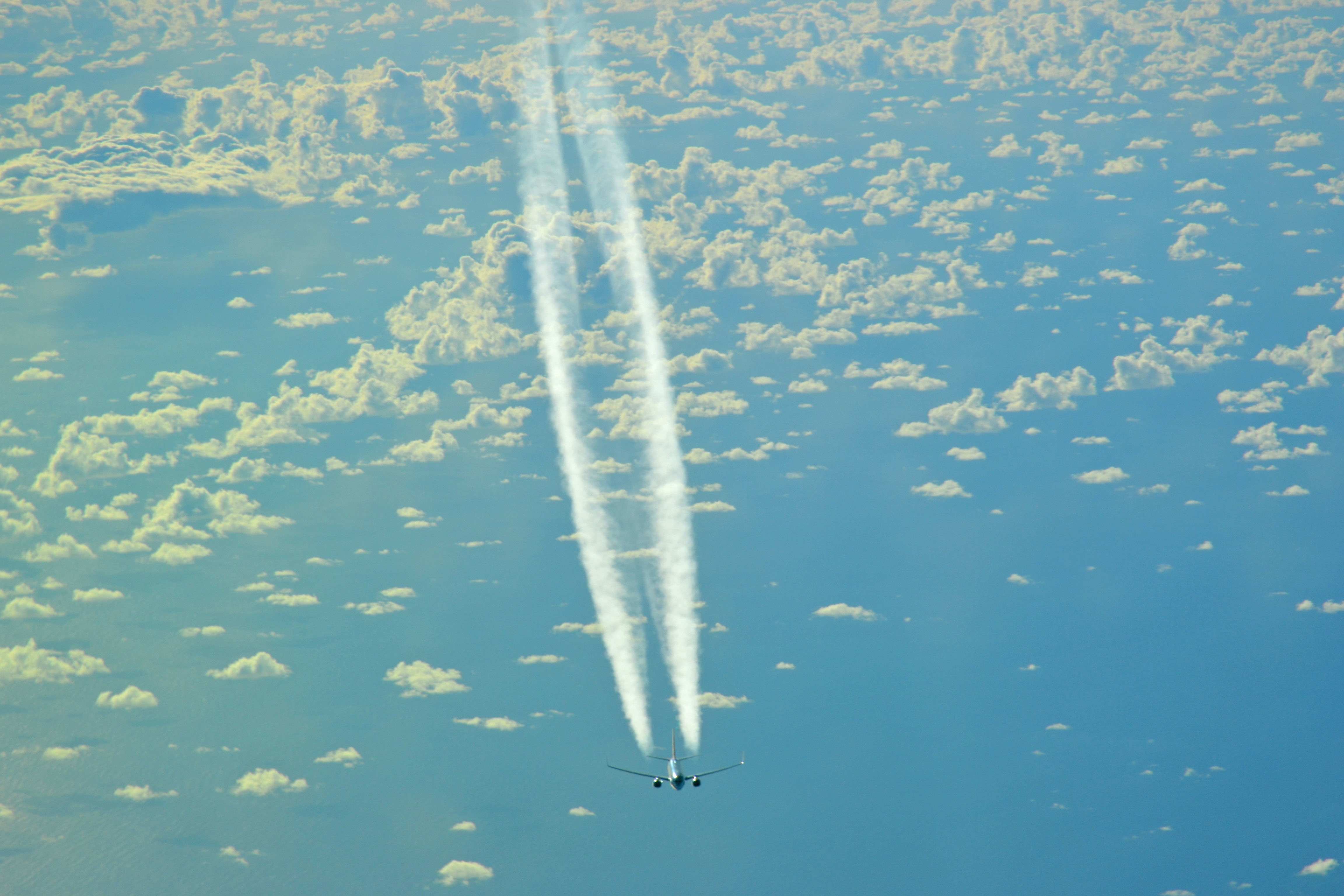
Con Trails
Topographic Map of Mount Ruth, Peace River D, BC V0C, Canada
Find elevation by address:

Places near Mount Ruth, Peace River D, BC V0C, Canada:
Wishaw Mountain
Mount Buchanan
Mount Hanington
Canadian Rockies
Mount May
Mount Saint Patrick
Mount Sir Alexander
Kitchi Mountain
Wallop Mountain
Kisano Mountain
Mount Ovington
Methodist Peak
Mount Pauline
Mount Rider
Mount Beechey
Mount Knudsen
Crescent Spur
Loos Rd, Crescent Spur, BC V0J 3E0, Canada
Mount Becker
Goat River
Recent Searches:
- Elevation of Corso Fratelli Cairoli, 35, Macerata MC, Italy
- Elevation of Tallevast Rd, Sarasota, FL, USA
- Elevation of 4th St E, Sonoma, CA, USA
- Elevation of Black Hollow Rd, Pennsdale, PA, USA
- Elevation of Oakland Ave, Williamsport, PA, USA
- Elevation of Pedrógão Grande, Portugal
- Elevation of Klee Dr, Martinsburg, WV, USA
- Elevation of Via Roma, Pieranica CR, Italy
- Elevation of Tavkvetili Mountain, Georgia
- Elevation of Hartfords Bluff Cir, Mt Pleasant, SC, USA