Elevation of Mount Mangabon, Lalawigan ng Misamis Oriental, Philippines
Location: Philippines > Northern Mindanao > Misamis Oriental >
Longitude: 125.098333
Latitude: 8.5983333
Elevation: 2134m / 7001feet
Barometric Pressure: 78KPa
Elevation Map:
Satellite Map:
Related Photos:
Water is like a day that passed by

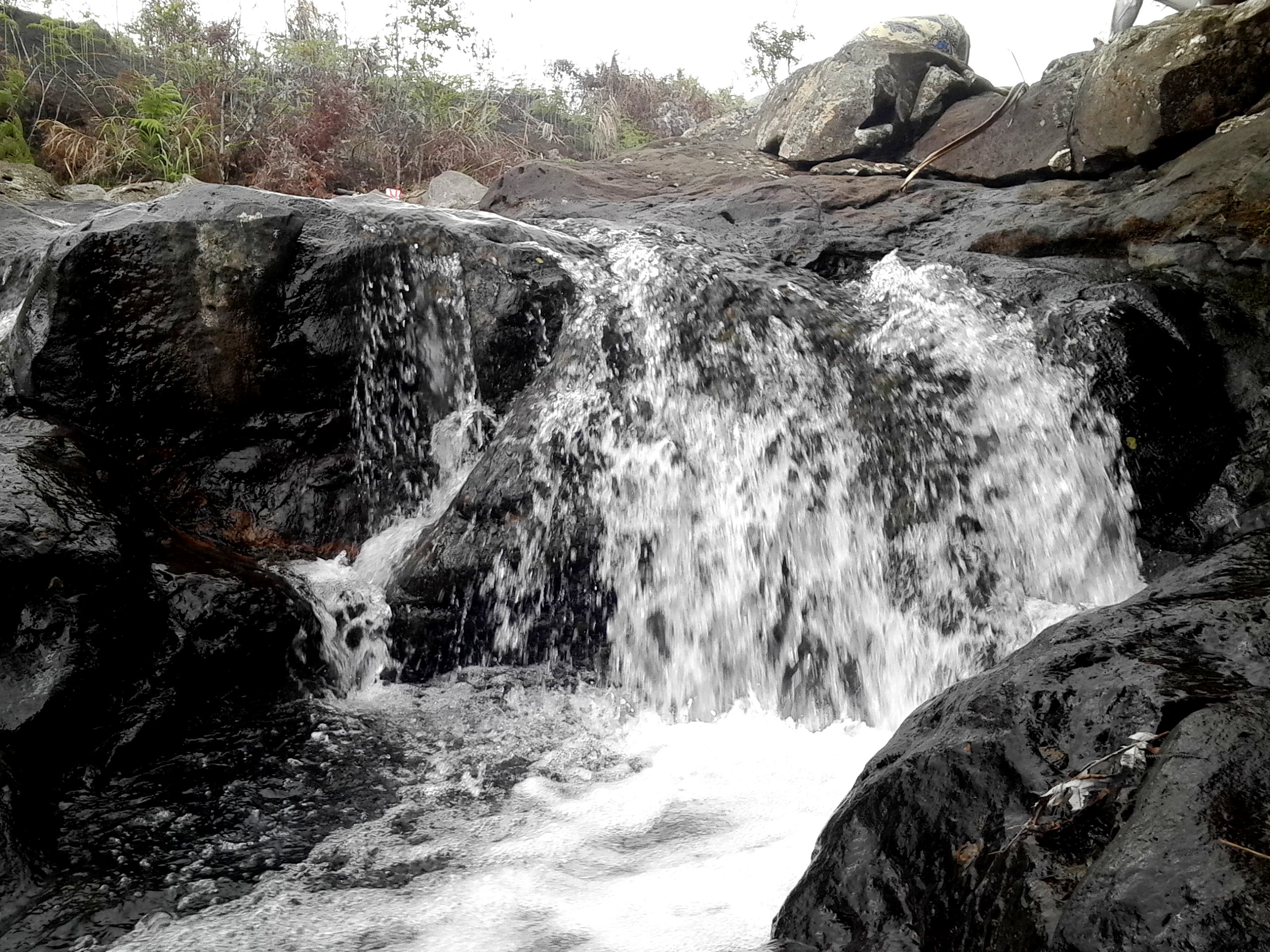
Water creek

River side scout

Flaming chamber

reflection is beauty

Falli'n leaves

Sky lines and coconut tree

Violet flower
Violet flower

Photo at the glass

Violet flower

Sky lights

Sky in the water
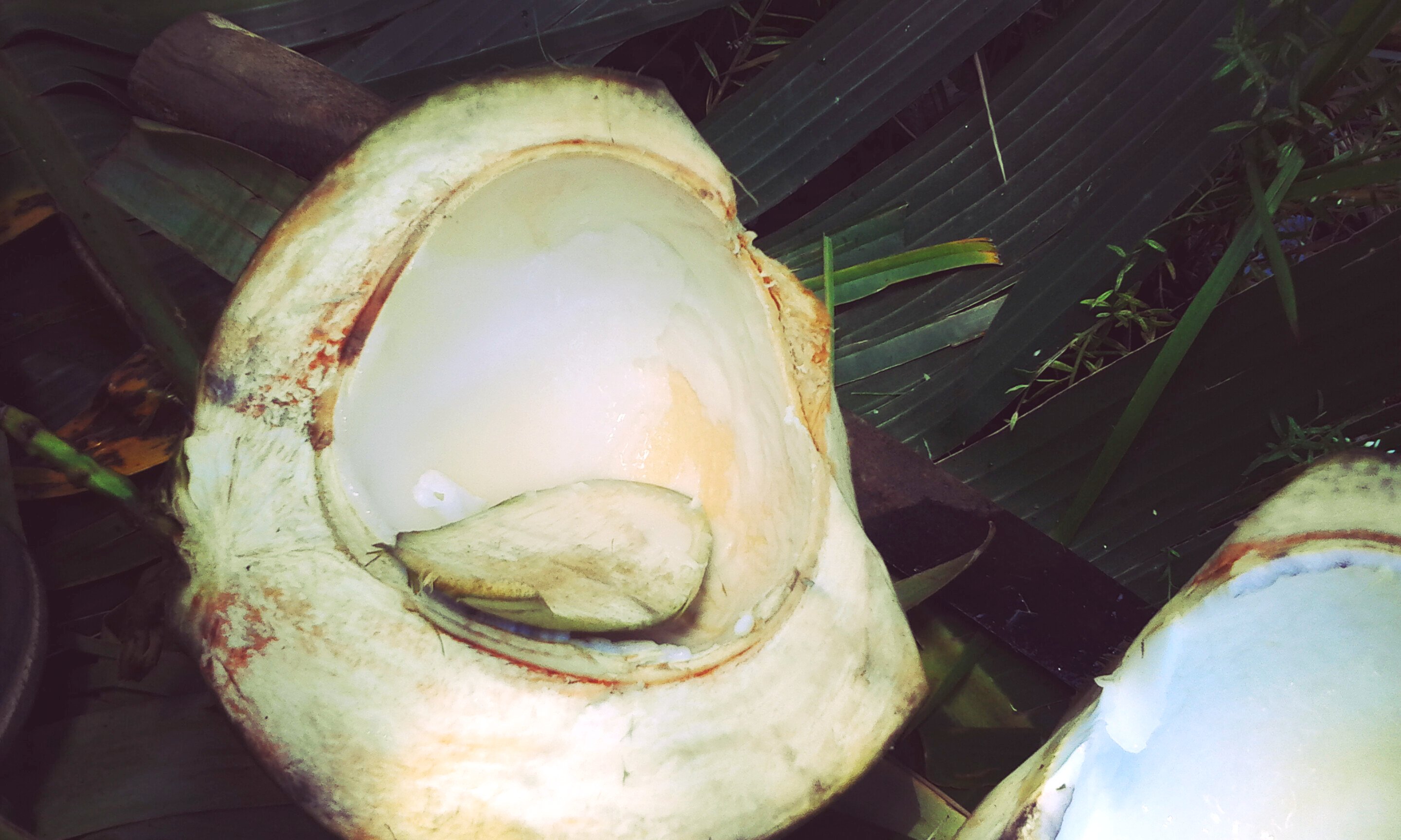
Young coconut

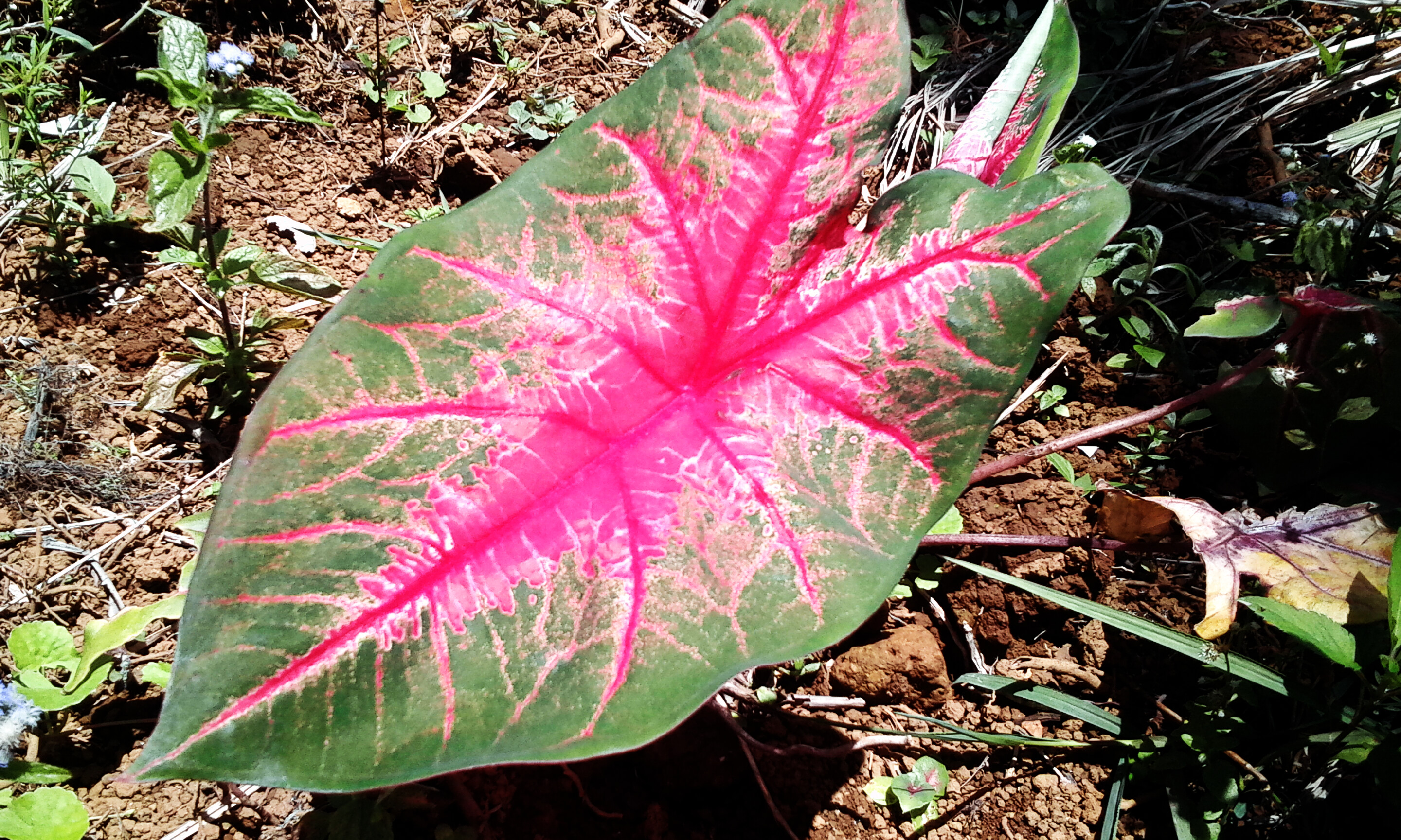
Nature seedbed

Red rose

Stone heart
Topographic Map of Mount Mangabon, Lalawigan ng Misamis Oriental, Philippines
Find elevation by address:

Places near Mount Mangabon, Lalawigan ng Misamis Oriental, Philippines:
Kalabugao
Doalnara Restoration Society
Malitbog
Aposkahoy
Claveria
Aposkahoy Ii Elementary School
Guilang-guilang
Luna
Mimbuntong
Claveria Municipal Hall
Mount Balatukan
Tamboboan
Gingoog
Civoleg
Patrocenio
Mambatangan
Tagoloan
Mantibugao
Tagoloan
Natumolan
Recent Searches:
- Elevation of Corso Fratelli Cairoli, 35, Macerata MC, Italy
- Elevation of Tallevast Rd, Sarasota, FL, USA
- Elevation of 4th St E, Sonoma, CA, USA
- Elevation of Black Hollow Rd, Pennsdale, PA, USA
- Elevation of Oakland Ave, Williamsport, PA, USA
- Elevation of Pedrógão Grande, Portugal
- Elevation of Klee Dr, Martinsburg, WV, USA
- Elevation of Via Roma, Pieranica CR, Italy
- Elevation of Tavkvetili Mountain, Georgia
- Elevation of Hartfords Bluff Cir, Mt Pleasant, SC, USA