Elevation map of Mount Kerinci, South Lubuk Gadang, Sangir, South Solok Regency, West Sumatra, Indonesia
Location: Indonesia > West Sumatra > South Solok Regency > Sangir > South Lubuk Gadang >
Longitude: 101.264166
Latitude: -1.6966666
Elevation: 3757m / 12326feet
Barometric Pressure: 64KPa
Elevation Map:
Satellite Map:
Related Photos:
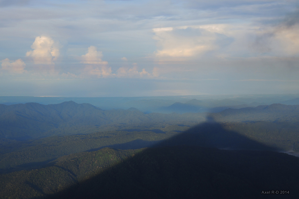
The view from Mt Kerinci
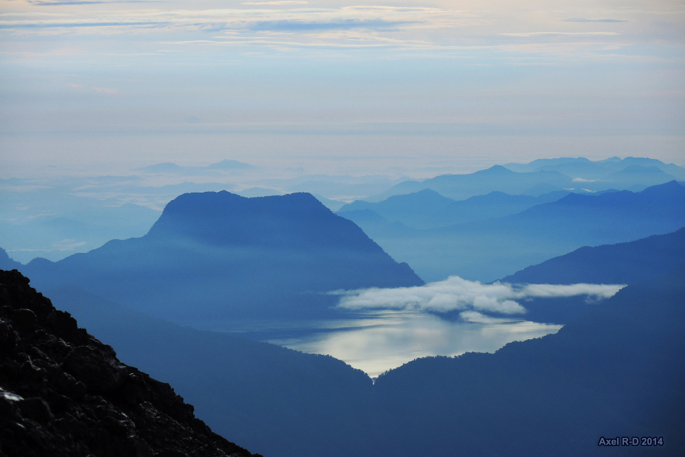
The view from Mt Kerinci
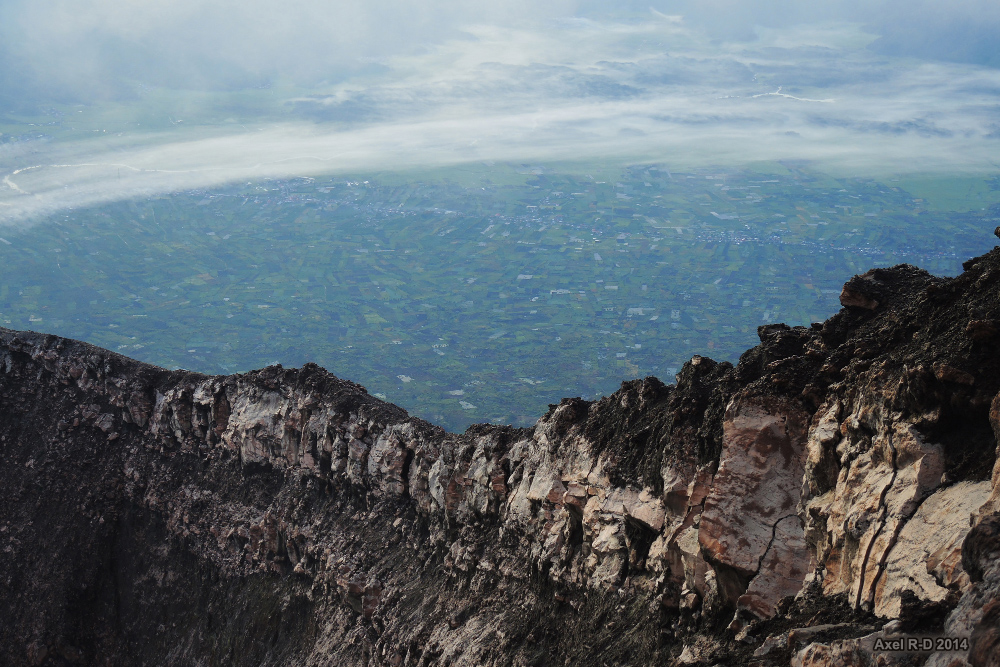
The view from Mt Kerinci
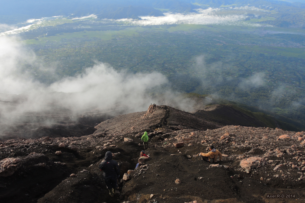
The view from Mt Kerinci
Topographic Map of Mount Kerinci, South Lubuk Gadang, Sangir, South Solok Regency, West Sumatra, Indonesia
Find elevation by address:

Places near Mount Kerinci, South Lubuk Gadang, Sangir, South Solok Regency, West Sumatra, Indonesia:
Sangir
Kayu Aro
Kerinci Regency
South Solok Regency
Sungai Penuh
Sungai Penuh City
Bungo Regency
Merangin Regency
Masjid Yamp - Bangko
Jambi
Central Tebo
Batang Asai
Padang Jering
Ranggo
Recent Searches:
- Elevation of Corso Fratelli Cairoli, 35, Macerata MC, Italy
- Elevation of Tallevast Rd, Sarasota, FL, USA
- Elevation of 4th St E, Sonoma, CA, USA
- Elevation of Black Hollow Rd, Pennsdale, PA, USA
- Elevation of Oakland Ave, Williamsport, PA, USA
- Elevation of Pedrógão Grande, Portugal
- Elevation of Klee Dr, Martinsburg, WV, USA
- Elevation of Via Roma, Pieranica CR, Italy
- Elevation of Tavkvetili Mountain, Georgia
- Elevation of Hartfords Bluff Cir, Mt Pleasant, SC, USA