Elevation of Mount Kenya, Kenya
Location: Kenya > Nyeri >
Longitude: 37.3084079
Latitude: -0.1521384
Elevation: 3645m / 11959feet
Barometric Pressure: 65KPa
Elevation Map:
Satellite Map:
Related Photos:
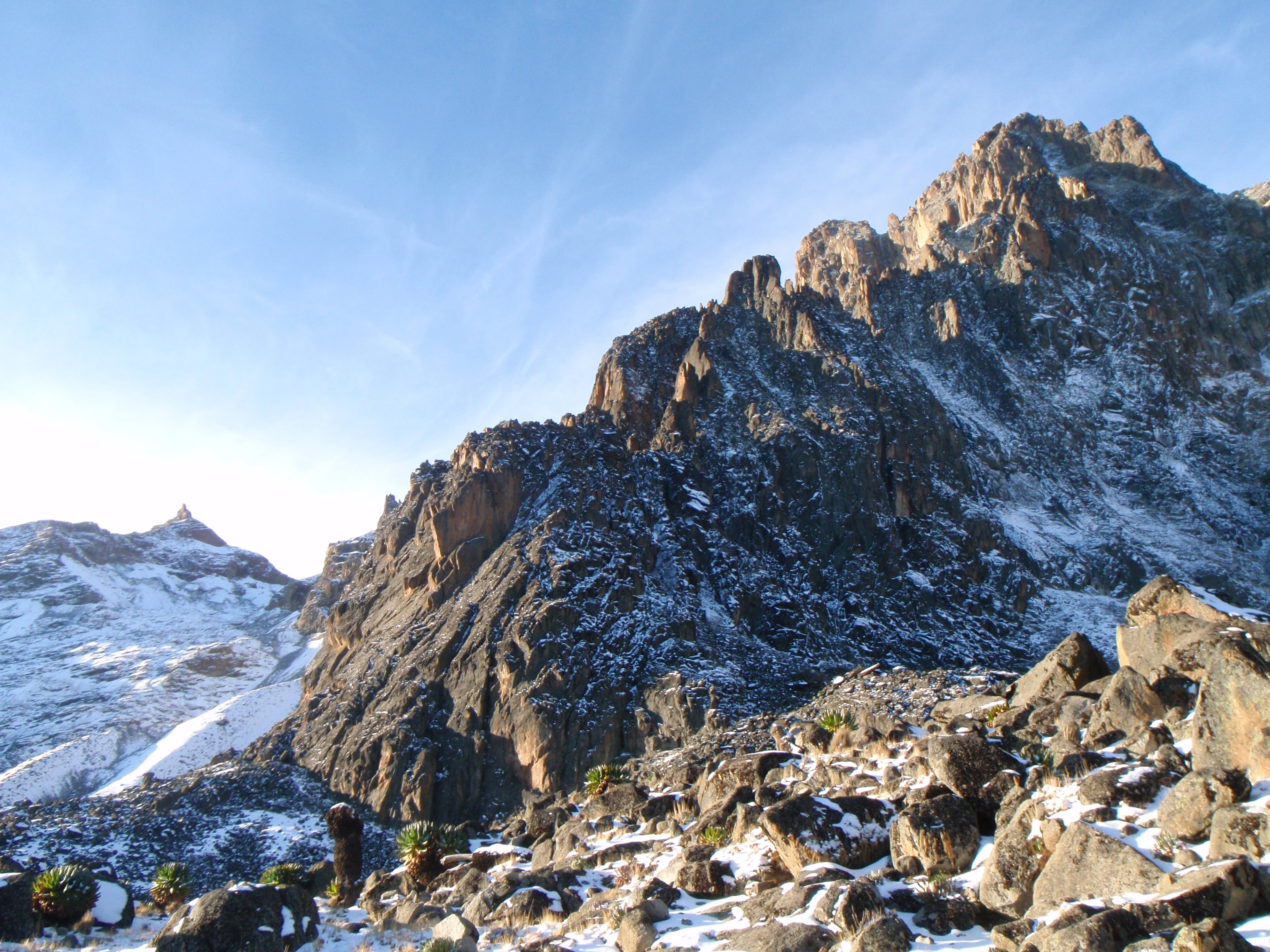
The North Ridge of Batian, Mt. Kenya
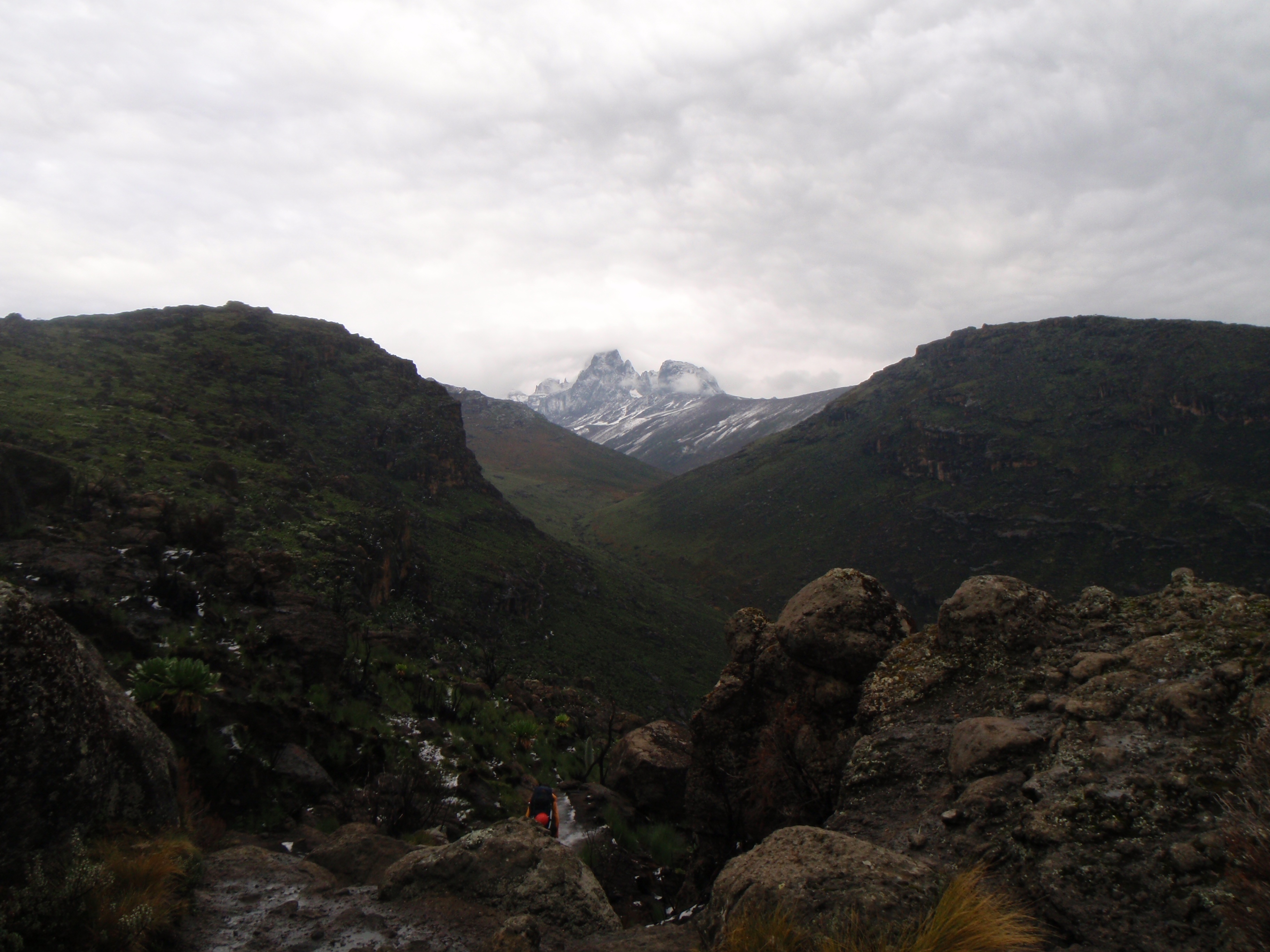
Batian is finally in our sight
Topographic Map of Mount Kenya, Kenya
Find elevation by address:

Places near Mount Kenya, Kenya:
Hotel Fairmont Mount Kenya Safari Club
Mount Kenya Safari Club
Kieni East
Ndathi
Naro Moru
Nyana Hill
Itiati Hill
Lusoi Resort
Thirigitu
Chaka Ranch
Ngandu
Ol Pejeta Conservancy
Karatina
Nyeri
Chuka
Mathira Technical & Vocational College
Embu
Kangemi Shopping Center
Ndagoni Girls Secondary School
Nyeri
Recent Searches:
- Elevation of Corso Fratelli Cairoli, 35, Macerata MC, Italy
- Elevation of Tallevast Rd, Sarasota, FL, USA
- Elevation of 4th St E, Sonoma, CA, USA
- Elevation of Black Hollow Rd, Pennsdale, PA, USA
- Elevation of Oakland Ave, Williamsport, PA, USA
- Elevation of Pedrógão Grande, Portugal
- Elevation of Klee Dr, Martinsburg, WV, USA
- Elevation of Via Roma, Pieranica CR, Italy
- Elevation of Tavkvetili Mountain, Georgia
- Elevation of Hartfords Bluff Cir, Mt Pleasant, SC, USA