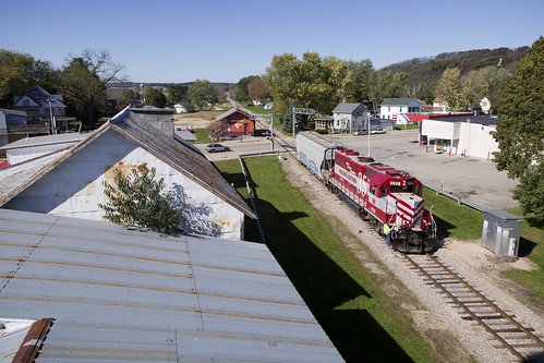
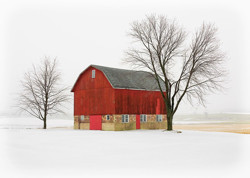
Elevation of Mount Horeb, Mt Horeb, WI, USA
Location: United States > Wisconsin > Dane County >
Longitude: -89.738456
Latitude: 43.008608
Elevation: 380m / 1247feet
Barometric Pressure: 97KPa
Related Photos:
Topographic Map of Mount Horeb, Mt Horeb, WI, USA
Find elevation by address:

Places near Mount Horeb, Mt Horeb, WI, USA:
103 Francis Cir
224 S Brookwood Dr
1928 Lewis Rd
Co Hwy JJ, Black Earth, WI, USA
W Mineral Point Rd, Cross Plains, WI, USA
4070 Observatory Rd
4062 Observatory Rd
9846 County Hwy A
Cross Plains
Primrose
County Hwy A, Mt Horeb, WI, USA
Cross Plains
3745 Sequoia Trail
3745 Sequoia Trail
3735 Sequoia Trail
7833 Ox Trail Way
Cleveland Road
7877 Schaller Rd
7794 Summerfield Dr
Verona
Recent Searches:
- Elevation of Corso Fratelli Cairoli, 35, Macerata MC, Italy
- Elevation of Tallevast Rd, Sarasota, FL, USA
- Elevation of 4th St E, Sonoma, CA, USA
- Elevation of Black Hollow Rd, Pennsdale, PA, USA
- Elevation of Oakland Ave, Williamsport, PA, USA
- Elevation of Pedrógão Grande, Portugal
- Elevation of Klee Dr, Martinsburg, WV, USA
- Elevation of Via Roma, Pieranica CR, Italy
- Elevation of Tavkvetili Mountain, Georgia
- Elevation of Hartfords Bluff Cir, Mt Pleasant, SC, USA


