Elevation of Mount Hector, Improvement District No. 9, AB T0L, Canada
Location: Canada > Alberta > Division No. 15 > Improvement District No. 9 >
Longitude: -116.25833
Latitude: 51.5733333
Elevation: 3097m / 10161feet
Barometric Pressure: 69KPa
Elevation Map:
Satellite Map:
Related Photos:

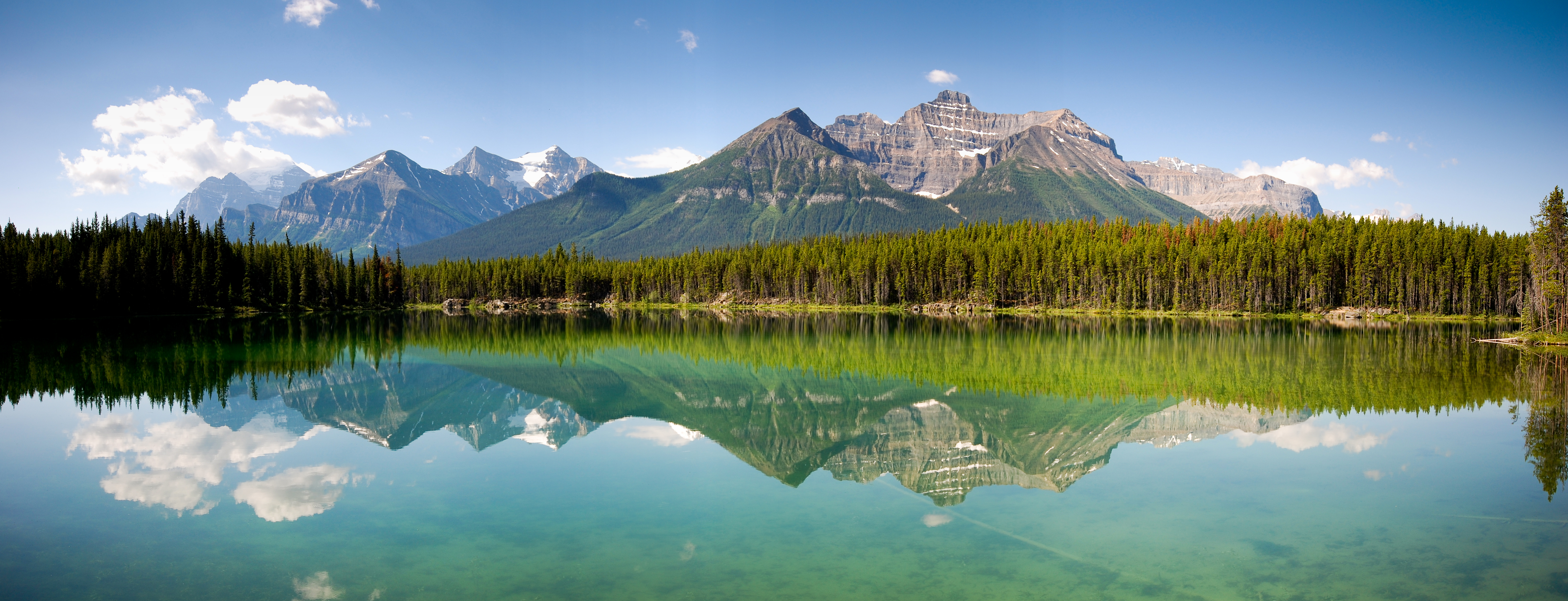
DSC1790. Explored. View across the Bow Valley.
Hidden Gem
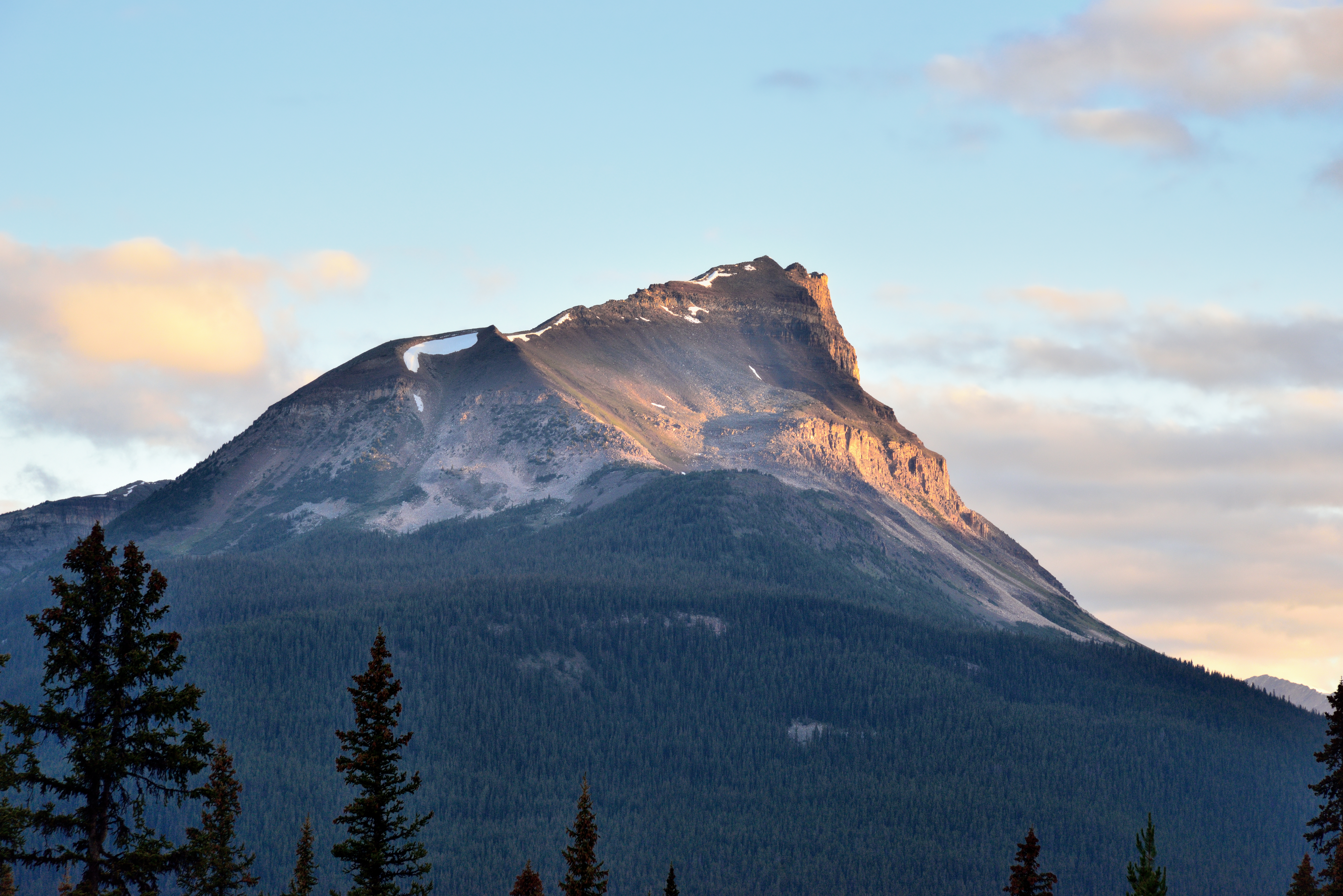
Crowfoot Mountain
Looking Glass
Mount Andromache Partially Hidden in the Clouds (Banff National Park)

On the Icefields Parkway (Explored) #40 on 8/2/11
Mt Niblock
Bow Peak Caught in the Morning Sunlight (Banff National Park)

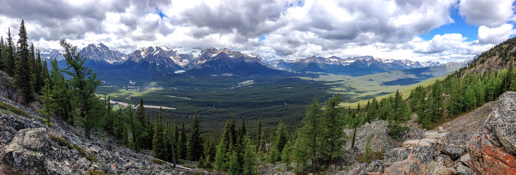
Mountains of the Waputik Range (Icefields Parkway)

Eagle Meadows
Lake Louise-10
Hidden Lake

Bald Eagle at Wiwaxy
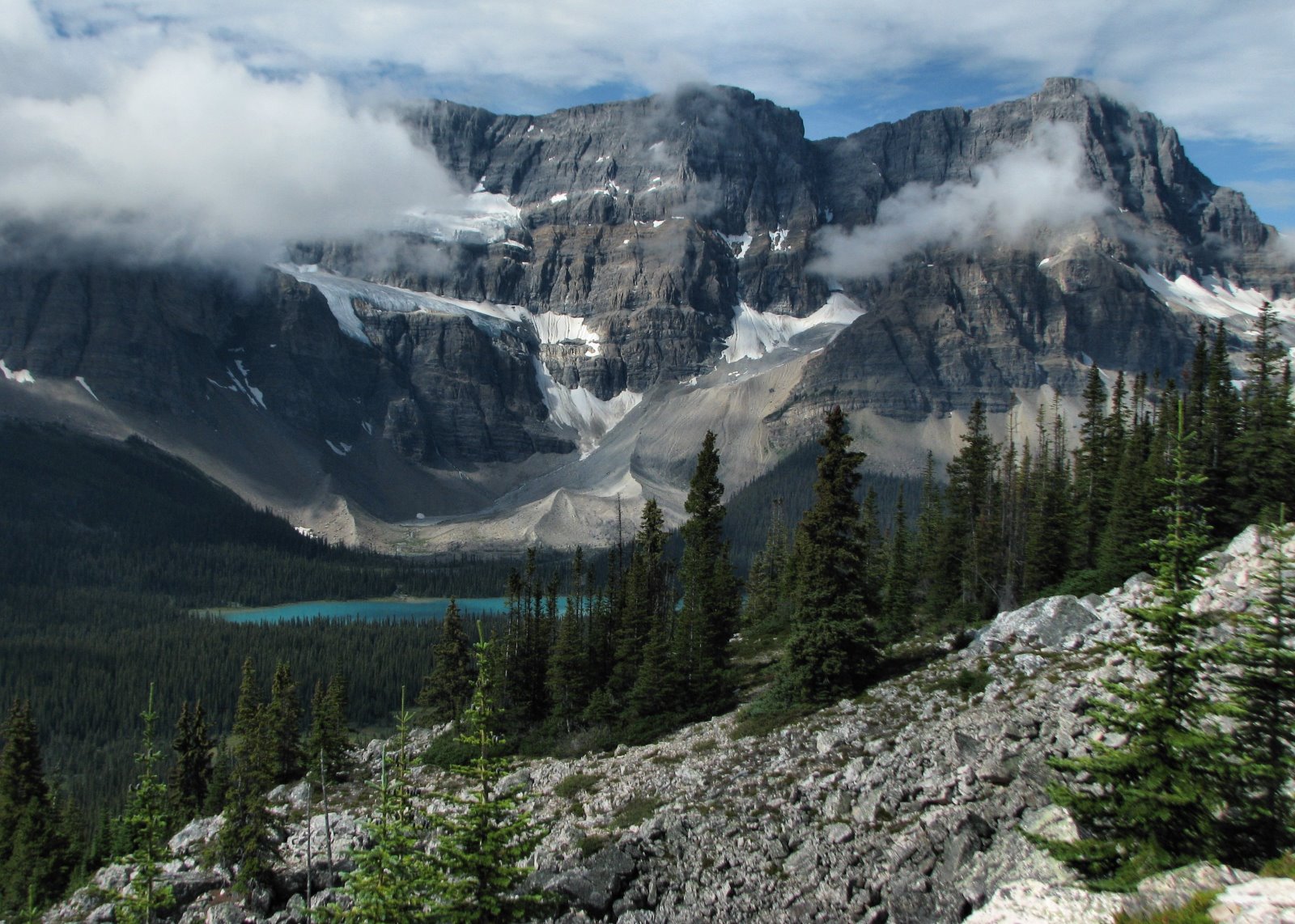
Crowfoot Mountain and Glacier

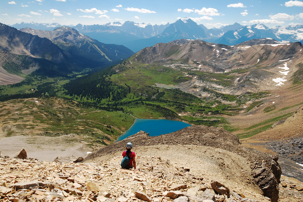
Saddleback at Top of the World

Swoosh !

Deer Run at the Gondola

Bald Eagle at Wiwaxy

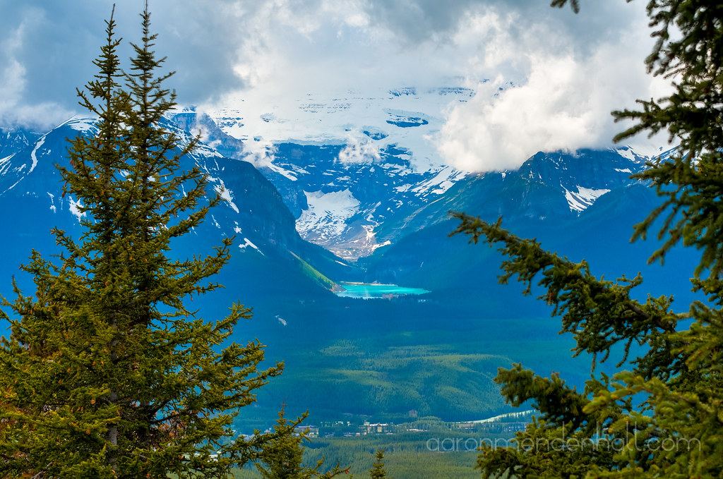
Lake Louise with Victoria Hanging Glacier
Lake Louise, Alberta, Canada
The view from my office today.
Topographic Map of Mount Hector, Improvement District No. 9, AB T0L, Canada
Find elevation by address:

Places near Mount Hector, Improvement District No. 9, AB T0L, Canada:
Mount Andromache
Andromache N4
Noseeum Peak
Waputik Peak
Hi Mosquito Creek Hostel
Hector Lake
Pulpit Peak
Improvement District No. 9
Mosquito Mountain
Quartzite Peak
Kicking Horse Pass
Bow Peak
Richardson Nw3
Devon Mountain
Mount Daly
Watermelon S2
Mount St. Piran
Lilliput Mountain
Dolomite Peak
Paget Peak
Recent Searches:
- Elevation of Corso Fratelli Cairoli, 35, Macerata MC, Italy
- Elevation of Tallevast Rd, Sarasota, FL, USA
- Elevation of 4th St E, Sonoma, CA, USA
- Elevation of Black Hollow Rd, Pennsdale, PA, USA
- Elevation of Oakland Ave, Williamsport, PA, USA
- Elevation of Pedrógão Grande, Portugal
- Elevation of Klee Dr, Martinsburg, WV, USA
- Elevation of Via Roma, Pieranica CR, Italy
- Elevation of Tavkvetili Mountain, Georgia
- Elevation of Hartfords Bluff Cir, Mt Pleasant, SC, USA