Elevation of Mount Glorious QLD, Australia

Location: Australia > Queensland > Moreton Bay Regional >

Longitude: 152.767222

Latitude: -27.334722

Elevation: 643m / 2110feet

Barometric Pressure: 94KPa

Elevation Map:

elevation map of Mount Glorious QLD, Australia

Satellite Map:

Satellite map of Mount Glorious QLD, Australia

Related Photos:

bird pigeon dove wompoofruitdove rainforest ptilinopusmagnificus daguilarnationalpark maialasection mtglorious brisbane figtree obscured hiding eastcoast capeyorktohunterr
Hide And Seek
landscape three rainforest brisbaneforestpark subtropicalrainforest nikond800 daguilarnationalpark eucalyptwoodland
the upper d'aguilar
catbird greencatbird ailuroeduscrassirostris bowerbird maialanationalpark mtglorious miaowingcall brisbane westernwindowtrack
Green World
lake lakewivenhoe brisbanevalley nikon nikonphotography landscapephotography sunset southeastqueensland australia charlesniautouphotography charlesniautou nationalgeographic d7500 nikond7500 scenicview scenic colour rural outback lifestyle australiangeographic
Lake Wivenhoe Sunset
celestial ethereal fineart heavenly landscape magic mysterious mystical nature scene scenery spirit spiritual view vista mountain hill valley ridge peak summit range forest tree bush wood rainforest queensland qld brisbane mountnebo westridgelookout dawn sunrise sunset dusk planart250
Find Your Light
bird raptor owl hawkowl southernboobook widelydistributed boombana thylogaletrack mtnebo daguilarnationalpark brisbane ninoxboobook
Owl Be Watching You!
panorama canon geocaching au australia qld queensland glasshousemountains redcliffe moretonbay canonef70200mmf28lisusm clearmountain 400d northpinedam lakesamsonvale 51exp
Clear Mountain View
wood blue light sky mountains beautiful clouds contrast canon bush rainforest exposure forrest timber australia joe brisbane panoramic lookout hills 7d qld queensland rays hdr brosnan joebrosnan
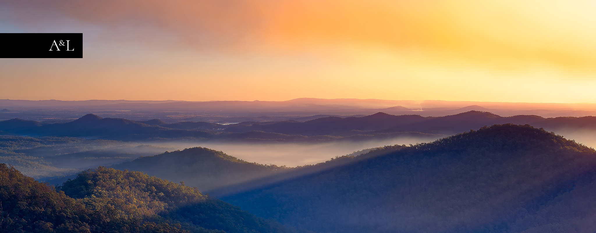
Westridge Lookout PANO
queensland bullocks statelibraryofqueensland slq
Bullock wagon of Mr Dietz at Samson Vale, ca. 1896
water creek canon geotagged australia queensland cedarcreek 400d sigma1020mmf456exhsm geo:lat=27322451 geo:lon=152783287
Flowing Fast
pink sunset tree silhouette clouds canon geotagged au australia queensland cedarcreek canonefs1855mmf3556ii 400d geo:lat=27329061 geo:lon=152864038
A touch of Pink
sunrise view
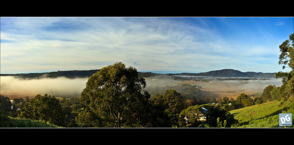
Misty sunrise Samford Valley
landscape brisbane mtglorious
Mt Glorious- day
trees nature clouds landscape cloudsstormssunsetssunrises
Mountains_Nick_Glorious View
animal bird riflebird paradiseriflebird female foraging mtnebo brisbane daguilarnationalpark thylogaletrack rainforest eucalyptforest ptilorisparadiseus sonya7iii backlight
Paradise Riflebird
trees sky nature clouds landscape lakes cloudsstormssunsetssunrises
Glorious View 002
bird yellowrobin easternyellowrobin eopsaltriaaustralis treetrunk bark daguilarnationalpark maialasection mtglorious brisbane
Guilty Pleasure
greenesfalls mountglorious brisbanevalley southeastqueensland australia mountains nature light forest rocks nikon nikonphotography landscape nationalpark bushwalks lookout spectacular breathtaking view water color colors colour winter magnicient colourful creek photography charlesniautou charlesniautouphotography charlesphotoplace longexposure tokina tokina1120mm haida filters
Greenes Falls
pigeon fruitdove wompoofruitdove ptilinopusmagnificus fig maialasection daguilarnationalpark mtglorious brisbane rainforest vivid colourful
Wompoo Fruit-dove
queensland statelibraryofqueensland rivers landscape trees reflections cedarcreek
Trees hanging over Cedar Creek, Queensland, ca. 1920
cycling nikon sunday lightroom mtglorious d80 stevegeorge goattrack
The Goat Track
trees blackandwhite bw forest landscape eucalypt eucalypts bushland stateforest thebush
the lower d'aguilar
water creek rainforest rocks australia brisbane bushwalking qld queensland geology 2015 brisbaneforestpark bushwalkers daguilarnationalpark northbrookgorge sonya7r ooliticrock
Northbrook Gorge
track trail rainforest eucalyptandvineforest boombana daguilarnationalpark mtnebo thylogaletrack shadows sunlight vegetation wildlife texture jerryb4jones
Thylogale Track
Six image panorama taken with DJI MavicPro
autumn sunset lake water landscape day dam australia brisbane queensland lakewivenhoe autumnsunset wivenhoedam vigilantphotographersunite pwpartlycloudy
wivenhoe autumn sunset
longexposure creek forest canon landscape eos waterfall rainforest australia brisbane queensland tropical 6d canonef24105mmf4lisusm daguillarnationalpark
The path of least resistance
sunset lake reflection tree clouds canon landscape twilight australia lagoon brisbane queensland samford 1740 southeastqueensland leefilters 5dmarkii lee06hardgrad martincanning martincanningcom hoyahdpolariser
So beautiful...
trees reflection water creek palms rainforest rocks stream rocky australia brisbane bushwalking qld queensland 2015 brisbaneforestpark bushwalkers daguilarnationalpark northbrookgorge sonya7r
Walking down Northbrook Creek
fungus fungi bracketfungus rottingwood rainforest mtglorious daguilarnationalpark maialasection naturalgarden decomposers leaflitter forestfloor decay trees buttressroots
Natural Gardening
creek waterfall nikon cedarcreek cedarcreekfalls d90
Cedar Creek Falls
Northbrook Creek
panorama fog canon landscape au australia queensland canonef1740mmf4lusm samford 5dmkii
Foggy Samford Valley
longexposure stars landscape startrails
starrrs are pretty
flowers blue wild plants white brisbane agapanthus southafrican lilyofthenile amaryllidaceae ettamogahpub mtglorious kenmaynard daguilarnationalpark agapanthoideae nedandhisneddy maialasection
When Agapanthus Runs Wild.
boombana thylogaletrack daguilarrange daguilarnationalpark mountglorious queensland 2bid113 macro moss bryophyte tanetahi
Moss macro