Elevation of Mount Drinnan, Yellowhead County, AB T0E, Canada
Location: Canada > Alberta > Division No. 14 > Yellowhead County >
Longitude: -117.65166
Latitude: 53.1183333
Elevation: 2198m / 7211feet
Barometric Pressure: 78KPa
Elevation Map:
Satellite Map:
Related Photos:
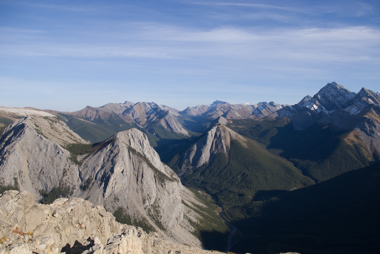
Imagine... a glacier !
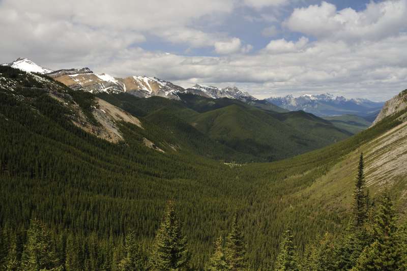
Rockies landscape !

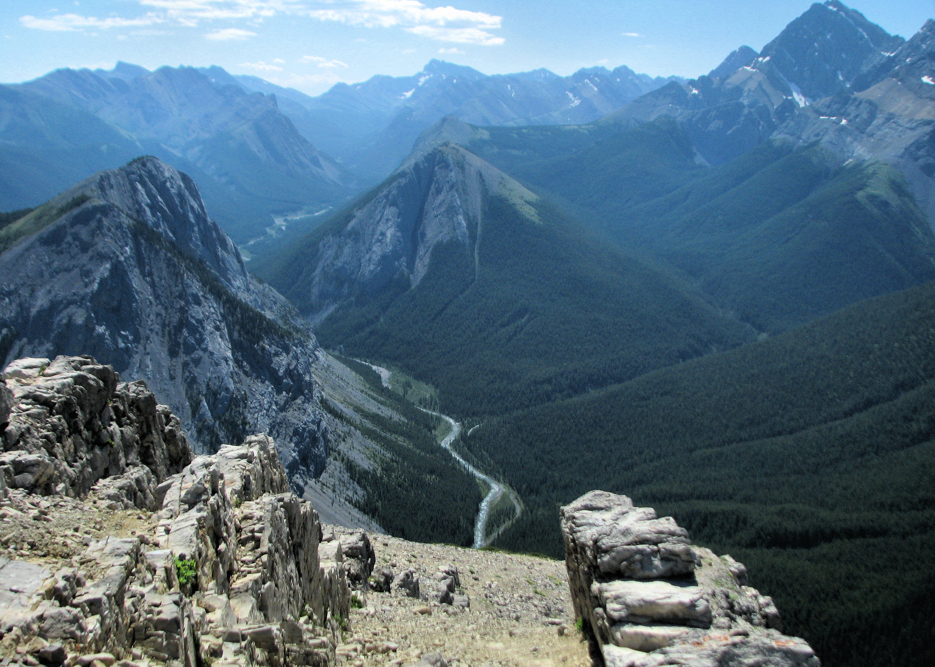
Sulpfur Skyline, Jasper National Park
Sulphur Creek

Sulfur Creek (cnp1009-07-107)
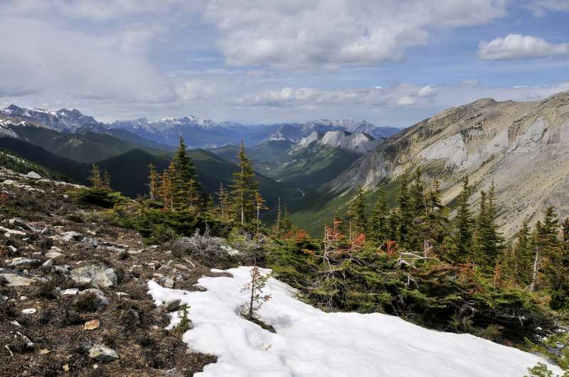
View from Sulphur Skyline
Topographic Map of Mount Drinnan, Yellowhead County, AB T0E, Canada
Find elevation by address:

Places near Mount Drinnan, Yellowhead County, AB T0E, Canada:
Slide Mountain
Sphinx Mountain
Miette Hotsprings
Utopia Mountain
Miette Hot Springs
Mount O'hagan
Mount Berry
Mount Gregg
Capitol Mountain
Mount Merlin
Luscar Mountain
Sirdar Mountain
Rock Door Peak
Roche Miette
329 Mountain St
Fuller Pl, Hinton, AB T7V 1K3, Canada
Medicine Lake
Leyland Mountain
Emir Mountain
Hinton
Recent Searches:
- Elevation of Corso Fratelli Cairoli, 35, Macerata MC, Italy
- Elevation of Tallevast Rd, Sarasota, FL, USA
- Elevation of 4th St E, Sonoma, CA, USA
- Elevation of Black Hollow Rd, Pennsdale, PA, USA
- Elevation of Oakland Ave, Williamsport, PA, USA
- Elevation of Pedrógão Grande, Portugal
- Elevation of Klee Dr, Martinsburg, WV, USA
- Elevation of Via Roma, Pieranica CR, Italy
- Elevation of Tavkvetili Mountain, Georgia
- Elevation of Hartfords Bluff Cir, Mt Pleasant, SC, USA