Elevation of Mount Davidson, Bighorn No. 8, AB T0L, Canada
Location: Canada > Alberta > Division No. 15 > Bighorn No. 8 >
Longitude: -115.34
Latitude: 51.4066666
Elevation: 2797m / 9176feet
Barometric Pressure: 72KPa
Elevation Map:
Satellite Map:
Related Photos:
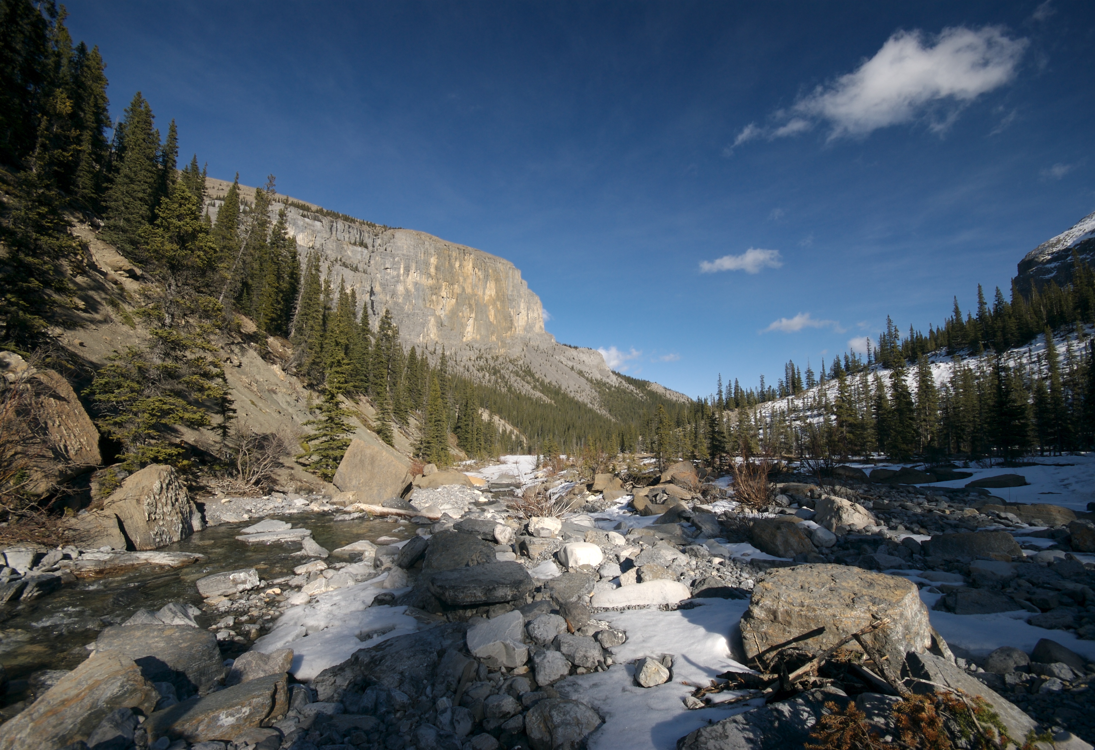
Ghost River
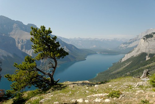
Aylmer Lookout
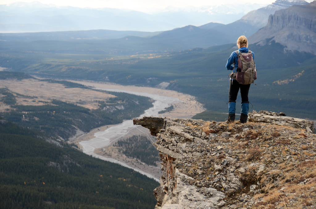
Valley Wide Field of View
Topographic Map of Mount Davidson, Bighorn No. 8, AB T0L, Canada
Find elevation by address:

Places near Mount Davidson, Bighorn No. 8, AB T0L, Canada:
Astral Peak
Pakakos Mountain
Mount Aylmer
Apparition Mountain
Brocks Peak
Mount Oliver
Revenant Mountain
Lake Minnewanka
Aylmer Pass Junction Campground
Spectral Peak
Psychic Peak
Zombie Peak
Mount Girouard
Haunted Peak
Mount Inglismaldie
Mount Peechee
Otuskwan Peak
Two Jack Lake
Two Jack Lakeside Campground
Two Jack Lakeside Campground
Recent Searches:
- Elevation of Corso Fratelli Cairoli, 35, Macerata MC, Italy
- Elevation of Tallevast Rd, Sarasota, FL, USA
- Elevation of 4th St E, Sonoma, CA, USA
- Elevation of Black Hollow Rd, Pennsdale, PA, USA
- Elevation of Oakland Ave, Williamsport, PA, USA
- Elevation of Pedrógão Grande, Portugal
- Elevation of Klee Dr, Martinsburg, WV, USA
- Elevation of Via Roma, Pieranica CR, Italy
- Elevation of Tavkvetili Mountain, Georgia
- Elevation of Hartfords Bluff Cir, Mt Pleasant, SC, USA