Elevation of Mount Burney, Kananaskis, AB T0L, Canada
Location: Canada > Alberta > Turner Valley >
Longitude: -115.06166
Latitude: 50.71
Elevation: 2854m / 9363feet
Barometric Pressure: 71KPa
Elevation Map:
Satellite Map:
Related Photos:
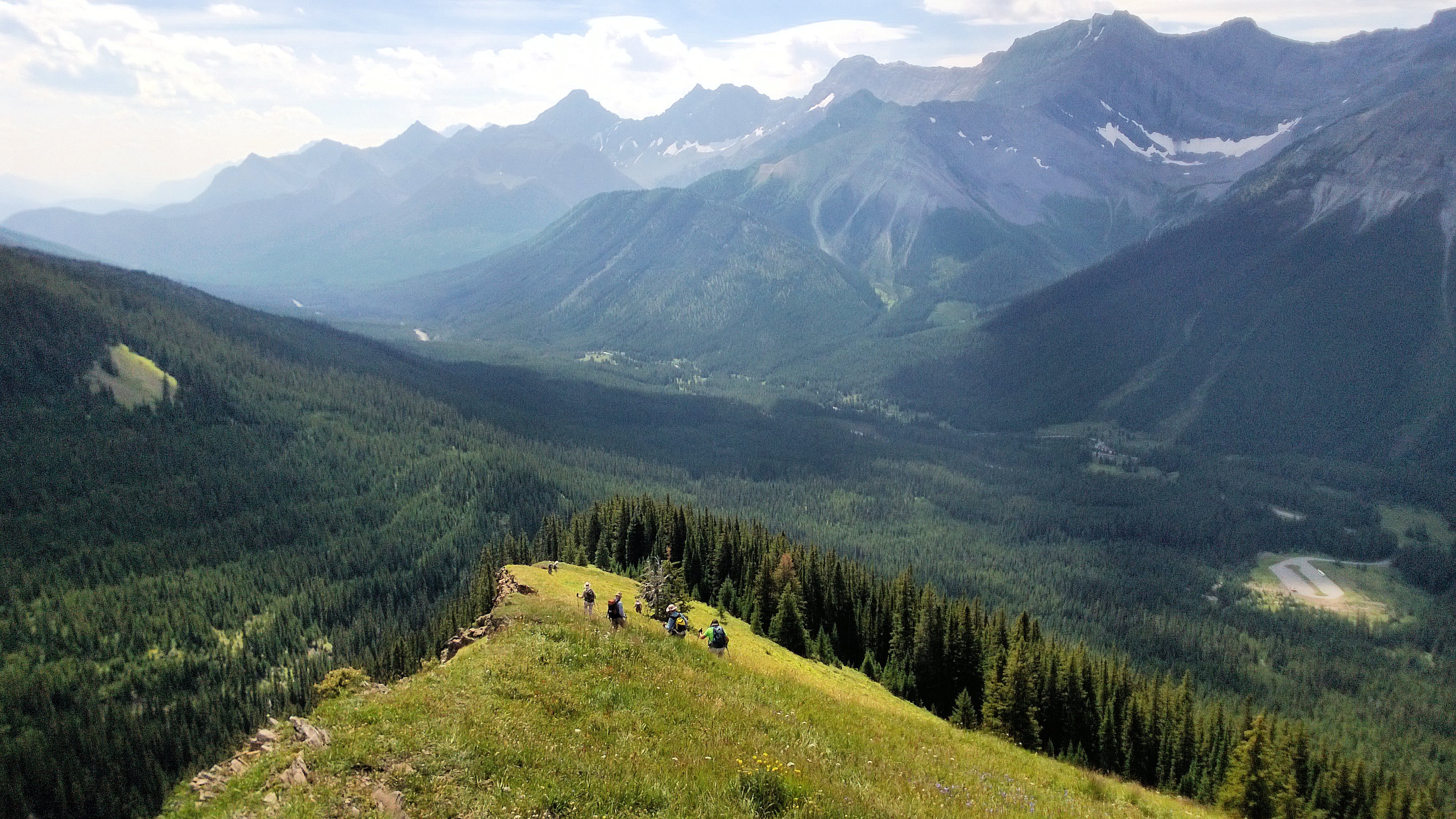
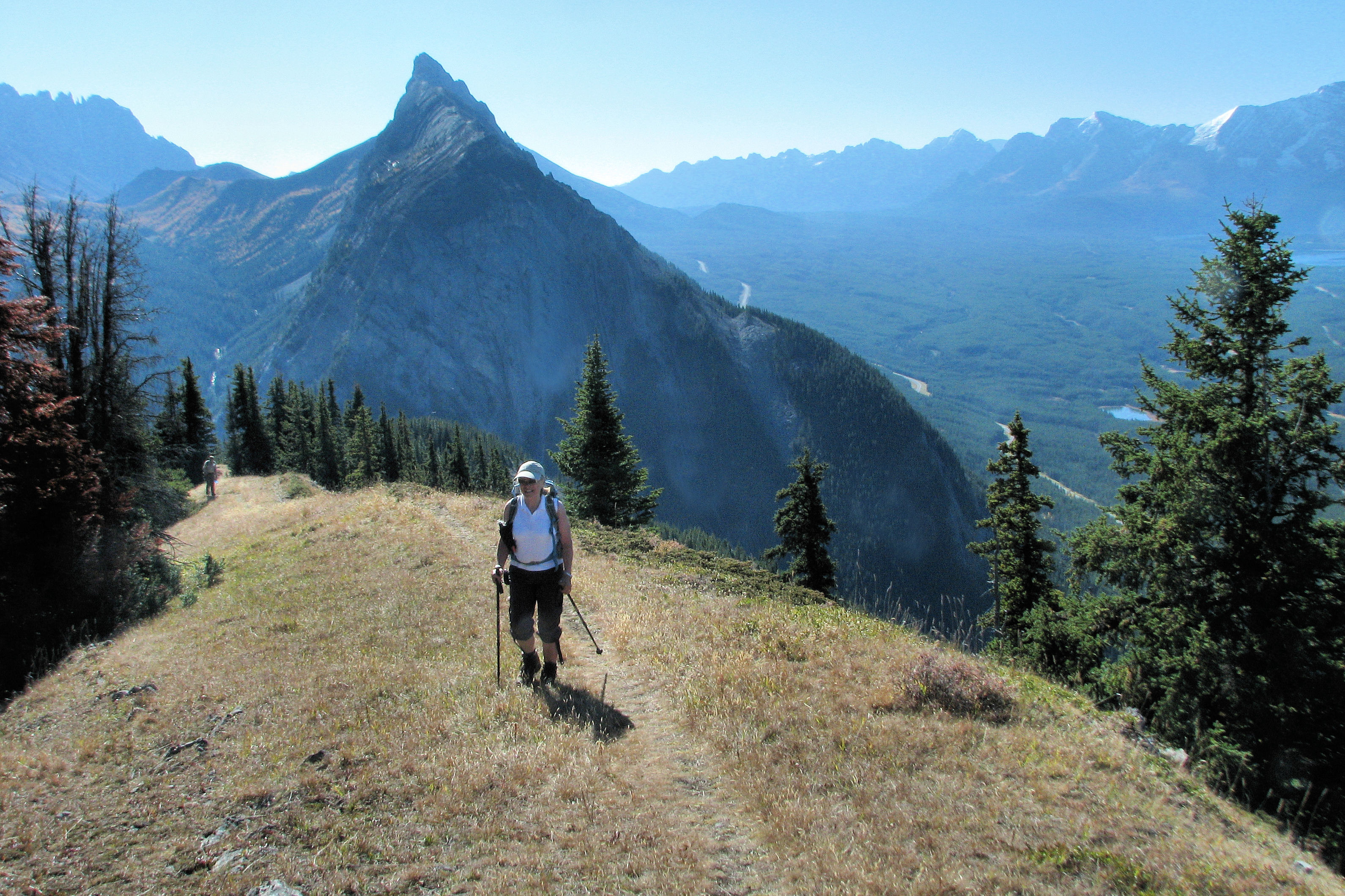
Nihahi Ridge the hike back down
Nihahi Ridge the hike back down
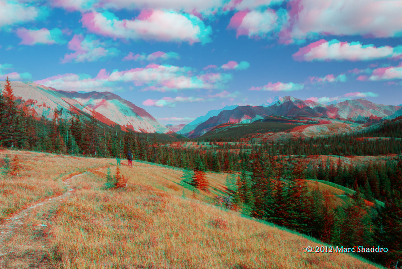
Piper Pass Lies Ahead - Kananaskis Alberta - Canadian Rockies
Nihahi Ridge the hike back down
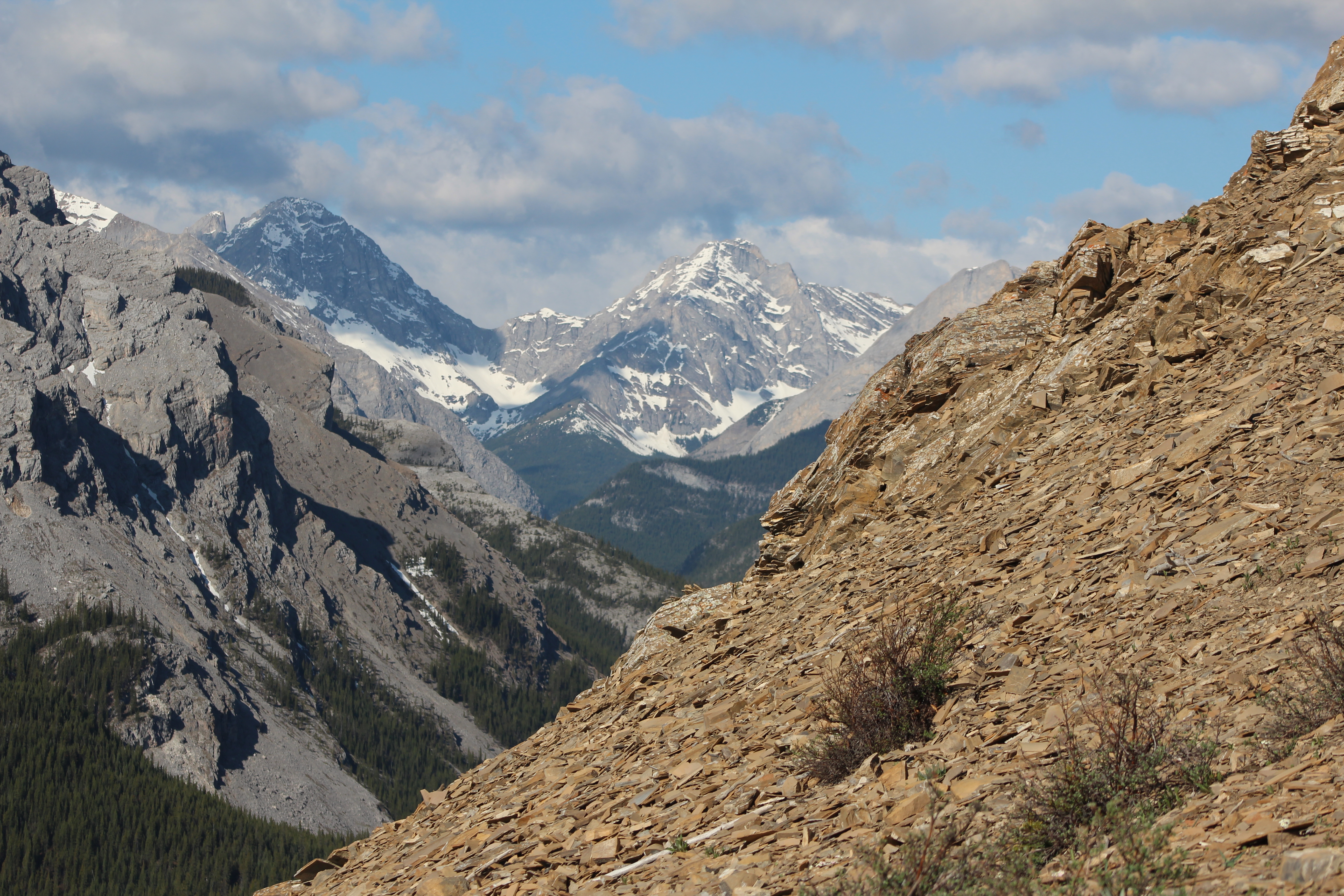
Banded Peak and Outlaw From Mt. Cornwall
Putnik Pond - Kananaskis Alberta - Canadian Rockies
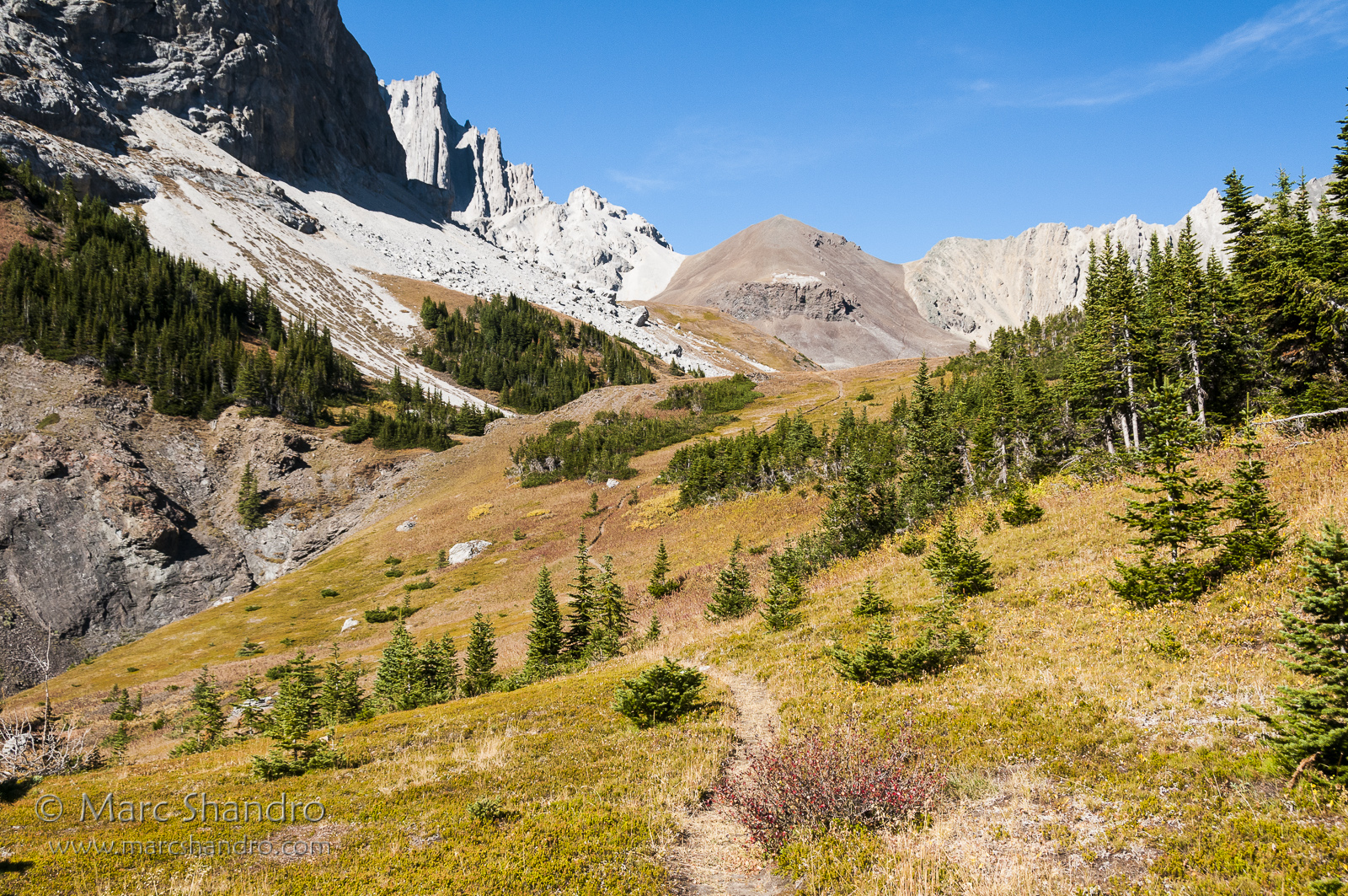
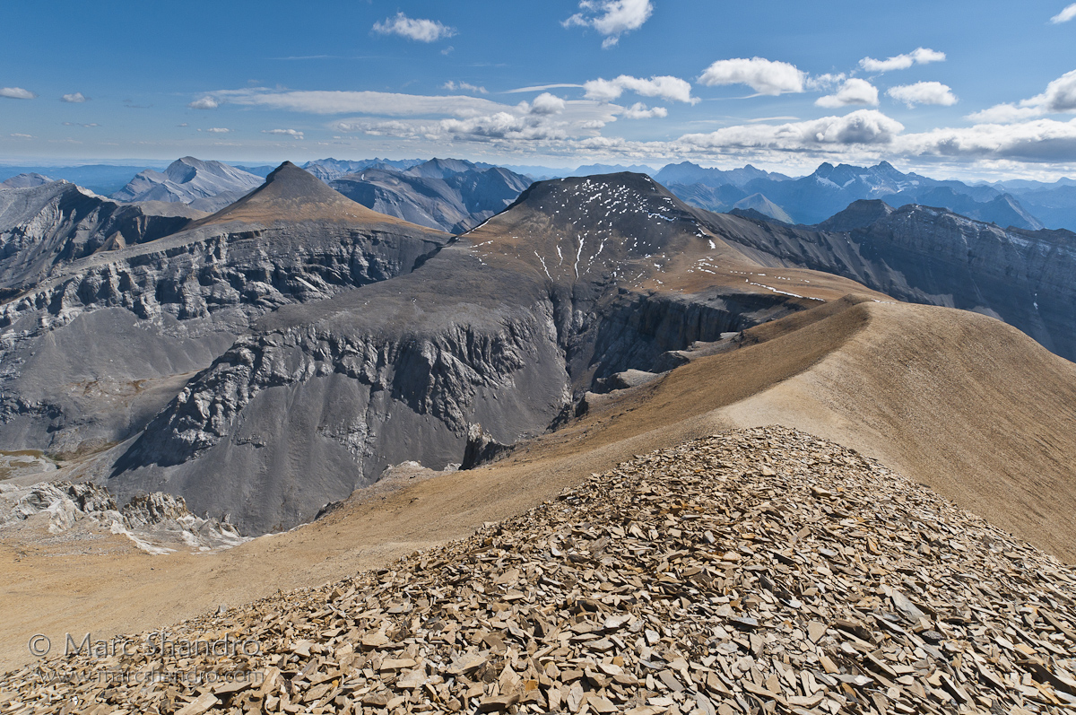
On the Outlier
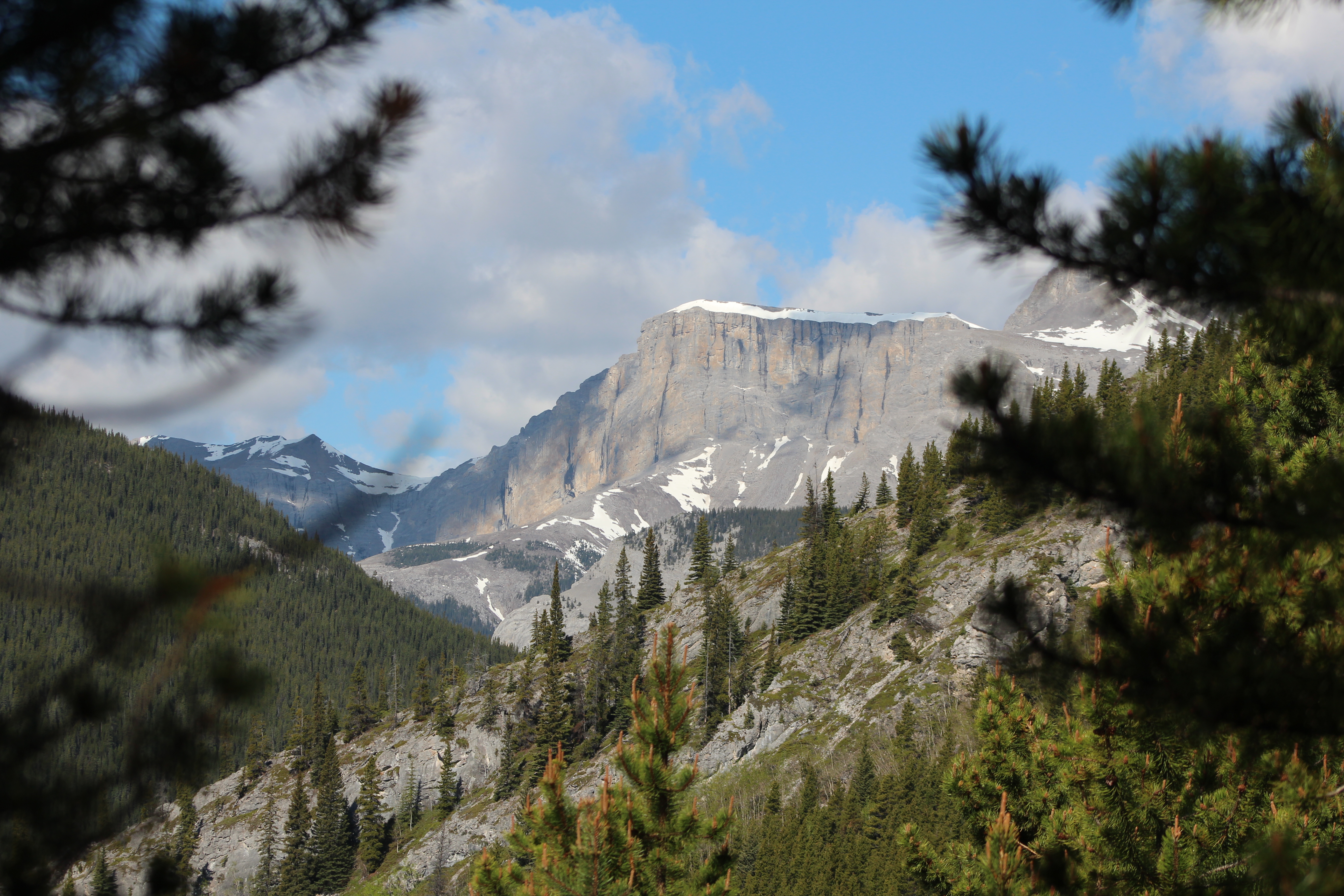
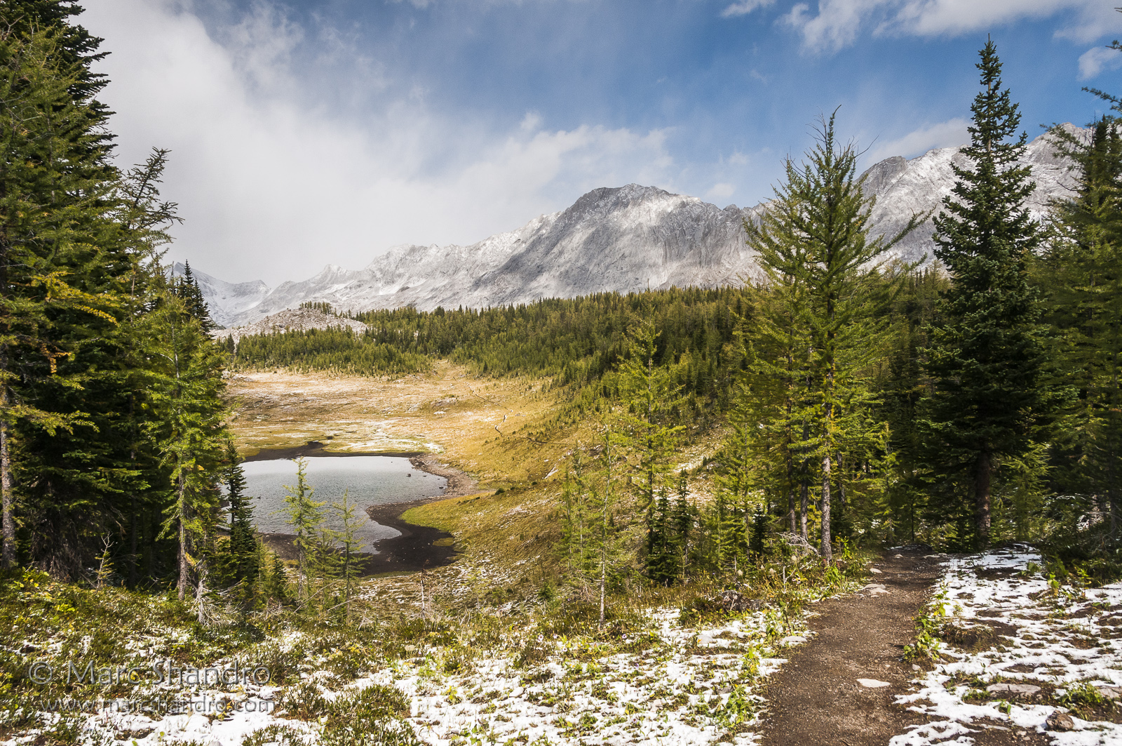
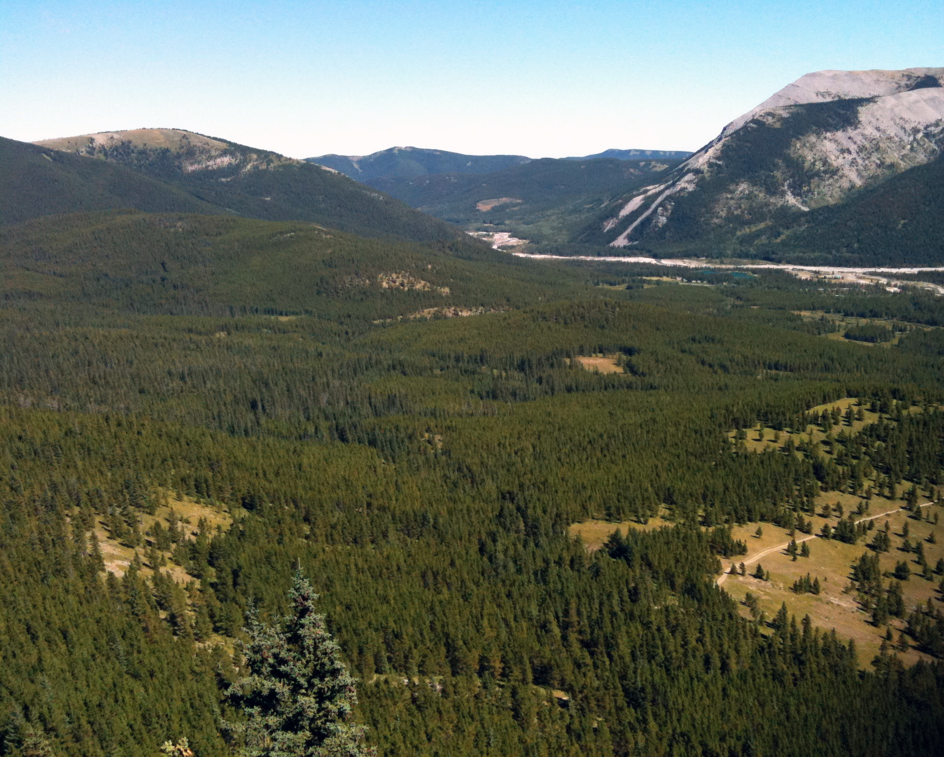
Little Elbow Valley
Spray Valley South
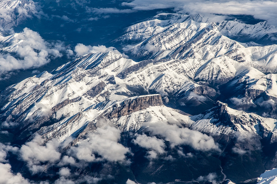
Aerial View of Mount Romulus, Alberta

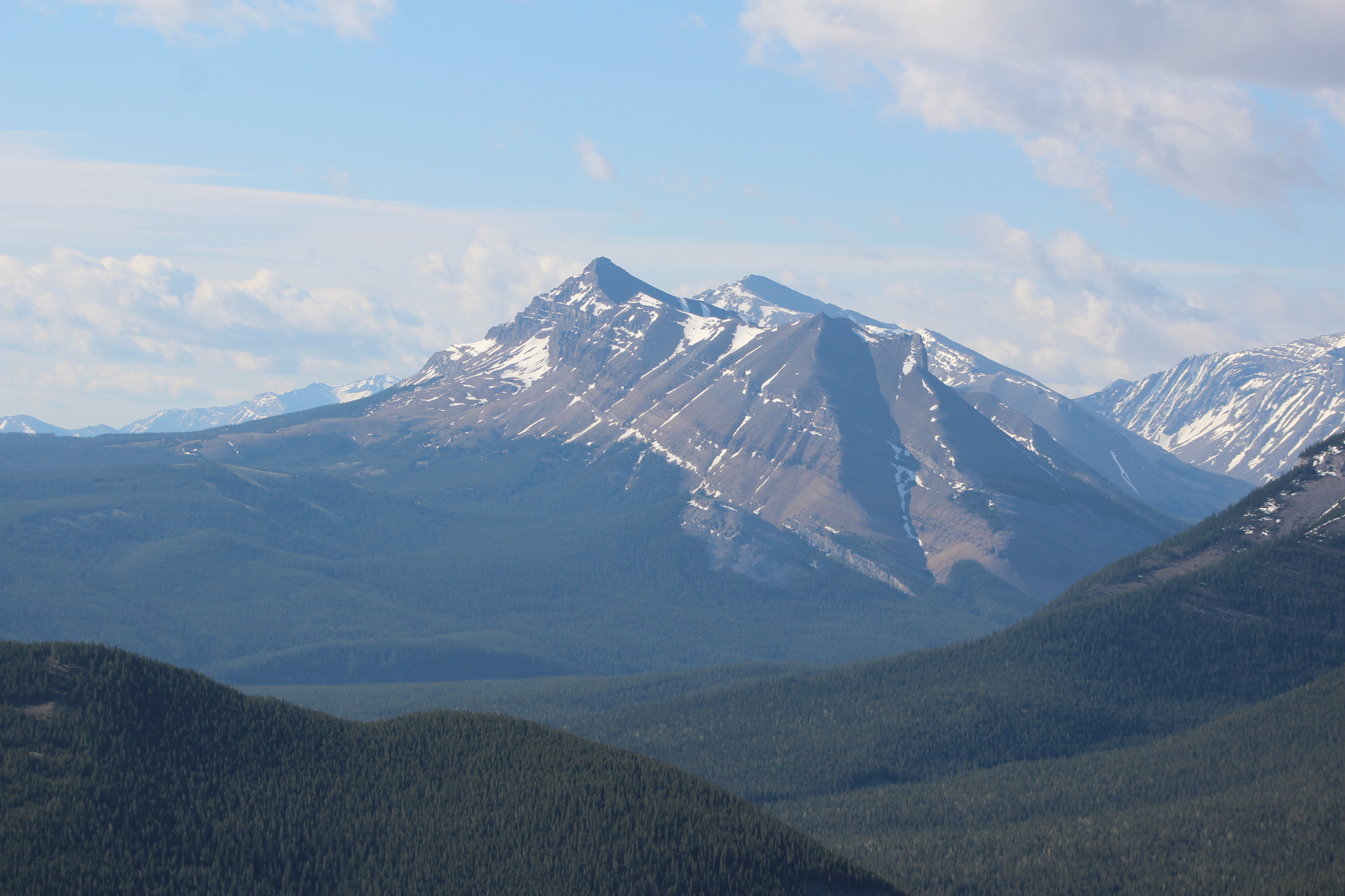
Mount James Walker
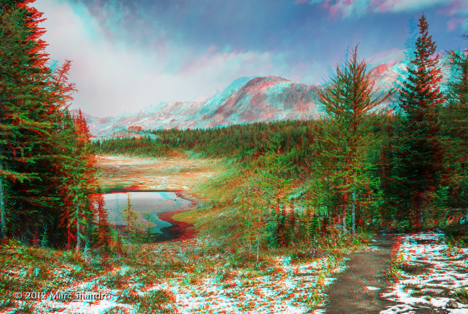
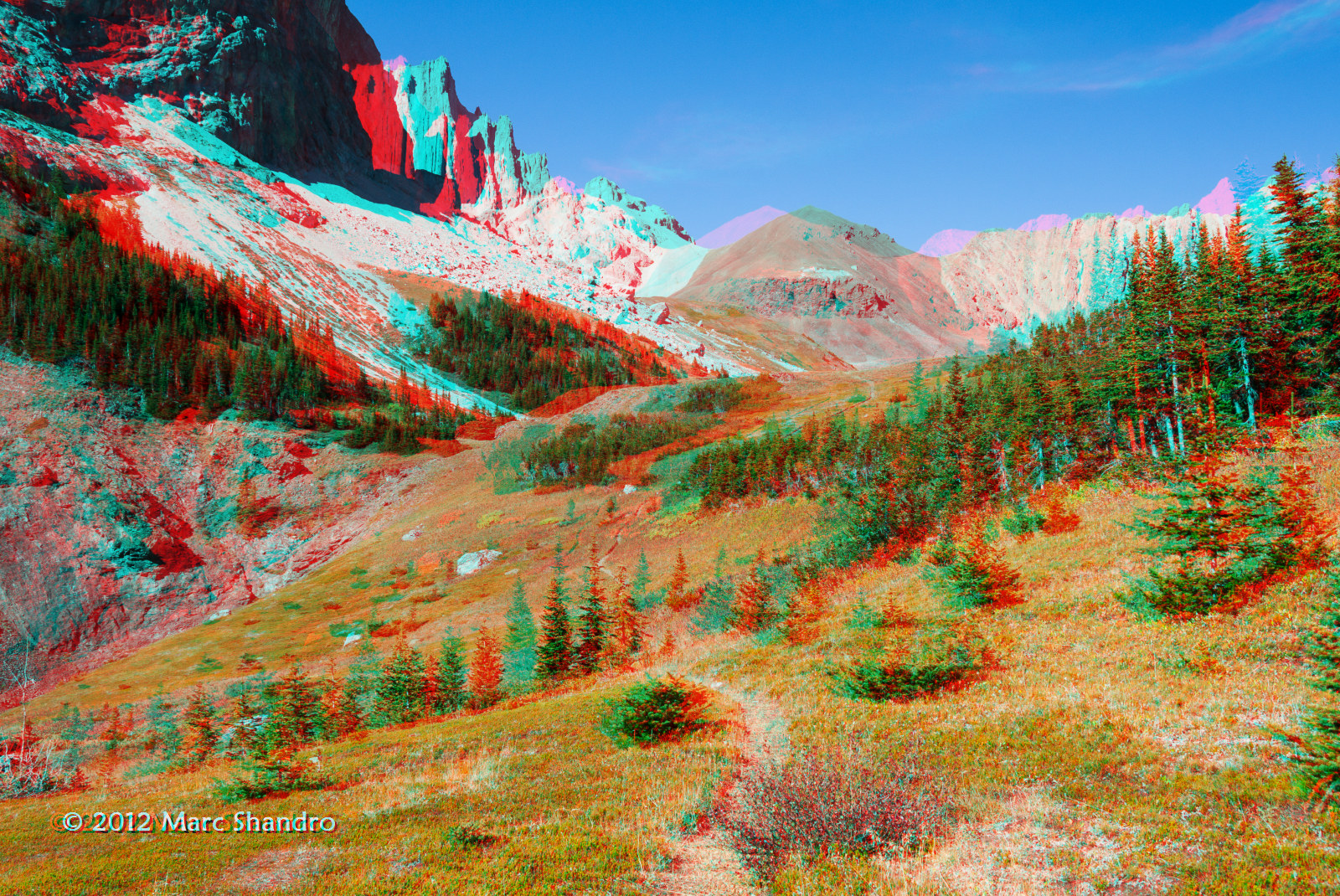
Backpacking In Kananaskis Country - Canadian Rockies - 3D
Upper Tombstone Lake - Autumn in Kananaskis Alberta - Canadian Rockies - 3D
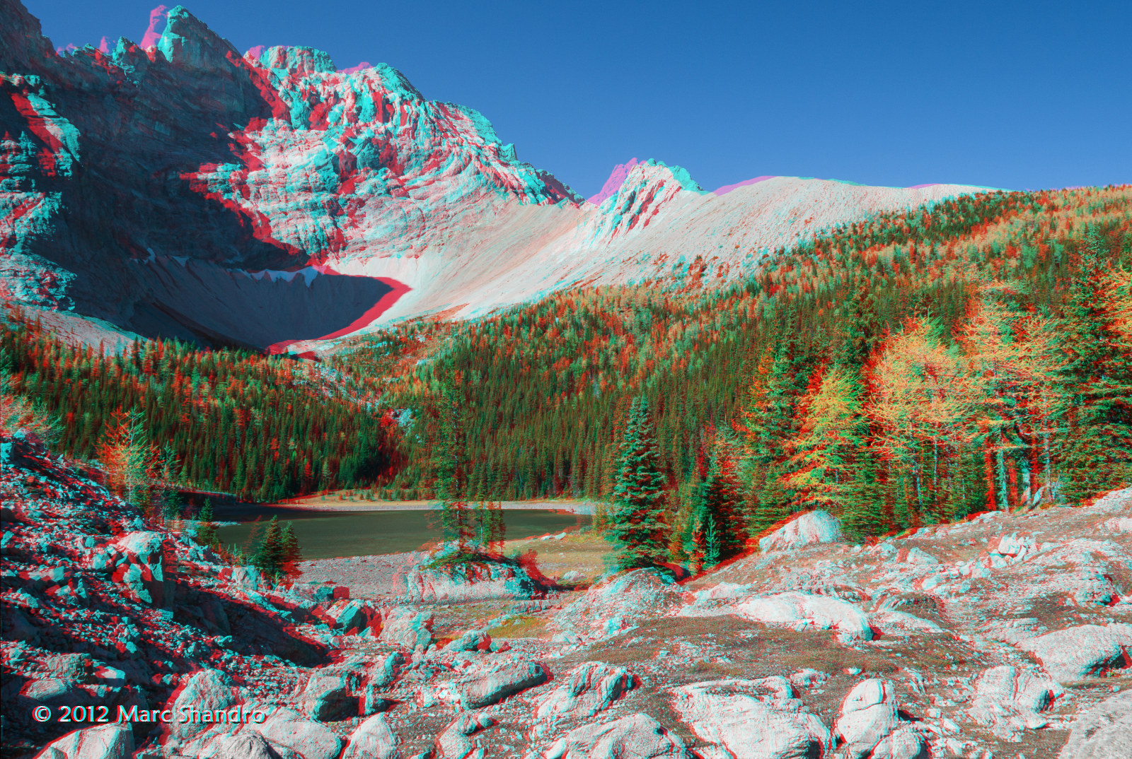
Putnik Pond - Kananaskis Alberta - Canadian Rockies - 3D
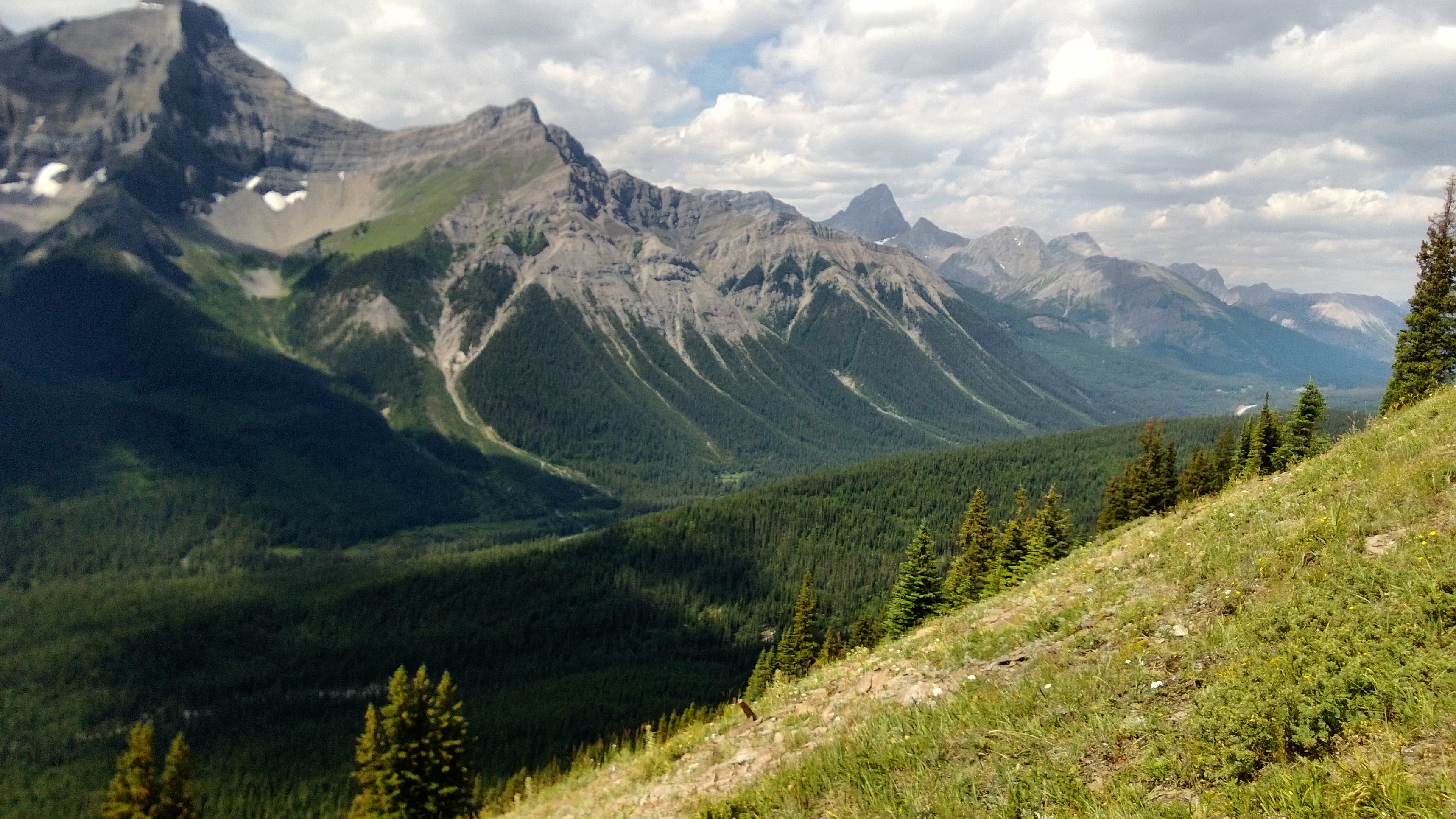
Spray Valley North

Elbow River Sparkles With Mount Rae Watching - Kananaskis Alberta - Canadian Rockies - 3D
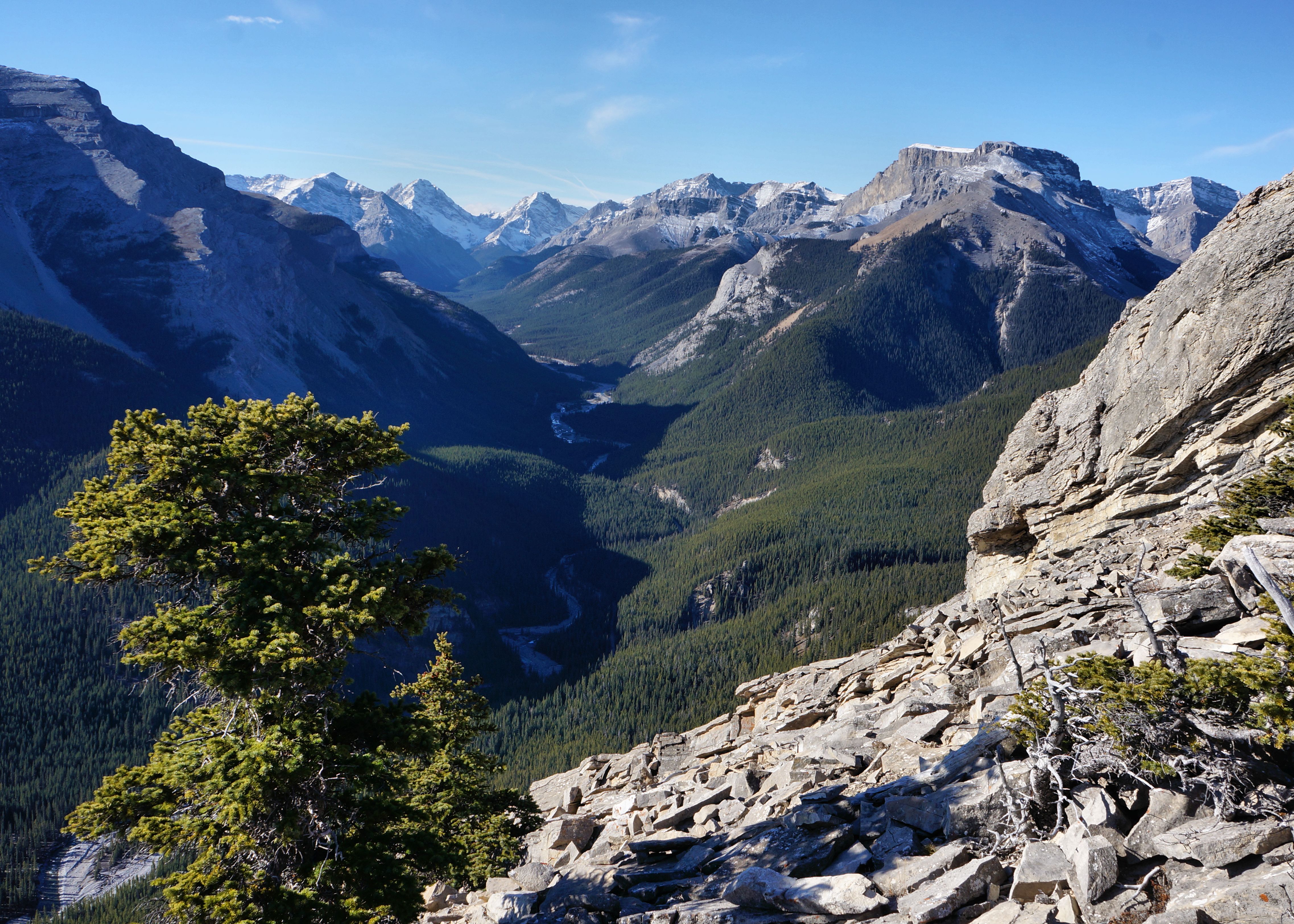
Little Elbow River Valley, Nihahi Ridge
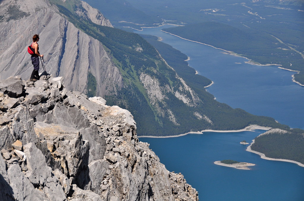
Summit of Mount Sarrail
Piper Pass Lies Ahead - Kananaskis Alberta - Canadian Rockies - 3D
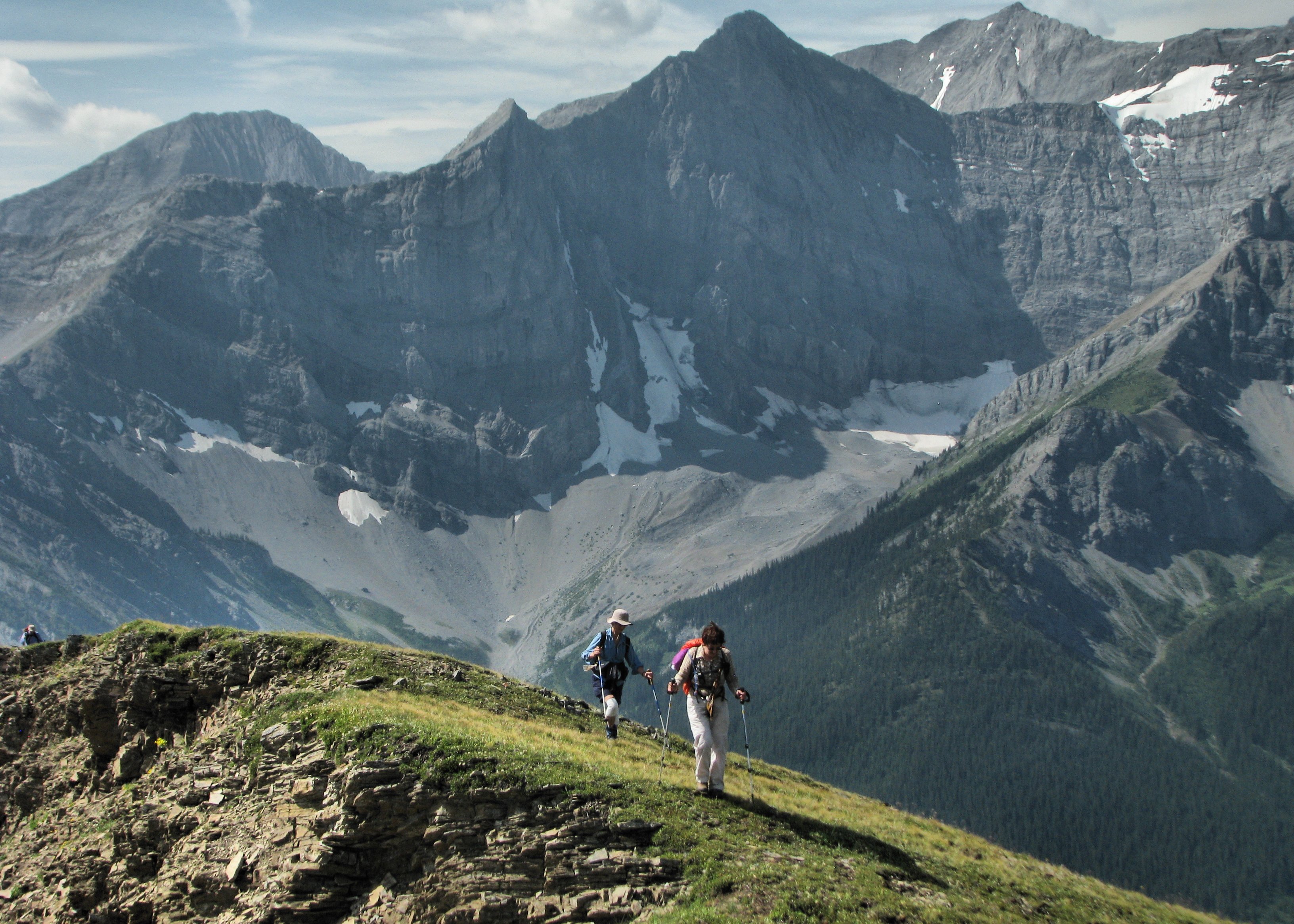
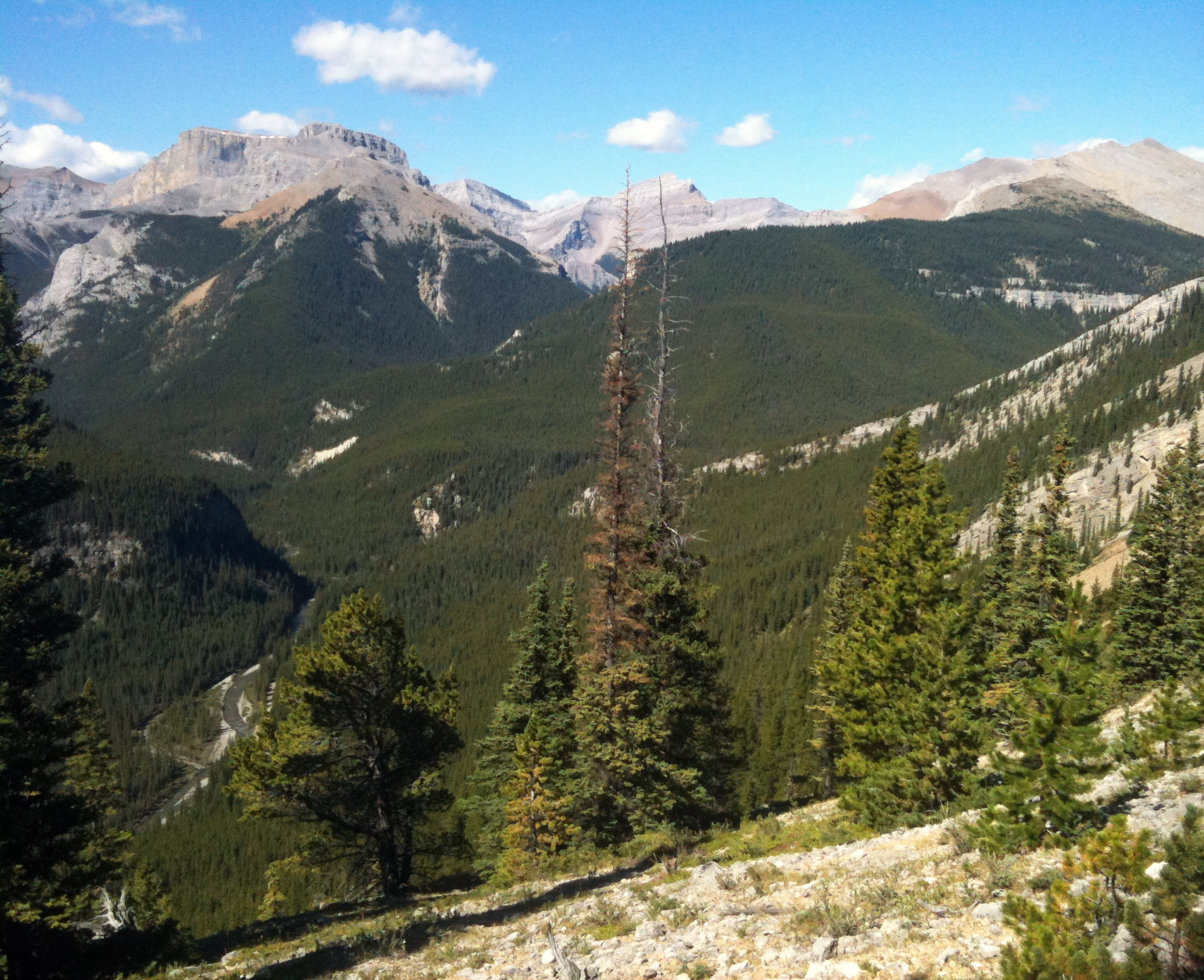
Ascending King Creek Ridge
Forgetmenot and Powderface Ridges, Kananaskis
Topographic Map of Mount Burney, Kananaskis, AB T0L, Canada
Find elevation by address:

Places near Mount Burney, Kananaskis, AB T0L, Canada:
Mount Blane
Mount Wintour
Tombstone Mountain
Mount Packenham
Peter Lougheed Provincial Park
Peak Evan-thomas E3
Gap Mountain
Elpoca Mountain
Mount Evan-thomas
Elkwood Campground
Mount Potts
Mount Denny
Mount Romulus
Kananaskis Lakes
Mount Remus
Mount Kent
Mount Lawson
Mount Inflexible
Mount Smith Dorrien
Three Isle Lake
Recent Searches:
- Elevation of Corso Fratelli Cairoli, 35, Macerata MC, Italy
- Elevation of Tallevast Rd, Sarasota, FL, USA
- Elevation of 4th St E, Sonoma, CA, USA
- Elevation of Black Hollow Rd, Pennsdale, PA, USA
- Elevation of Oakland Ave, Williamsport, PA, USA
- Elevation of Pedrógão Grande, Portugal
- Elevation of Klee Dr, Martinsburg, WV, USA
- Elevation of Via Roma, Pieranica CR, Italy
- Elevation of Tavkvetili Mountain, Georgia
- Elevation of Hartfords Bluff Cir, Mt Pleasant, SC, USA