Elevation of Moules, Fondamente, France
Location: France > Aveyron > Fondamente >
Longitude: 3.093953
Latitude: 43.8644643
Elevation: 538m / 1765feet
Barometric Pressure: 95KPa
Elevation Map:
Satellite Map:
Related Photos:
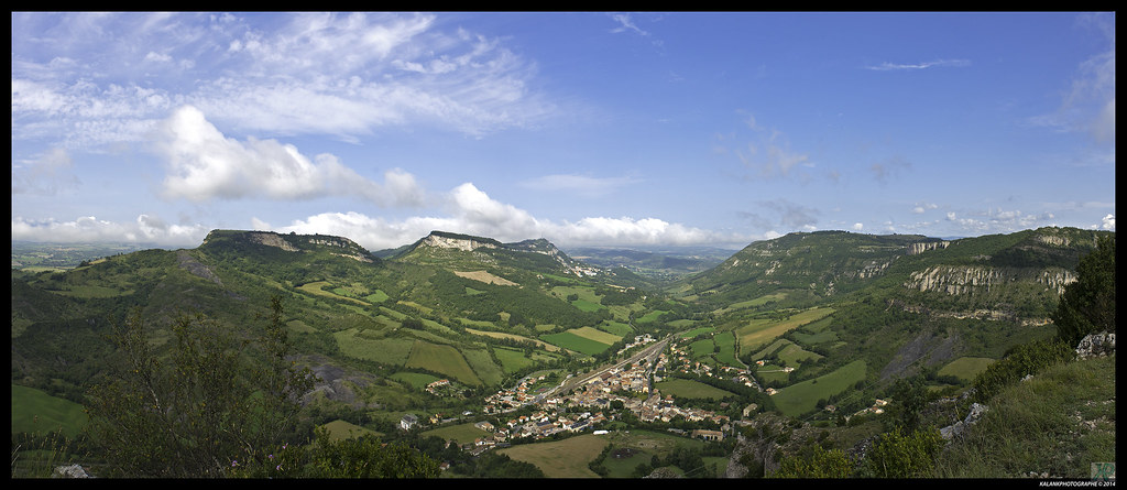
Panorama-vue sur Tournemire

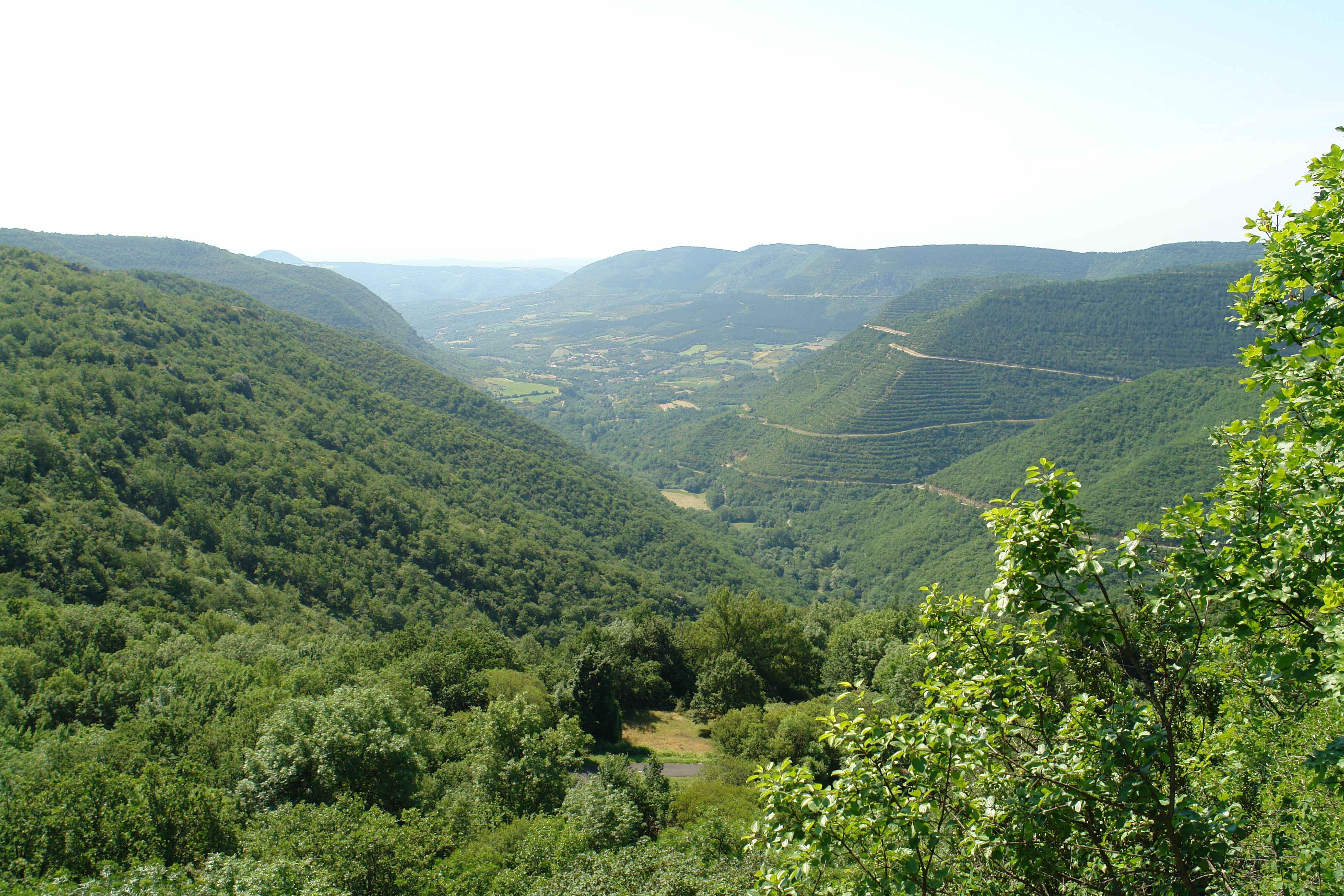
Parc Naturel des Grands Causses @ La cavalerie
DSC06206.JPG
Topographic Map of Moules, Fondamente, France
Find elevation by address:

Places near Moules, Fondamente, France:
Fondamente
Saint-félix-de-sorgues
5118a
Roquefort-sur-soulzon
3 Rue du Ségala, Roquefort-sur-Soulzon, France
Lunas
5 Prom. des Platanettes, Lunas, France
Languedoc-roussillon Midi-pyrénées
Creissels
1 Place du Prieur, Creissels, France
Saint-affrique
La Couvertoirade
La Graufesenque
Taussac-la-billière
1 La Rouquette, Saint-Affrique, France
Millau
Rue Paul Valéry
1 D13E13, Taussac-la-Billière, France
Lodève
Brenas
Recent Searches:
- Elevation of Corso Fratelli Cairoli, 35, Macerata MC, Italy
- Elevation of Tallevast Rd, Sarasota, FL, USA
- Elevation of 4th St E, Sonoma, CA, USA
- Elevation of Black Hollow Rd, Pennsdale, PA, USA
- Elevation of Oakland Ave, Williamsport, PA, USA
- Elevation of Pedrógão Grande, Portugal
- Elevation of Klee Dr, Martinsburg, WV, USA
- Elevation of Via Roma, Pieranica CR, Italy
- Elevation of Tavkvetili Mountain, Georgia
- Elevation of Hartfords Bluff Cir, Mt Pleasant, SC, USA