Elevation of Mortz Rd, Mohawk, NY, USA

Location: United States > New York > Herkimer County > German Flatts > Mohawk >

Longitude: -74.970033

Latitude: 42.9661668

Elevation: -10000m / -32808feet

Barometric Pressure: 295KPa

Elevation Map:

elevation map of Mortz Rd, Mohawk, NY, USA
Satellite Map:

Satellite map of Mortz Rd, Mohawk, NY, USA
Related Photos:

A View East on The Erie Canal
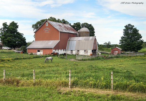
Valley View Stock Farm
A view of some of the houses and The First Assembly of God Church on East Jefferson Street in Little Falls.
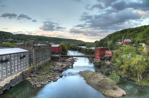
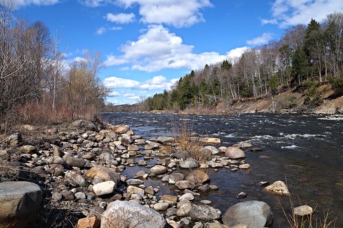
A View Along The Mohawk
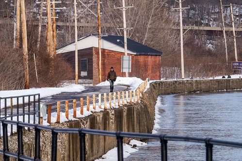
Out For A Walk
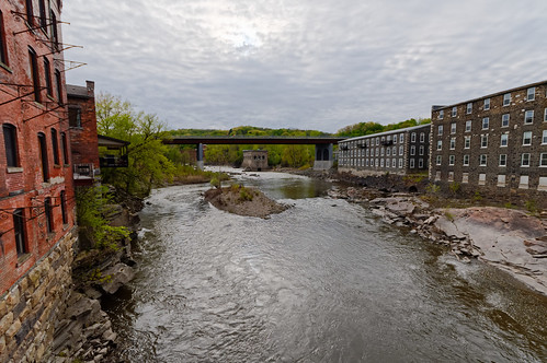
landscape cloudy clouds dramaticsky mohawkriver mohawkvalley water mill building dramatic vista texture overcast outdoor littlefalls smalltown herkimercounty centralnewyork centralleatherstockingregion newyork ultrawide wideangle pentax pentaxart kp kmount sigma1020mmf456exdclens
Mohawk River View
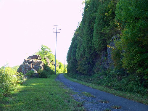
bike june ride 2011
BIKE RIDE
ny newyork history littlefalls leg colonial revolution mohawk newyorkstate revolutionarywar americanrevolution historicalsite herkimer oneida tryon newyorkhistory mohawkvalley historicsite historiclandmark herkimercounty historicallandmark mohawkriver herkimerhome generalherkimer nicholasherkimer herkimerny colonialamerica oneidas fortstanwix colonialperiod fortherkimer psalm38 tryoncounty tryoncountymilitia battleoforiskany colonialnorthamerica hanyostherkimer mohawkvalleyhistory johanjostherkimer tryoncountysafetycommittee herkimersdeath generaljohnnicholasherkimer fortdayton americanrevoltuionarywar herkimerhomeny
Garden and Vista
ny newyork history littlefalls leg colonial revolution mohawk newyorkstate revolutionarywar americanrevolution historicalsite herkimer oneida tryon newyorkhistory mohawkvalley historicsite historiclandmark herkimercounty historicallandmark mohawkriver herkimerhome generalherkimer nicholasherkimer herkimerny colonialamerica oneidas fortstanwix colonialperiod fortherkimer psalm38 tryoncounty tryoncountymilitia battleoforiskany colonialnorthamerica hanyostherkimer mohawkvalleyhistory johanjostherkimer tryoncountysafetycommittee herkimersdeath generaljohnnicholasherkimer fortdayton americanrevoltuionarywar herkimerhomeny
Homestead View
West Shore Railroad Underpass
Farmers Bridge Over The West Shore
West Shore RR, Lovers Leap, Little Falls, NY
Valley View Stock Farm
A View of Little Falls
Little Falls Harbor
Pleasant View Farm
newyork canal littlefalls upstatenewyork erie eriecanal lock17 olderiecanal historyusa lock36 locke17
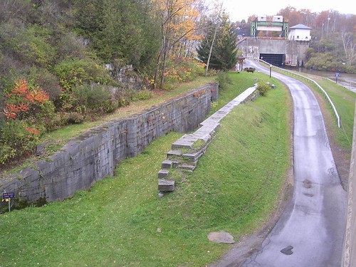
Old Erie Canal Lock 36 - Little Falls
eriecanal mohawkvalley olderiecanal plantationisland lock41 fortherkimer
Lock 41 - Plantation Island
littlefalls eriecanal lock38
Lock 38 - Little Falls
square squareformat iphoneography instagramapp uploaded:by=instagram
Side view. I took a look and saw a fairy so i will give her fairy ears.
square squareformat iphoneography instagramapp uploaded:by=instagram
Side view. Pointy nose big cheeks and mouth.
trees rain landscape edbrodzinsky sailsevenseas sailsevenseasmaster
looks like rain. . . .
Creamery Falls
A Scene On The Erie
Moss Island Beauty
Cedarville Barn
cemetery barn rural farm scenic
A Country Landscape
Two Geese - Near Goat Island
Frozen Moyer Creek
challengegamewinner
Mohawk River ~ Erie Canal
Muddy Waters
colorphotoaward
Saw Mill Falls
challengegamewinner
Sunset In The West
Chepatchet Pond
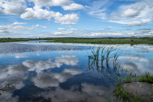
river mohawkvalley mohawkriver water reflection reflectioninwater mirrorreflection landscape smalltown rural eriecanal canal color green overcast weather outdoor littlefalls herkimercounty newyork peaceful bucolic serene pentax pentaxart sigma1750mmf28lens k70 kmount centralleatherstockingregion
Mohawk River Reflections
challengegamewinner
Clouds In The Lake
West Canada Creek
Lighting The Landscape
river oldstonemill mill repurposed mohawkvalley mohawkriver water flowingwater building newyork centralnewyork herkimercounty smalltown landscape outdoor rock pentax pentaxart kp kmount hdpentaxda1685mmlens cloud wideangle
Old Stone Mill and Mohawk River
Ice On The Erie