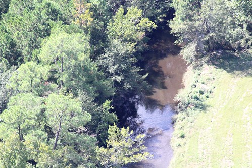
Elevation of Morris Pond Rd, Gulfport, MS, USA
Location: United States > Mississippi > Harrison County > Gulfport >
Longitude: -89.168907
Latitude: 30.524665
Elevation: 43m / 141feet
Barometric Pressure: 101KPa
Related Photos:
Topographic Map of Morris Pond Rd, Gulfport, MS, USA
Find elevation by address:

Places near Morris Pond Rd, Gulfport, MS, USA:
19523 Morris Pond Rd
19484 Morris Pond Rd
19484 Morris Pond Rd
19484 Morris Pond Rd
16282 Walker Farm Lane
16282 Walker Farm Lane
16282 Walker Farm Lane
16282 Walker Farm Lane
19420 Ms-53
20124 Stiles Rd
18955 Adams Ln
18970 Adams Ln
18081 Prairie Dr
14328 Tori Dawn Dr
18188 Tiffany Renee Dr
18200 Tiffany Renee Dr
18204 Tiffany Renee Dr
14063 Schanbacher Rd
18250 Tiffany Renee Dr
18181 Tiffany Renee Dr
Recent Searches:
- Elevation of Corso Fratelli Cairoli, 35, Macerata MC, Italy
- Elevation of Tallevast Rd, Sarasota, FL, USA
- Elevation of 4th St E, Sonoma, CA, USA
- Elevation of Black Hollow Rd, Pennsdale, PA, USA
- Elevation of Oakland Ave, Williamsport, PA, USA
- Elevation of Pedrógão Grande, Portugal
- Elevation of Klee Dr, Martinsburg, WV, USA
- Elevation of Via Roma, Pieranica CR, Italy
- Elevation of Tavkvetili Mountain, Georgia
- Elevation of Hartfords Bluff Cir, Mt Pleasant, SC, USA


