Elevation of Morni, Maharashtra, India
Location: India > Maharashtra > Satara >
Longitude: 73.643687
Latitude: 17.7283315
Elevation: 671m / 2201feet
Barometric Pressure: 94KPa
Elevation Map:
Satellite Map:
Related Photos:

... viewing Babu Kada from Vasota fort

... view from Vasota fort

... viewing from Nageshwar Point of Vasota fort

... view from Vasota fort

... viewing from Nageshwar Point of Vasota fort

... view from Vasota fort

... view from Vasota fort

Vasota ... from Koyna Backwaters

Raghuveer Ghat

... Koyna Backwaters

... a cistern at Vasota fort
... Vasota fort

... Vasota fort

... Vasota fort

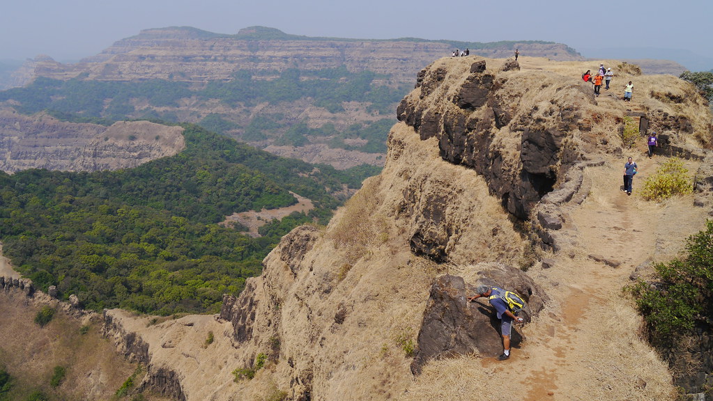
Near Mahabaleshwar
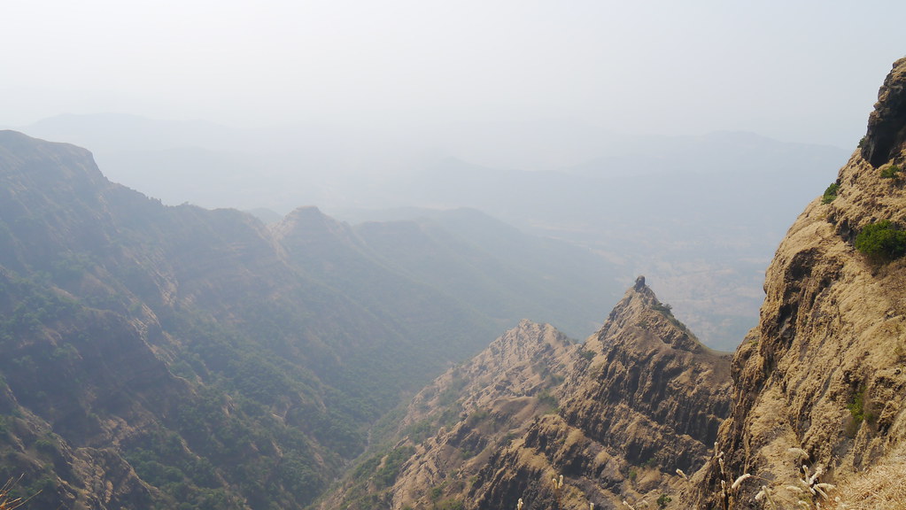
... sharp ridge

... Koyna Backwaters at Bamnoli

Near Mahabaleshwar

... Koyna Backwaters at Bamnoli

... Koyna Backwaters at Bamnoli

... Koyna Backwaters
Topographic Map of Morni, Maharashtra, India
Find elevation by address:

Places near Morni, Maharashtra, India:
Mahalunge
Aarav
Ravandi
Parwat T. Wagawale
Met Shindi
Nivali
Madoshi
Kusapur
Maldev
Shembadi School
Waghali
Kusawade
Sawari
Munawale
Phalani
Manti
Vasota
Kas
Katrewadi
Kelavali
Recent Searches:
- Elevation of Corso Fratelli Cairoli, 35, Macerata MC, Italy
- Elevation of Tallevast Rd, Sarasota, FL, USA
- Elevation of 4th St E, Sonoma, CA, USA
- Elevation of Black Hollow Rd, Pennsdale, PA, USA
- Elevation of Oakland Ave, Williamsport, PA, USA
- Elevation of Pedrógão Grande, Portugal
- Elevation of Klee Dr, Martinsburg, WV, USA
- Elevation of Via Roma, Pieranica CR, Italy
- Elevation of Tavkvetili Mountain, Georgia
- Elevation of Hartfords Bluff Cir, Mt Pleasant, SC, USA