Elevation of Morganton Hwy, Suches, GA, USA
Location: United States > Georgia > Fannin County >
Longitude: -84.145910
Latitude: 34.7548987
Elevation: 611m / 2005feet
Barometric Pressure: 94KPa
Elevation Map:
Satellite Map:
Related Photos:

Rear-view dirt road

My 63.5 Ford Falcon Sprint with the silos
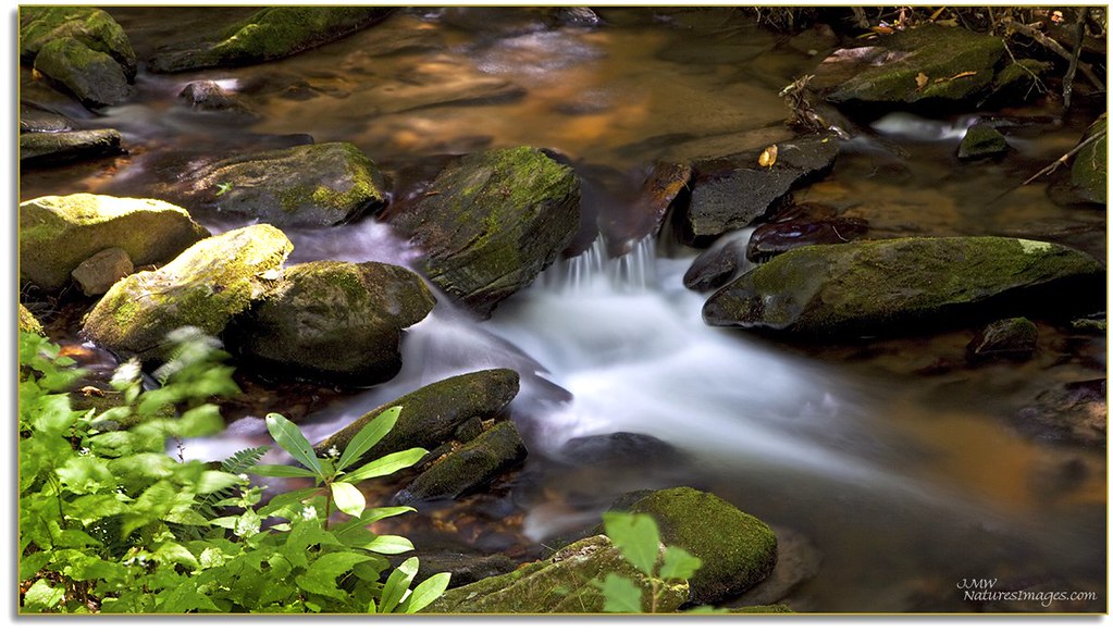
Cooper Creek , GA

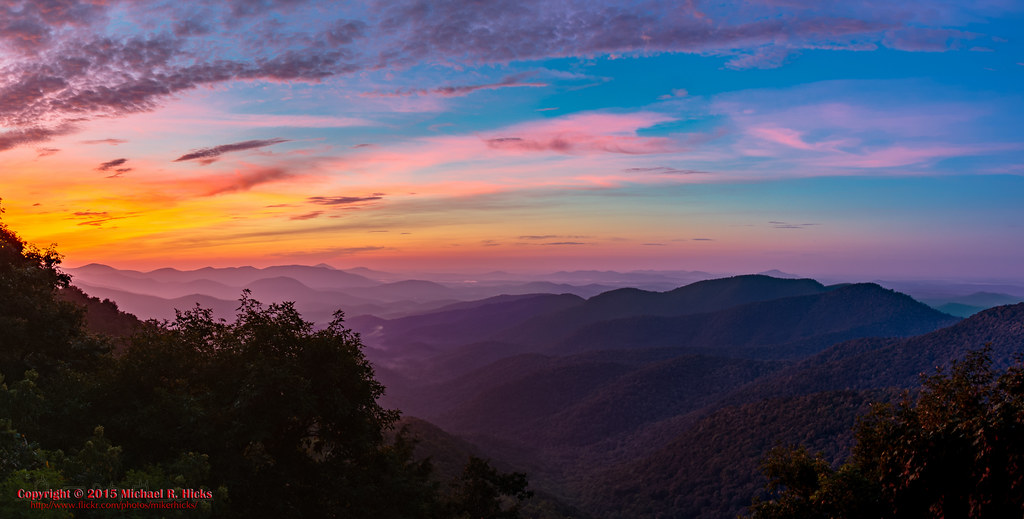
Georgia sunset ...
View from the office tonight.

View From South Brawley Ridge
View From NW Side of Weeks Mtn
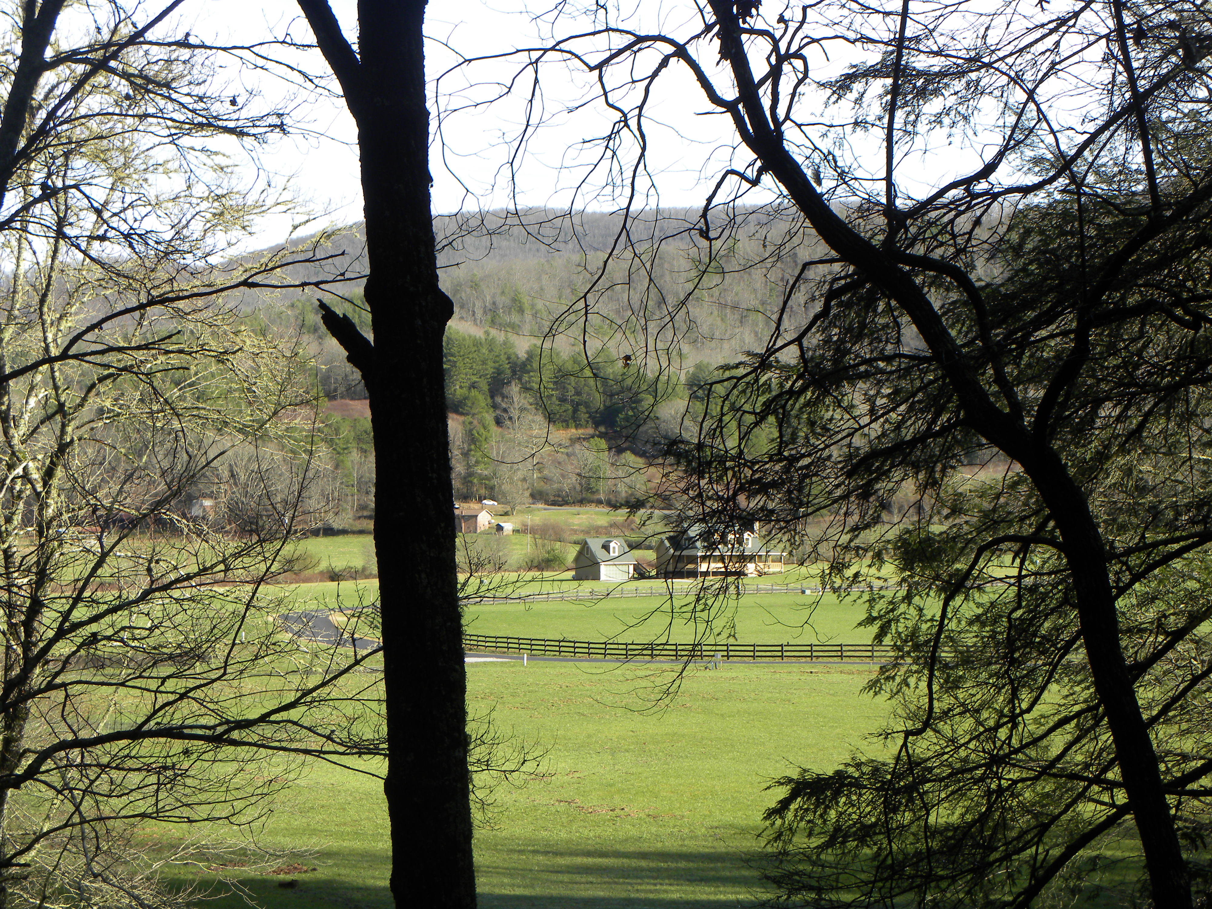
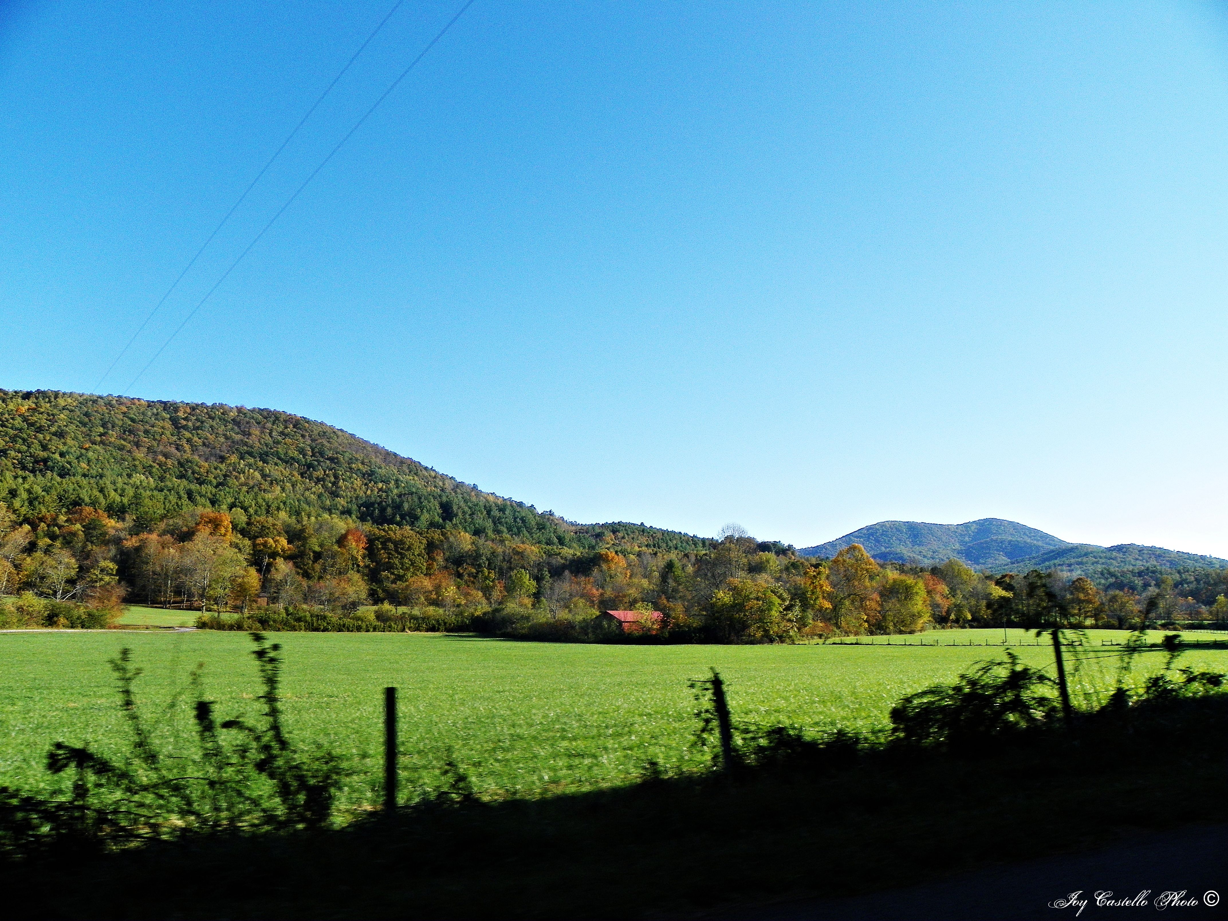
Cul-de-sac View of Mountains in Fannin County, Georgia
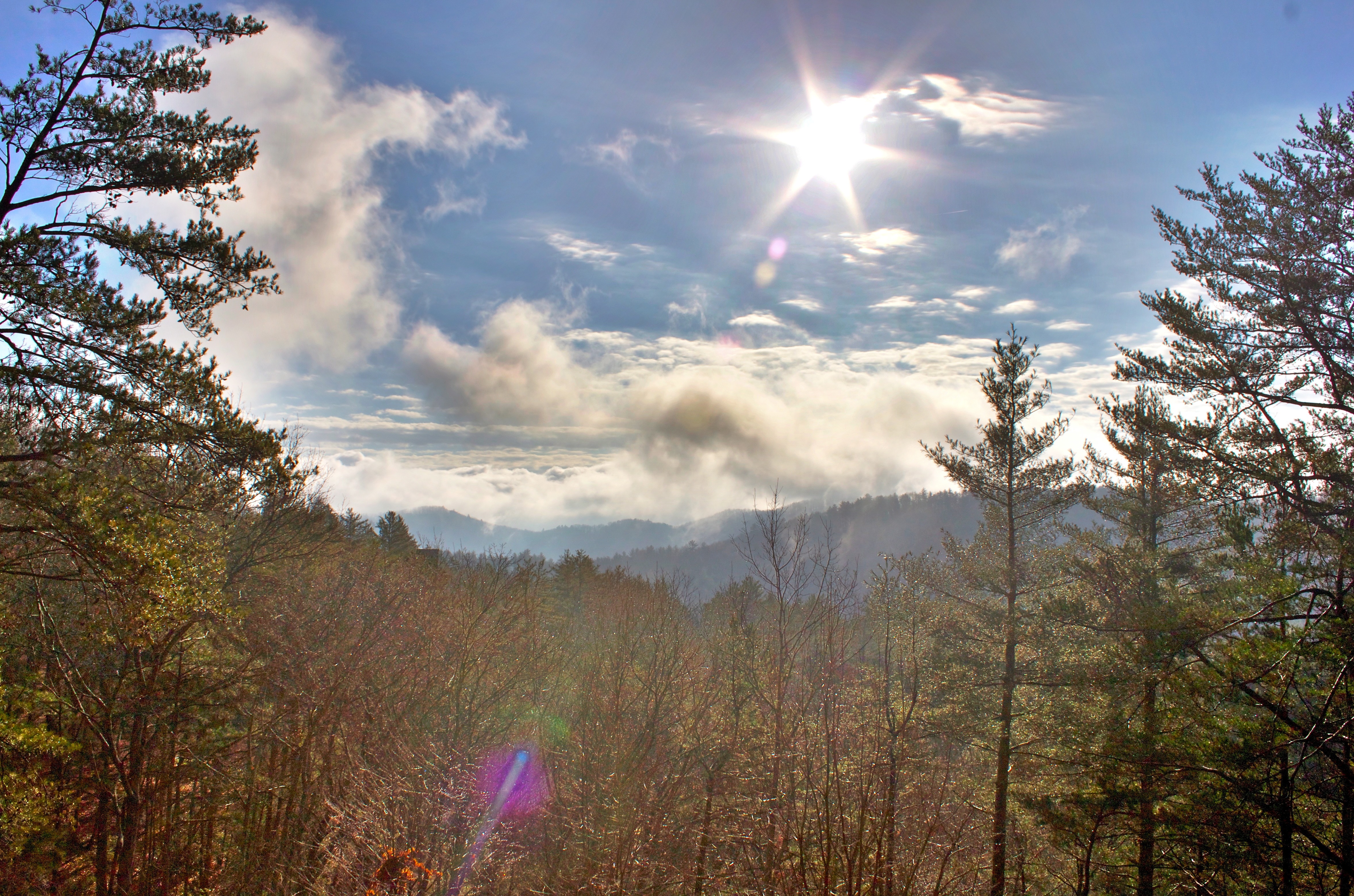
Morning Fog
Big John Dick Mountain
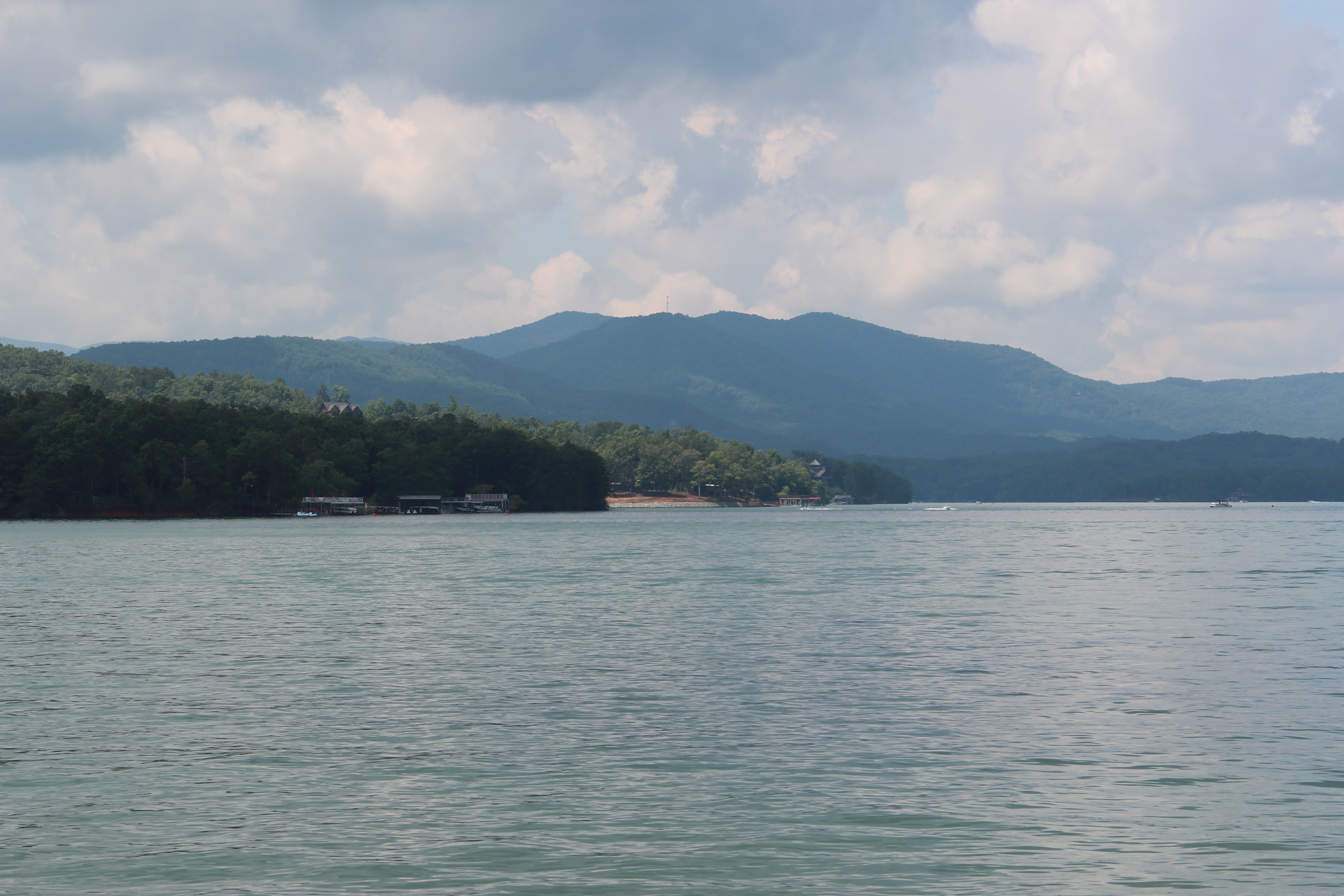
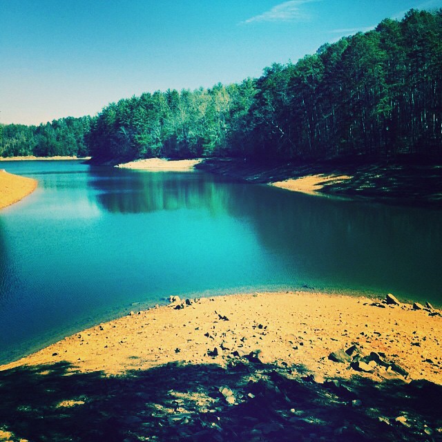
Lake Blue Ridge
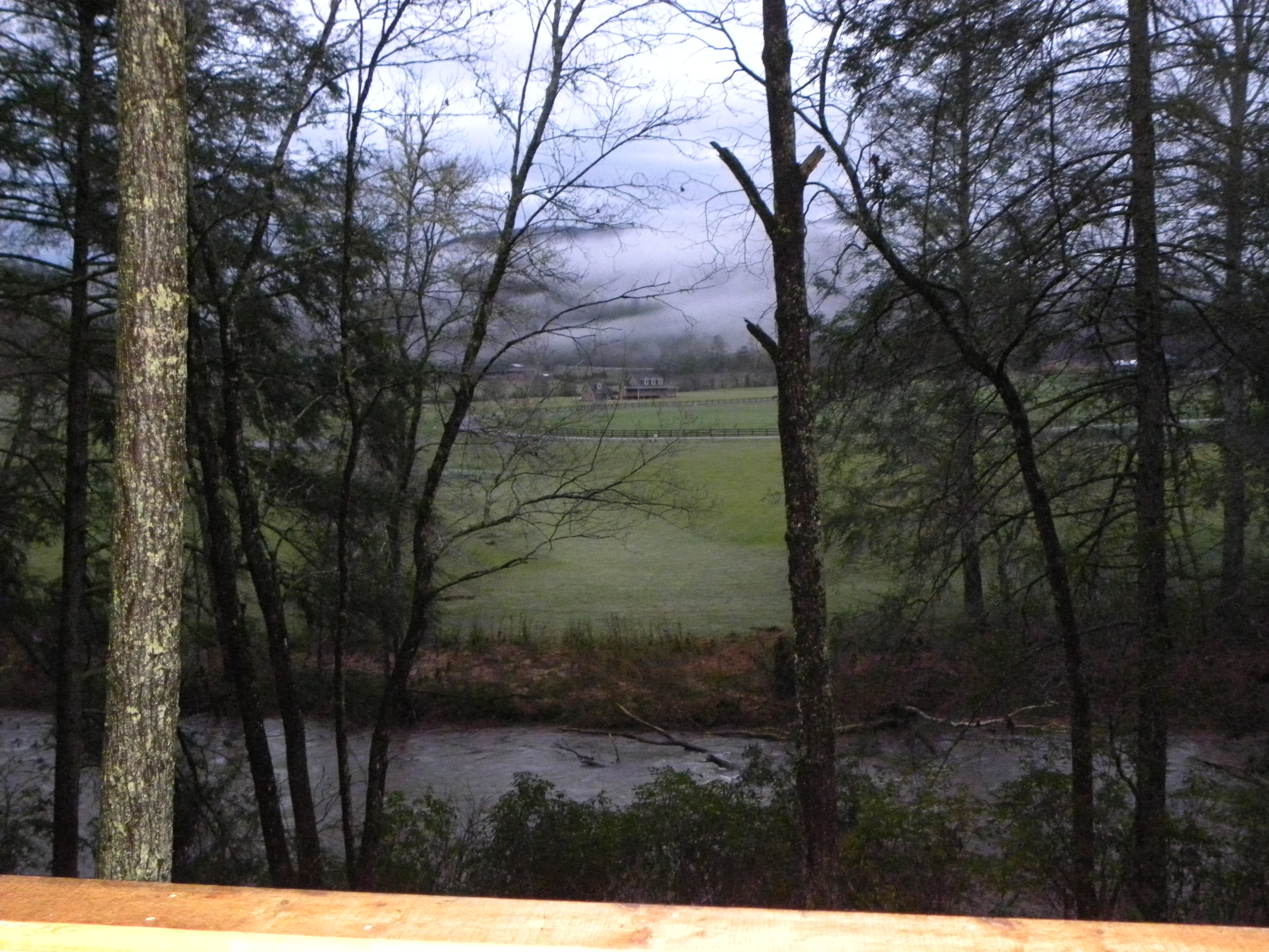
View from Back Porch
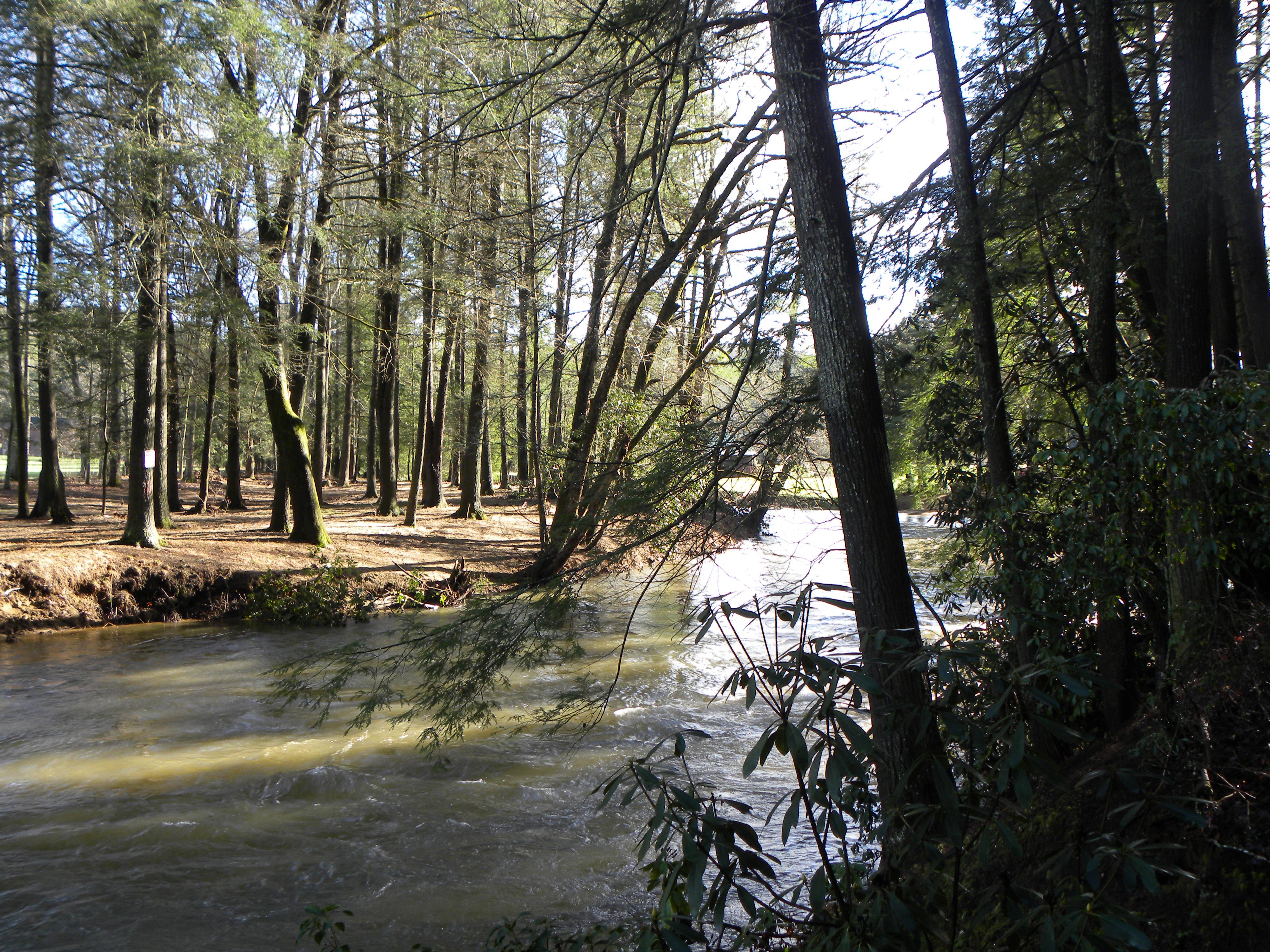
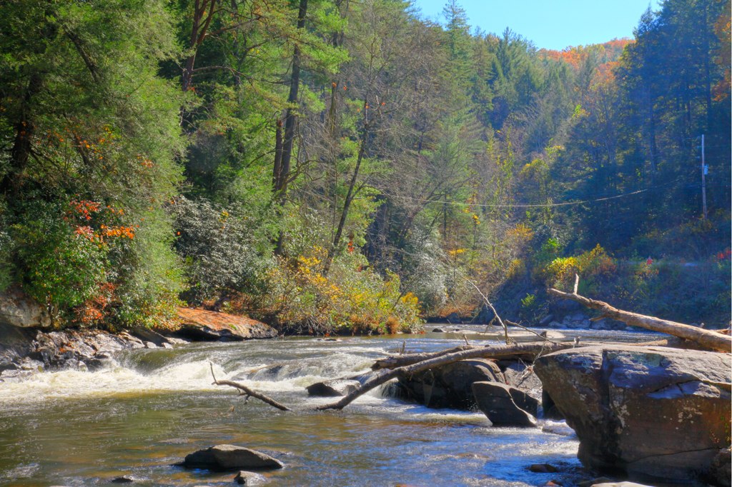
River View
Big Bald Mountain

Big Bald Mountain (left) and Horsepen Mountain (right)

View of the river from the bridge
mountain view1 (hdr)

Fire Tower, Black Mountain, Suches

Woody Gap View
View from Gazebo-Suches Georgia

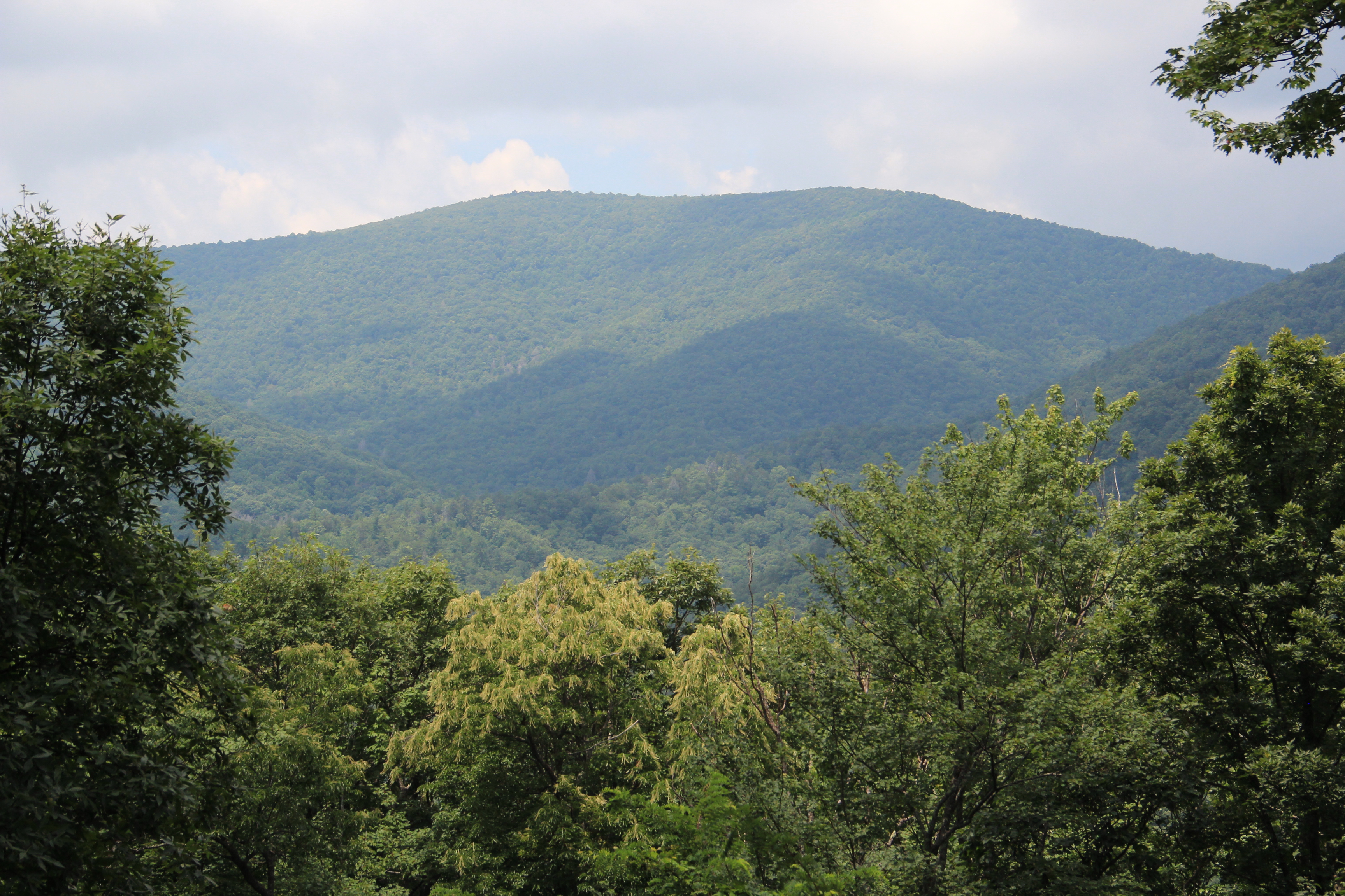
Georgia mountains

Sea Creek Falls-Toby Gant-2014
Sunrise on the Appalacian Trail - Near Woody Gap, GA
Trees in Blue Ridge 5

Camera Roll-301
Deadennen Mtn

IMG_9726.JPG

IMG_9729.JPG
IMG_9743.JPG
IMG_9736.JPG
Camera Roll-335
Camera Roll-336

IMG_9739.JPG
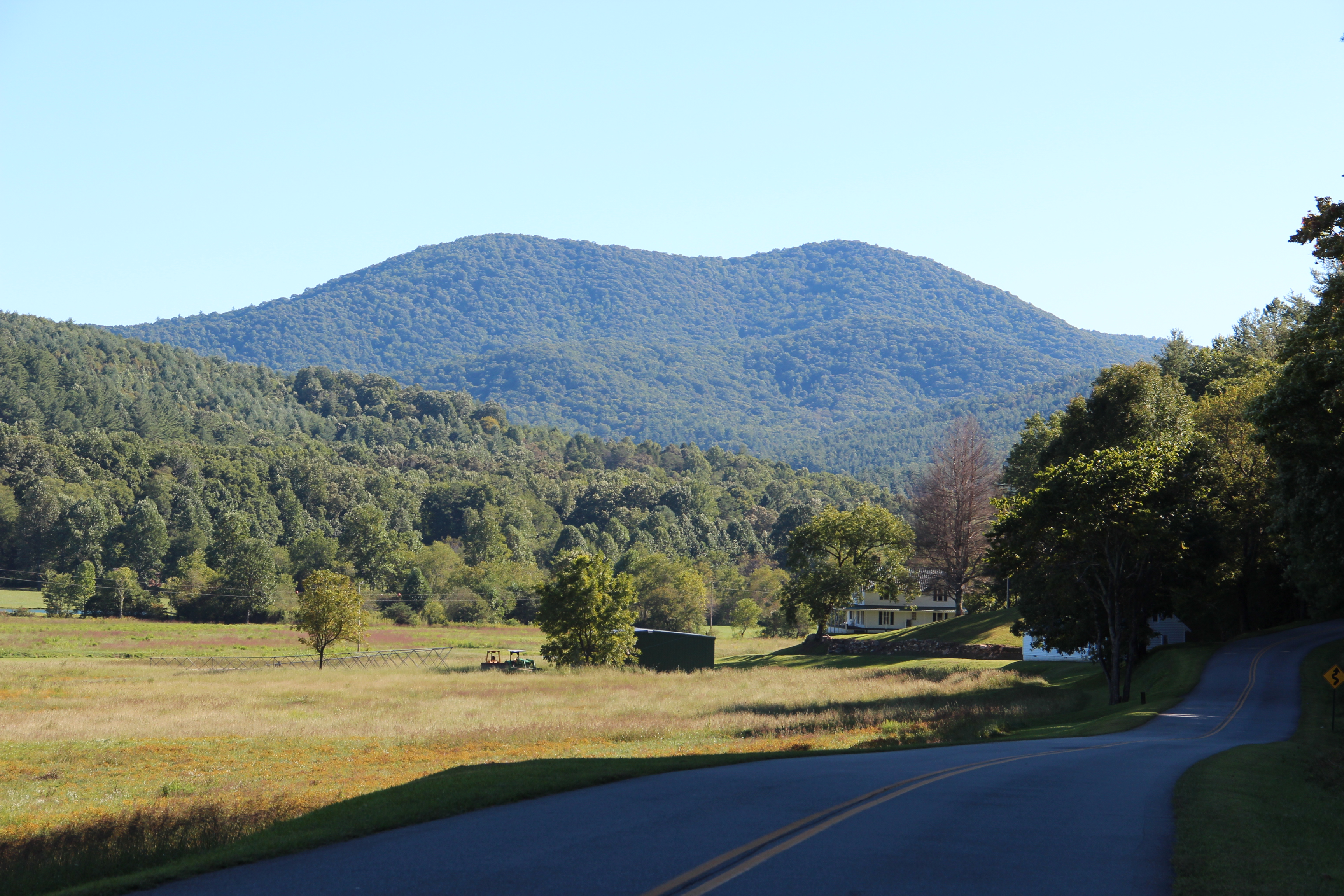
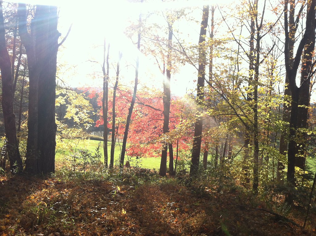
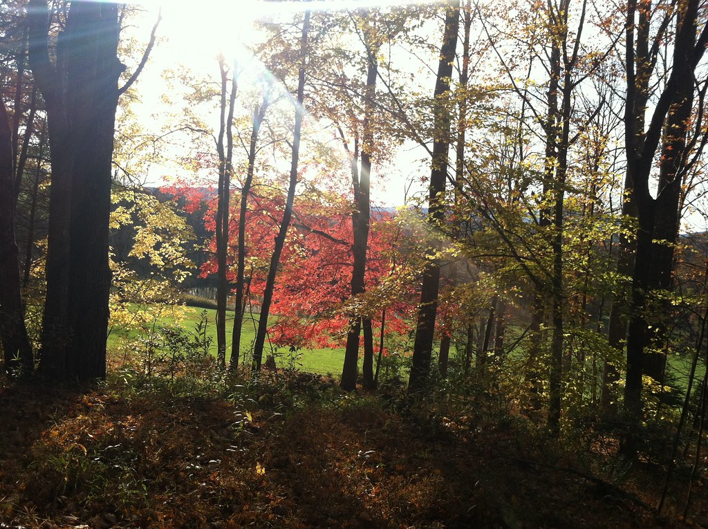
Mountains in the Fall in Fannin County, Georgia

Slaughter Gap
Truckie River Georgia 3

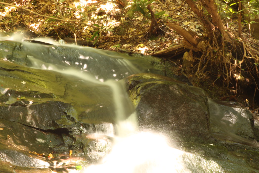
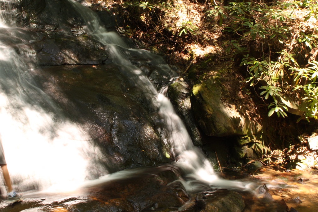
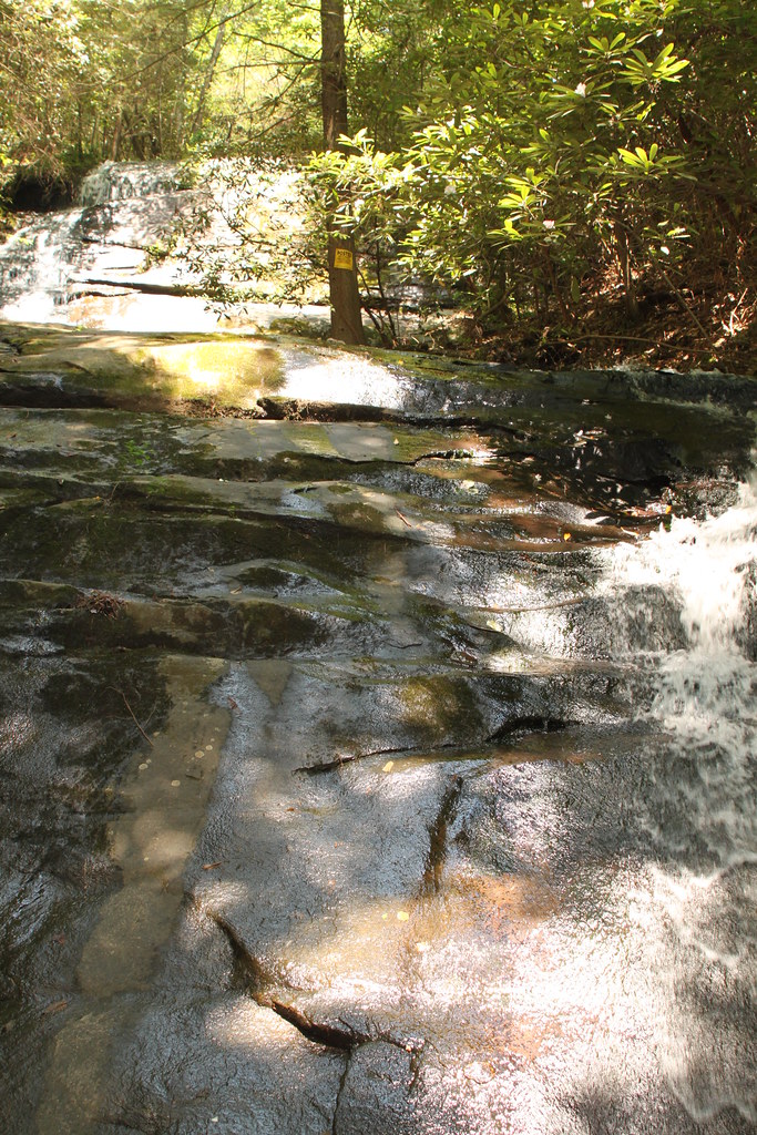
Falls Branch Falls (Gilmer county, GA)
IMG_9740.JPG
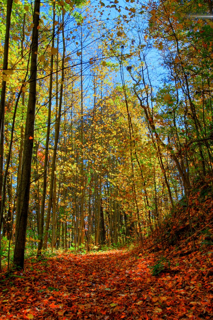
Mountains & Fall Colors in Fannin County, Georgia
IMG_9725.JPG
Great day for hiking but the lake is pretty far down.
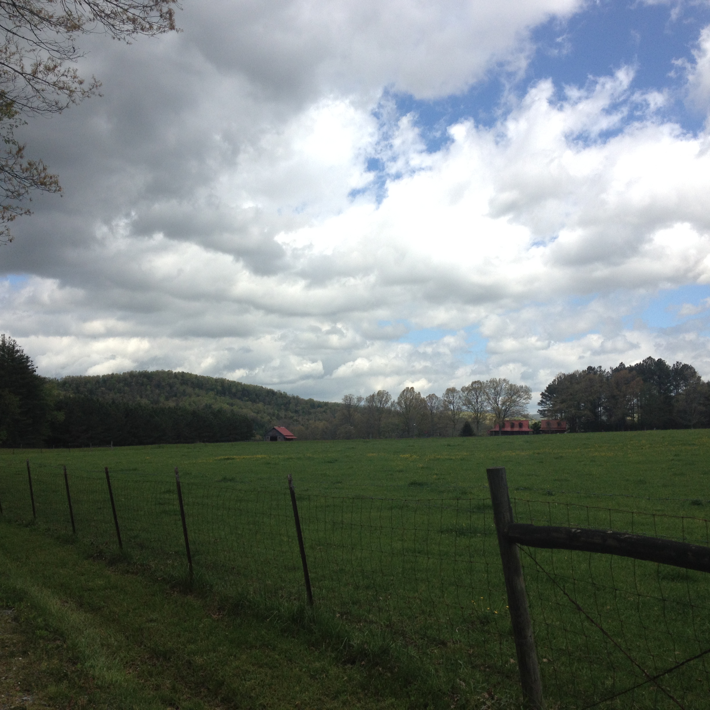
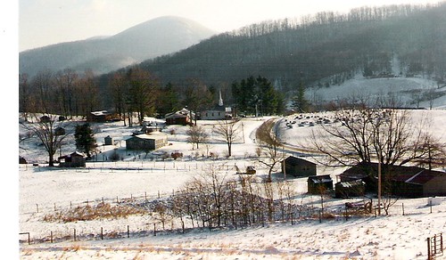
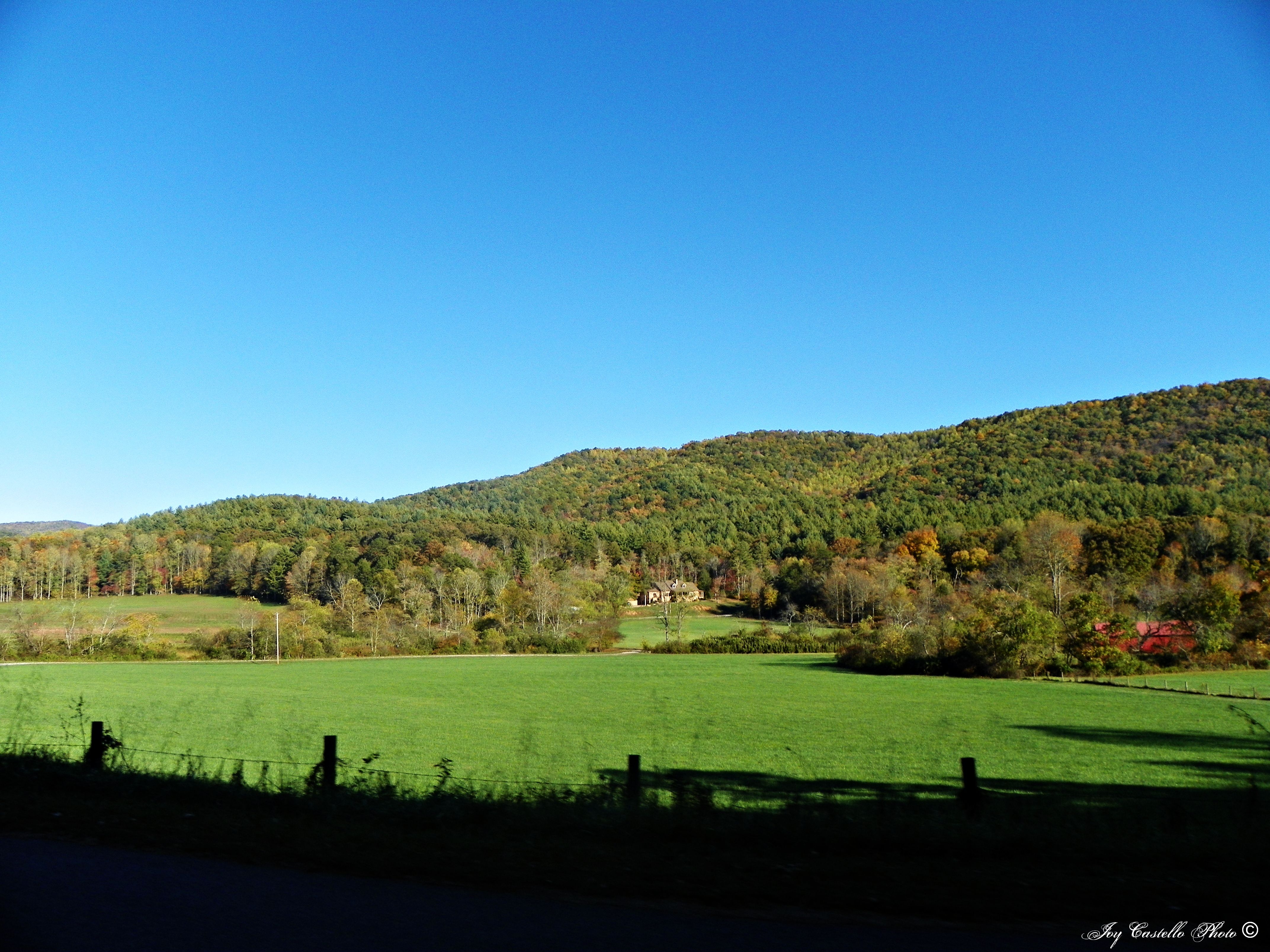
Fields and Sky
Topographic Map of Morganton Hwy, Suches, GA, USA
Find elevation by address:

Places near Morganton Hwy, Suches, GA, USA:
184 River Forest Pl
184 River Forest Pl
225 Nellie's Big Fish Road
28 Big Tree Road
104 Big Tree Road
Morganton Hwy, Suches, GA, USA
905 Rock Creek Rd
Cooper Creek Church
245 Hemlock Ln
28200 Morganton Hwy
1470 Coopers Creek Rd
2563 Coopers Creek Rd
802 Coopers Creek Rd
802 Coopers Creek Rd
274 Cooper Creek Dr
138 Valley View Ln
138 Valley View Ln
138 Valley View Ln
167 Warren Miller Rd
Valley View Lane
Recent Searches:
- Elevation of Corso Fratelli Cairoli, 35, Macerata MC, Italy
- Elevation of Tallevast Rd, Sarasota, FL, USA
- Elevation of 4th St E, Sonoma, CA, USA
- Elevation of Black Hollow Rd, Pennsdale, PA, USA
- Elevation of Oakland Ave, Williamsport, PA, USA
- Elevation of Pedrógão Grande, Portugal
- Elevation of Klee Dr, Martinsburg, WV, USA
- Elevation of Via Roma, Pieranica CR, Italy
- Elevation of Tavkvetili Mountain, Georgia
- Elevation of Hartfords Bluff Cir, Mt Pleasant, SC, USA