Elevation of Morgan County Hwy, Sunbright, TN, USA
Location: United States > Tennessee > Scott County > Sunbright >
Longitude: -84.656443
Latitude: 36.279034
Elevation: 409m / 1342feet
Barometric Pressure: 97KPa
Elevation Map:
Satellite Map:
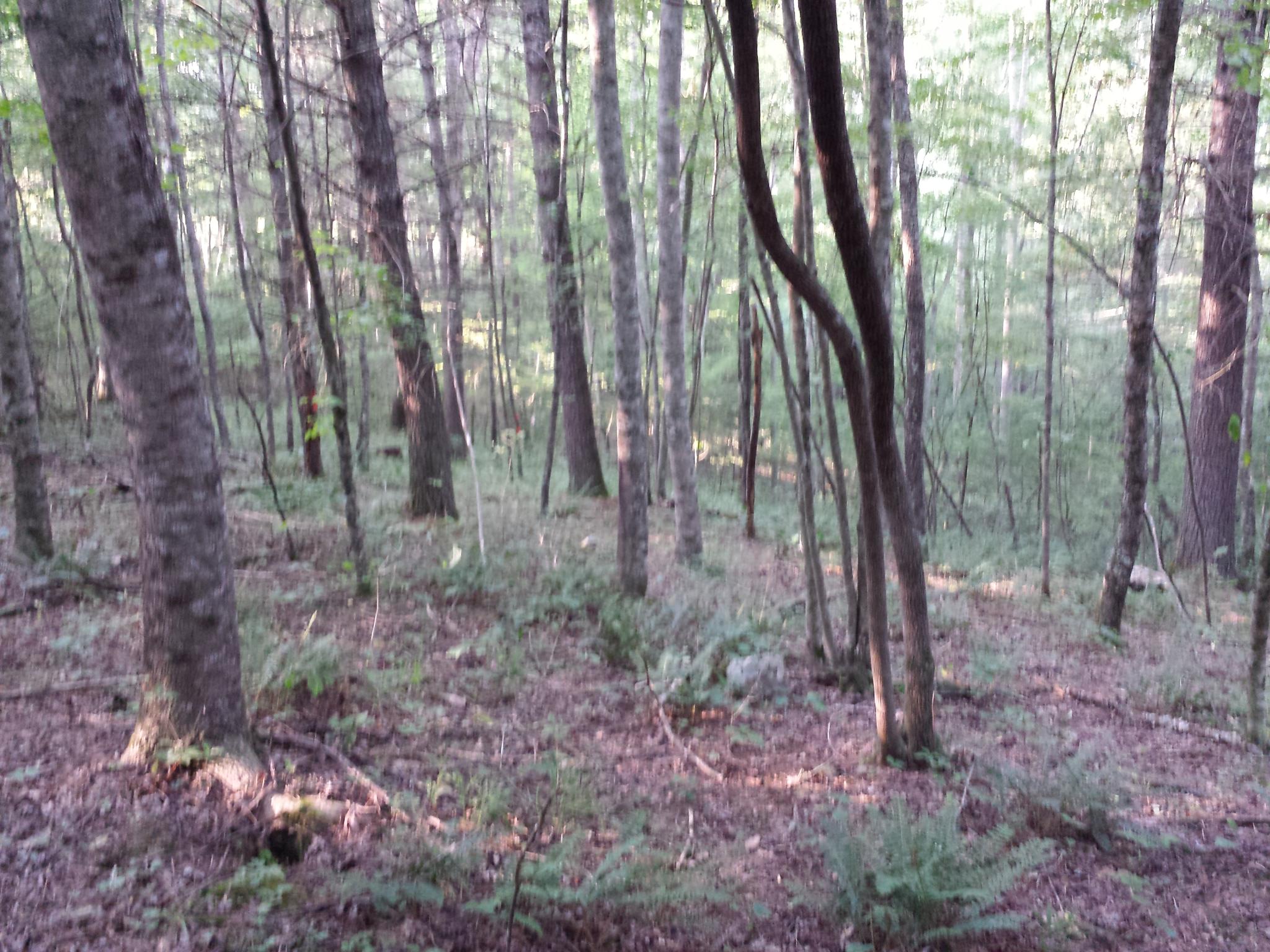
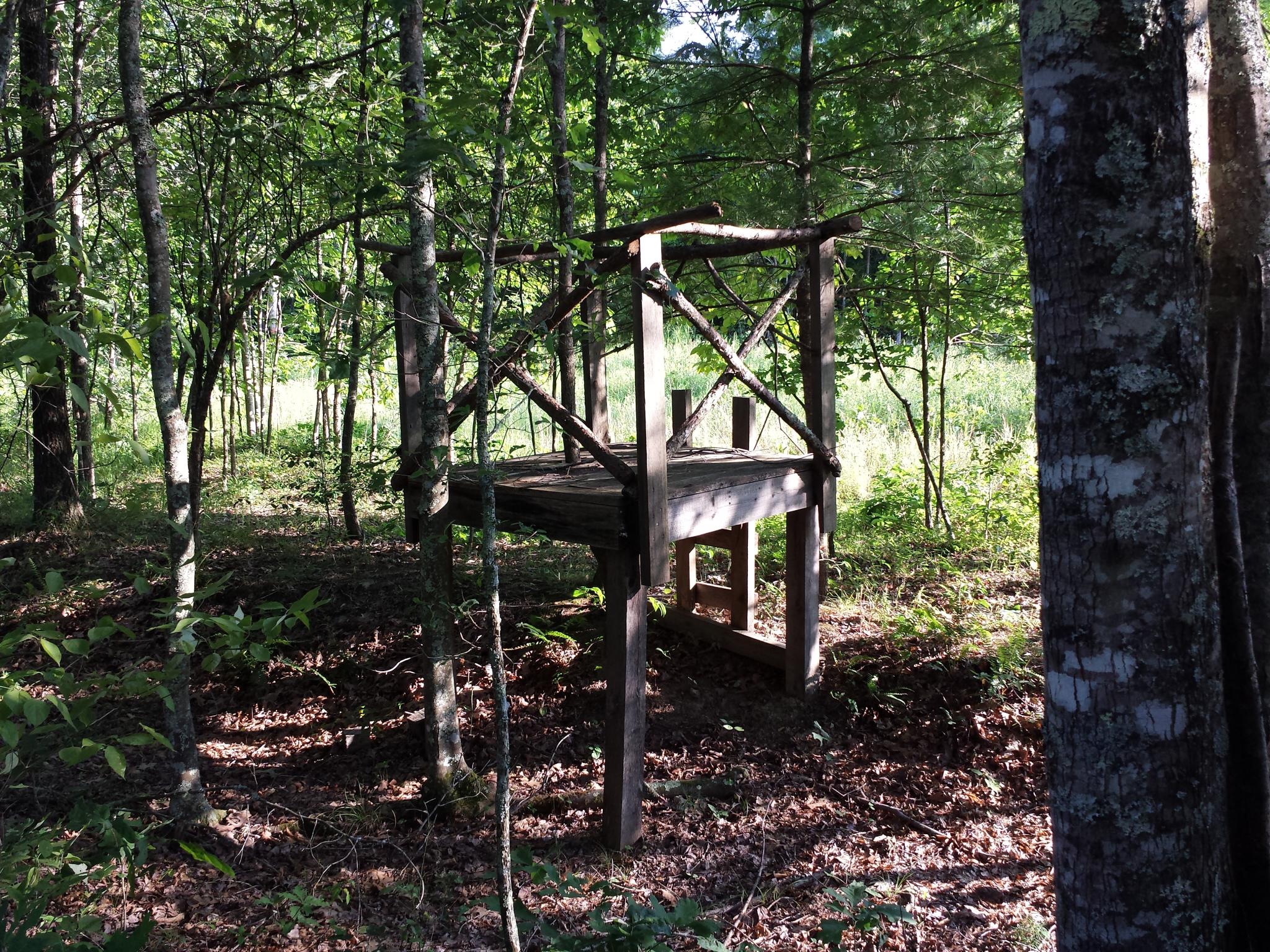
Related Photos:

Library in Rugby Tennessee

Library in Rugby Tennessee

Chilly sunshower.
Big South Fork National Recreation Area - Honey Creek Loop
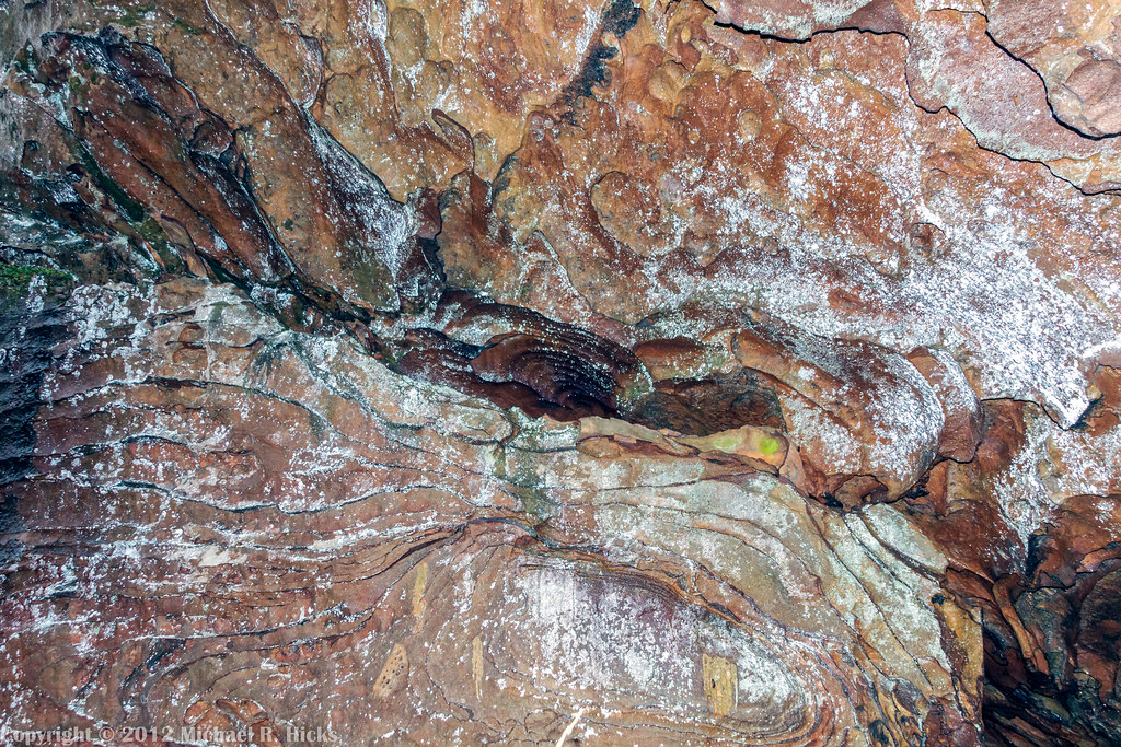
bur-053
Big South Fork National Recreation Area - Honey Creek Loop
bur-039
bur-067
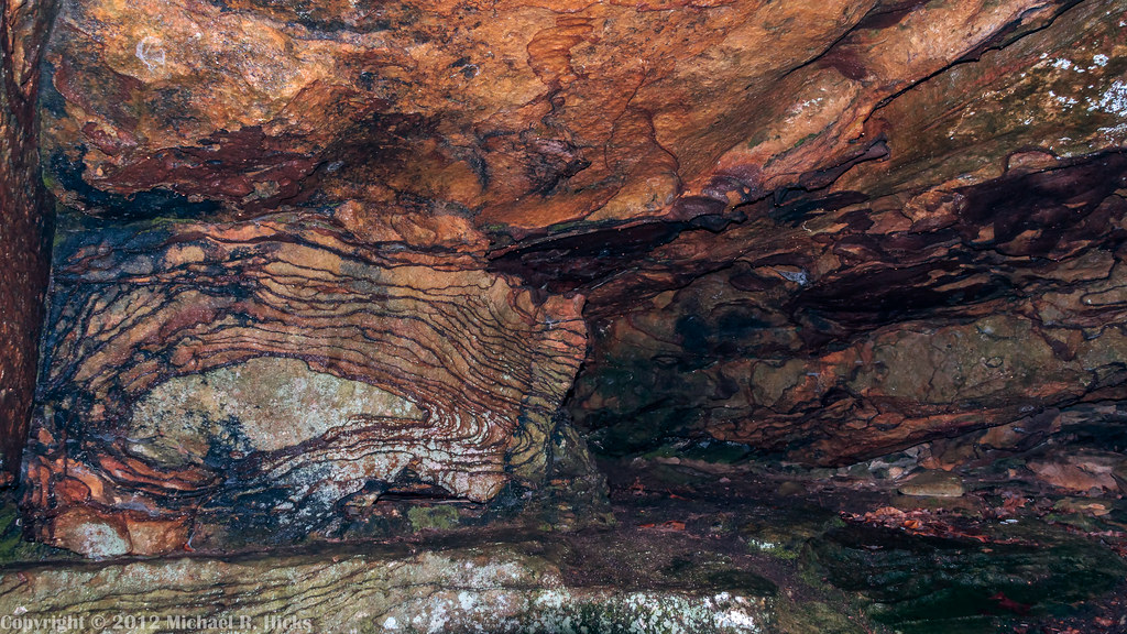
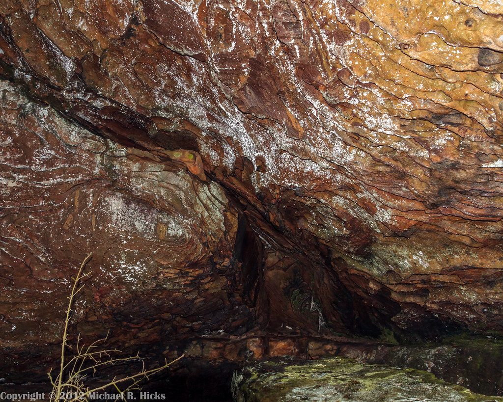
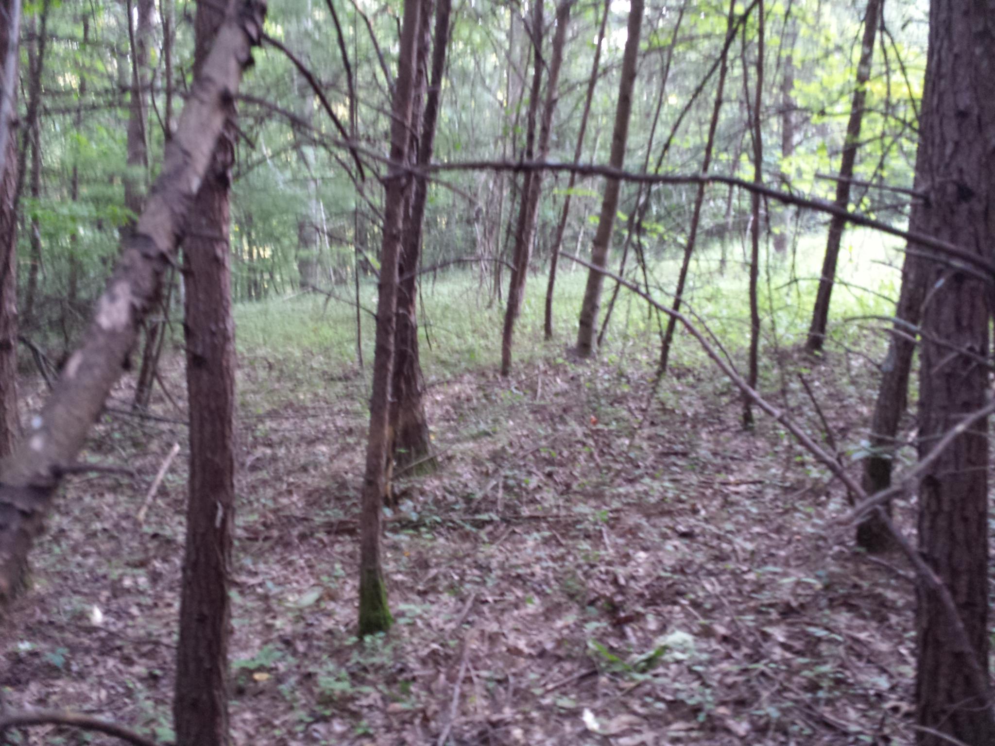
Big South Fork National Recreation Area - Honey Creek Loop
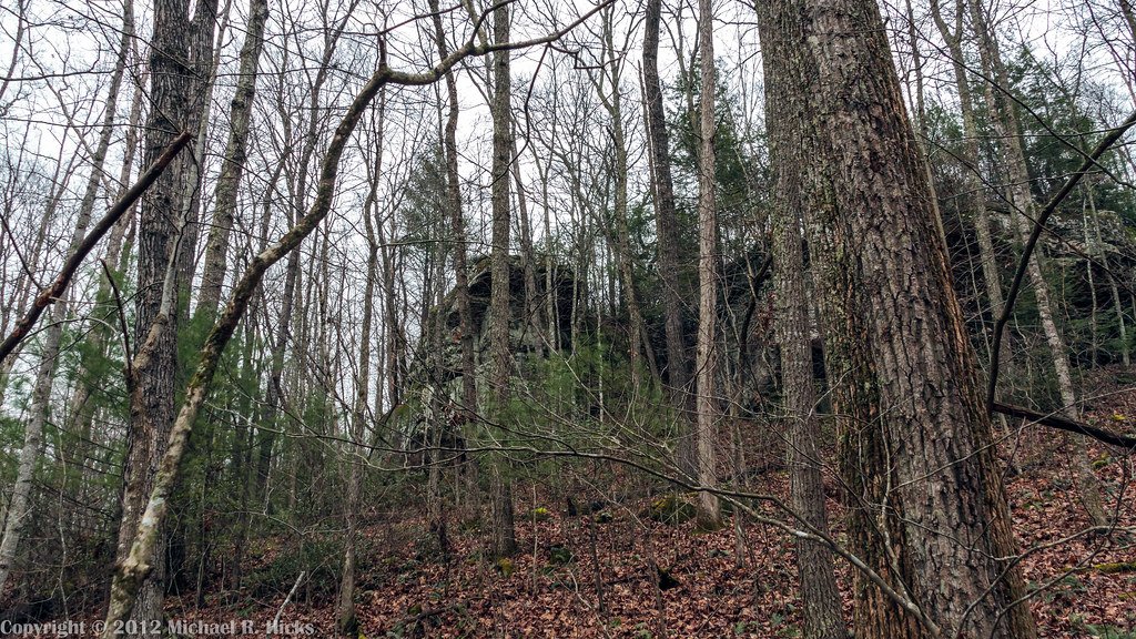
Big South Fork National Recreation Area - Honey Creek Loop
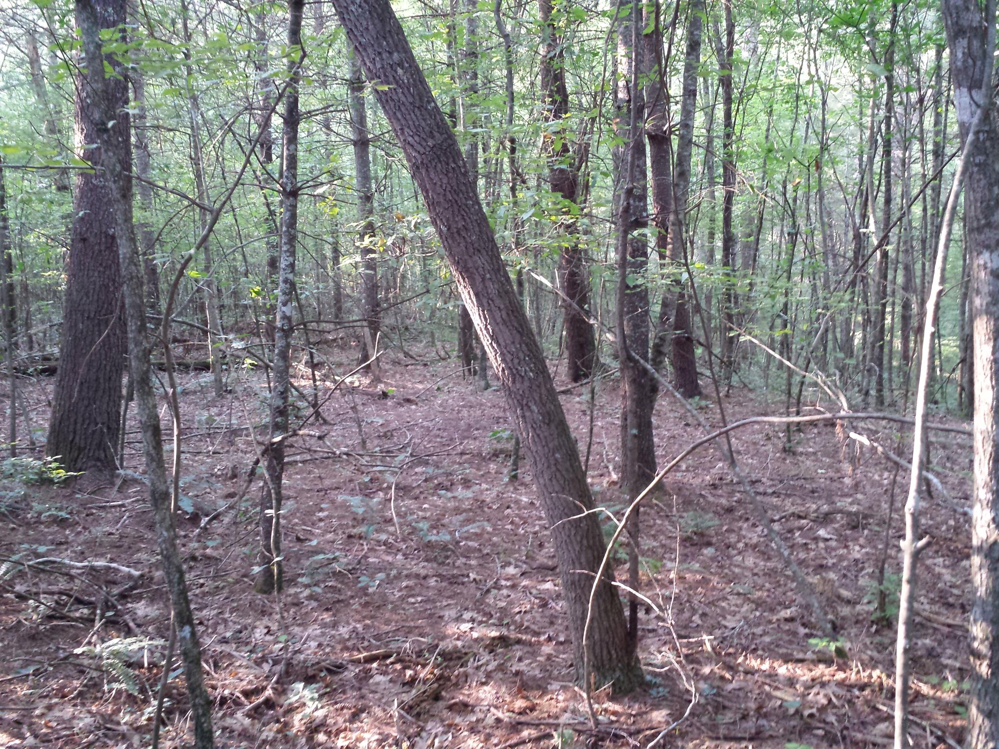
bur-052

Big South Fork National Recreation Area - Honey Creek Loop
bur-066
bur-071

bur-056
bur-054
bur-043
bur-068

bur-057
bur-037
2014-11-25 13.46.17
bur-065

bur-078
Topographic Map of Morgan County Hwy, Sunbright, TN, USA
Find elevation by address:

Places near Morgan County Hwy, Sunbright, TN, USA:
157 Davis Rd
Sunbright
Red Hill Rd, Robbins, TN, USA
196 Red Hill Rd
196 Red Hill Rd
Coalhill Rd, Sunbright, TN, USA
612 Coon Hollow Rd
613 Coon Hollow Rd
Lewallen Road
864 Deer Lodge Hwy
923 Concord Rd
Rugby
126 Offler St
Robbins
4935 Scott Hwy
Mt View Rd, Robbins, TN, USA
1952 Old Hwy 27
Company Cir, Helenwood, TN, USA
Brimstone Rd, Robbins, TN, USA
Recent Searches:
- Elevation of Corso Fratelli Cairoli, 35, Macerata MC, Italy
- Elevation of Tallevast Rd, Sarasota, FL, USA
- Elevation of 4th St E, Sonoma, CA, USA
- Elevation of Black Hollow Rd, Pennsdale, PA, USA
- Elevation of Oakland Ave, Williamsport, PA, USA
- Elevation of Pedrógão Grande, Portugal
- Elevation of Klee Dr, Martinsburg, WV, USA
- Elevation of Via Roma, Pieranica CR, Italy
- Elevation of Tavkvetili Mountain, Georgia
- Elevation of Hartfords Bluff Cir, Mt Pleasant, SC, USA