Elevation of Montrevault-sur-Èvre, France
Location: France > Pays De La Loire > Maine-et-loire >
Longitude: -1.0425326
Latitude: 47.2681136
Elevation: 49m / 161feet
Barometric Pressure: 101KPa
Elevation Map:
Satellite Map:
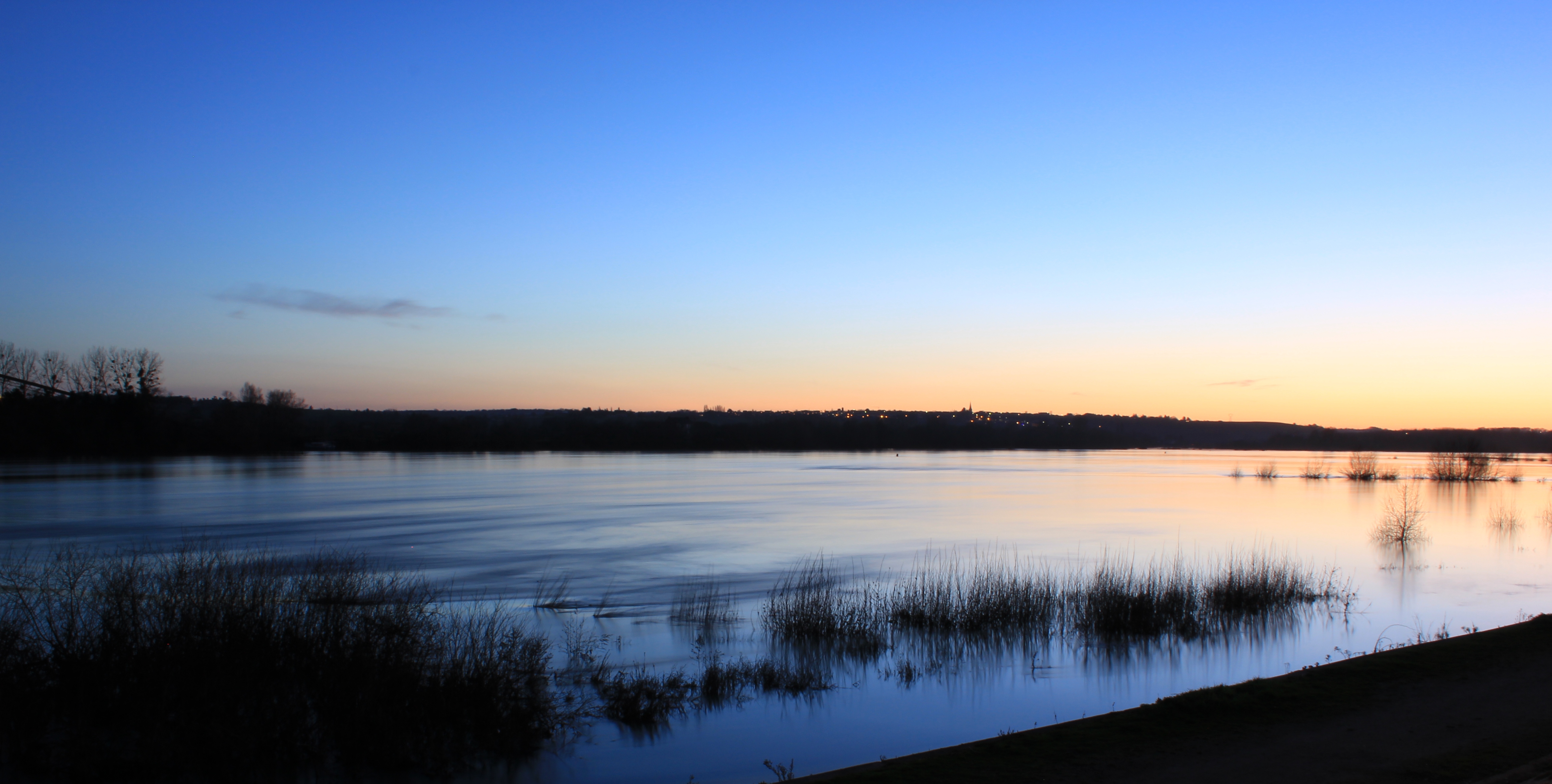
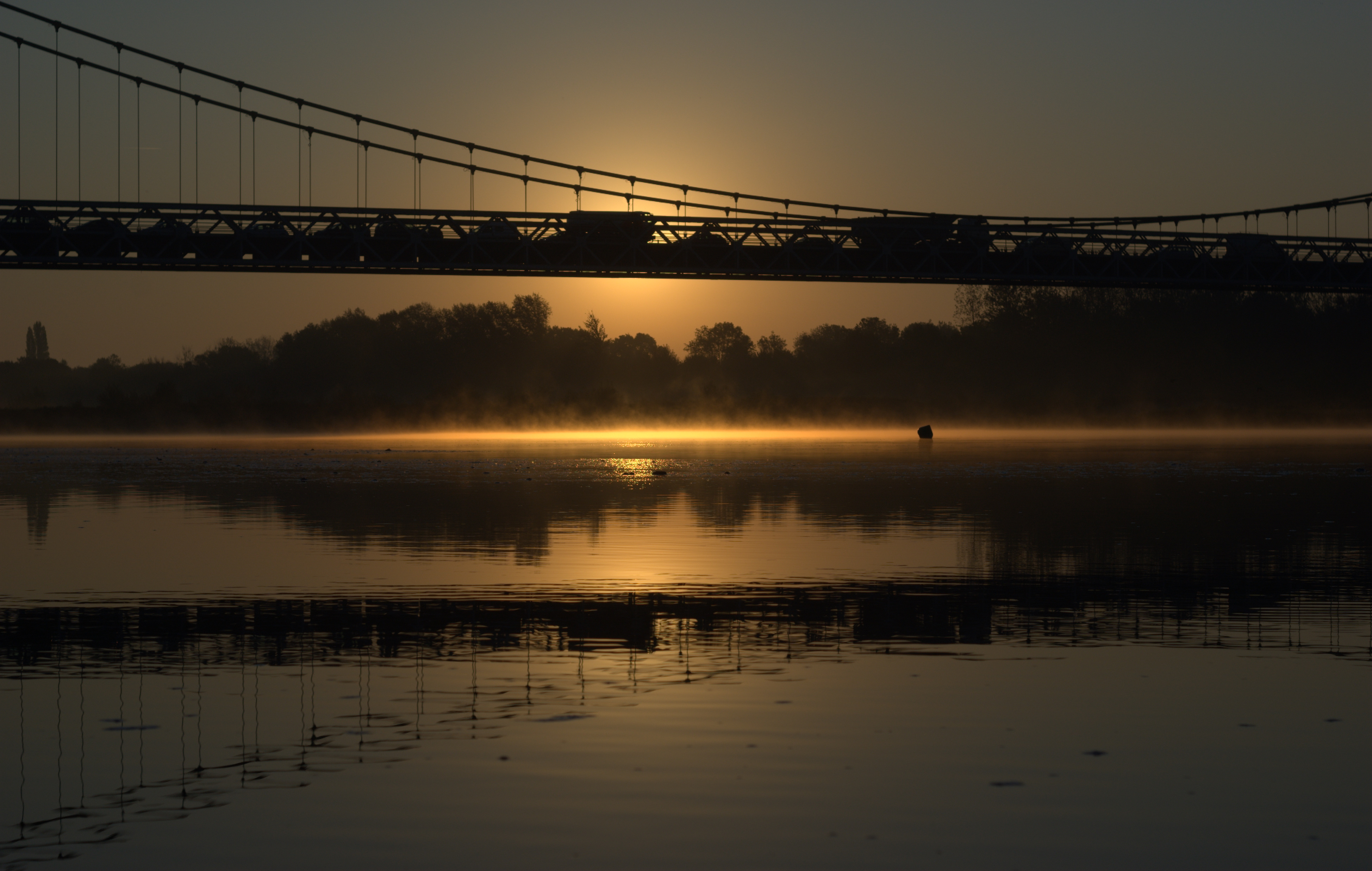
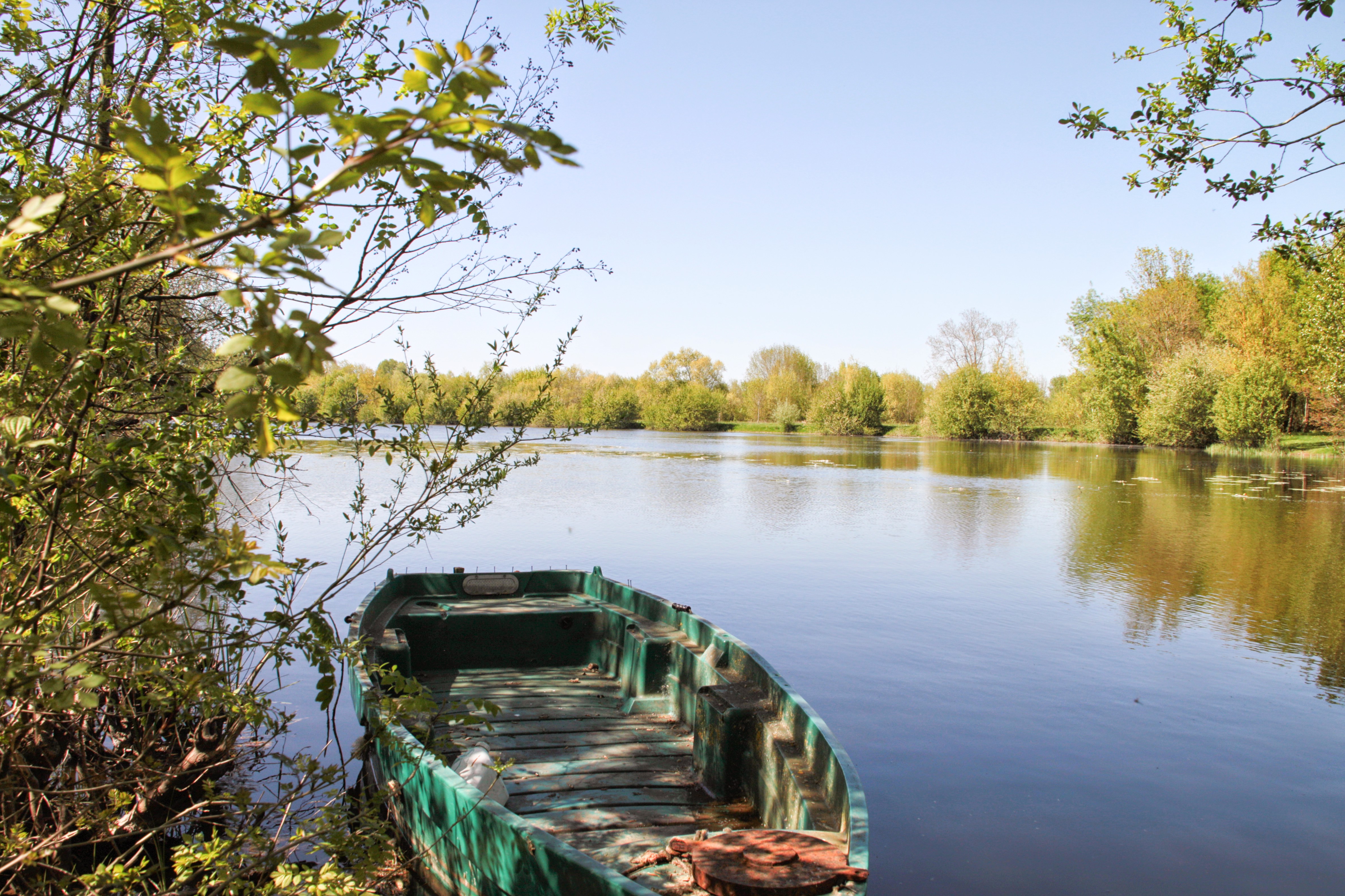
Related Photos:

Partial view of the car park reserved for classic cars

Bridge at St Florent le Vieil

Entrance to the castle

Brouillard et matin

Quiétude matinale

20122014-IMG_1933

Troupeau de Champignons

20122014-IMG_1938

31122014-IMG_2181-2

Automnal 1

The lying tree
Sunset on Loire from Ancenis

20122014-IMG_1931-2
pour simplement ça...

16 avril 2014_IMG_0175_Camping_Boires_Drain_G_SALLE

Automnal 3
16 avril 2014_IMG_0189_Camping_Boires_Drain_G_SALLE

16 avril 2014_IMG_0188_Camping_Boires_Drain_G_SALLE

17 mai 2014_IMG_0439_Camping _DRAIN_G_SALLE

16 avril 2014_IMG_0139_Camping_Boires_Drain_G_SALLE

Loire Matin de Printemps

17 mai 2014_IMG_0425_Camping _DRAIN_G_SALLE

Forêt en neige (Forêt de la Foucaudière)
Topographic Map of Montrevault-sur-Èvre, France
Find elevation by address:

Places in Montrevault-sur-Èvre, France:
Places near Montrevault-sur-Èvre, France:
Saint-florent-le-vieil
Le Marillais
2 La Papinière, Montrevault-sur-Èvre, France
15 Place de l'Abbé Meffray, Le Marillais, France
6 Place de L Hôtel de ville, Saint-Florent-le-Vieil, France
Gesté
15 La Piltière, Geste, France
4 Les Landes, La Renaudière, France
La Renaudière
2 Charbonneau, La Renaudière, France
160 Rue Du Verger
Jallais
Le May-sur-Èvre
2 Rue de l'Abbé Dupé, Le May-sur-Èvre, France
15 Rue de la Mairie, La Romagne, France
La Romagne
Rue de l'Abbé Chupin, Jallais, France
12 La Breulière, Barbechat, France
Barbechat
Oudon
Recent Searches:
- Elevation of Corso Fratelli Cairoli, 35, Macerata MC, Italy
- Elevation of Tallevast Rd, Sarasota, FL, USA
- Elevation of 4th St E, Sonoma, CA, USA
- Elevation of Black Hollow Rd, Pennsdale, PA, USA
- Elevation of Oakland Ave, Williamsport, PA, USA
- Elevation of Pedrógão Grande, Portugal
- Elevation of Klee Dr, Martinsburg, WV, USA
- Elevation of Via Roma, Pieranica CR, Italy
- Elevation of Tavkvetili Mountain, Georgia
- Elevation of Hartfords Bluff Cir, Mt Pleasant, SC, USA