Elevation of Montpellier, QC J0V, Canada
Location: Canada > Québec > Papineau Regional County Municipality > Montpellier >
Longitude: -75.163574
Latitude: 45.8548959
Elevation: 207m / 679feet
Barometric Pressure: 99KPa
Elevation Map:
Satellite Map:
Related Photos:
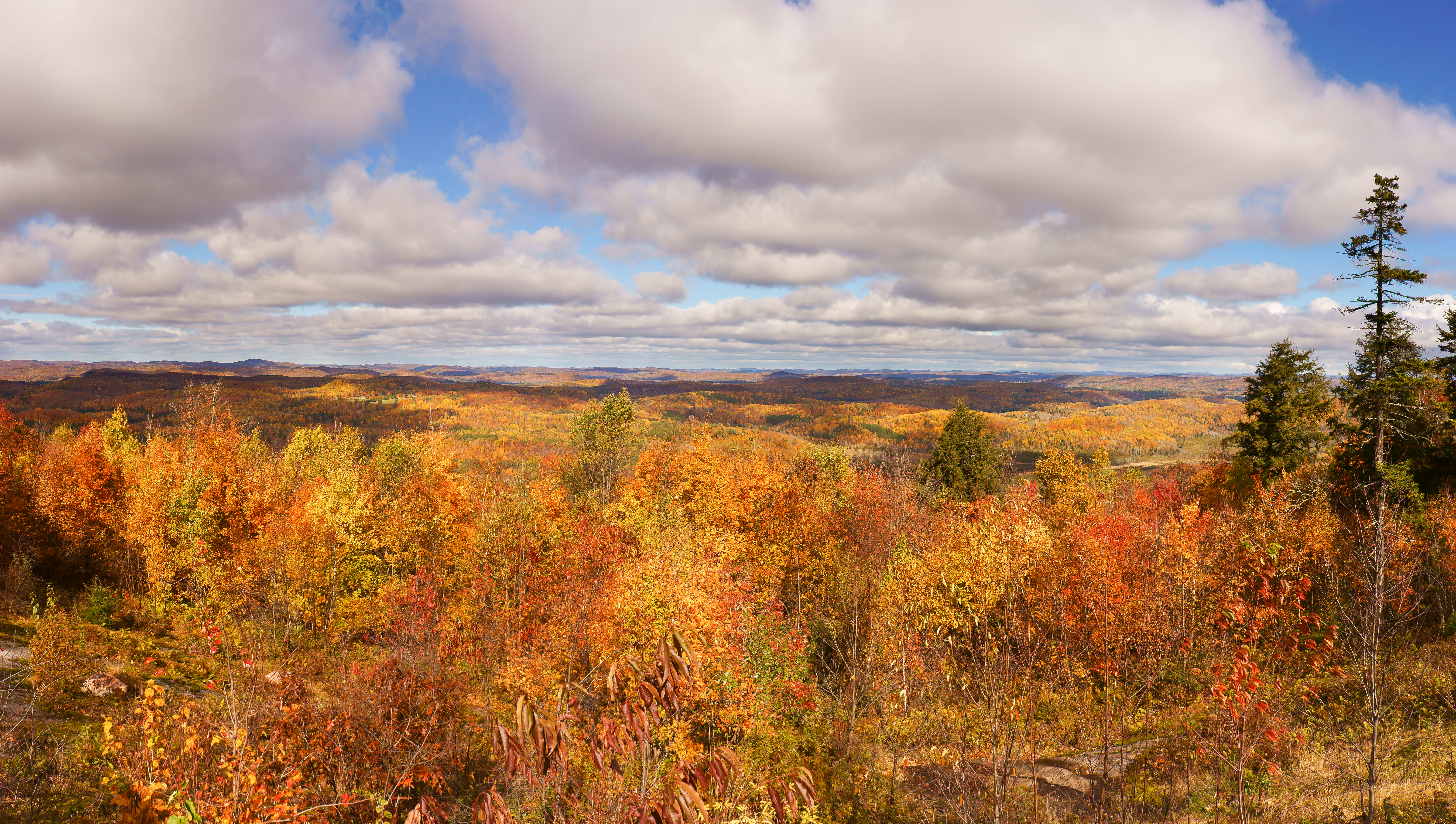
On fire

View from above. Last #sunset at #ROBACHELOR weekend. So long... 09.09.2012 #cottage #sunset #clouds #lake #lacsimon #dock #fishing #goodtimes #friends #reflections #instagood #instamood #iphonesia #iphoneography #snapseed #squareready
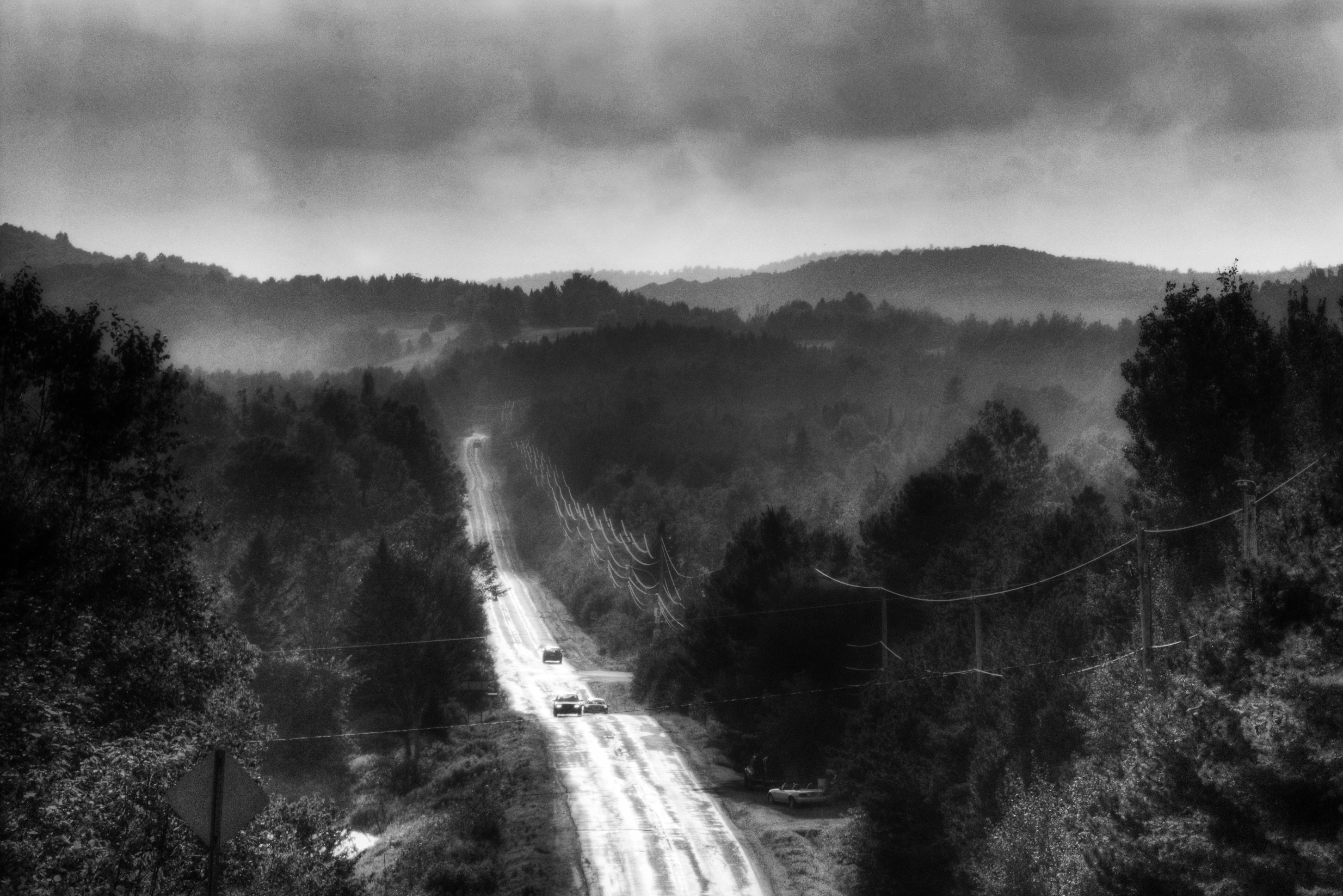
Road to Montpellier 2

Montee Rochon
POWER / PUISSANCE

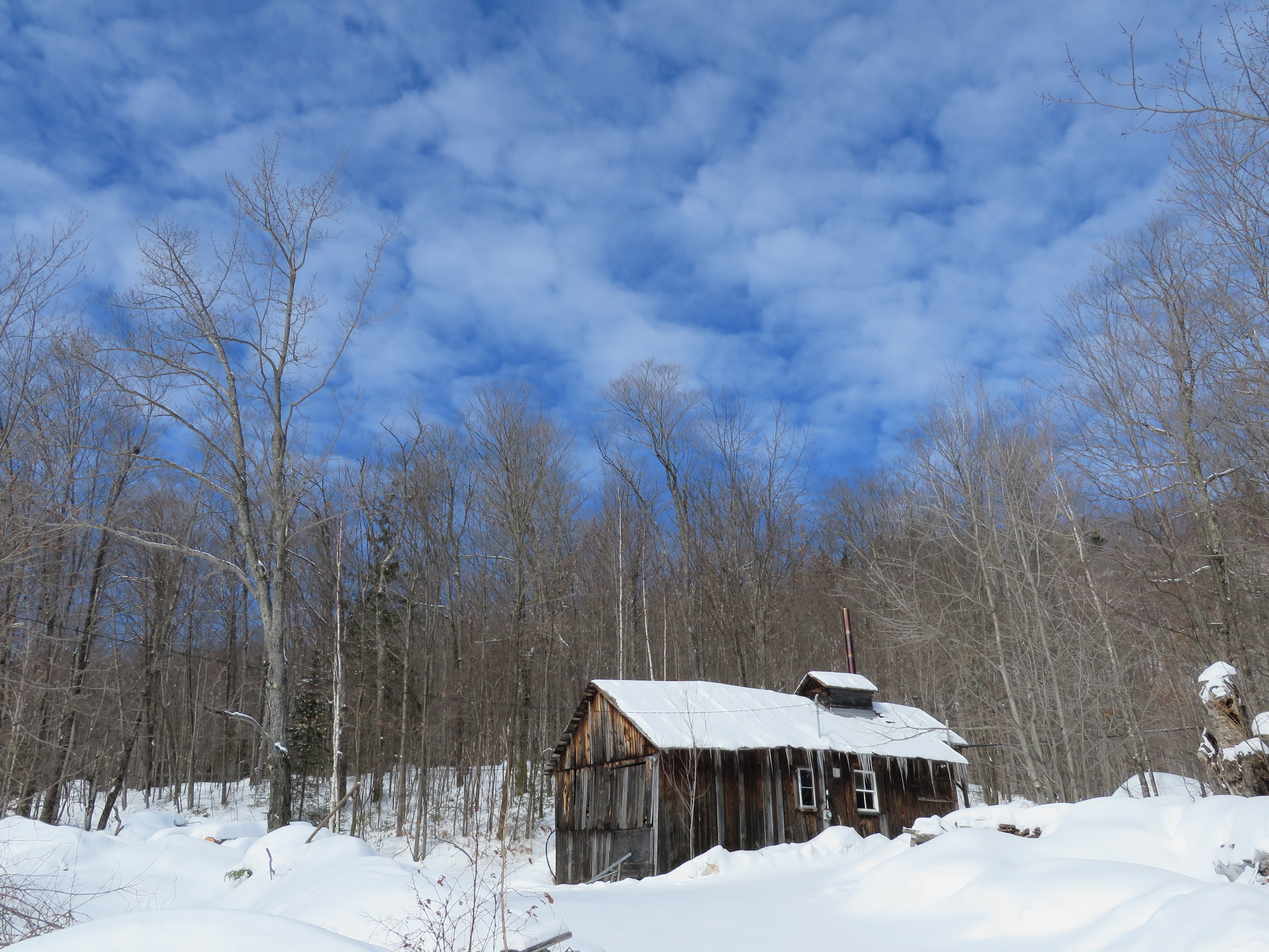
DSC_1335 copie

C-IATC / 001 Quad City Challenger II sn: CH21100-2033 (2002) _DSC5614 copy

Ripon, Québec
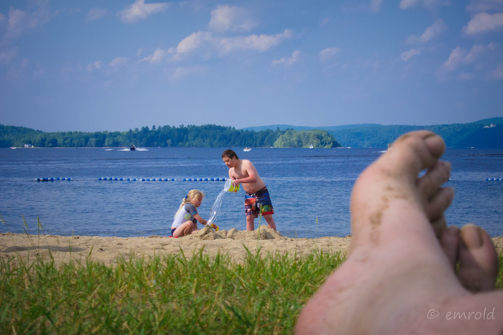
Bad toes on the beach - the first and only in a series
Ripon, Québec

DSC_1338 copie
DSC_1344 copie
DSC_1328 copie
DSC_2486 copy
DSC_1436 copy
DSC_2483 copy

DSC_2485 copy

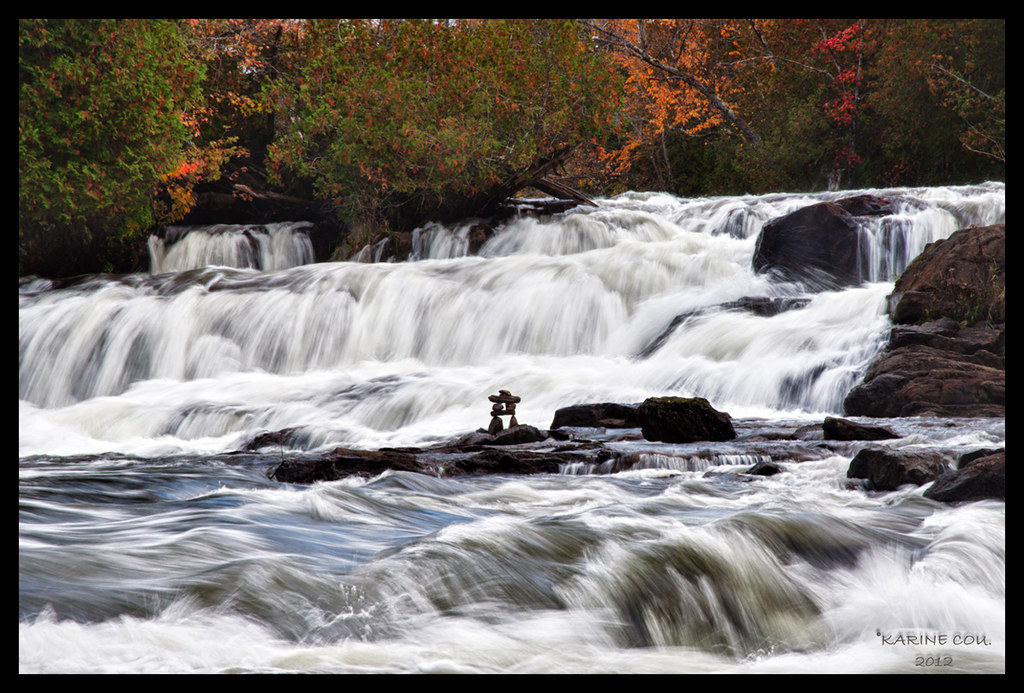
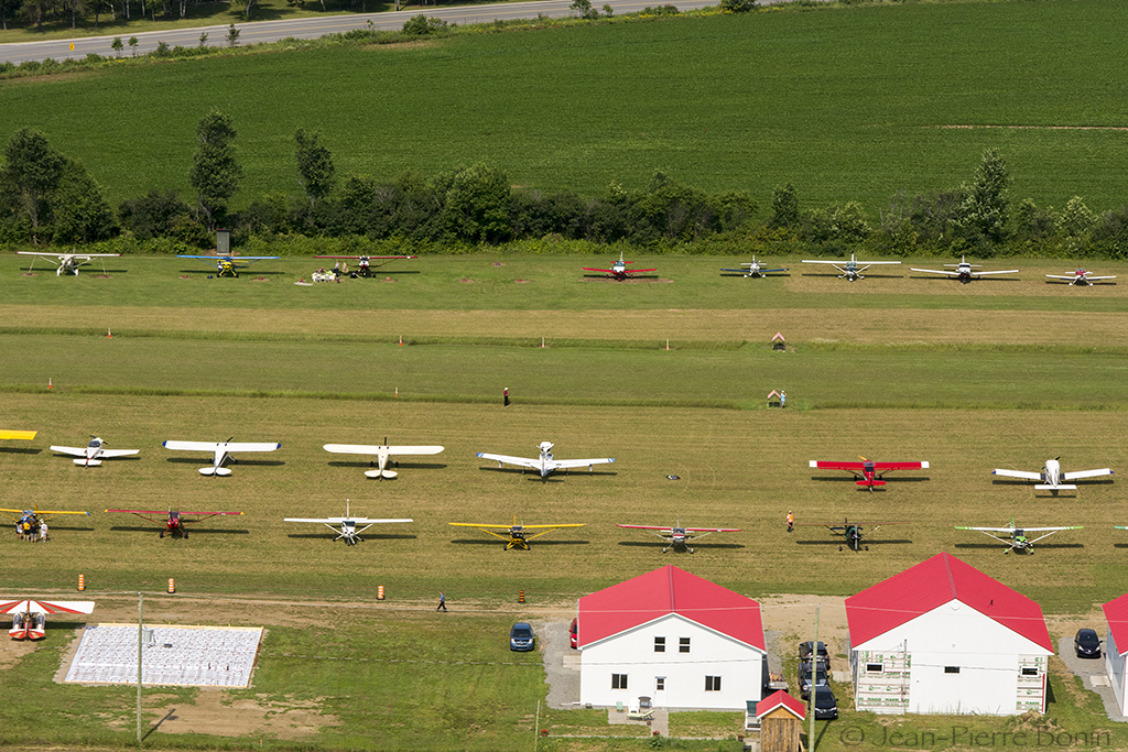
Ride Lac Simon
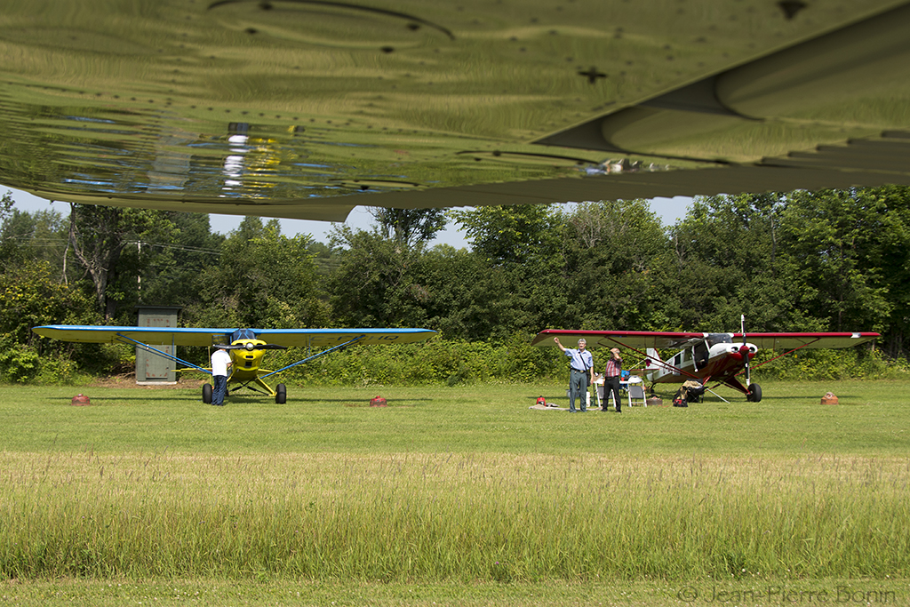
C-FEHQ Wagaero Cuby sn 220 (1989) & C-GLWZ Northland PA 18 sn NL-12183 (2014) DSC_5679 copy
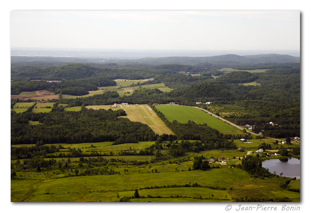
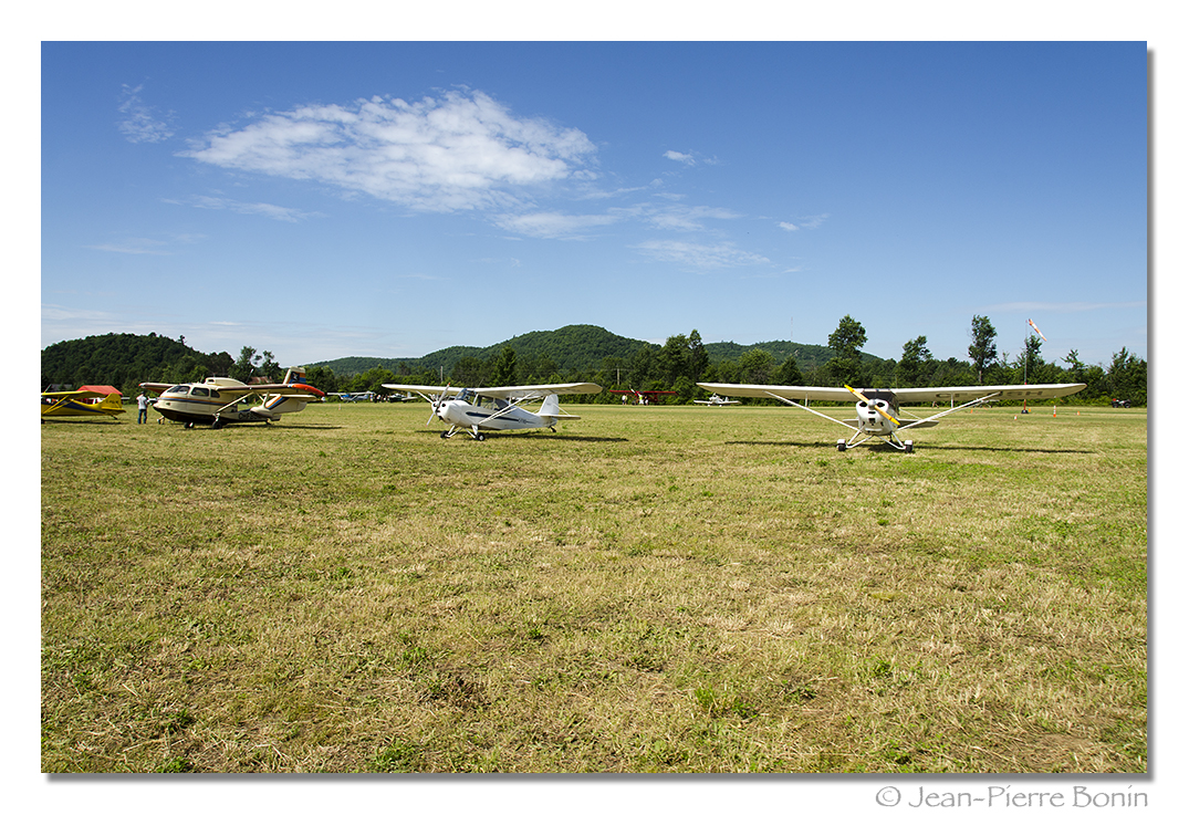
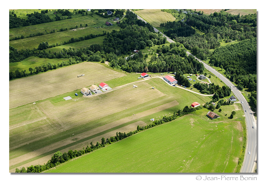
Aéroport Saint-André-Avellin CAA2 Airport DSC_5570 copy
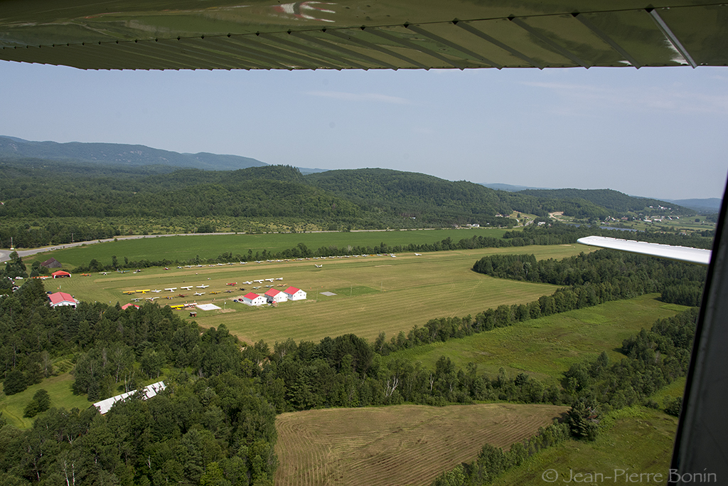
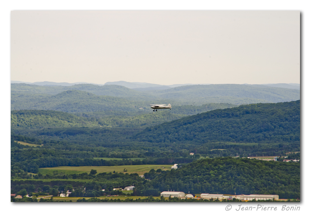
Aéroport Saint-André-Avellin CAA2 Airport DSC_5574 copy
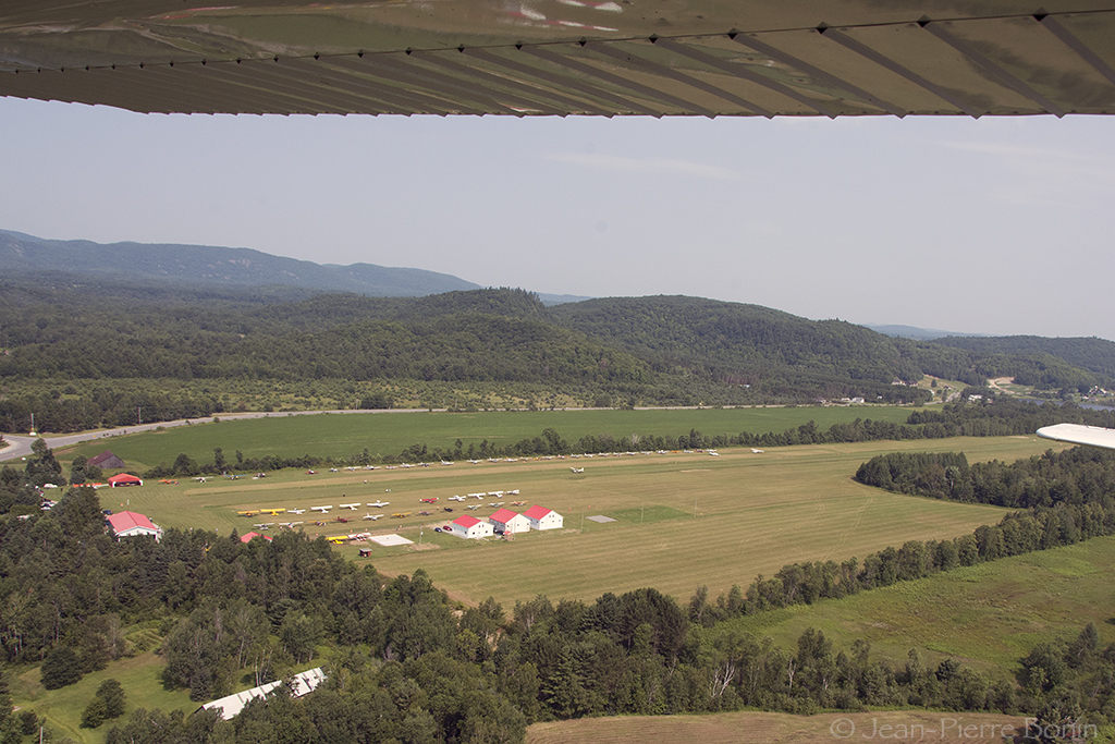
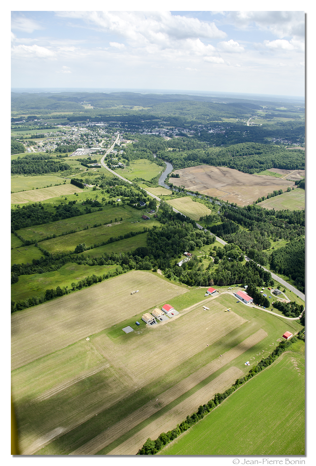
Aéroport Saint-André-Avellin CAA2 Airport DSC_5575 copy
Topographic Map of Montpellier, QC J0V, Canada
Find elevation by address:

Places near Montpellier, QC J0V, Canada:
84 Qc-315
33 Chemin De La Baie De L'ours
12 Rue André
272 Chemin De La Montagne Noire
272 Chemin De La Montagne Noire
272 Chemin De La Montagne Noire
Ripon
599 Chemin Caron
69 Chemin De Mulgrave
115 Chemin Des Guides
21 Chemin Du Lac Daoust N
21 Chemin Du Lac Daoust N
Chemin Des Guides
Papineau Regional County Municipality
41 Rue Guay, Ripon, QC J0V 1V0, Canada
Ripon
Montée St Jean, Saint-André-Avellin, QC J0V 1W0, Canada
Des Érables
Saint-andré-avellin
Saint-andré-avellin
Recent Searches:
- Elevation of Corso Fratelli Cairoli, 35, Macerata MC, Italy
- Elevation of Tallevast Rd, Sarasota, FL, USA
- Elevation of 4th St E, Sonoma, CA, USA
- Elevation of Black Hollow Rd, Pennsdale, PA, USA
- Elevation of Oakland Ave, Williamsport, PA, USA
- Elevation of Pedrógão Grande, Portugal
- Elevation of Klee Dr, Martinsburg, WV, USA
- Elevation of Via Roma, Pieranica CR, Italy
- Elevation of Tavkvetili Mountain, Georgia
- Elevation of Hartfords Bluff Cir, Mt Pleasant, SC, USA