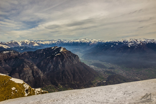
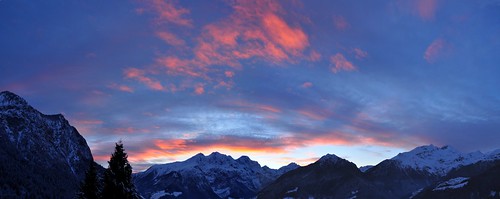
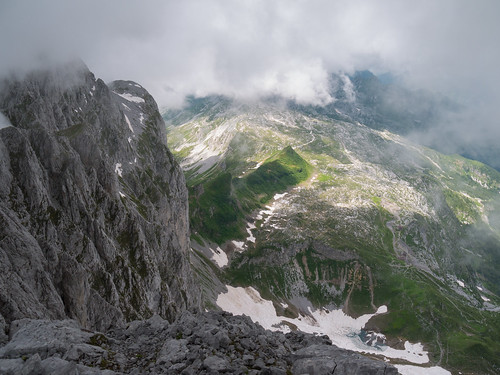
Elevation of Monte Ferrante, Rovetta, Province of Bergamo, Italy
Location: Italy > Lombardy > Province Of Bergamo > Rovetta >
Longitude: 10.028889
Latitude: 45.974722
Elevation: 2382m / 7815feet
Barometric Pressure: 76KPa
Related Photos:
Topographic Map of Monte Ferrante, Rovetta, Province of Bergamo, Italy
Find elevation by address:

Places near Monte Ferrante, Rovetta, Province of Bergamo, Italy:
Bergamo Alps
Lizzola
Via Privata Tito Speri, 22, Castione della Presolana BG, Italy
Via Rusio, 3, Castione della Presolana BG, Italy
Monte Gleno
Via Don Vincenzo Riccardi, 6, Bondione BG, Italy
Bondione
Gromo
Castione Della Presolana
Via Andrea Fantoni, 75, Castione della Presolana BG, Italy
Via Pineta, 29, Boario Spiazzi BG, Italy
Pianlivere
Via Pianlivere, 14, Valbondione BG, Italy
Castione Della Presolana
Via Santuario, 35
Via Santuario, 35
Grand Hotel Presolana
Presolana
Brugai
Valbondione
Recent Searches:
- Elevation of Corso Fratelli Cairoli, 35, Macerata MC, Italy
- Elevation of Tallevast Rd, Sarasota, FL, USA
- Elevation of 4th St E, Sonoma, CA, USA
- Elevation of Black Hollow Rd, Pennsdale, PA, USA
- Elevation of Oakland Ave, Williamsport, PA, USA
- Elevation of Pedrógão Grande, Portugal
- Elevation of Klee Dr, Martinsburg, WV, USA
- Elevation of Via Roma, Pieranica CR, Italy
- Elevation of Tavkvetili Mountain, Georgia
- Elevation of Hartfords Bluff Cir, Mt Pleasant, SC, USA


