Elevation of Montclair Rd, Lizton, IN, USA

Location: United States > Indiana > Hendricks County > Union Township > Lizton >

Longitude: -86.566768

Latitude: 39.847991

Elevation: 294m / 965feet

Barometric Pressure: 98KPa

Elevation Map:

elevation map of Montclair Rd, Lizton, IN, USA

Satellite Map:

Satellite map of Montclair Rd, Lizton, IN, USA

Related Photos:

county street longexposure nightphotography blue moon digital photoshop canon rebel washington raw doug © indiana overcast danville hour courthouse dslr xsi topaz hendricks adjust cs3 riceworld waggoner hoosierstate denoise 450d project3652010
86/365 - Night Court
airport aviation indiana danville generalaviation hendrickscounty hendrickscountyaviation
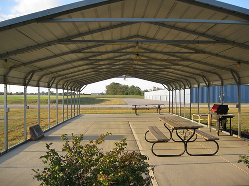
HCA Outdoor Gathering Space
fujifilm e550
My new iPod case
morning sky mist tree monochrome fog project landscape indiana 52 2015 brownsburg
10/52 -- Misty Morn
abandoned farmhouse rural landscape landscapes midwest decay farm ruin indiana forgotten homestead prairie agriculture smalltown
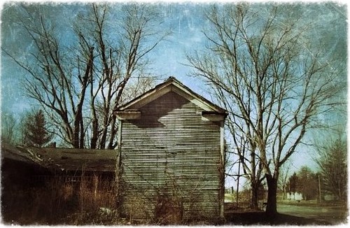
Prosperity once passed this way along the Ernie Pyle State Highway
park county longexposure bridge trees nature water digital creek photoshop canon rebel photo washington raw dynamic doug © trails indiana pedestrian dslr avon hdr township xsi topaz hendricks adjust cs3 riceworld waggoner hoosierstate denoise 450d project3652010
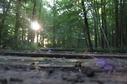
140/365 - Lost in the woods
Day 177: (Silver and) Gold
landscape scenery personal photos beck cam brandon ios vsco herewegrow ifttt
B E C K : June 11, 2014 at 02:41PM
Into the Woods
the bridge
indiana danville 1912 1910s courthouses in hendrickscounty countycourthouses usccinhendricks
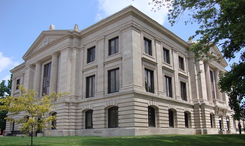
Hendricks County Courthouse (Danville, Indiana)
wedding light sunset love beautiful sex zeiss lens photography bride spring amazing warm flickr photographer natural sony marriage indiana full mount lgbt e same frame brides fe alpha today curtis equal sonnar 2016 a7ii mirrorless arzate sel55f18z
Brides Sunset
school architecture landscape outside doors exterior granville indianapolis engineering associates indiana wells architectural sidewalk architect schmidt canopy architects sai entry elementary k12 engineers schmidtassociates
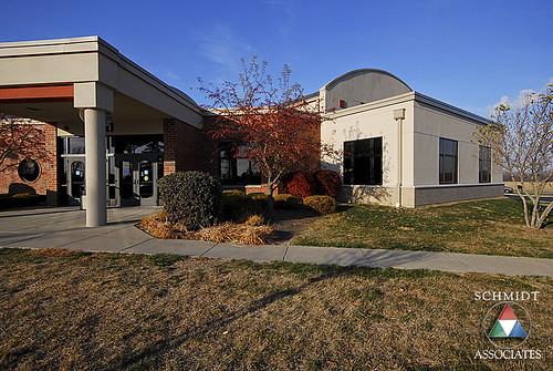
Front Entry Exterior
railroad train sunrise canon dawn indiana freight csx brownsburg 7492 q642
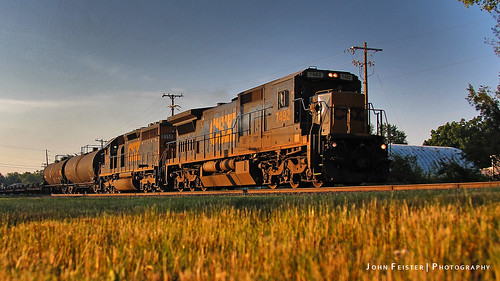
CSX 7492 - Brownsburg, Indiana
weather clouds cloudy
2010-11-03-18h41m49s-IMG_1306
park usa nature water fountain rock photography flickr unitedstates unitedstatesofamerica arbuckle artistsontumblr shutterbugseshat arbuckleacrespark photographersontumblr
Sliver Streaks
Little Things That Count
9568 Carolina Wren (CARW)
school architecture landscape outside exterior indianapolis parking engineering associates indiana architectural sidewalk architect schmidt architects sai primary entry k12 engineers pittsboro schmidtassociates standardtags
Pittsboro Primary Exterior
M on tractor drive
phone71012
phone 7-10-12 027
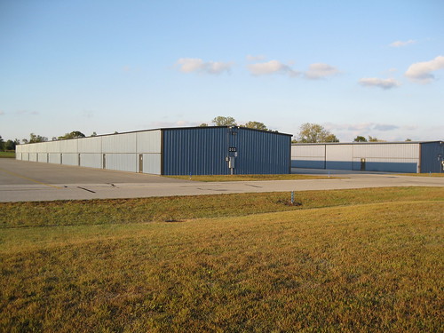
airport indiana danville hangars generalaviation hendrickscounty hendrickscountyaviation
HCA: Hangars
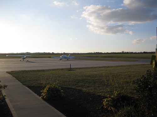
airport ramp aircraft aviation piper cessna generalaviation hendrickscounty
HCA Ramp / Sidewalk
uploaded:by=flicksquare geo:lat=3984838166088473 geo:lon=8640019655227661 foursquare:venue=4b524c8ff964a520c07527e3
Easter Egg Hunt.