Elevation of Montabon, France
Location: France > Pays De La Loire > Sarthe >
Longitude: 0.38451
Latitude: 47.680251
Elevation: 65m / 213feet
Barometric Pressure: 101KPa
Elevation Map:
Satellite Map:
Related Photos:
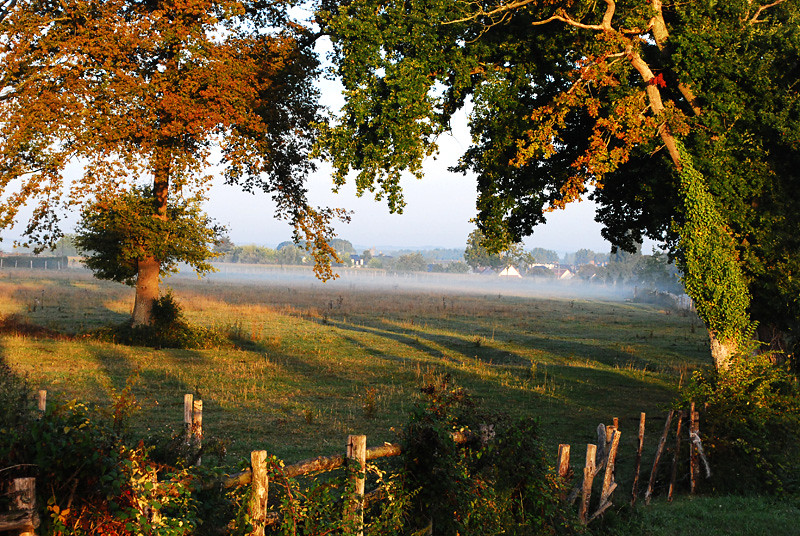
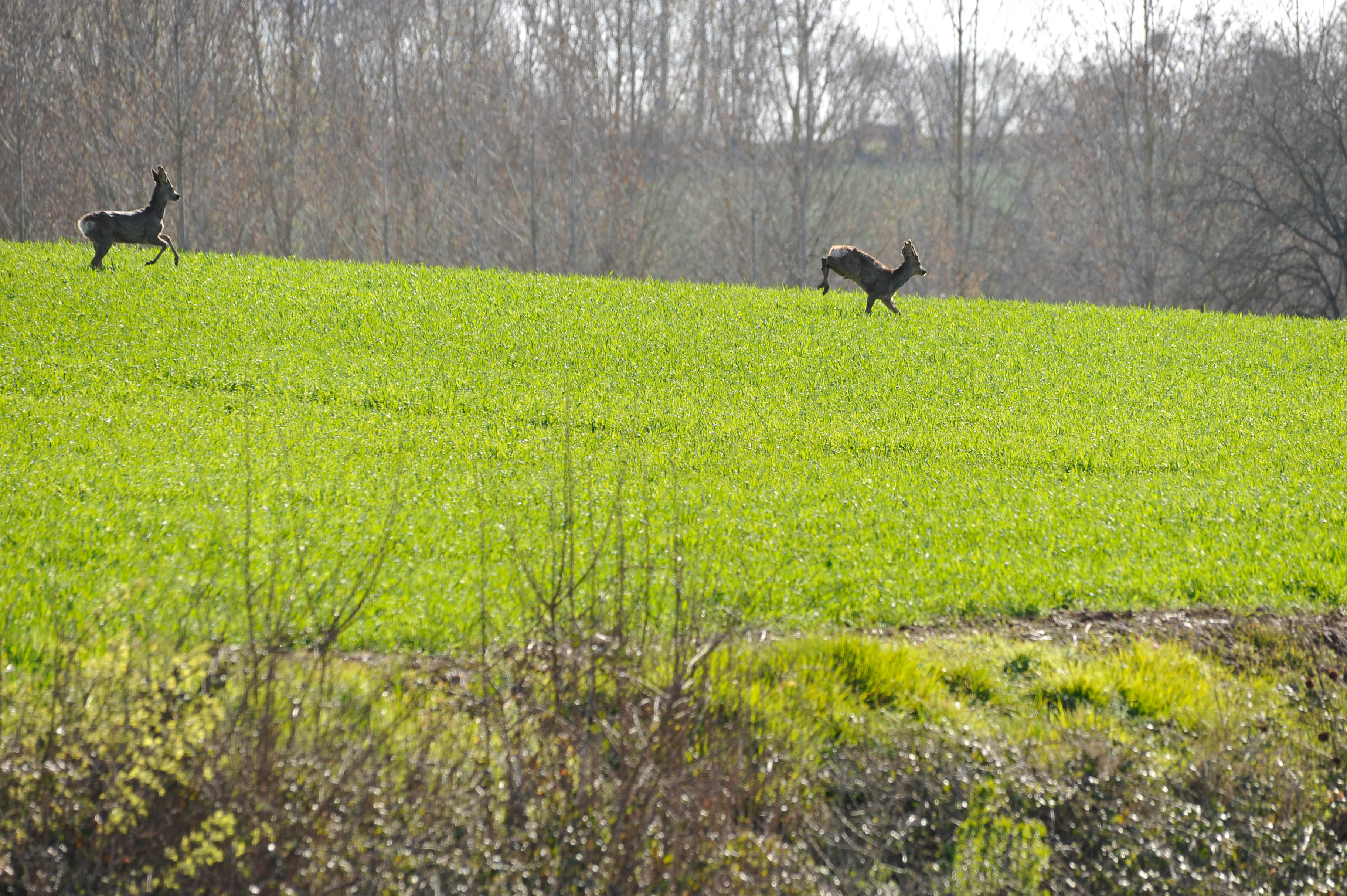
110910 early morning mist

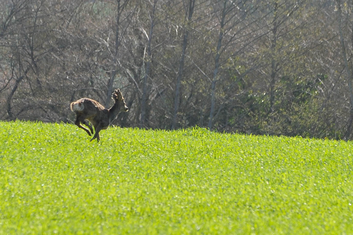
Mystère

Les bords du Loir
14 avril 2013 _DSC5010.jpg

La Chartre sur le Loir - couché de soleil sur la vigne 2
14 avril 2013 _DSC5008.jpg

20101030_18-19-44

20101030_18-24-10
Viel Ent ...
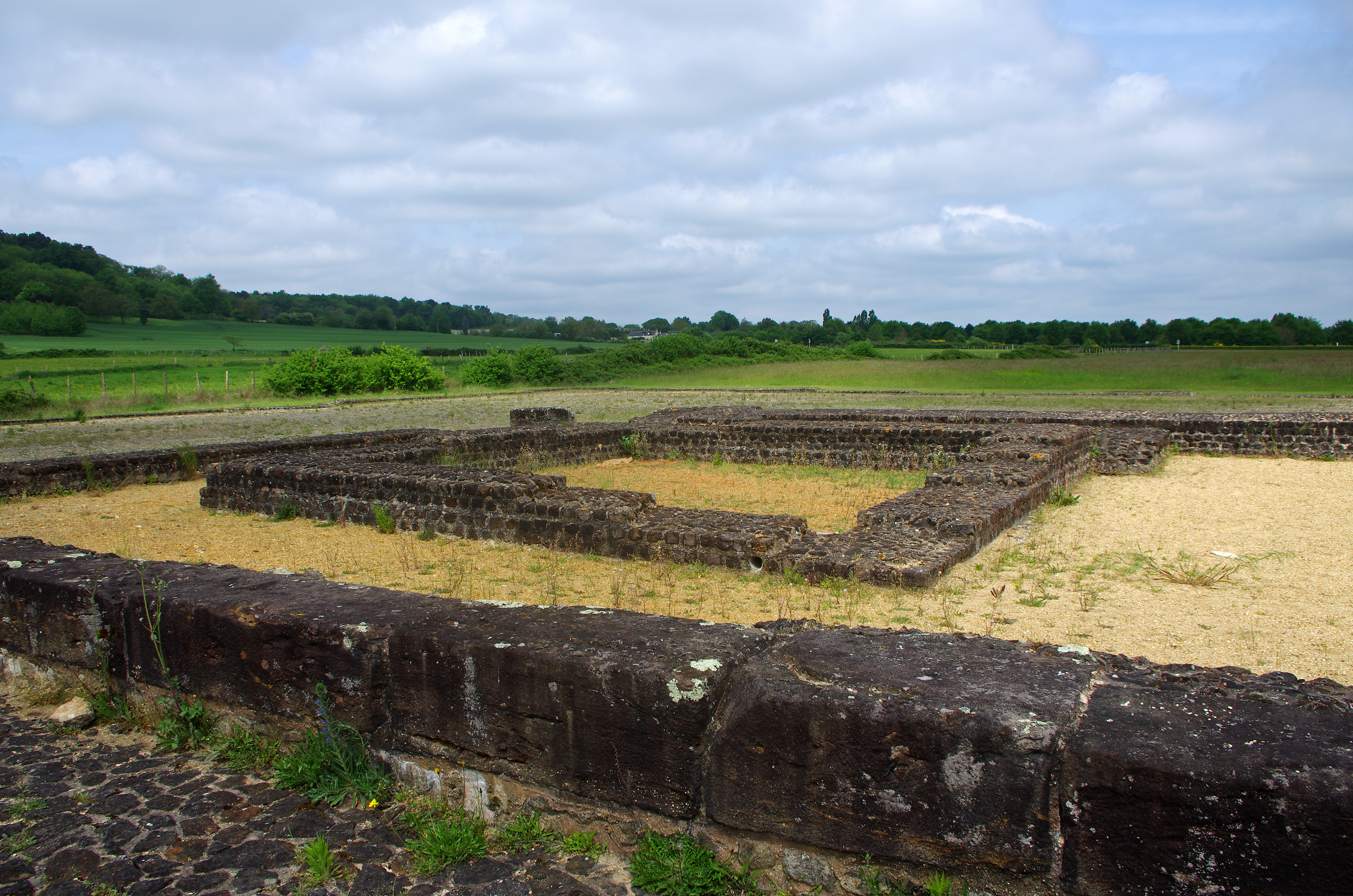
Aubigné-Racan (Sarthe).
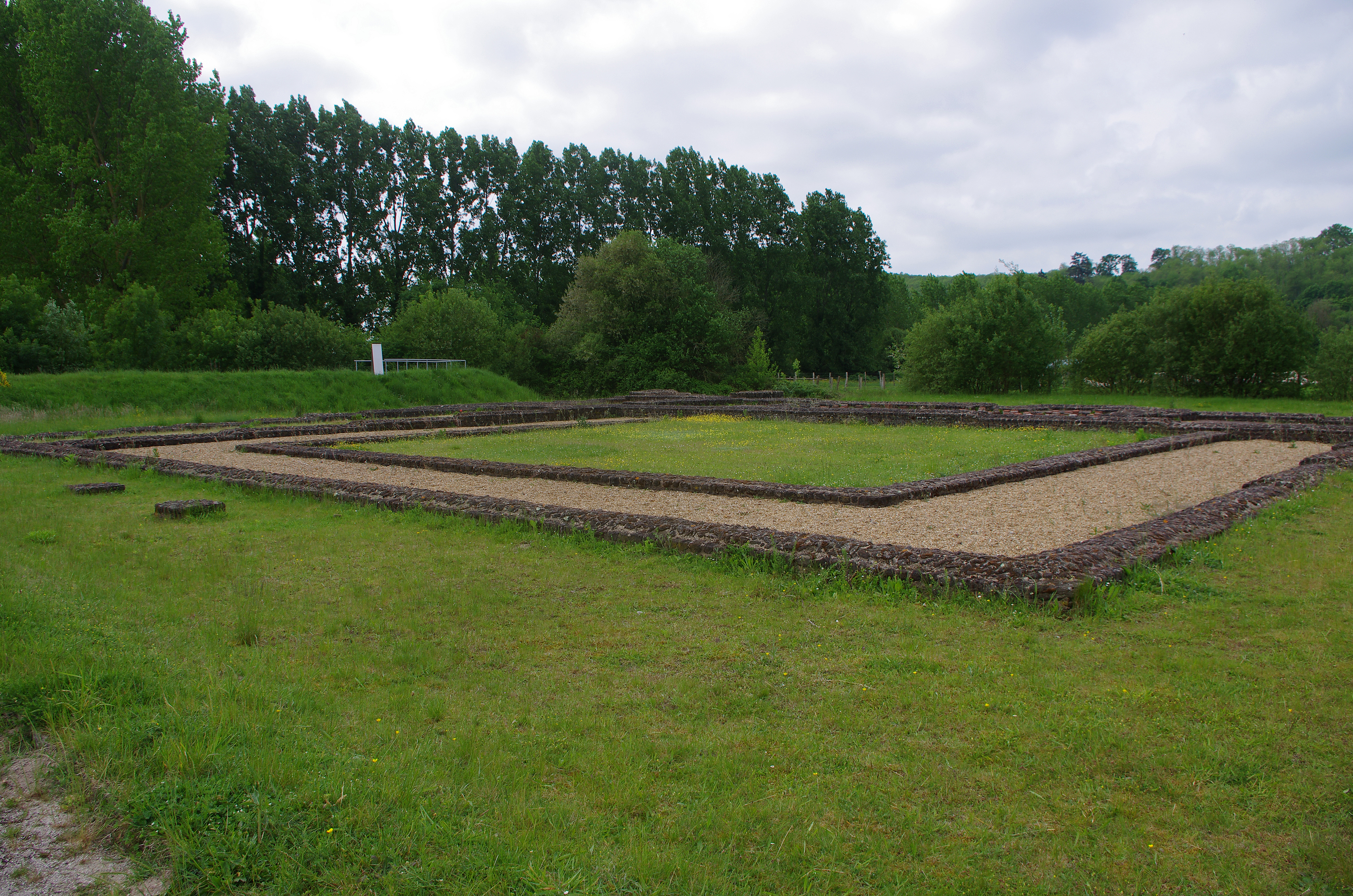
Aubigné-Racan (Sarthe)

Le Loir
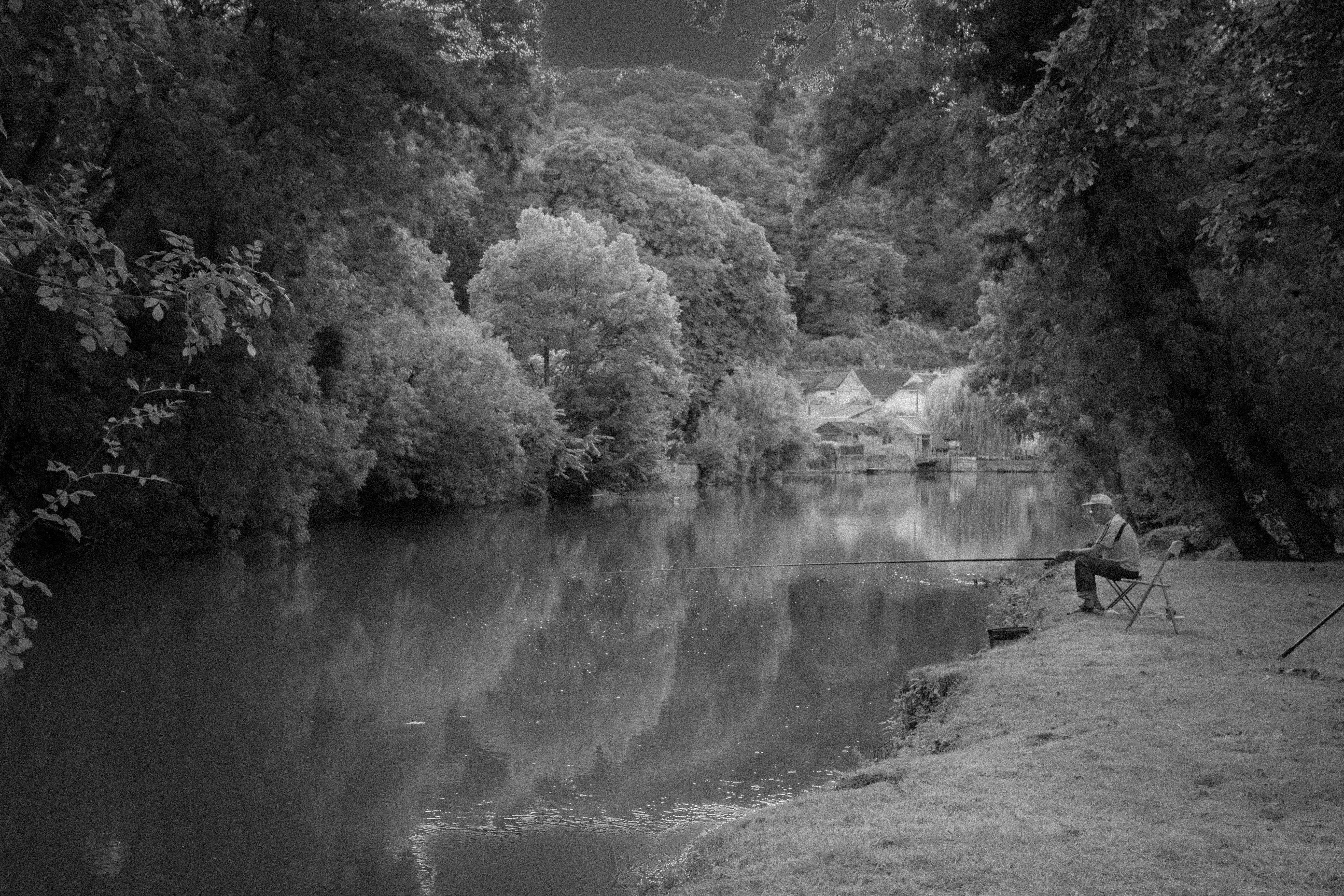
Le Pêcheur De La Chartre-sur-le-Loir

20101030_17-22-01
14 avril 2013 _DSC5009.jpg

Le Loir
CHATEAU LAVALIERRE (8)
100910 campsite Mayet

20101030_18-02-24
La Thibaud
La Thibaud
Topographic Map of Montabon, France
Find elevation by address:

Places in Montabon, France:
Places near Montabon, France:
8 Rue des Caves, Montabon, France
1 Les Suhardières, Marigné-Laillé, France
1 Rue du Chemin Vert, Château-la-Vallière, France
Château-la-vallière
1 Rue Principale, Ruillé-sur-Loir, France
Ruillé-sur-loir
Cléré-les-pins
1 Pl. de l'Eglise, Clère-les-Pins, France
A28
Beaumont-la-ronce
19 Route de la Vallée des Traits, Luynes, France
Saint-antoine-du-rocher
La Chapelle-gaugain
1 Rue du Château, La Chapelle-Gaugain, France
5 Route des Etangs, Cinq-Mars-la-Pile, France
7 Verneuil, Beaumont-la-Ronce, France
Luynes
Cinq-mars-la-pile
Fondettes
Langeais
Recent Searches:
- Elevation of Corso Fratelli Cairoli, 35, Macerata MC, Italy
- Elevation of Tallevast Rd, Sarasota, FL, USA
- Elevation of 4th St E, Sonoma, CA, USA
- Elevation of Black Hollow Rd, Pennsdale, PA, USA
- Elevation of Oakland Ave, Williamsport, PA, USA
- Elevation of Pedrógão Grande, Portugal
- Elevation of Klee Dr, Martinsburg, WV, USA
- Elevation of Via Roma, Pieranica CR, Italy
- Elevation of Tavkvetili Mountain, Georgia
- Elevation of Hartfords Bluff Cir, Mt Pleasant, SC, USA