Elevation of Montée des Chevreuils, Chute-Saint-Philippe, QC J0W 1A0, Canada
Location: Canada > Québec > Antoine-labelle Regional County Municipality > Chute-saint-philippe >
Longitude: -75.223282
Latitude: 46.5940735
Elevation: 271m / 889feet
Barometric Pressure: 98KPa
Elevation Map:
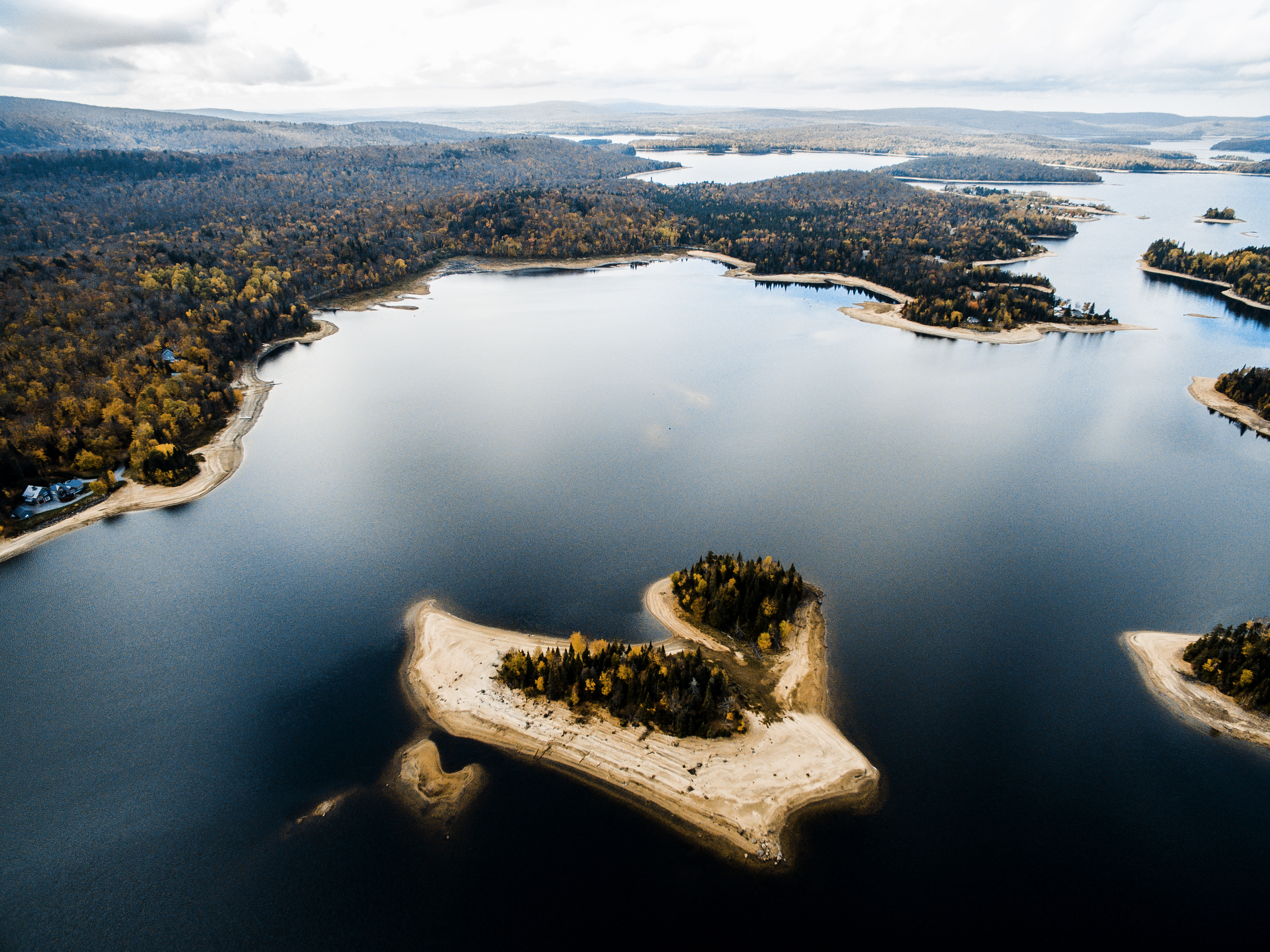
Satellite Map:
Related Photos:
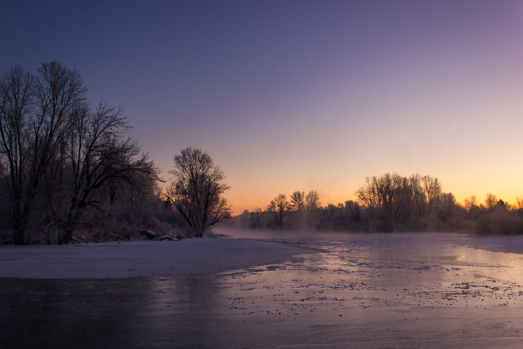
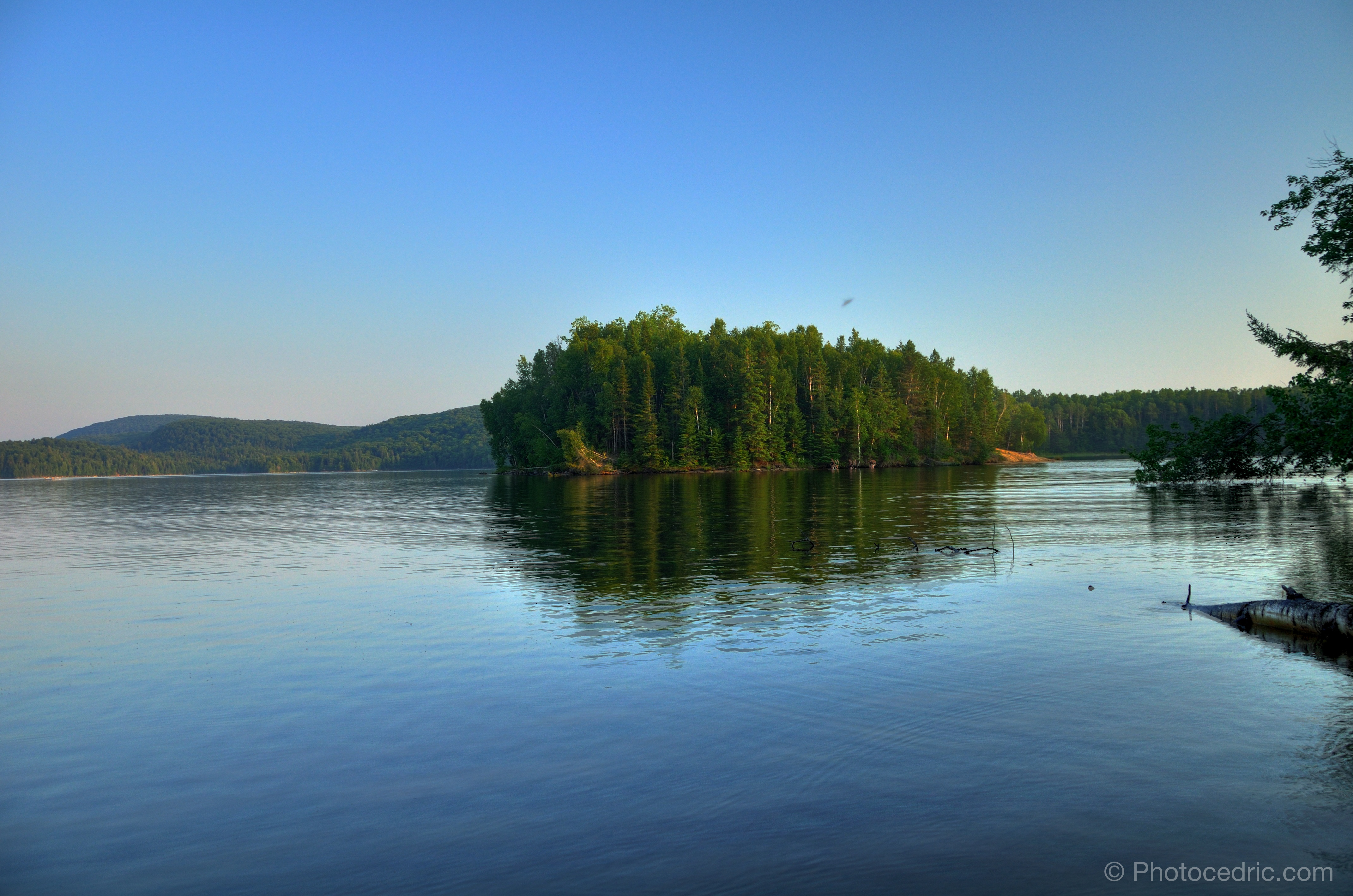
Aube glaciale - Frozen Dawn
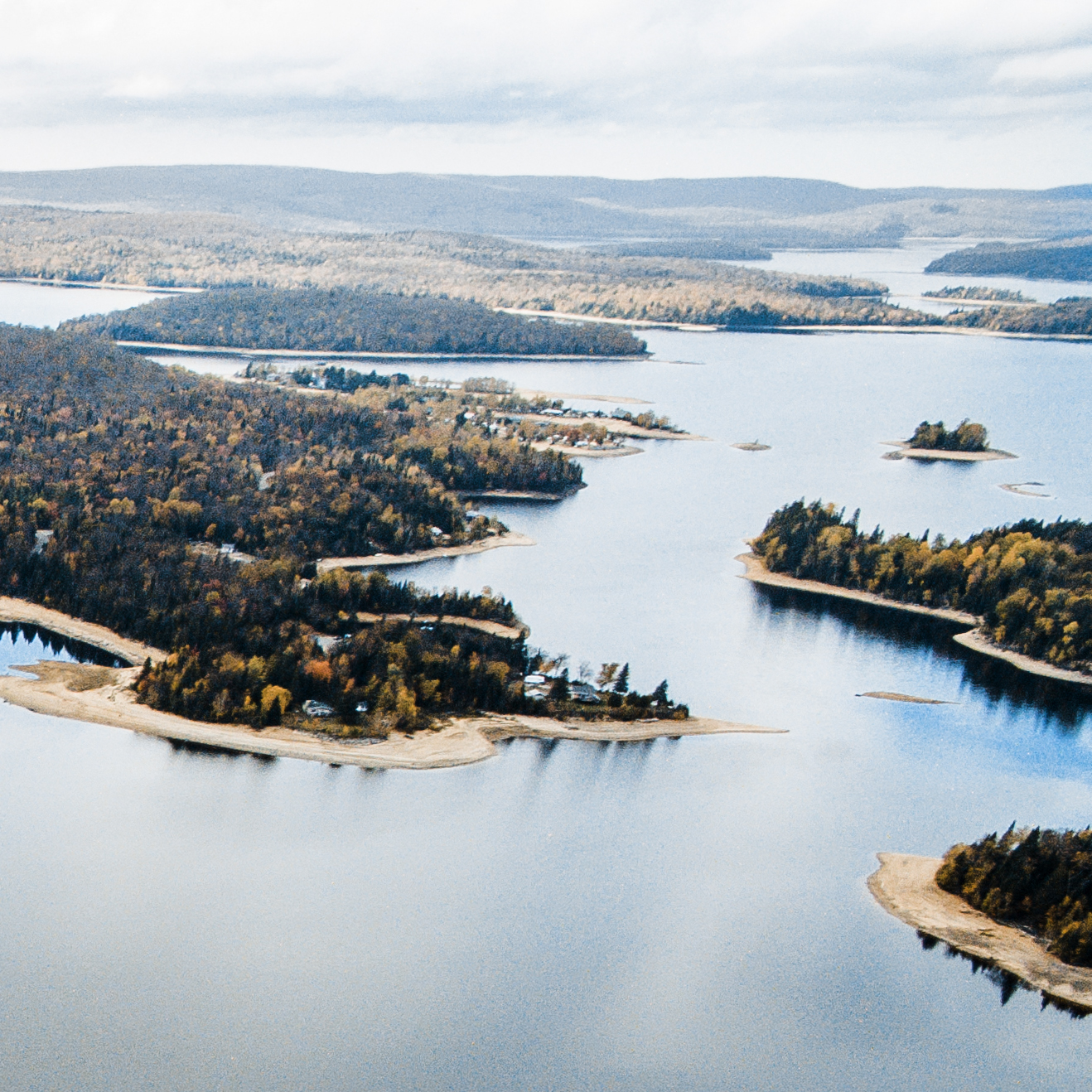
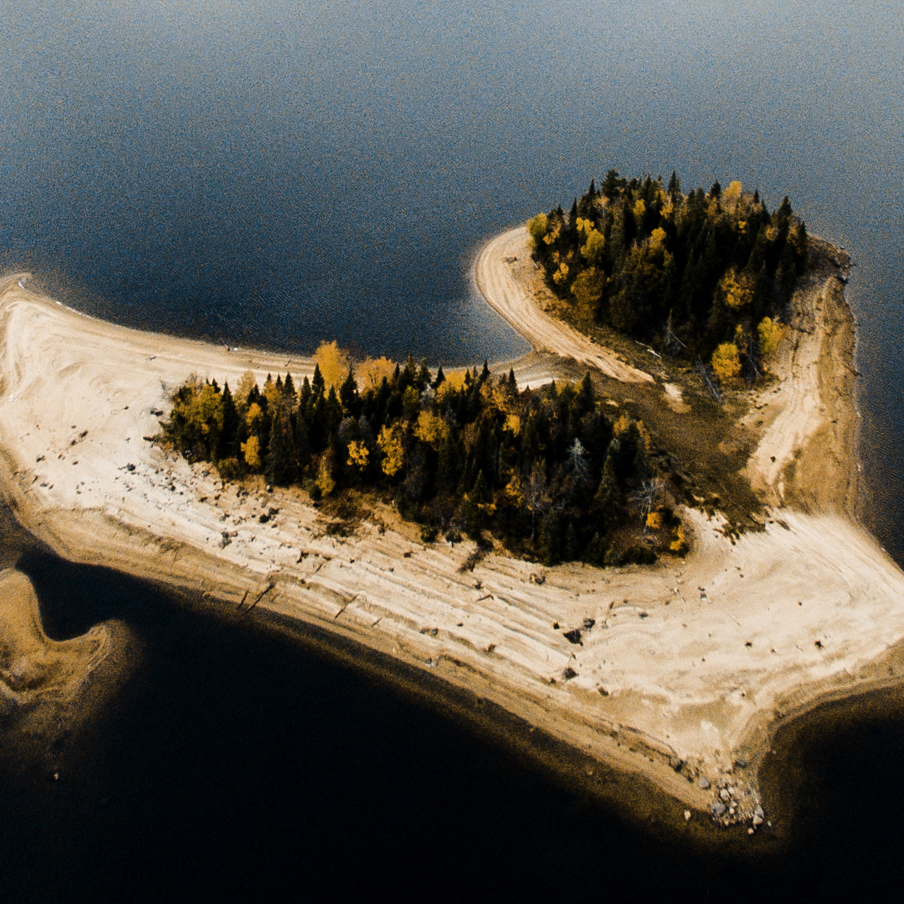
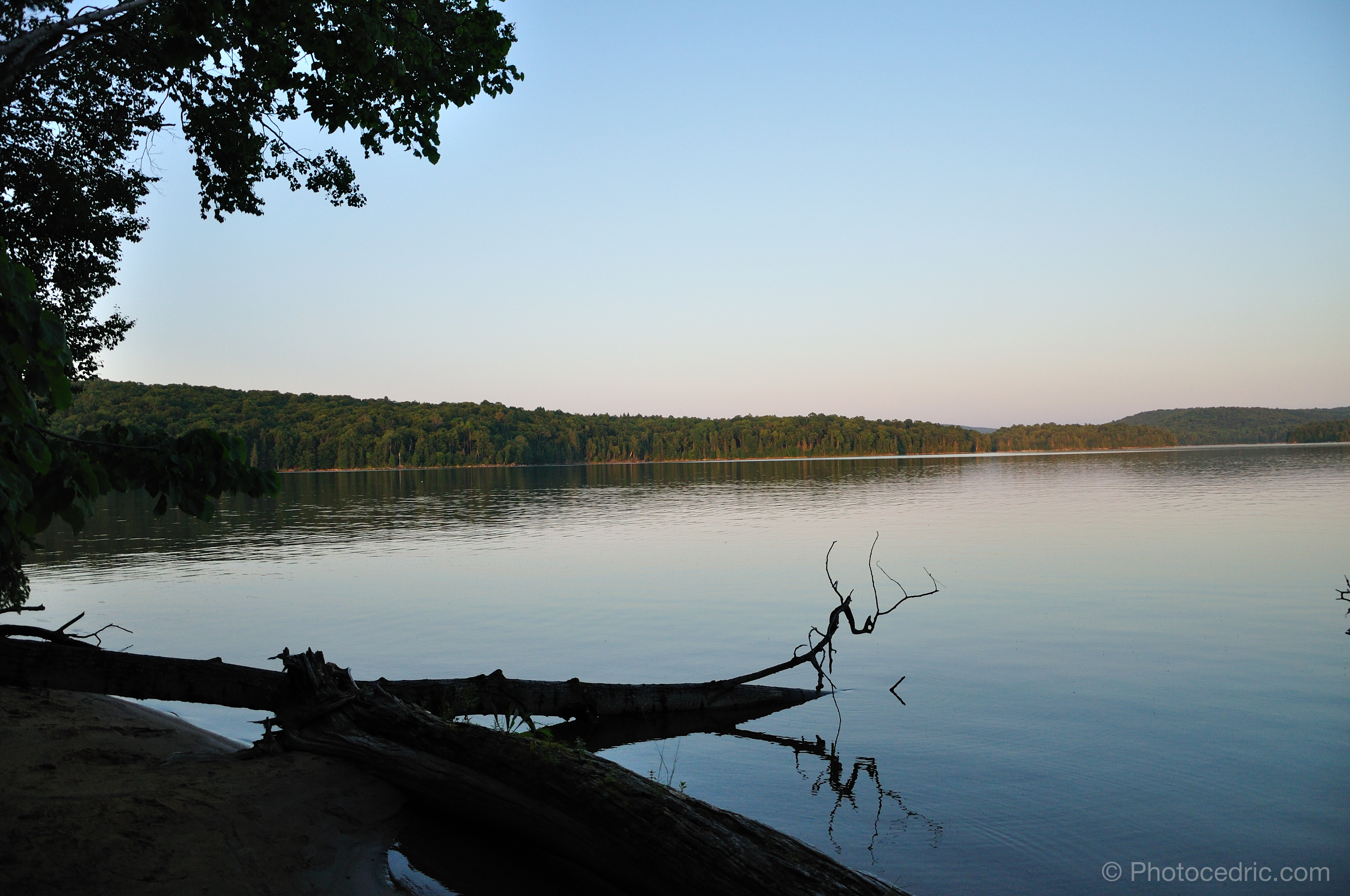
L'ile 4
L'ile 6
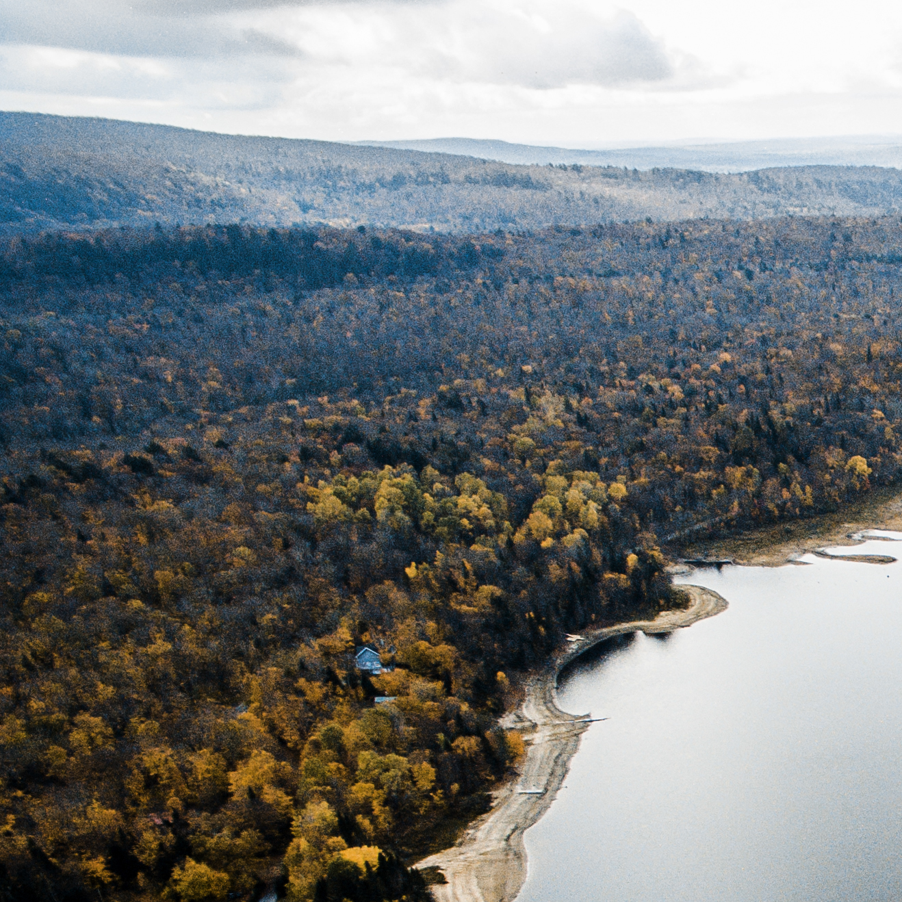
chalet ben reedit-2
L'ile 2
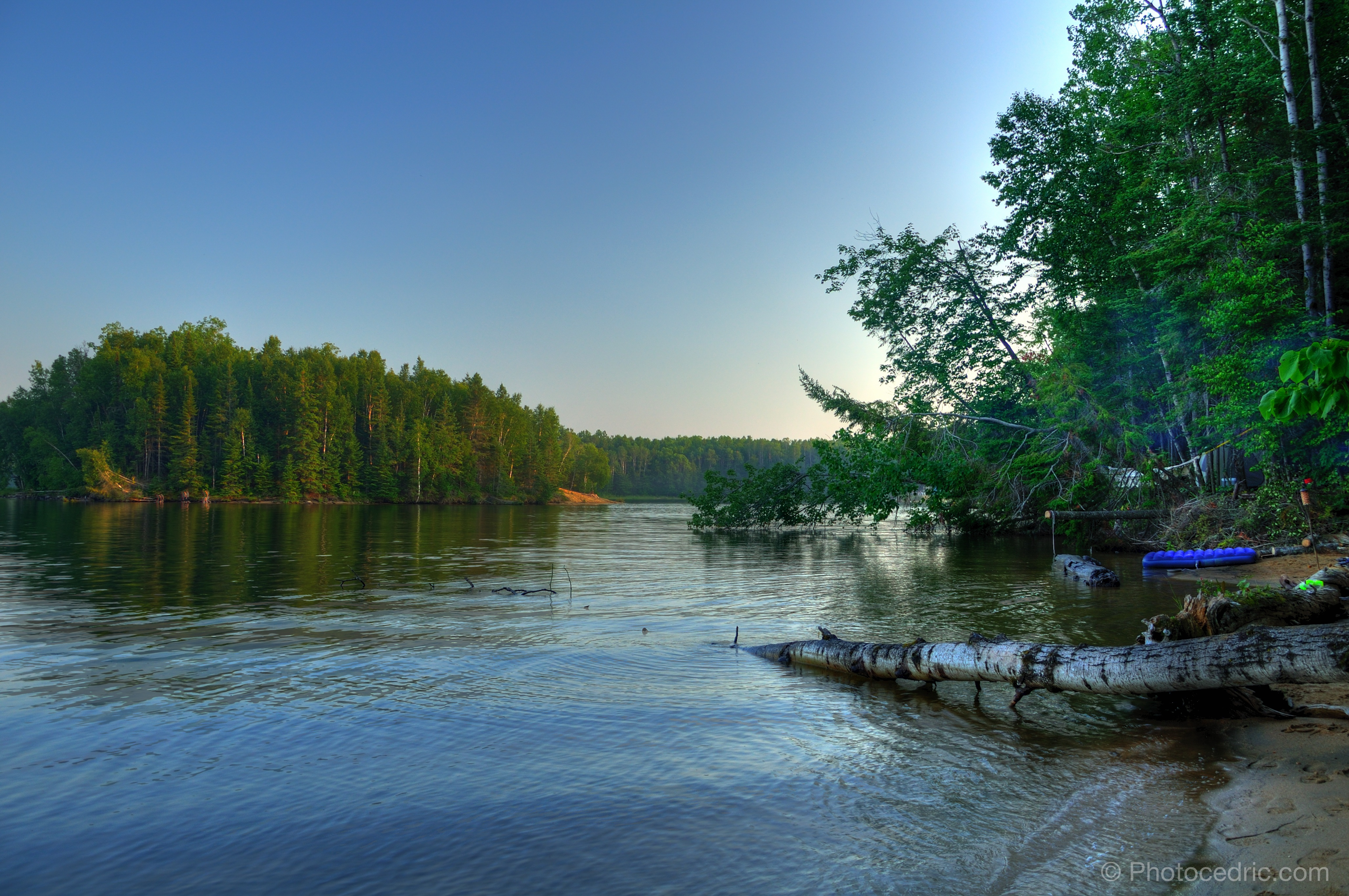
camping--2.jpg
chalet ben projet 1 split-3
camping--3.jpg
camping-.jpg
camping-1808.jpg
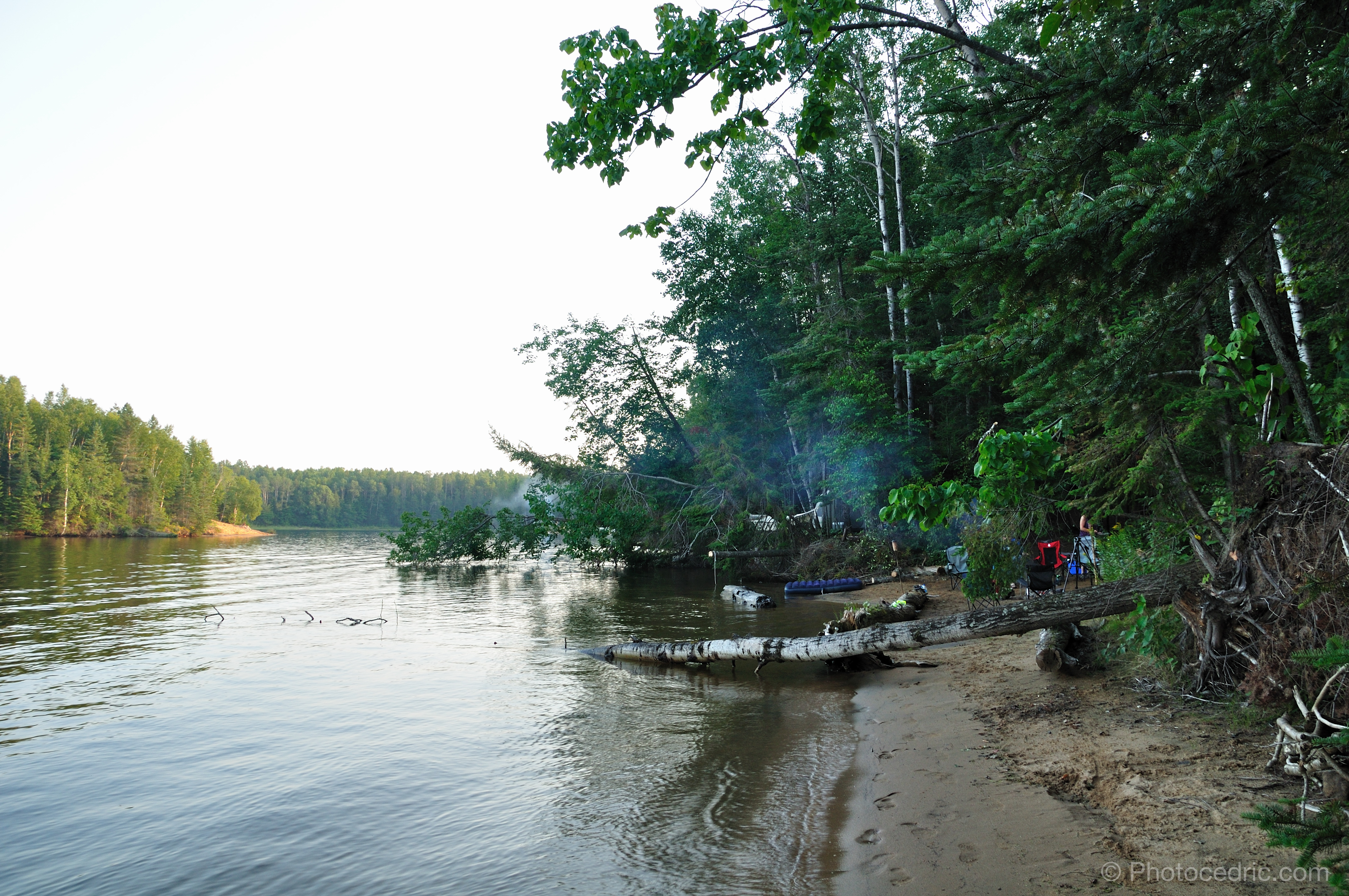
camping-1915.jpg
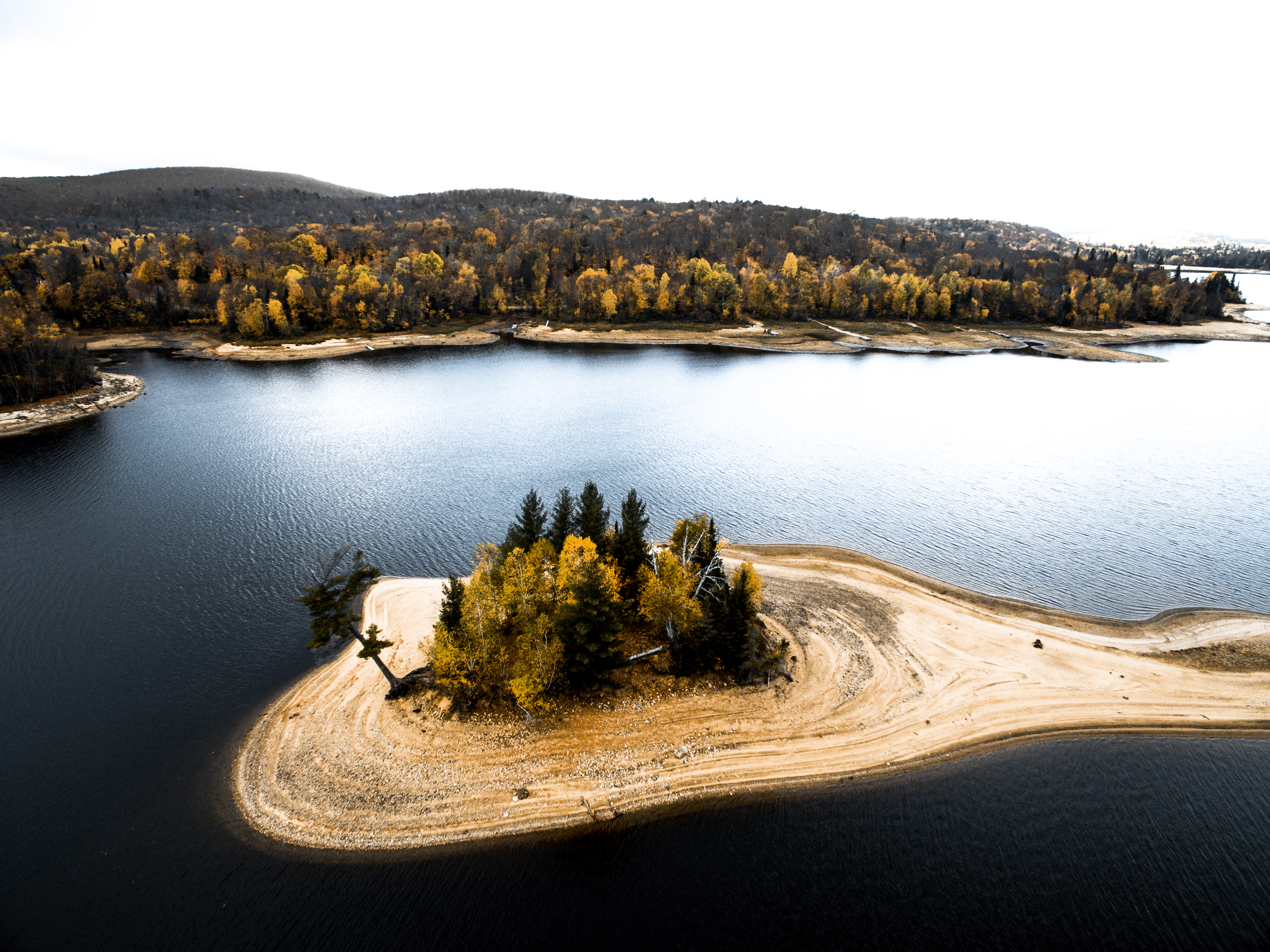
L'ile up-down-2
chalet ben reedit-3

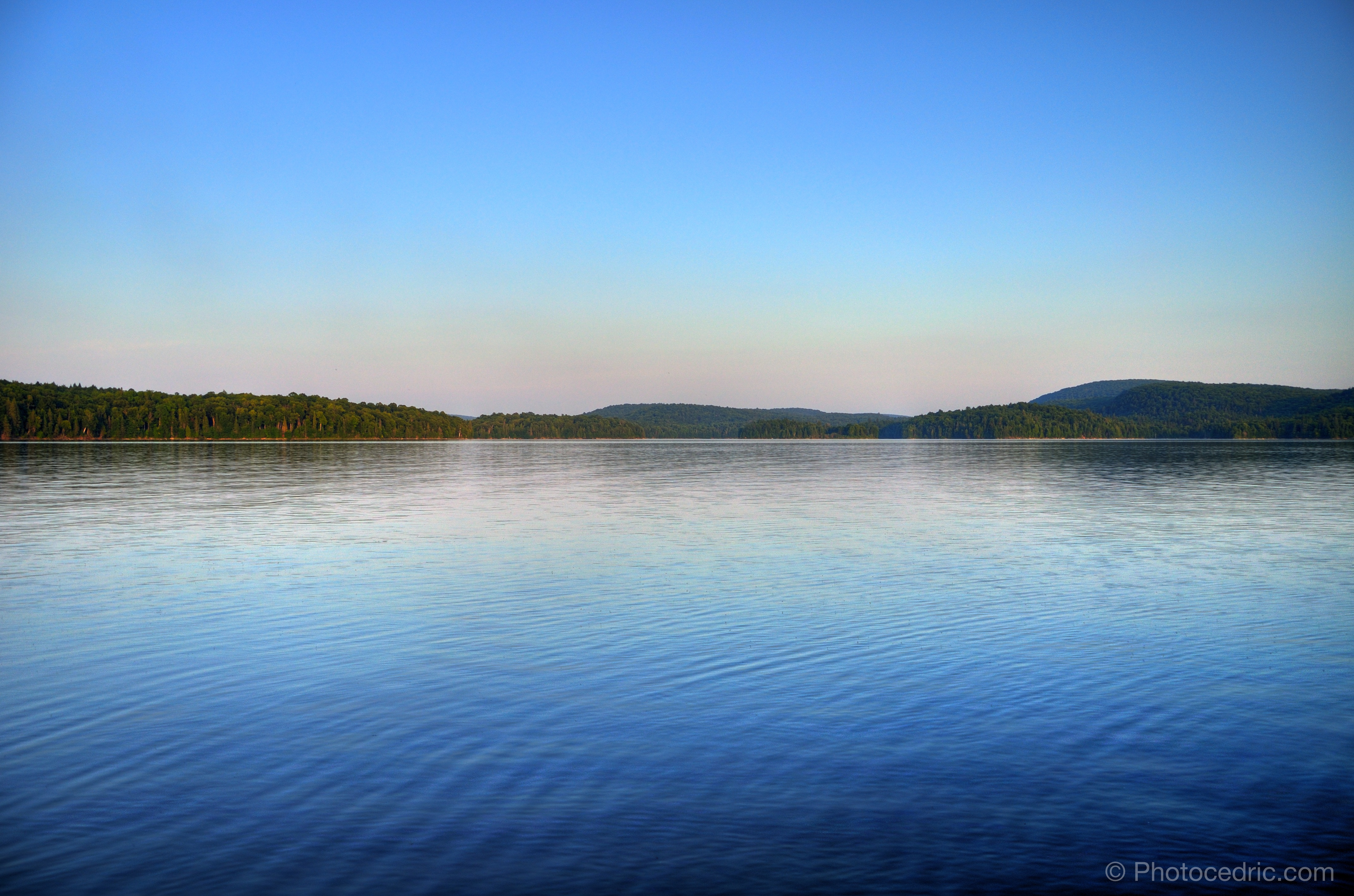
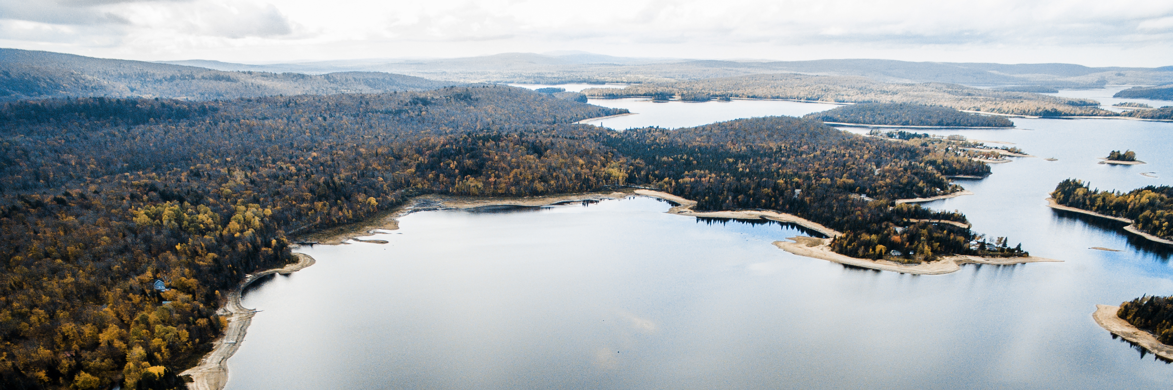
Lac-Saguay

Lac-Saguay
Topographic Map of Montée des Chevreuils, Chute-Saint-Philippe, QC J0W 1A0, Canada
Find elevation by address:

Places near Montée des Chevreuils, Chute-Saint-Philippe, QC J0W 1A0, Canada:
651 Montée Des Chevreuils
Chute-saint-philippe
Beaux-rivages
Chemin Des 5 Et 6 Rang
17 Chemin Kahle
1132 Chemin Du Progrès
Lac-saguay
Trans-Canada Hwy, Lac-Saguay, QC J0W 1L0, Canada
40 Chemin Du Lac St Onge
Lac-des-Écorces
Boulevard Saint François S, Lac-des-Écorces, QC J0W 1H0, Canada
Lac-saint-paul
Val-barrette
74 Chemin Des Pionniers
89 Chemin Du Pérodeau
89 Chemin Du Pérodeau
89 Chemin Du Pérodeau
Chemin du Lac Bélanger, Rivière-Rouge, QC J0T 1T0, Canada
Chemin Du Lac Kiamika
Kiamika Regional Park
Recent Searches:
- Elevation of Corso Fratelli Cairoli, 35, Macerata MC, Italy
- Elevation of Tallevast Rd, Sarasota, FL, USA
- Elevation of 4th St E, Sonoma, CA, USA
- Elevation of Black Hollow Rd, Pennsdale, PA, USA
- Elevation of Oakland Ave, Williamsport, PA, USA
- Elevation of Pedrógão Grande, Portugal
- Elevation of Klee Dr, Martinsburg, WV, USA
- Elevation of Via Roma, Pieranica CR, Italy
- Elevation of Tavkvetili Mountain, Georgia
- Elevation of Hartfords Bluff Cir, Mt Pleasant, SC, USA