Elevation of Monsanto Rd, Guntersville, AL, USA
Location: United States > Alabama > Marshall County > Guntersville >

Longitude: -86.18999

Latitude: 34.4377629

Elevation: 211m / 692feet

Barometric Pressure: 99KPa

Elevation Map:

elevation map of Monsanto Rd, Guntersville, AL, USA
Satellite Map:

Satellite map of Monsanto Rd, Guntersville, AL, USA
Related Photos:

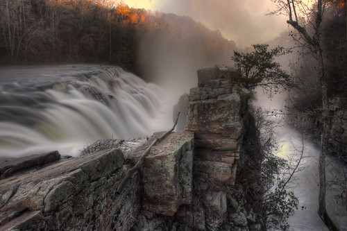
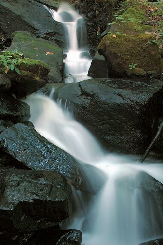
park creek canon river waterfall rocks stream flood stage alabama scenic waterfalls area usm powerful geraldine ef 1740mm torrent raging highfalls 227 canon1740mmf4l northalabama f4l towncreek 40d
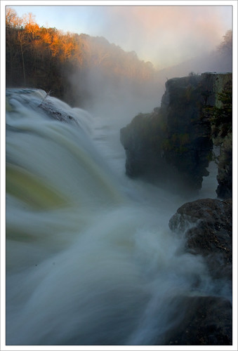
Mist & Sunlight on Town Creek
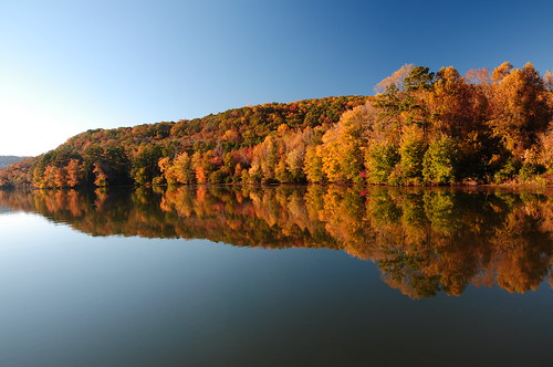
road county trip morning travel family autumn trees friends light sky plants usa mountain plant mountains reflection nature water america creek river geotagged fun al nikon day outdoor 5 plateau tennessee grant united unitedstatesofamerica alabama jackson marshall foliage clear explore american valley 314 marco states appalachian honeycomb geotag 2009 cumberland backwater d90 marshallcounty southernbreeze sooc tjb nikond90 291ininterestingnesson20091029 303ininterestingnesson20091029 oct292009336 189ininterestingnesson20091029 highestposition143onmondaynovember22009
Honeycomb #Creek, backwater of the #Tennesee #River, near #Guntersville, #Alabama - h787 #Explore
park lake waterfall state alabama hdr 227 guntersville photomatix
The 227 in August
Calendar Correction
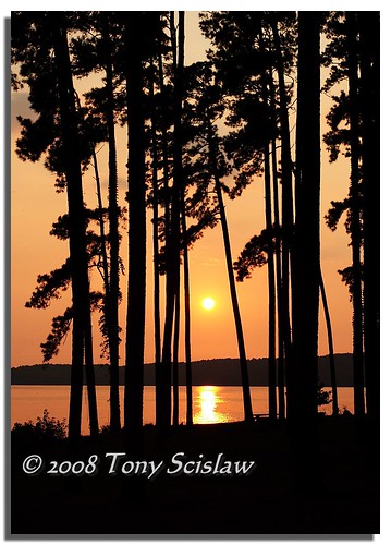
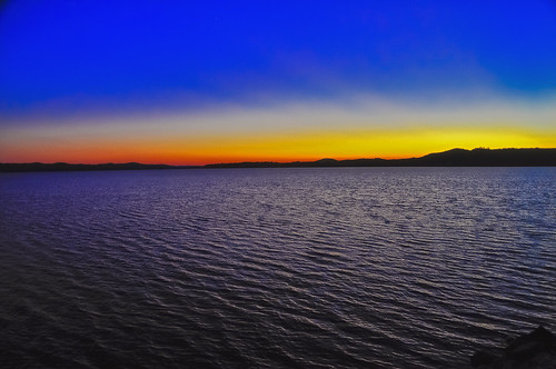
park trees sunset lake silhouette state alabama guntersville
Lake Sunset
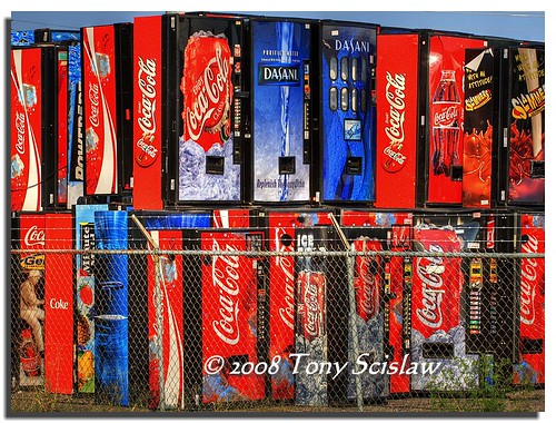
alabama machine coke soda hdr guntersville 3xp photmatix
Old Coke's Home
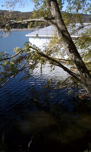
vacation
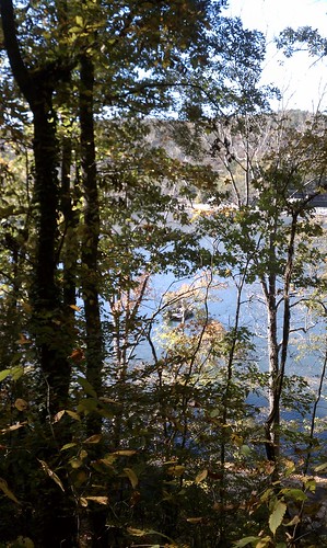
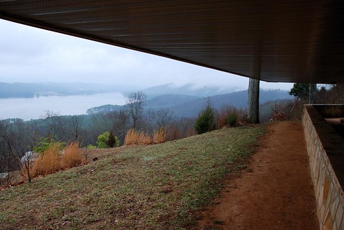
Cabin lake view
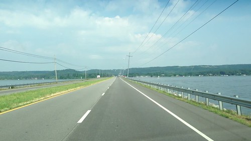
morning usa apple water car river movie geotagged drive video al day unitedstates tn i5 tennessee alabama fathersday ios geotag iphone guntersville southernbreeze gsv 2013
Crossing the Causeway - m4458
vacation
Cabin lake view
wood old usa storm tree church parish america geotagged al oak catholic united unitedstatesofamerica american damage april states southeast winds tornado geotag pinoak 3gs 2010 iphone downed guntersville tornadic felled southernbreeze gsv stwilliam freecordwoodforthetakingyall bringyourchainsawsmen stwilliamcatholicparish
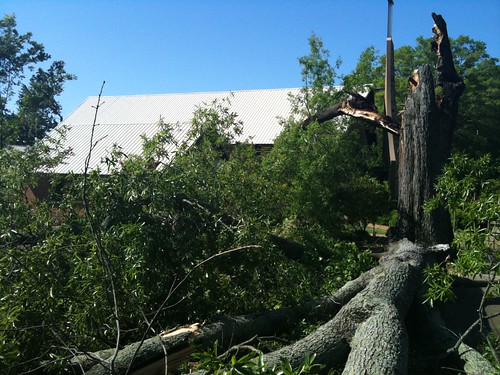
Felled Pin Oak, St. William Catholic Parish, Guntersville, AL - A2510 hi10
cathedral alabama limestone cave caverns cavern marshallcounty cathedralcaverns kennamercove
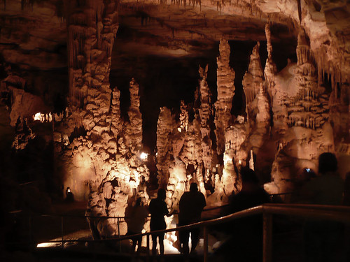
cathedral caverns view
lake outdoors cabin view weekend alabama guntersville
IMG_3957.JPG
vacation
Cabin lake view
square squareformat normal iphoneography instagramapp uploaded:by=instagram foursquare:venue=4da0cc12b3e7236a3bc9fb78
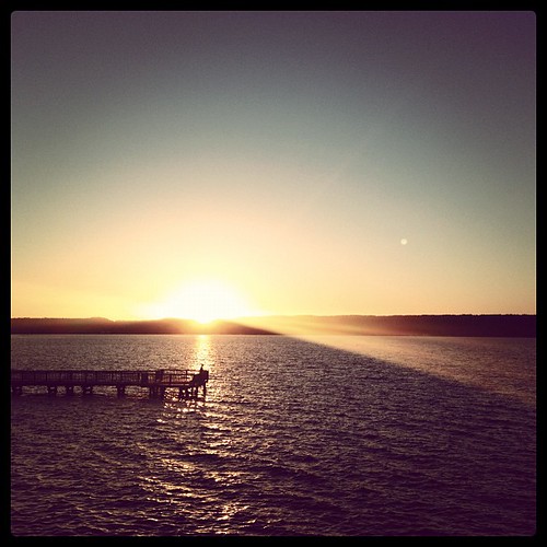
No filter. My view right now! So so #beautiful #lake #sunset
blue water landscape boat alabama lakeguntersville
Lake Guntersville
lake outdoors cabin view weekend alabama guntersville
IMG_3959.JPG
lake outdoors cabin view weekend alabama guntersville
IMG_3961.JPG
lake storm wet view alabama lodge guntersville
Lake Guntersville
lake outdoors cabin view weekend alabama guntersville
IMG_3960.JPG
lake outdoors cabin view weekend alabama guntersville
IMG_3963.JPG
lake outdoors cabin view weekend alabama guntersville
IMG_3964.JPG
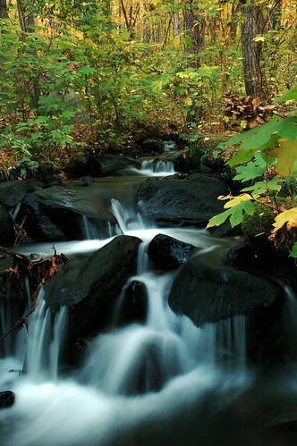
longexposure autumn trees nature water forest waterfall alabama dumbass cascade guntersville naturesfinest bamawester napg mywinners impressedbeauty aplusphoto ultimateshot superbmasterpiece
The Lower 227.
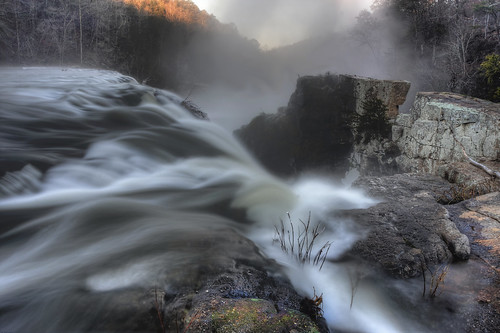
park county longexposure cold ice sunrise canon landscape eos landscapes waterfall slow country alabama waterfalls shutter 1740mm highfalls f4l towncreek 40d
The Existence of Angels
longexposure nature water waterfall rocks alabama cascade 227 bamawester napg abigfave anawesomeshot aplusphoto
Old Reliable, Too.
nature water waterfall bravo rocks alabama 227 guntersville magicdonkey bamawester napg mywinners anawesomeshot aplusphoto isuredowishihadmadphotoskillslikemyflickrfriendmikejonesphoto heismyidolandmentor iamsojelousofmikesobviouslysuperiorphotographyskills ohwelliguessilljustneverbeastalentedasmike whothehellismikejones onlyloserweirdosleavejackeduptagsonotherpeoplesphotosmike
More From the 227.
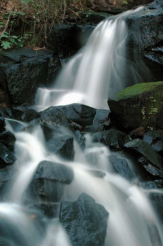
trees nature water forest waterfall rocks alabama waterblur 227 supershot bamawester napg 25faves impressedbeauty aplusphoto firsttheearth
Old Reliable.
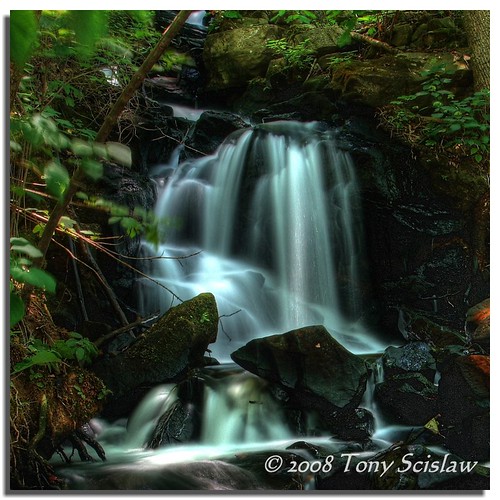
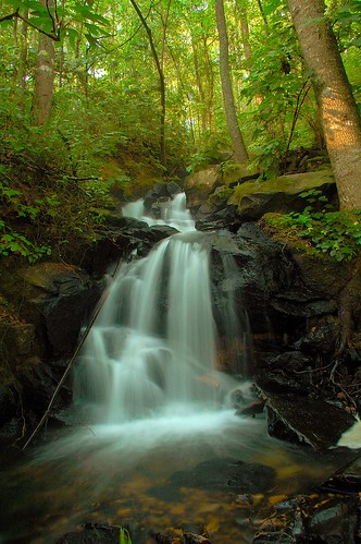
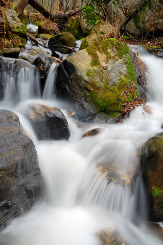
longexposure green nature water waterfall moss rocks alabama 227 guntersville naturesfinest bamawester napg impressedbeauty superbmasterpiece searchandreward
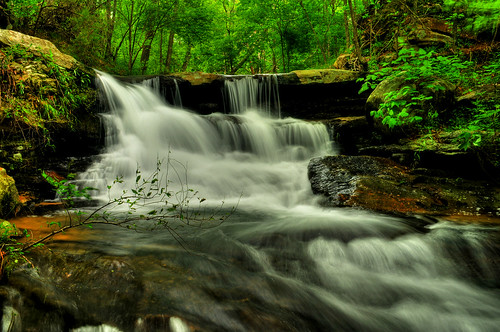
Cascades of the 227.
waterfall sandmountain marshallcounty highway227
227 Waterfall
nature colors architecture buildings river landscape landscapes nikon colours country alabama gadsden
Rapids and Red
blackandwhite mist water canon alabama falls waterfalls t4i alabamawaterfalls highfallspark alabamapictures
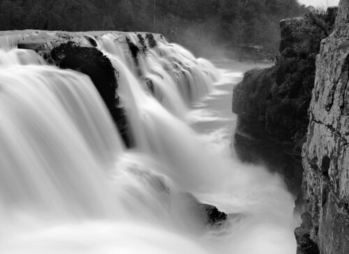
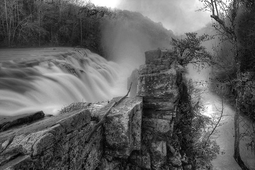
High Falls B @ W 2
hdr sandmountain highfalls dekalbcounty geraldinealabama
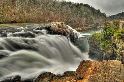
High Falls
nature water waterfall rocks alabama 227 bamawester napg aplusphoto
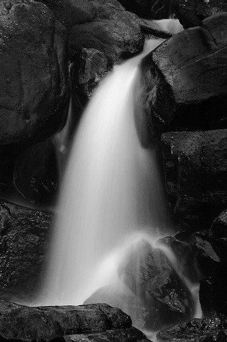
The 227 in B&W.
park mist water sunrise canon landscape landscapes waterfall rocks soft alabama falls waterfalls strong 40 1740mm count highfalls f4l towncreek dayuse napg tonybarber highway227
The Paradox
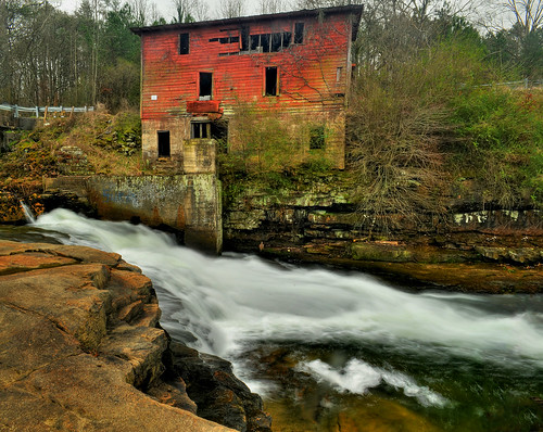
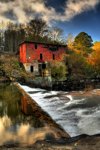
Red Mill
bridge winter cold ice creek canon river eos waterfall slow natural waterfalls shutter usm highfalls f4l slowwater towncreek tonybarber ef1740mm 40d
Sunrise at High Falls
hdr redmill marshallcounty albertvillealabama martlingroad scarhamcreek alabamawaterfallssandmountain
Red Mill
Return Of The 227
square squareformat brannan iphoneography instagramapp uploaded:by=instagram foursquare:venue=4e5e7d91aeb78833bb8d48a4
Pier:
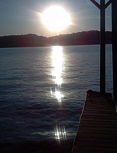
trip travel family autumn friends light sunset sky usa sun mountain lake mountains color reflection fall wet water silhouette night river t geotagged fun photography evening al nikon waves shine unitedstates north alabama lakes like photograph mpb ripples outline fin geotag nightfall t2 guntersville d90 southernbreeze gsv 2013 sooc cs5 nikond90
#Sunset on #Lake #Guntersville - h25
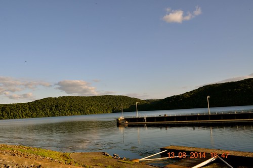
lake traveling stores guntersvilledam
2014 August 13 Guntersville Dam
square squareformat iphoneography instagramapp uploaded:by=instagram foursquare:venue=4e5e7d91aeb78833bb8d48a4
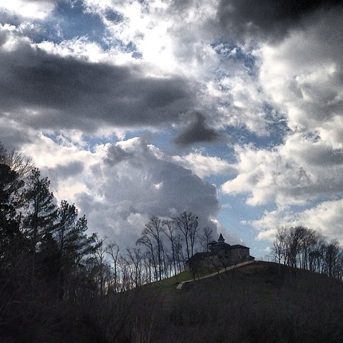
Castle: