Elevation of Monarch Mountain, Central Coast A, BC V0N, Canada
Location: Canada > British Columbia >
Longitude: -125.87611
Latitude: 51.8994444
Elevation: 3490m / 11450feet
Barometric Pressure: 66KPa
Elevation Map:
Satellite Map:
Related Photos:
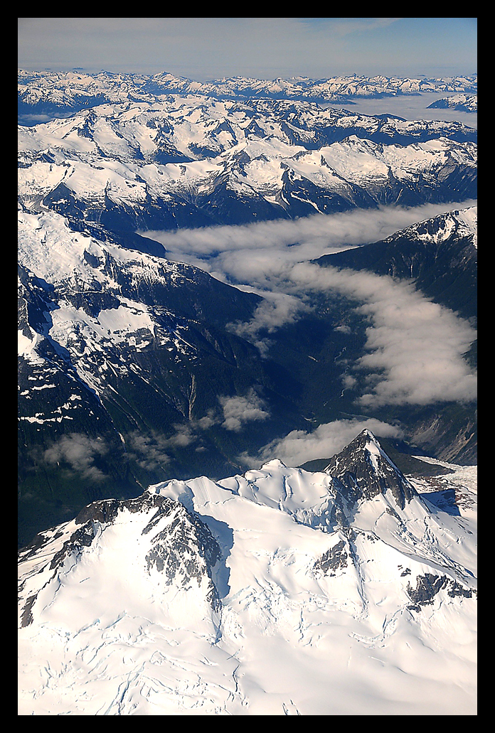
In the Distance
Topographic Map of Monarch Mountain, Central Coast A, BC V0N, Canada
Find elevation by address:

Places near Monarch Mountain, Central Coast A, BC V0N, Canada:
Cerberus Mountain
Mount Bohnet
Wilderness Mountain
Demeter Peak
Silverthrone Mountain
Mount Elfrida
Mount Willoughby
Mount Somolenko
Silverthrone Caldera
Mount Bell
Secret Peak
Mount Zeus
Mount Waddington
Mount Tiedemann
Mount Waddington A
Mount Munday
Whitemantle Mountain
Three Finger Peak
Recent Searches:
- Elevation of Corso Fratelli Cairoli, 35, Macerata MC, Italy
- Elevation of Tallevast Rd, Sarasota, FL, USA
- Elevation of 4th St E, Sonoma, CA, USA
- Elevation of Black Hollow Rd, Pennsdale, PA, USA
- Elevation of Oakland Ave, Williamsport, PA, USA
- Elevation of Pedrógão Grande, Portugal
- Elevation of Klee Dr, Martinsburg, WV, USA
- Elevation of Via Roma, Pieranica CR, Italy
- Elevation of Tavkvetili Mountain, Georgia
- Elevation of Hartfords Bluff Cir, Mt Pleasant, SC, USA