Elevation of Miyamae--4 Sobuechō Kanmaki, Inazawa-shi, Aichi-ken -, Japan

Location: Japan > Aichi Prefecture > Inazawa >

Longitude: 136.716830

Latitude: 35.2499737

Elevation: 6m / 20feet

Barometric Pressure: 101KPa

Elevation Map:

elevation map of Miyamae--4 Sobuechō Kanmaki, Inazawa-shi, Aichi-ken -, Japan

Satellite Map:

Satellite map of Miyamae--4 Sobuechō Kanmaki, Inazawa-shi, Aichi-ken -, Japan

Related Photos:

flower japan lotus finepix fujifilm aichi gettyimages tatsuta lotusflower aisaishi s6000fd lotusf sendohira kasenkoen
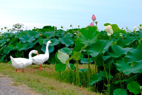
2011 Tatsuta Lotus S6000fd-221
square squareformat iphoneography instagramapp uploaded:by=instagram
#japan #trains #view #b&w
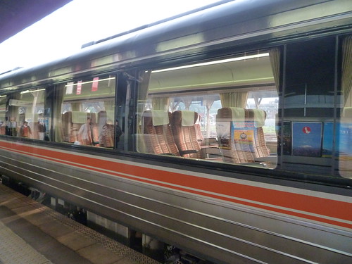
Tog med panoramavindu (Wide View Hida)
nikon hida tokaido jrcentral 東海道 東海道線 tokaidomainline jr東海 東海道本線 ワイドビューひだ ひだ キハ85 d7000 afsdxvrzoomnikkor1685mmf3556ged tokaidohonsen wideviewhida kiha85
20140201 Okuhida 1
blackandwhite bw signs japan sails explore 日本 岐阜 gifu 白黒 岐阜県 canon50d 70200mmf4isusm 岐阜市 50dcanon bwprocessingpractice
sails, of a sort
square toaster squareformat iphoneography instagramapp uploaded:by=instagram foursquare:venue=1131557
View from my Obentobako ;) #LifeIsGood
blackandwhite bw japan train iron highcontrast jr gifu rebar rivet ogaki converginglines 30mmsigmaf14 canon50d
Gifu bound
night explore cherryblossoms lantern f28 fullbloom canon50d 30mmf14sigma
cherry blossoms at night
View from a Shinkansen window
japan
View towards the mountain pass before Hikone
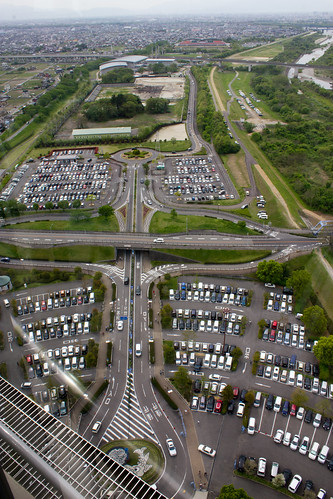
road park panorama tower car japan canon landscape eos rebel miniature high kiss arch view map parking twin panoramic aerial 1855mm aichi height x4 ichinomiya 138 550d t2i petertoshiro urasaki komyogi
At The Park: Miniature Car Land
japan finepix fujifilm gifu yoro takada hs10 養老 yorocho 養老町 takadafestival yorogun
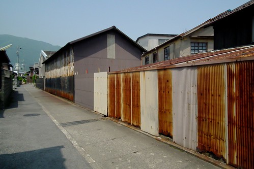
2011 Sake factory "Gyokusendo" (side view) -Takada Festival HS10-7
View of "Motivation Style (4-M.S.)" - Thursday, 28 July 2016 - 09:14 GMT+0900
伊吹山
view from a station
from shinkansen window 3
rolleiflex kodak 100 35 ektar 75mm tessar
Kamiotai [Explore]
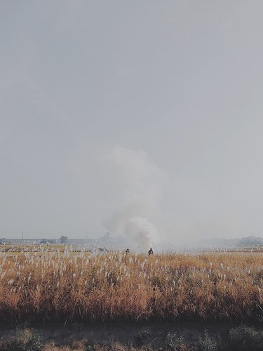
landscape farm burn smok iphone5 vsco vscocam uploaded:by=flickrmobile flickriosapp:filter=nofilter
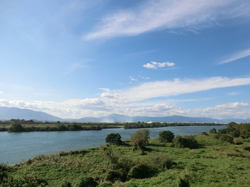
Heavy smokers.
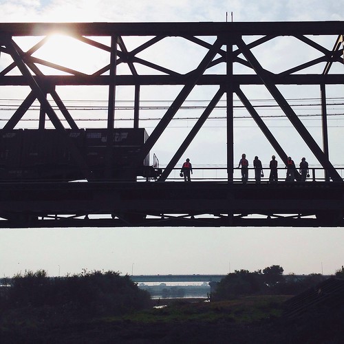
landscape riverside railway iphone5 vsco vscocam uploaded:by=flickrmobile flickriosapp:filter=nofilter
Workers.
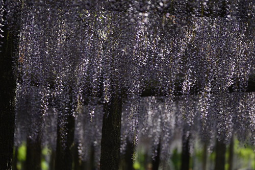
nikon wisteria 80400mm d4 端午の節句 こどもの日 藤 フジ ふじ 1424mm 津島市 d800e tangoday tushimacity
20130505-_DSC4275
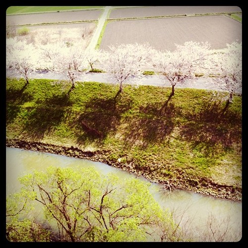
square squareformat hefe iphoneography instagramapp uploaded:by=instagram foursquare:venue=1131557
Ya están cayendo los Sakura :(
geotagged geo:lat=353718889 geo:lon=1368094444
DSCF6401.JPG
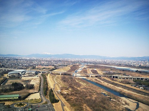
from 138 Arch Tower
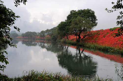
autumn red sky grass forest river landscape iphone5 vsco vscocam uploaded:by=flickrmobile flickriosapp:filter=nofilter
Red carpet.
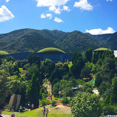
sky art nature forest artist 自然 moutain yoro アート 森 芸術
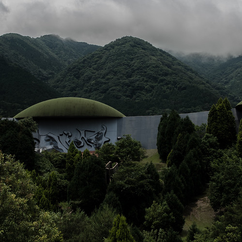
Yoro-cho, Gifu - Japan
blue red sky mountain flower nature japan sony a77 dt1650
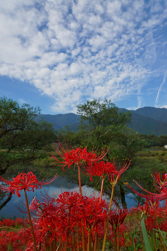
DSC06875.jpg
ef24mm14l
Yoro no Taki
japan nikon nagoya アジサイ 80400mm d4 2470mm 紫陽花 あじさい 江南市 d800e
20130615-_DSC4166
2012/08/19
square squareformat normal iphoneography instagramapp uploaded:by=instagram foursquare:venue=4e17a824b0fb8567c6655f43
五条川着いた!
nature landscape
Rural landscape
nature landscape
Rural landscape
flower sunflower 日本 花 向日葵 岐阜県 大垣市 20150809
向日葵
flower japan lotus finepix fujifilm aichi tatsuta lotusflower aisaishi s6000fd lotusf sendohira kasenkoen
2011 Tatsuta Lotus S6000fd-215
The Tuya River
square squareformat iphoneography instagramapp uploaded:by=instagram foursquare:venue=4bde2be9e75c0f470437c703
五感が刺激される!平衡感覚がおかしくなりそう✨✨✨

Topographic Map of Miyamae--4 Sobuechō Kanmaki, Inazawa-shi, Aichi-ken -, Japan

Find elevation by address:


Places near Miyamae--4 Sobuechō Kanmaki, Inazawa-shi, Aichi-ken -, Japan:

Recent Searches: