Elevation of Mitterberg 1, Haag Dorf, Austria
Location: Austria > Lower Austria > Amstetten District > Haag >
Longitude: 14.8809923
Latitude: 48.0924759
Elevation: 318m / 1043feet
Barometric Pressure: 98KPa
Elevation Map:
Satellite Map:
Related Photos:
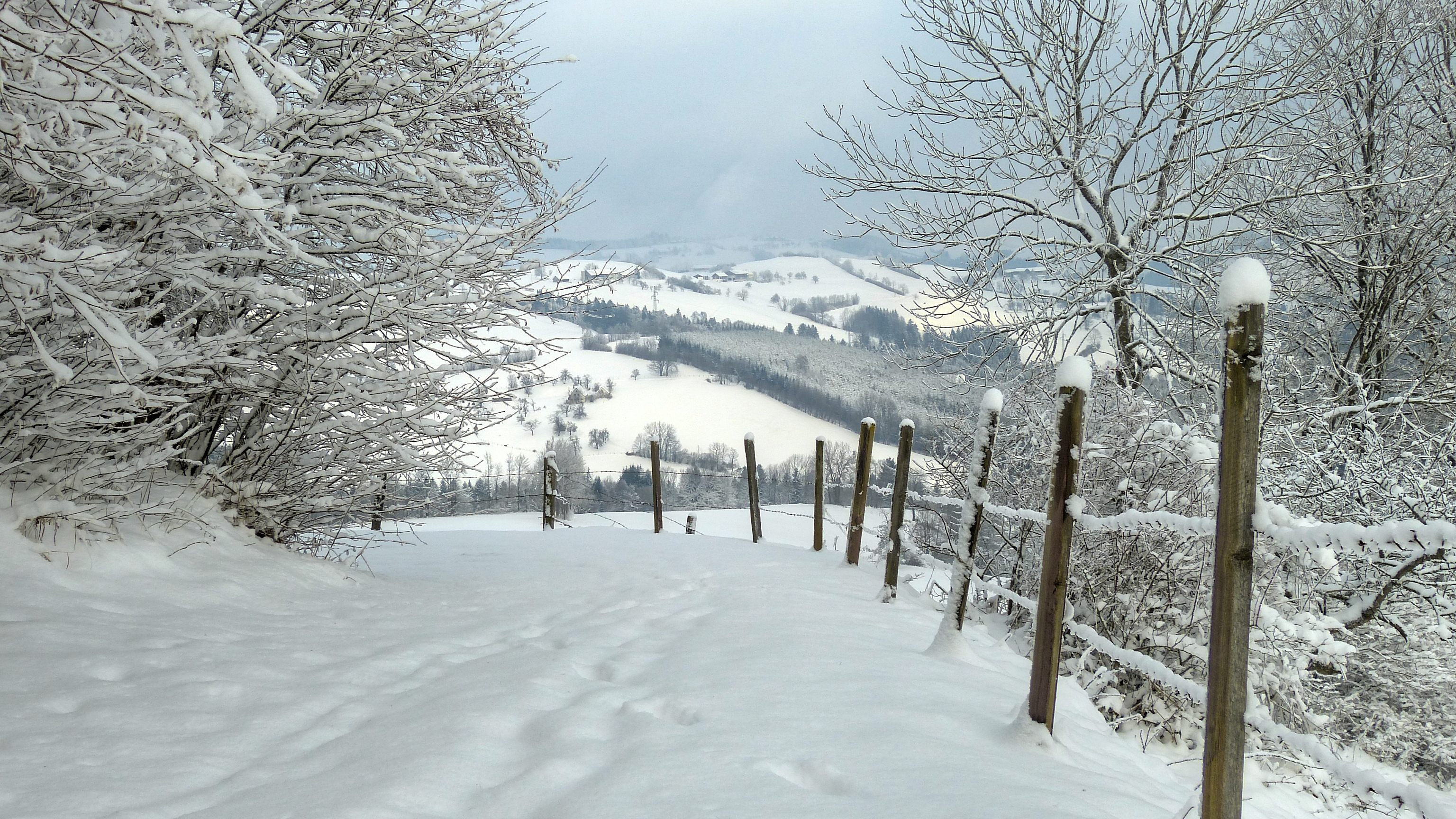
Winter wonderland

Electric Nature #05: Point of View

View to Wolfsbach

Electric Stars #01

Wide View

Old Power Station 2
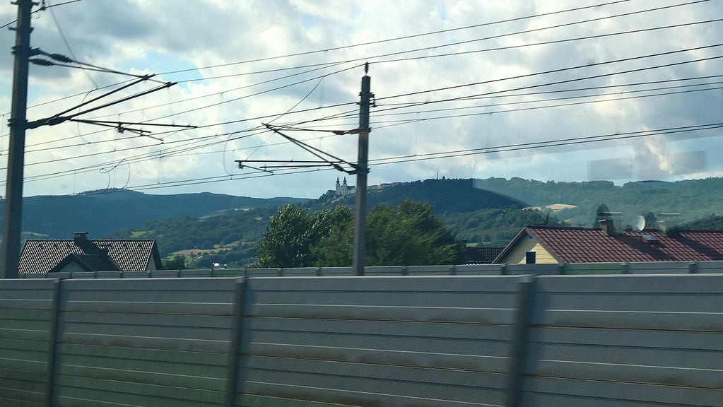
Heading to Vienna
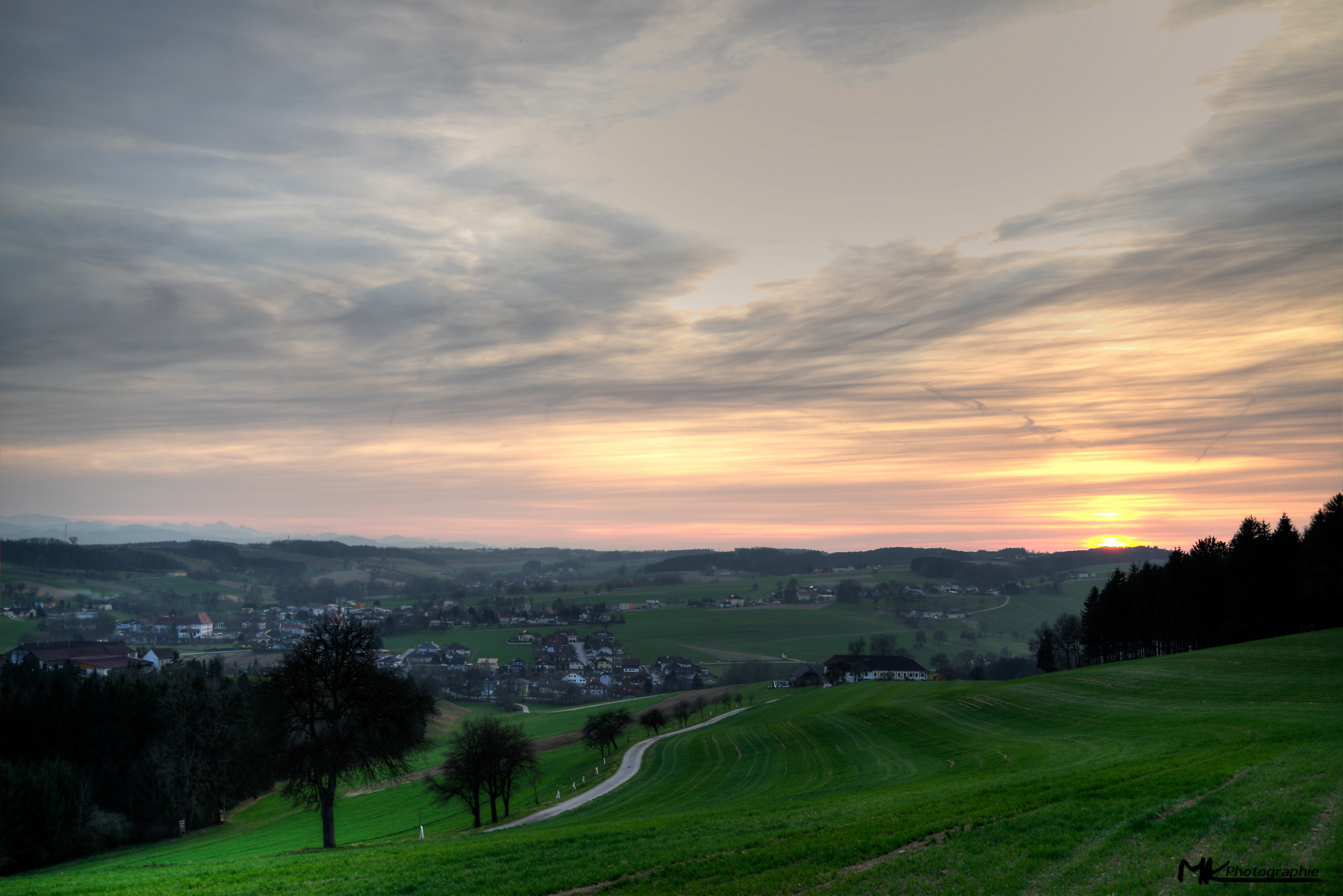
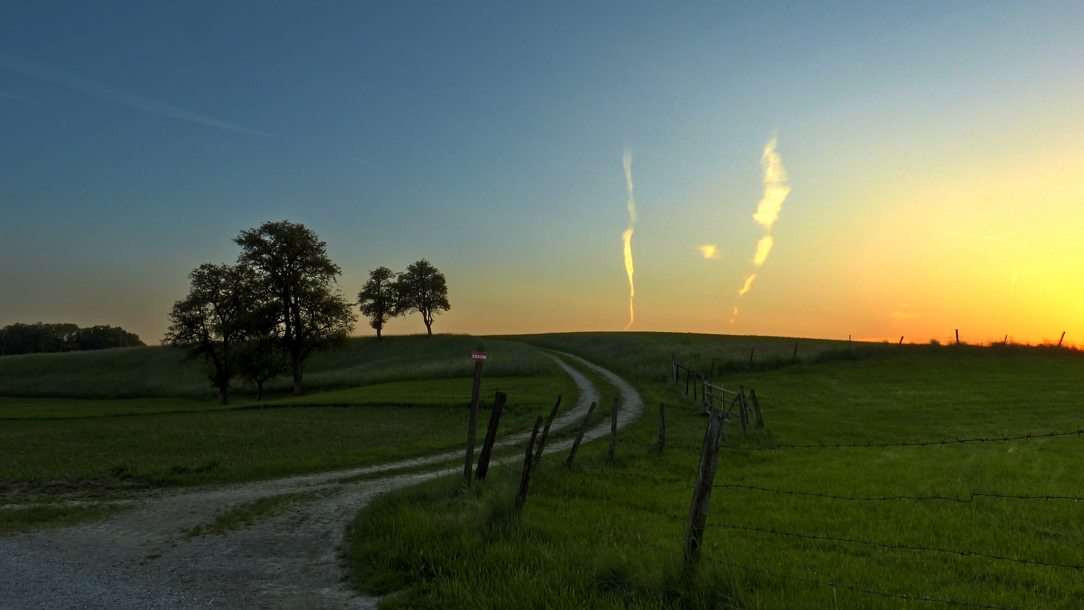
Sunset at the "Mostviertel" HDR
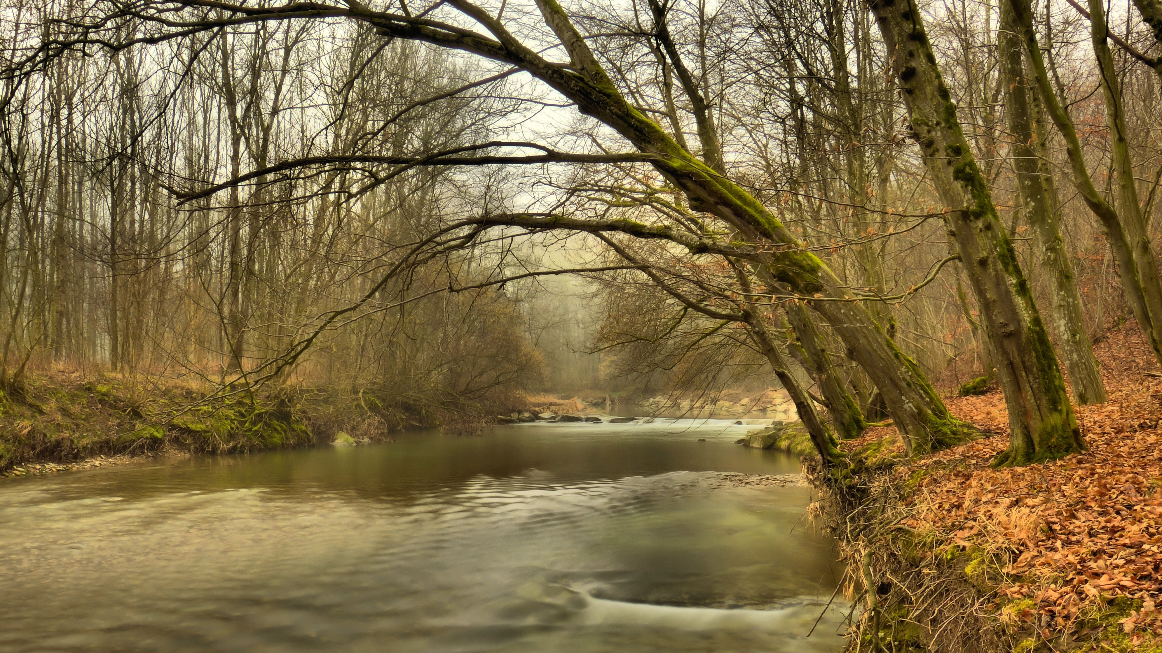
Waiting For Spring

Mystical Place

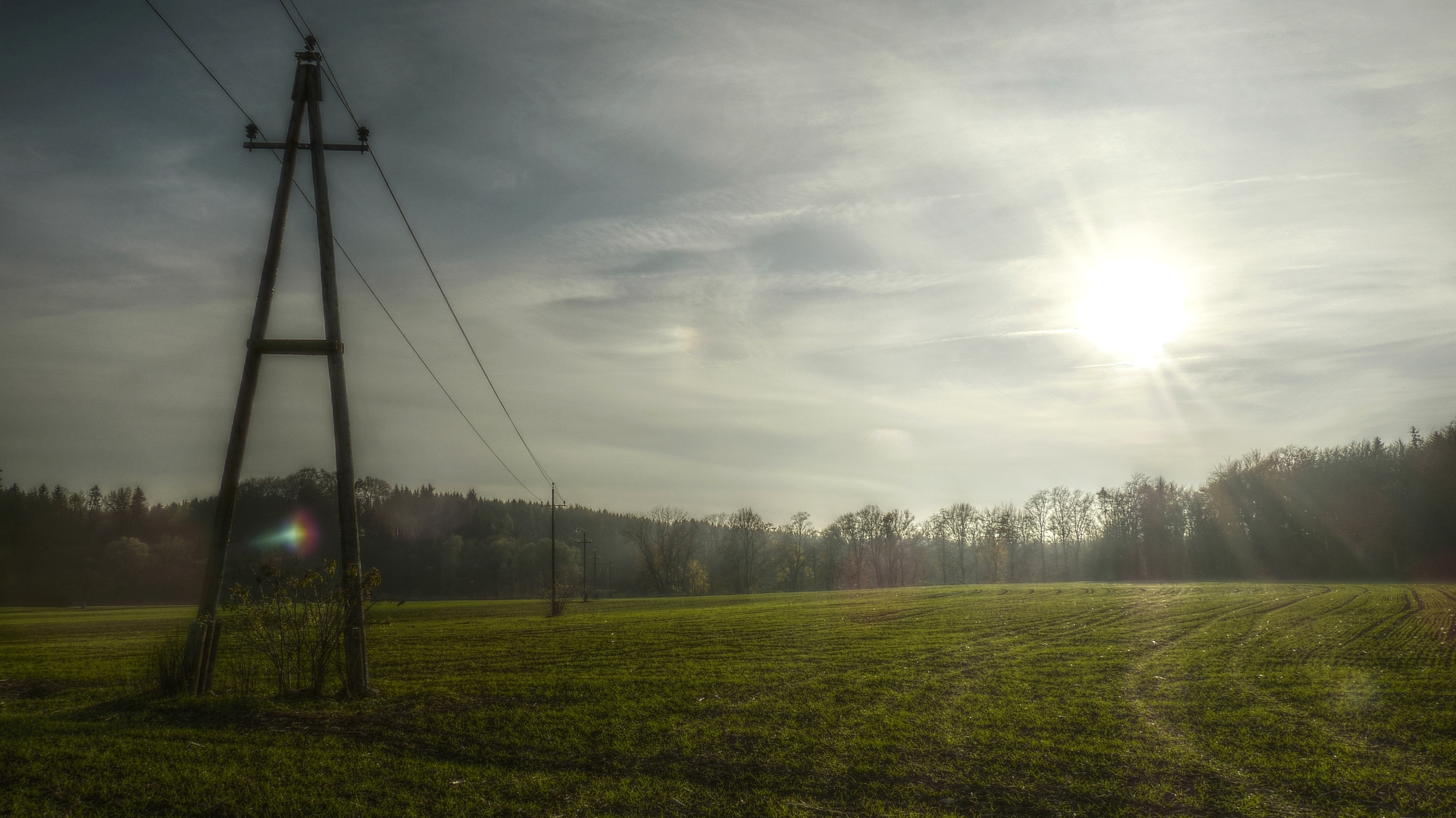
The Day Begins

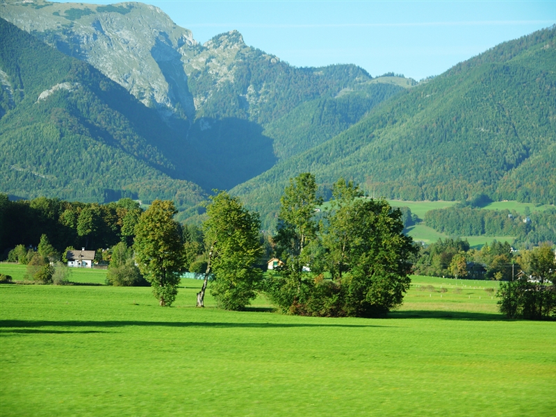
Summer Dream
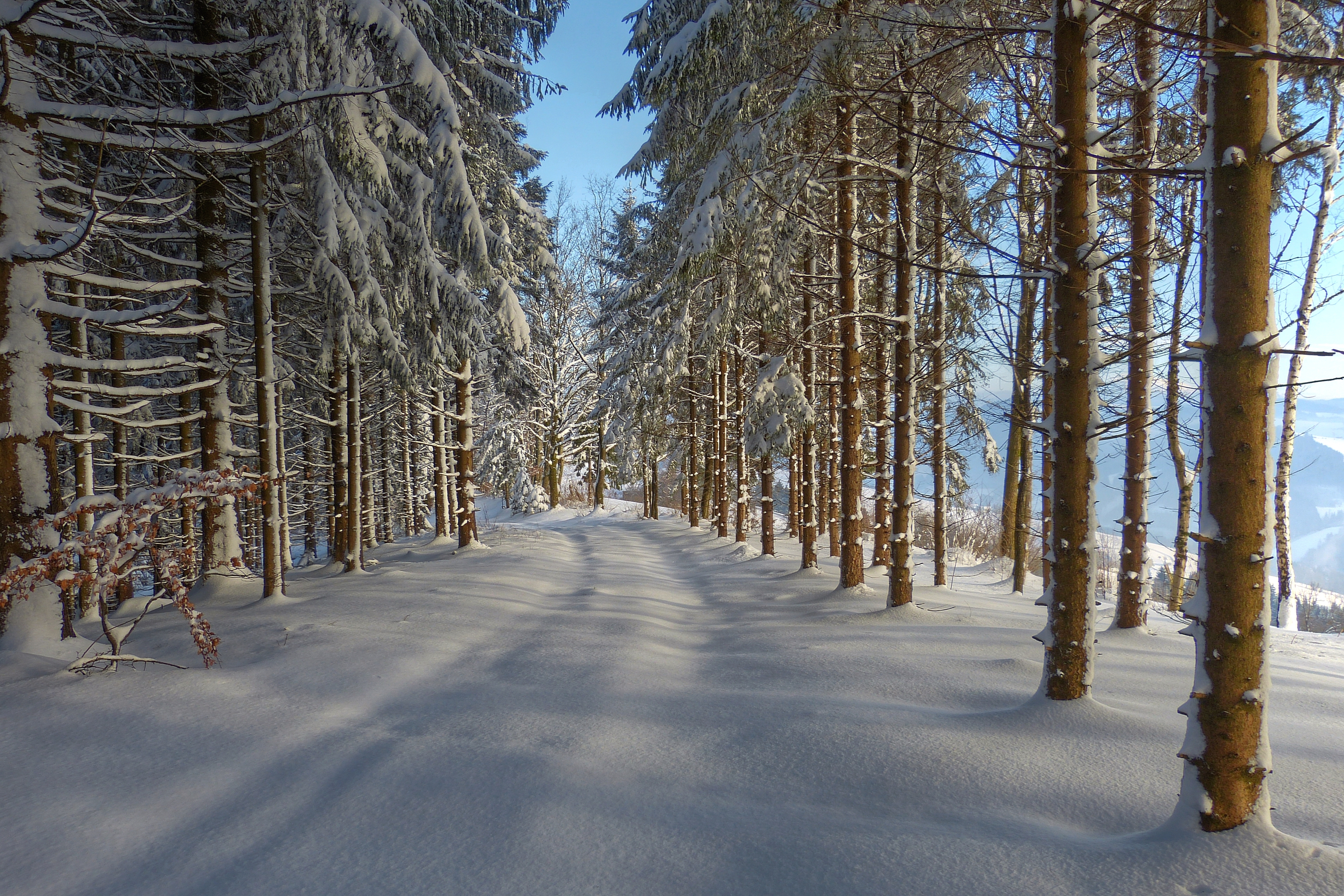
Winter Walk

Summer Dream #2
Evening Light
A III
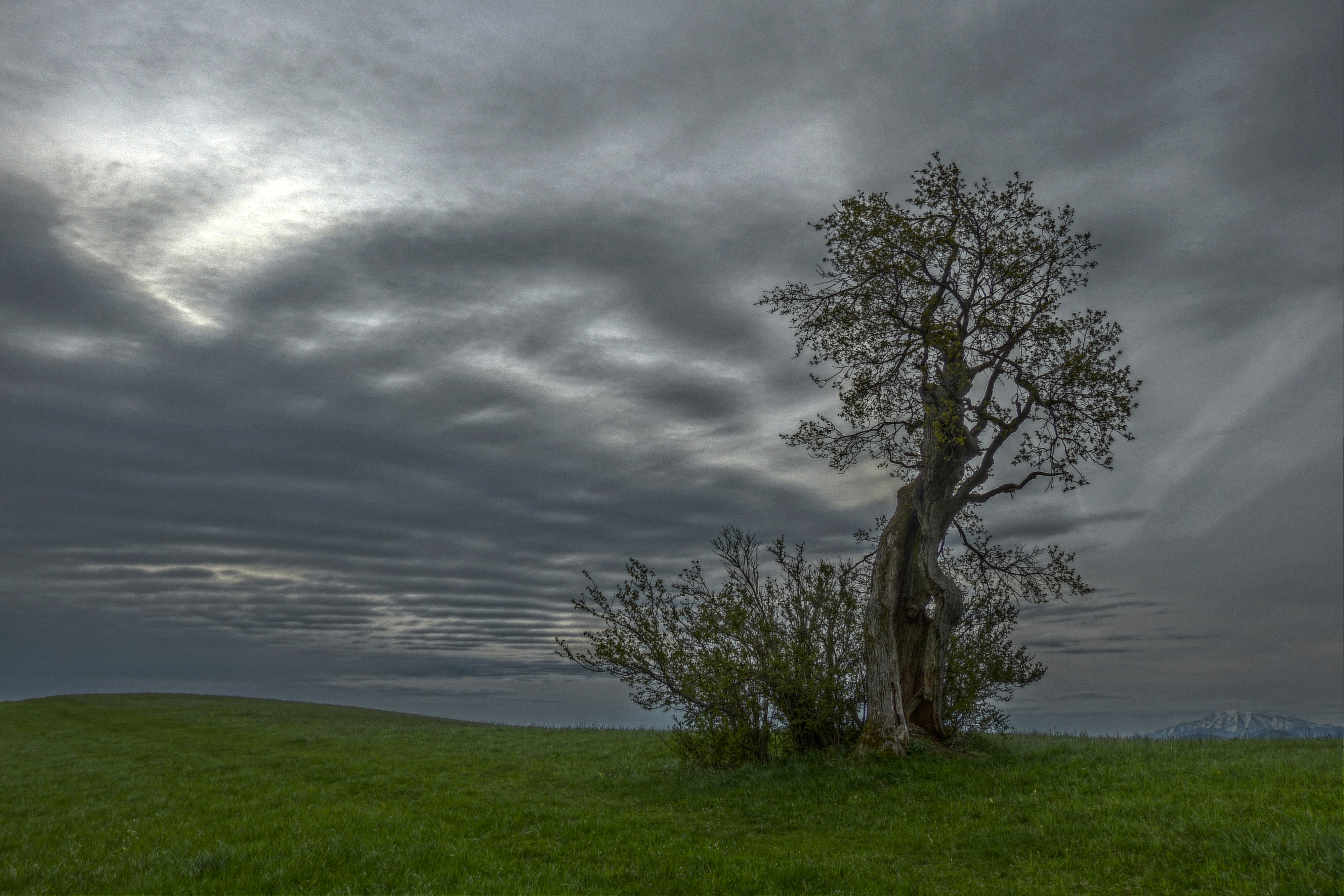
Old Tree
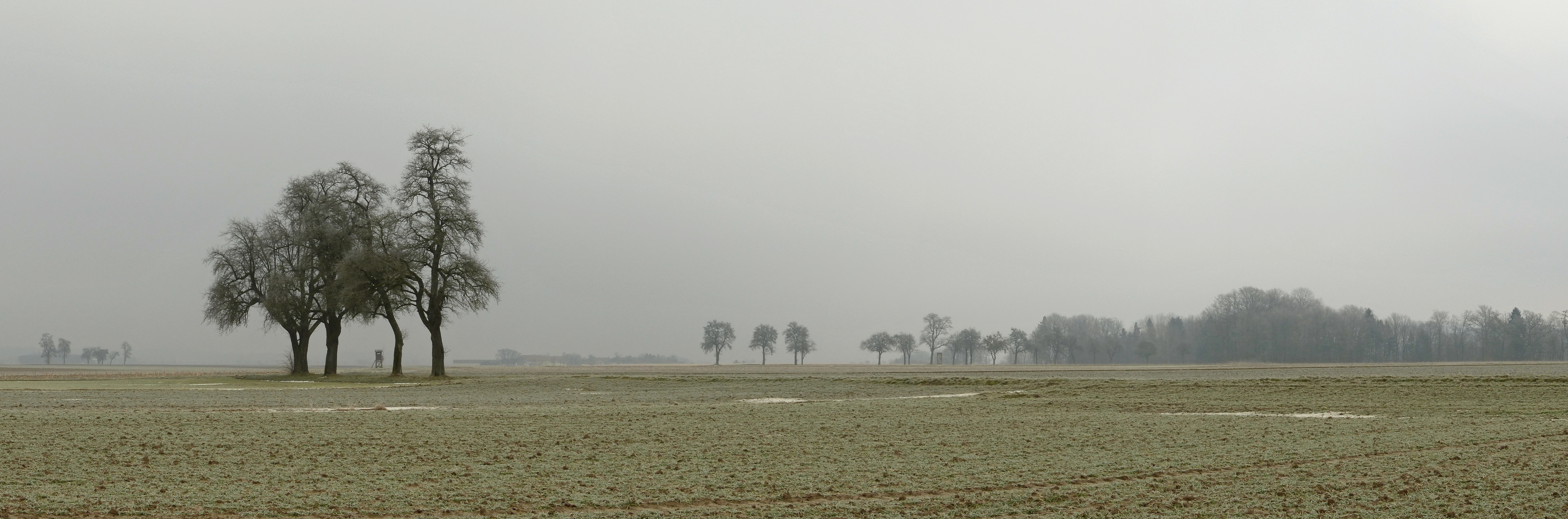
Four Trees

Hubberg. NÖ.
P1000333.jpg

Early Morning

First Sun Rays
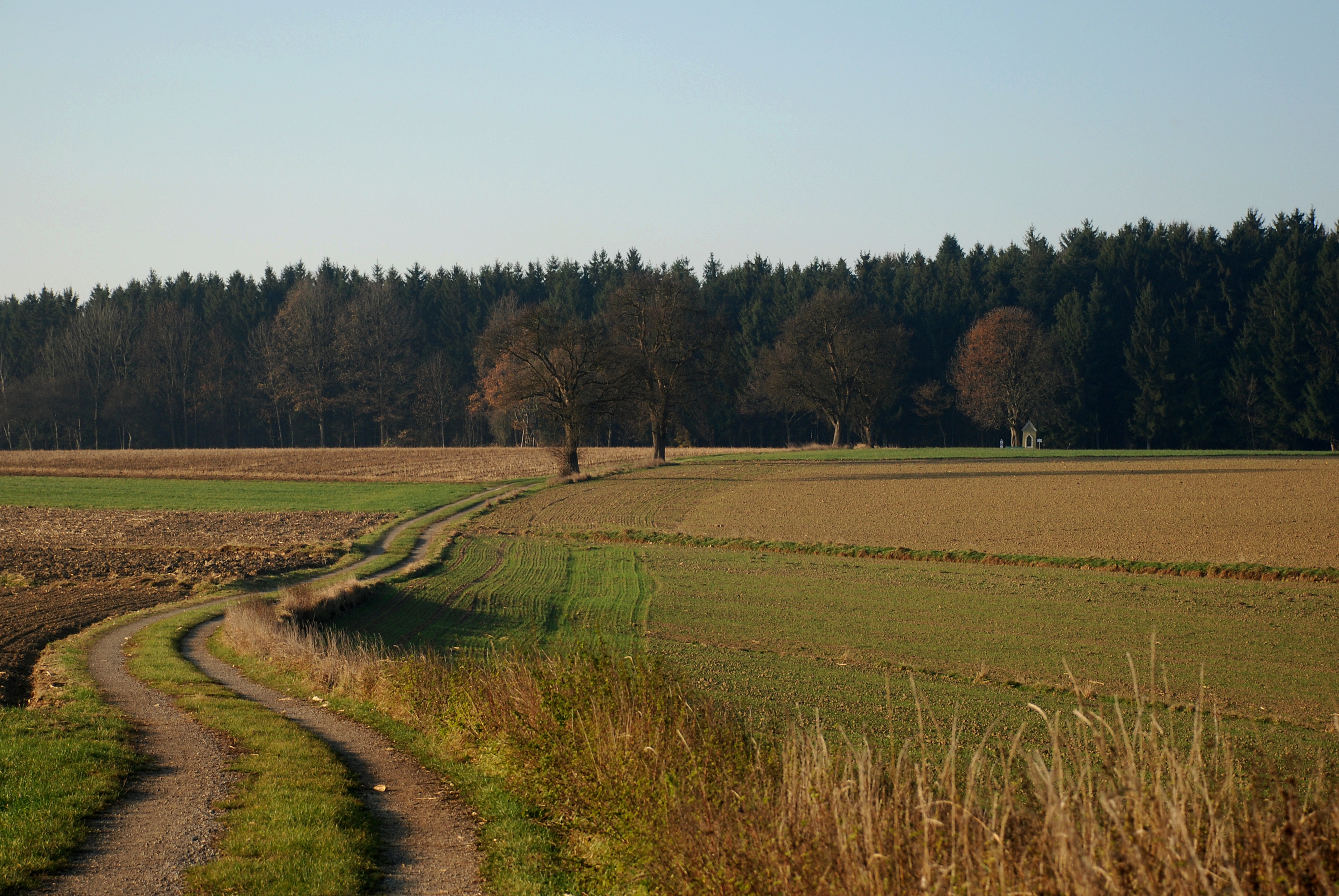
The way to the chapel
Waidhofen/Ybbs NÖ.
Der Sonntagberg

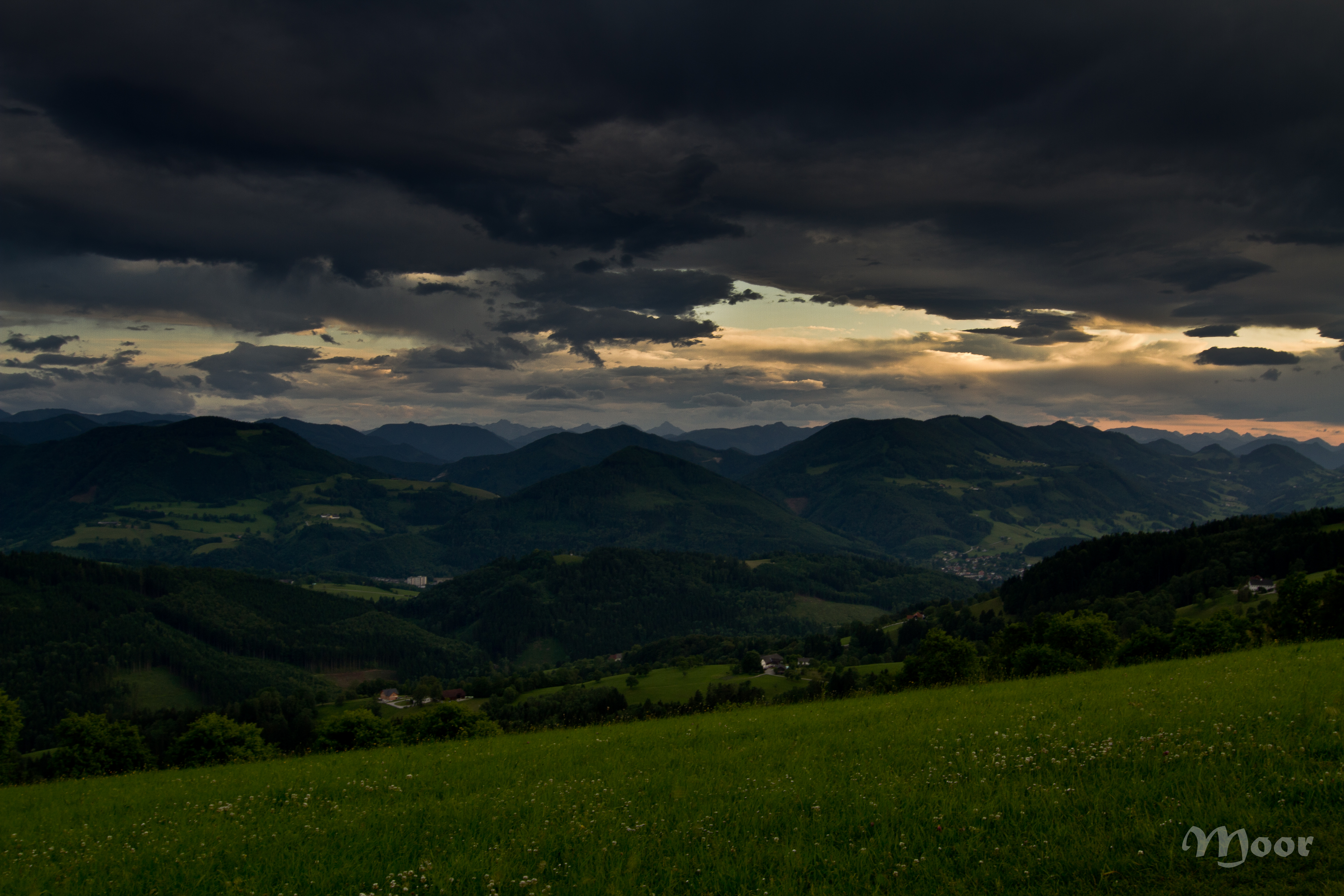
Burning Sky

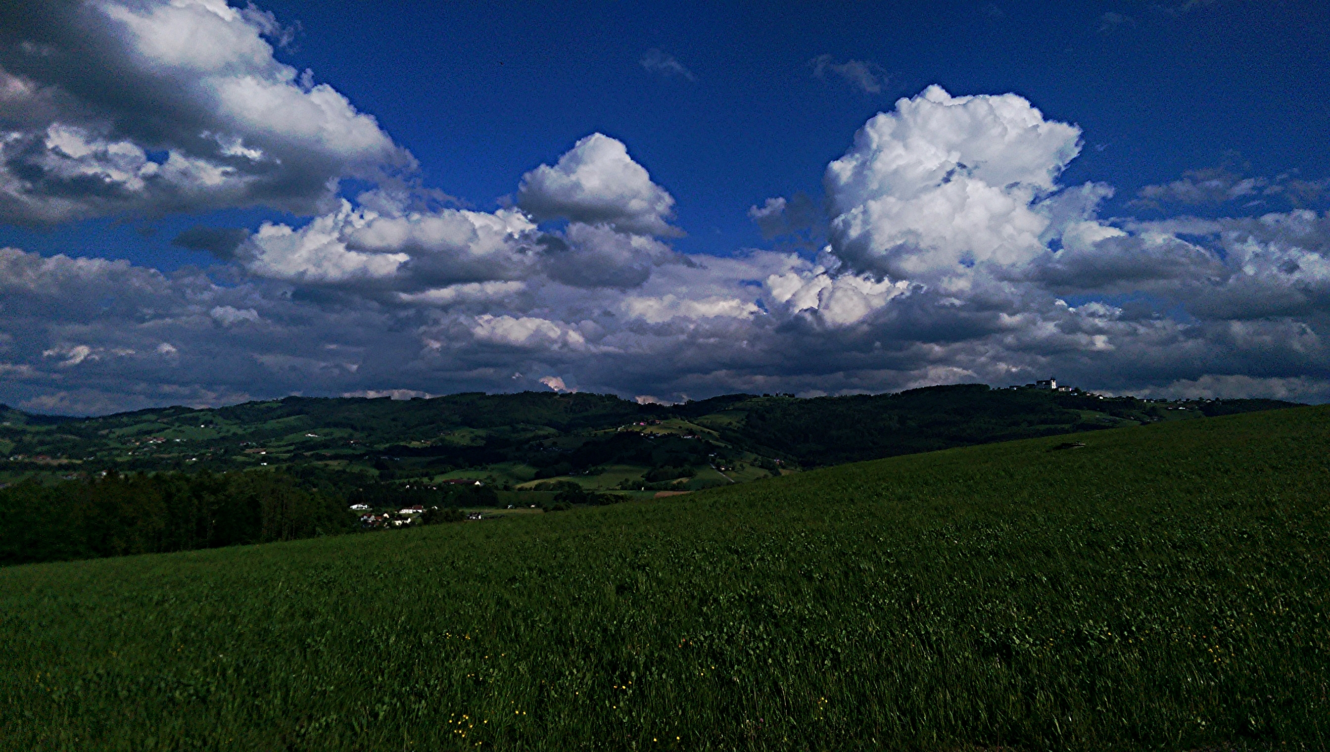
Cloud Games
Topographic Map of Mitterberg 1, Haag Dorf, Austria
Find elevation by address:

Places near Mitterberg 1, Haag Dorf, Austria:
Amstetten
Amstetten District
Agrarstraße 8, Amstetten, Austria
Preinlesberg 2, Scherbling, Austria
13b
Sankt Georgen Am Ybbsfelde
Gemeinde Sankt Georgen Am Ybbsfelde
Stephanshart, Stephanshart, Austria
Marktpl. 1, St. Georgen am Ybbsfelde, Austria
Öhling
Puchberg Bei Randegg
Krahof
Krahof 17, Krahof, Austria
Puchberg 13, Puchberg bei Randegg, Austria
Stephanshart
Krottendorf 51, Öhling, Austria
Weitgraben 11, Weitgraben, Austria
Perwarth 57, Perwarth, Austria
Perwarth
Klein-Reith 2, Kleinreith, Austria
Recent Searches:
- Elevation of Corso Fratelli Cairoli, 35, Macerata MC, Italy
- Elevation of Tallevast Rd, Sarasota, FL, USA
- Elevation of 4th St E, Sonoma, CA, USA
- Elevation of Black Hollow Rd, Pennsdale, PA, USA
- Elevation of Oakland Ave, Williamsport, PA, USA
- Elevation of Pedrógão Grande, Portugal
- Elevation of Klee Dr, Martinsburg, WV, USA
- Elevation of Via Roma, Pieranica CR, Italy
- Elevation of Tavkvetili Mountain, Georgia
- Elevation of Hartfords Bluff Cir, Mt Pleasant, SC, USA