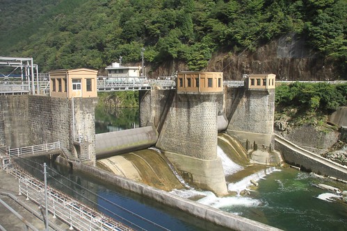
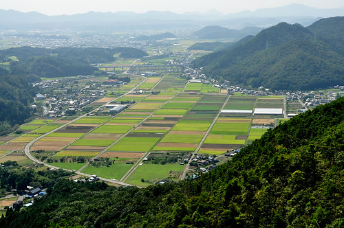
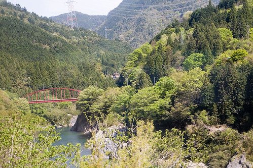
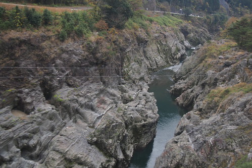
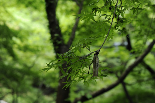
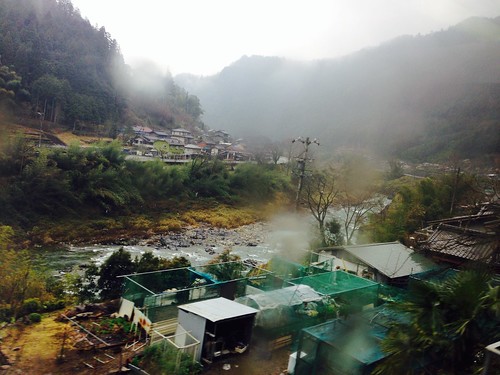
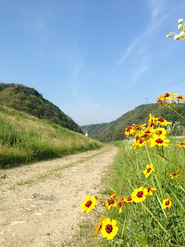
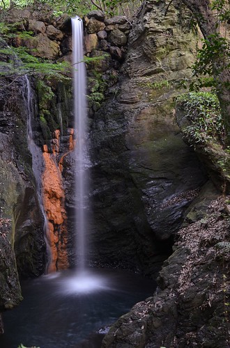
Elevation of Mitake, Kani District, Gifu Prefecture, Japan
Location: Japan > Gifu Prefecture > Kani District >
Longitude: 137.130790
Latitude: 35.4342454
Elevation: 142m / 466feet
Barometric Pressure: 100KPa
Related Photos:
Topographic Map of Mitake, Kani District, Gifu Prefecture, Japan
Find elevation by address:

Places in Mitake, Kani District, Gifu Prefecture, Japan:
Places near Mitake, Kani District, Gifu Prefecture, Japan:
Mitake, Mitake-chō, Kani-gun, Gifu-ken -, Japan
Kani District
Saito, Mitake-chō, Kani-gun, Gifu-ken -, Japan
-9 Yaotsu, Yaotsu-chō, Kamo-gun, Gifu-ken -, Japan
Yaotsu
可児市役所
1 Chome-1 Hiromi
Kani
Kawabe
-2 Shimogiri, Kani-shi, Gifu-ken -, Japan
47-4 Nakakawabe, Kawabe-chō, Kamo-gun, Gifu-ken -, Japan
2140 Tokitsuchō Tokiguchi
小木曽陶器(有)土岐(営)
Toki
(有)玉木酒店
4 Chome-46 Honmachi
Tajimi
Kamiasō, Hichisō-chō, Kamo-gun, Gifu-ken -, Japan
Hichiso
Ōtachō, Minokamo-shi, Gifu-ken -, Japan
Recent Searches:
- Elevation of Corso Fratelli Cairoli, 35, Macerata MC, Italy
- Elevation of Tallevast Rd, Sarasota, FL, USA
- Elevation of 4th St E, Sonoma, CA, USA
- Elevation of Black Hollow Rd, Pennsdale, PA, USA
- Elevation of Oakland Ave, Williamsport, PA, USA
- Elevation of Pedrógão Grande, Portugal
- Elevation of Klee Dr, Martinsburg, WV, USA
- Elevation of Via Roma, Pieranica CR, Italy
- Elevation of Tavkvetili Mountain, Georgia
- Elevation of Hartfords Bluff Cir, Mt Pleasant, SC, USA

