Elevation of Misungwi, Tanzania
Location: Tanzania > Mwanza Region > Misungwi >
Longitude: 33.0817144
Latitude: -2.8429633
Elevation: 1188m / 3898feet
Barometric Pressure: 88KPa
Elevation Map:
Satellite Map:
Related Photos:
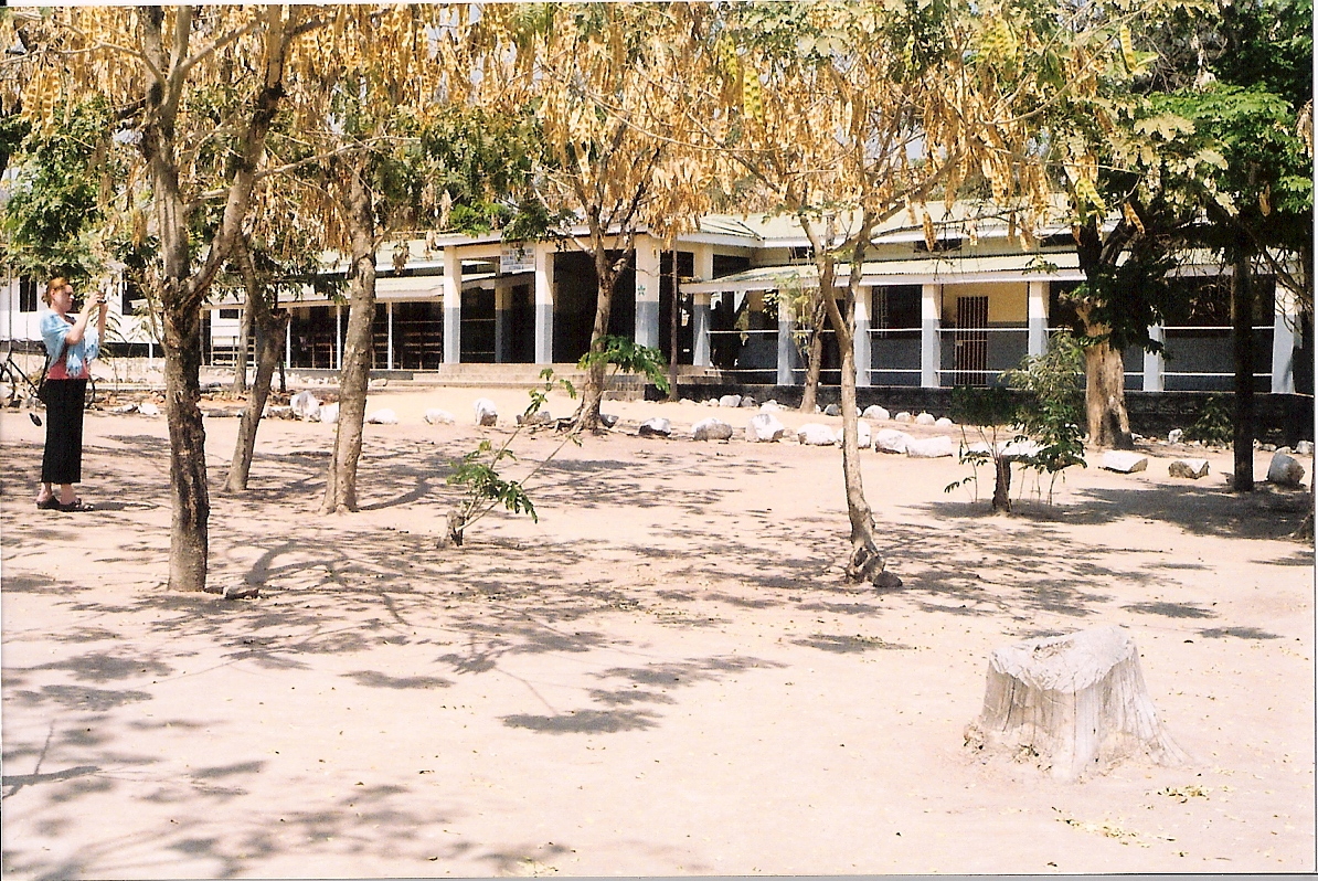
Outside Misungwi District Hospital, Lake Zone
Topographic Map of Misungwi, Tanzania
Find elevation by address:

Places near Misungwi, Tanzania:
Misungwi
Kwimba
Mwanza Region
Shinyanga Urban
Shinyanga
Shinyaga Rural
Ukenyenge
Isaka
Kahama Urban
Rocken Hill Primary School
Nyasubi
Kahama
Wendele Primary School
Wendele
Nzega
Recent Searches:
- Elevation of Corso Fratelli Cairoli, 35, Macerata MC, Italy
- Elevation of Tallevast Rd, Sarasota, FL, USA
- Elevation of 4th St E, Sonoma, CA, USA
- Elevation of Black Hollow Rd, Pennsdale, PA, USA
- Elevation of Oakland Ave, Williamsport, PA, USA
- Elevation of Pedrógão Grande, Portugal
- Elevation of Klee Dr, Martinsburg, WV, USA
- Elevation of Via Roma, Pieranica CR, Italy
- Elevation of Tavkvetili Mountain, Georgia
- Elevation of Hartfords Bluff Cir, Mt Pleasant, SC, USA