Elevation of Miston, TN, USA
Location: United States > Tennessee > Miston >
Longitude: -89.530890
Latitude: 36.1970612
Elevation: 82m / 269feet
Barometric Pressure: 100KPa
Elevation Map:
Satellite Map:
Related Photos:
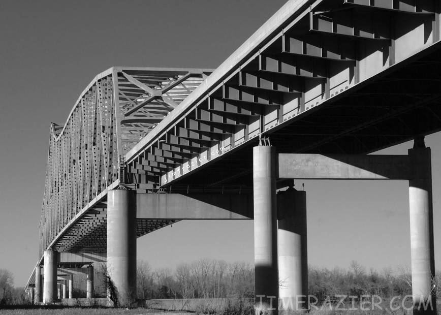
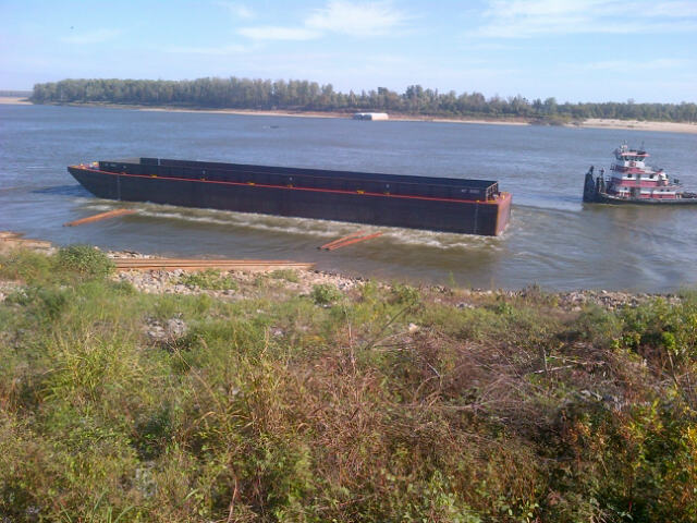
Caruthersville Bridge
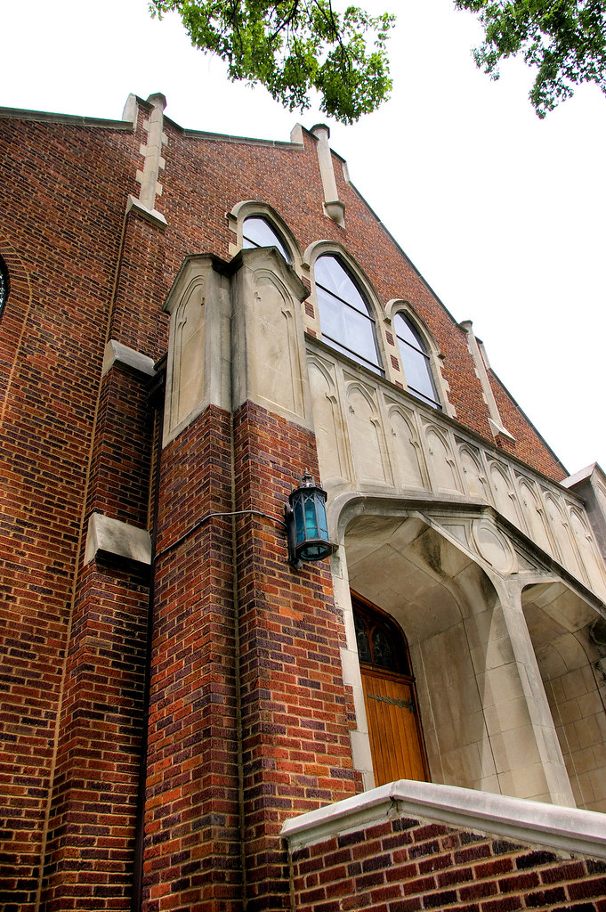
ANGLED VIEW OF UNITED METHODIST CHURCH
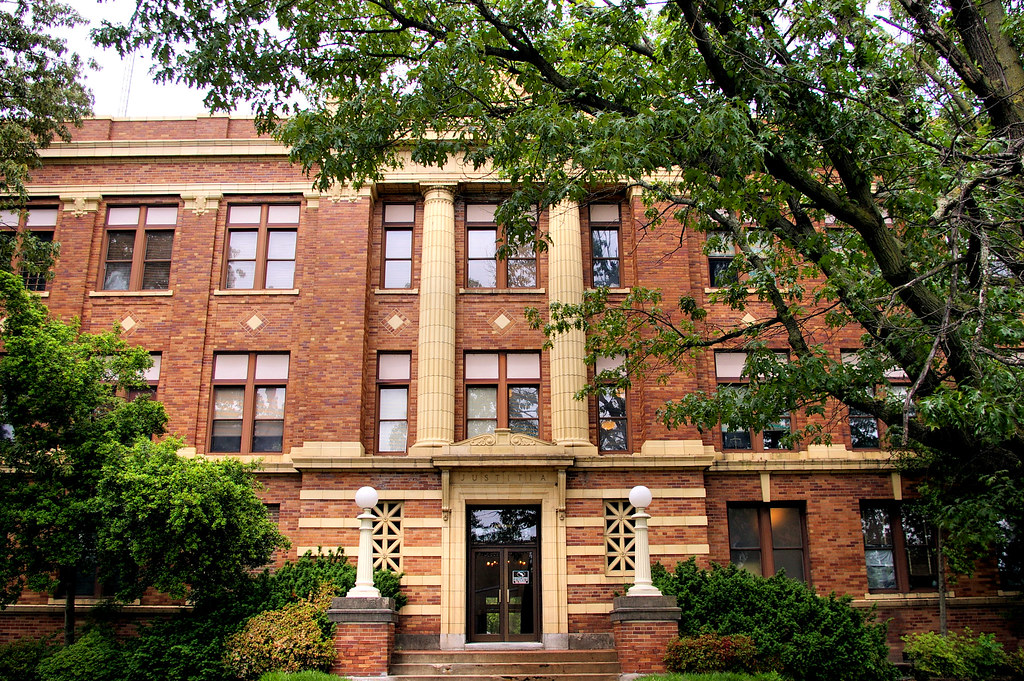
FRONT VIEW OF PEMISCOT COUNTY COURTHOUSE

Caruthersville 029
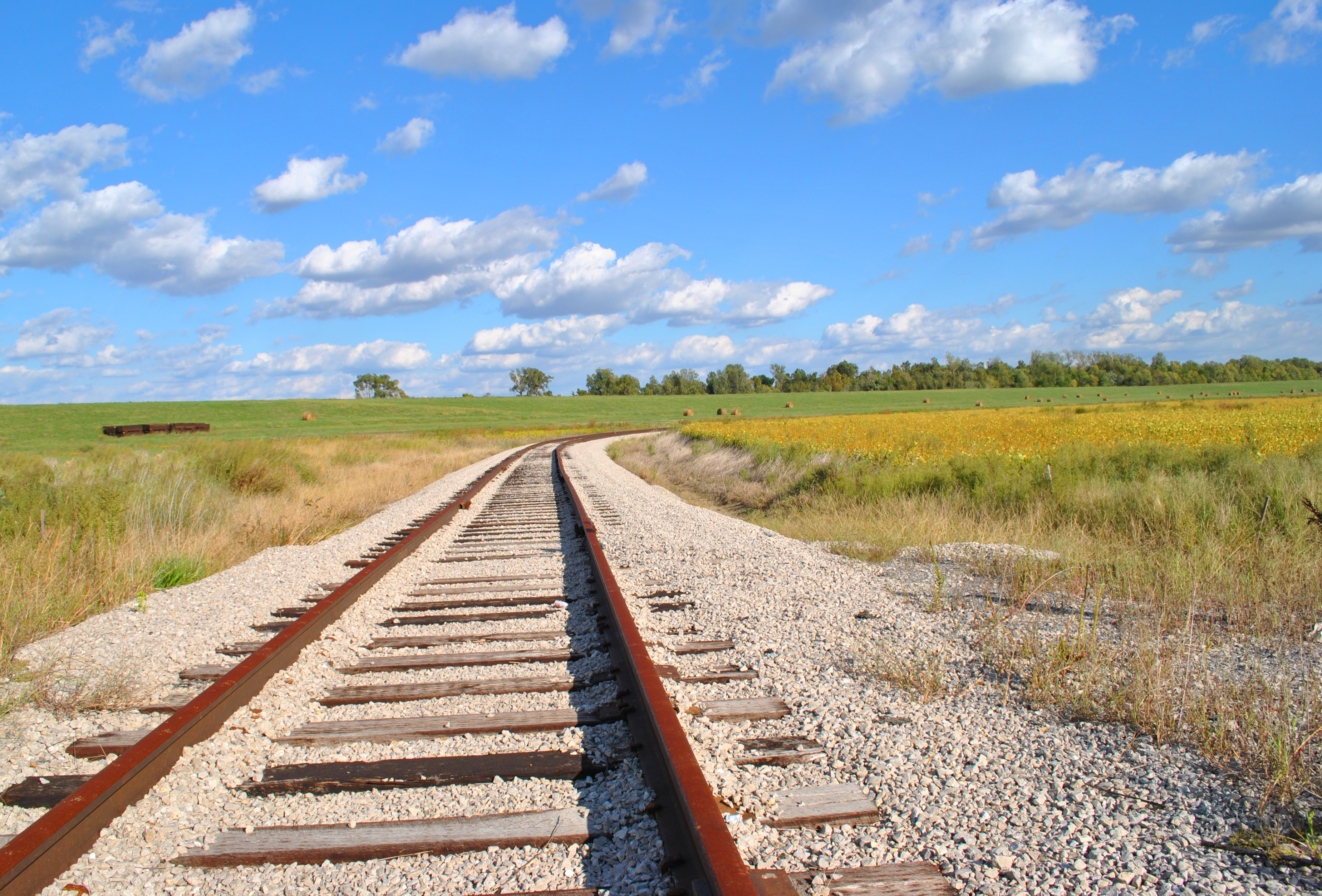
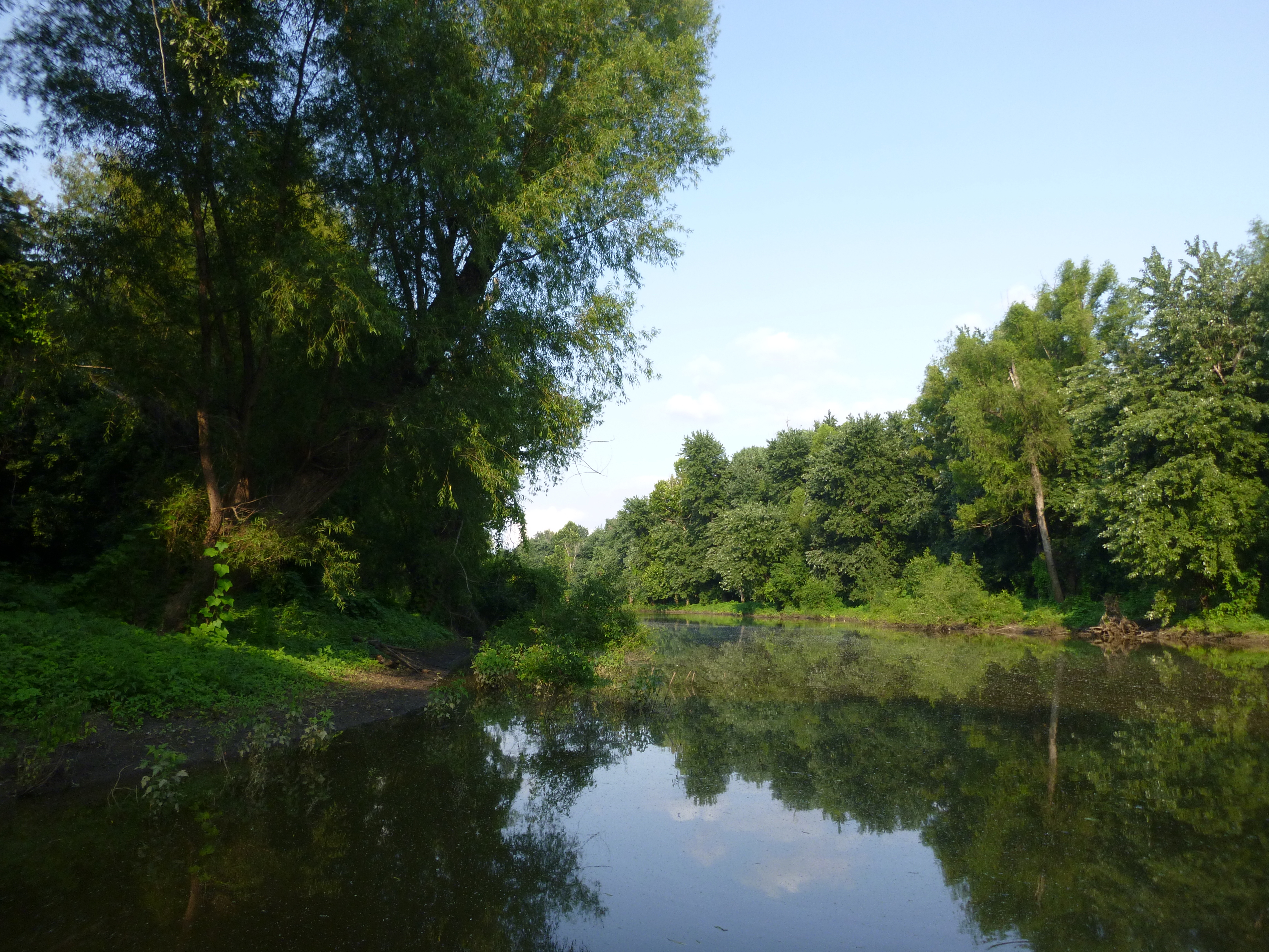
Just around the bend

Caruthersville Bridge
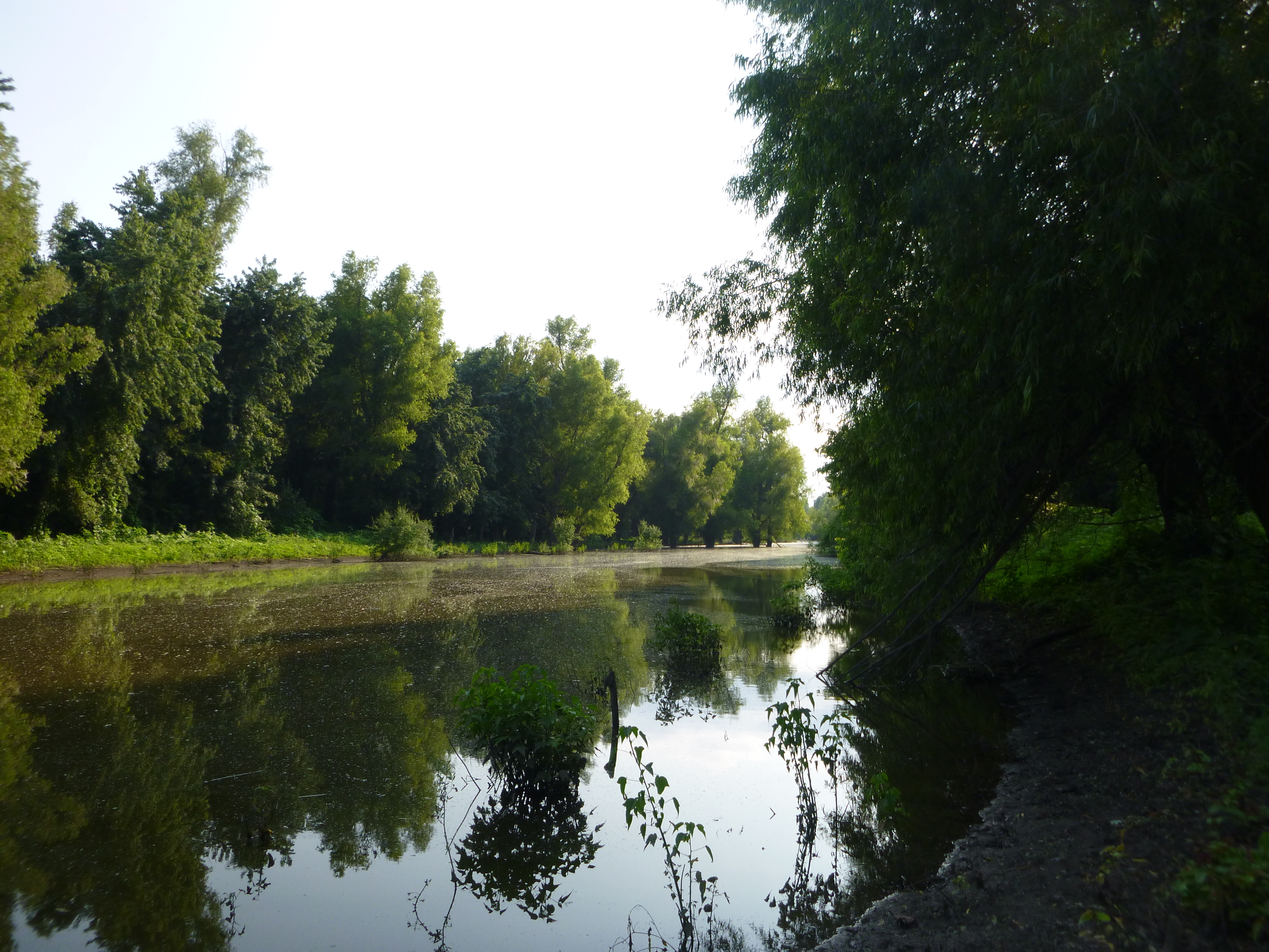
Black Island Conservation Area
Ag Achievement Awards
Black Island Conservation Area
Topographic Map of Miston, TN, USA
Find elevation by address:

Places near Miston, TN, USA:
Titan Rd, Ridgely, TN, USA
Miston
Ridgely
Cat Corner Rd, Obion, TN, USA
Mooring Rd, Tiptonville, TN, USA
Caruthersville
Lake County
TN-78, Dyersburg, TN, USA
4580 Upper Finley Rd
McCullough Chapel Rd, Dyersburg, TN, USA
Finley
25 Club House Ln, Tiptonville, TN, USA
Dyer County
Dyersburg, TN, USA
327 Wynn St
212 Cherry St
Tiptonville
TN-21, Tiptonville, TN, USA
Little Prairie Township
1460 Butler Rd
Recent Searches:
- Elevation of Corso Fratelli Cairoli, 35, Macerata MC, Italy
- Elevation of Tallevast Rd, Sarasota, FL, USA
- Elevation of 4th St E, Sonoma, CA, USA
- Elevation of Black Hollow Rd, Pennsdale, PA, USA
- Elevation of Oakland Ave, Williamsport, PA, USA
- Elevation of Pedrógão Grande, Portugal
- Elevation of Klee Dr, Martinsburg, WV, USA
- Elevation of Via Roma, Pieranica CR, Italy
- Elevation of Tavkvetili Mountain, Georgia
- Elevation of Hartfords Bluff Cir, Mt Pleasant, SC, USA