Elevation of Mirzapur, Uttar Pradesh, India
Location: India > Uttar Pradesh > Mirzapur >
Longitude: 82.5644344
Latitude: 25.1336987
Elevation: 87m / 285feet
Barometric Pressure: 100KPa
Elevation Map:
Satellite Map:
Related Photos:

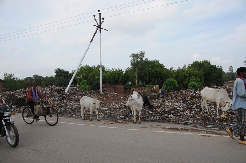
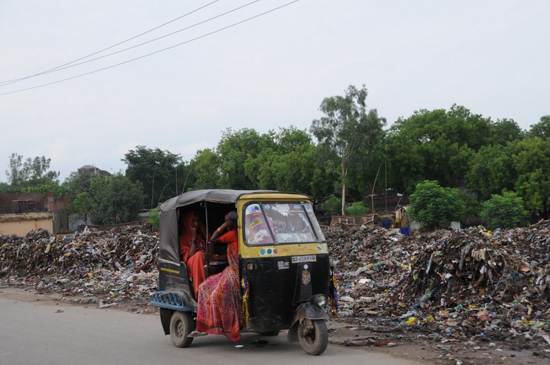
Road or Garbbage?
Food and fodder...

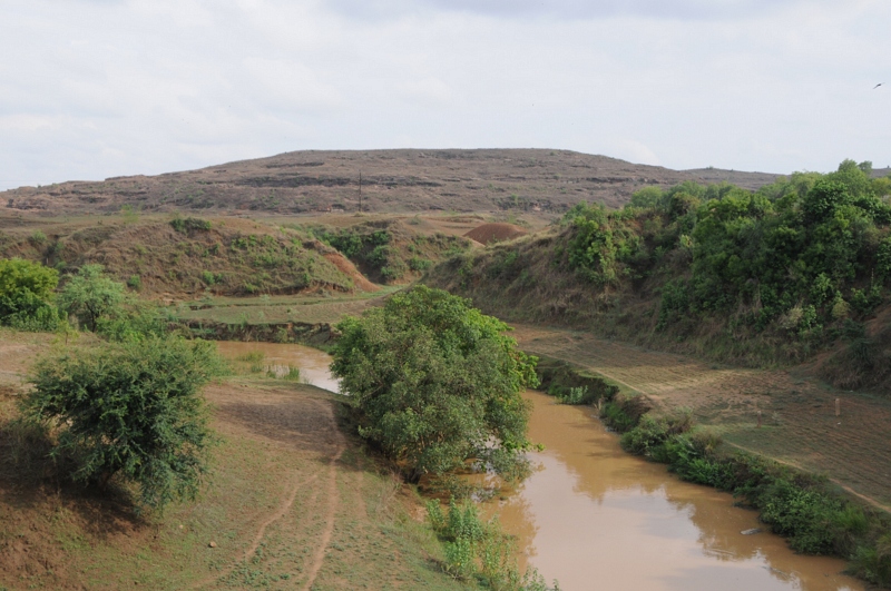
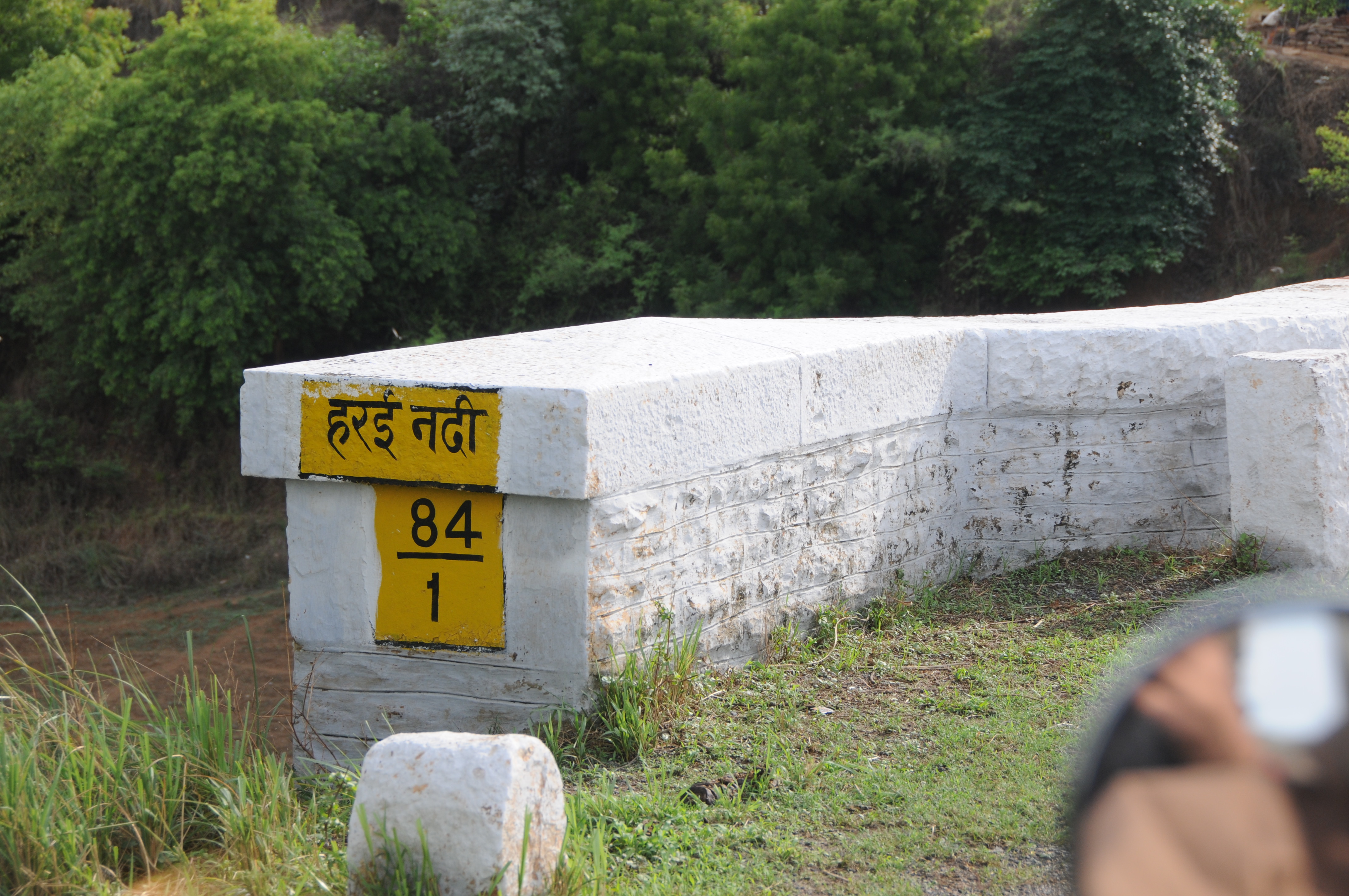
Dhauru Pur, Mirzapur and Vindhyachal, Uttar Pradesh
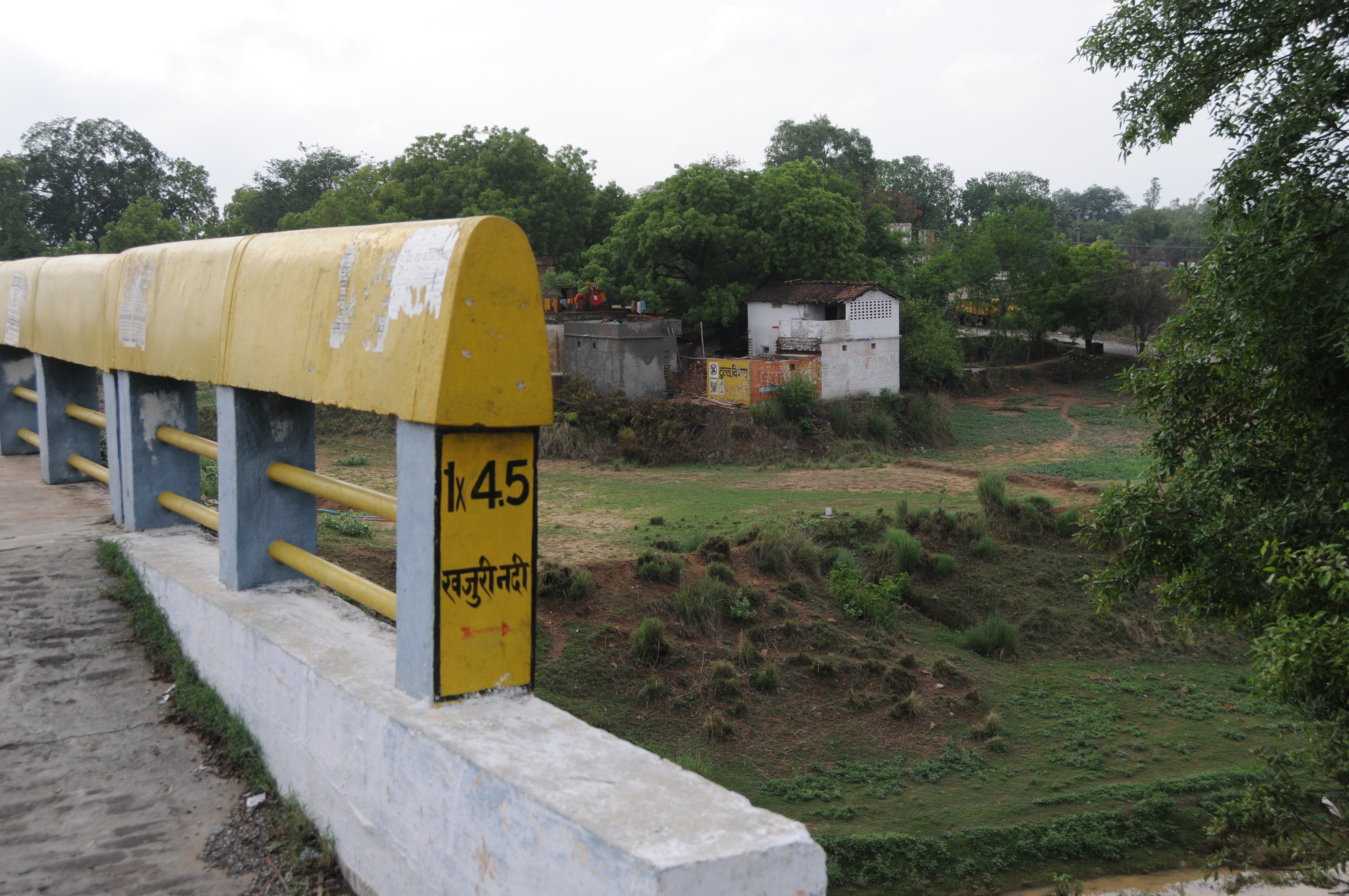
A way to life...

Ahamalpur, Uttar Pradesh
Ahamalpur, Uttar Pradesh

CSP_3495.JPG

CSP_3496.JPG

CSP_3498.JPG

CSP_3497.JPG

CSP_3499.JPG

CSP_3493.JPG
CSP_3500.JPG

CSP_3494.JPG
CSP_3492.JPG
Topographic Map of Mirzapur, Uttar Pradesh, India
Find elevation by address:

Places near Mirzapur, Uttar Pradesh, India:
Bhogaon
Mirzapur
Chitaipur
Indira Nagar Colony
Rajghat
Kaimur Range
Amiliya
Sidhi
Singrauli
Rewa
Sidhi
Recent Searches:
- Elevation of Corso Fratelli Cairoli, 35, Macerata MC, Italy
- Elevation of Tallevast Rd, Sarasota, FL, USA
- Elevation of 4th St E, Sonoma, CA, USA
- Elevation of Black Hollow Rd, Pennsdale, PA, USA
- Elevation of Oakland Ave, Williamsport, PA, USA
- Elevation of Pedrógão Grande, Portugal
- Elevation of Klee Dr, Martinsburg, WV, USA
- Elevation of Via Roma, Pieranica CR, Italy
- Elevation of Tavkvetili Mountain, Georgia
- Elevation of Hartfords Bluff Cir, Mt Pleasant, SC, USA