Elevation of Mio, MI, USA
Location: United States > Michigan > Oscoda County >
Longitude: -84.129727
Latitude: 44.6522362
Elevation: 312m / 1024feet
Barometric Pressure: 98KPa
Elevation Map:
Satellite Map:
Related Photos:
Luzerne Boarwalk
Luzerne Boardwalk
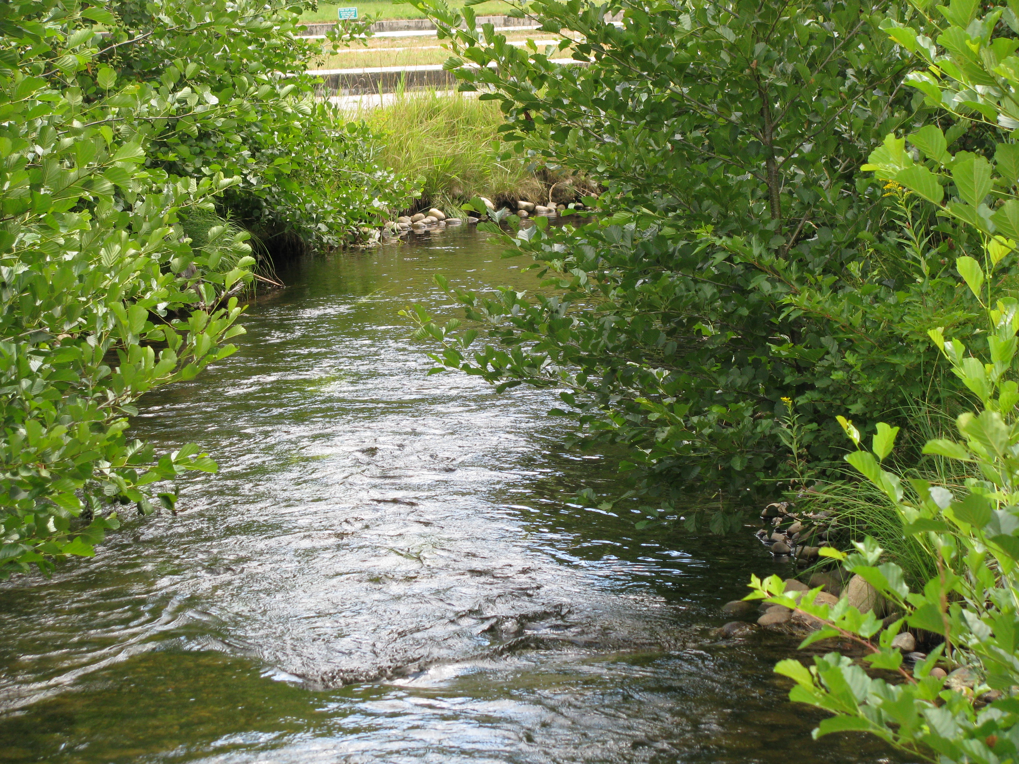
Big Creek (new view)
Luzerne Boardwalk
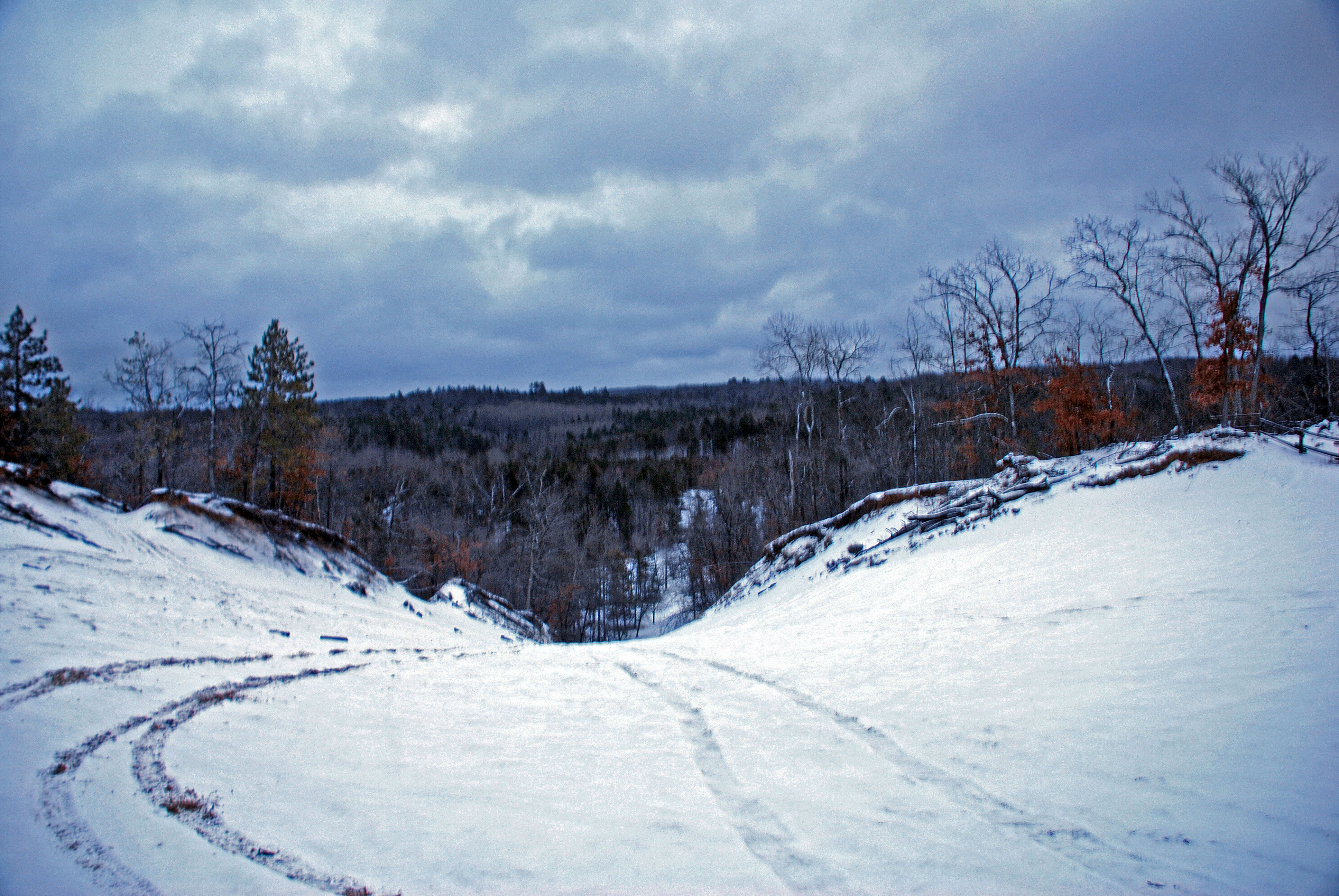
Bull Gap, Mio, Michigan

Kirtland's Warbler,

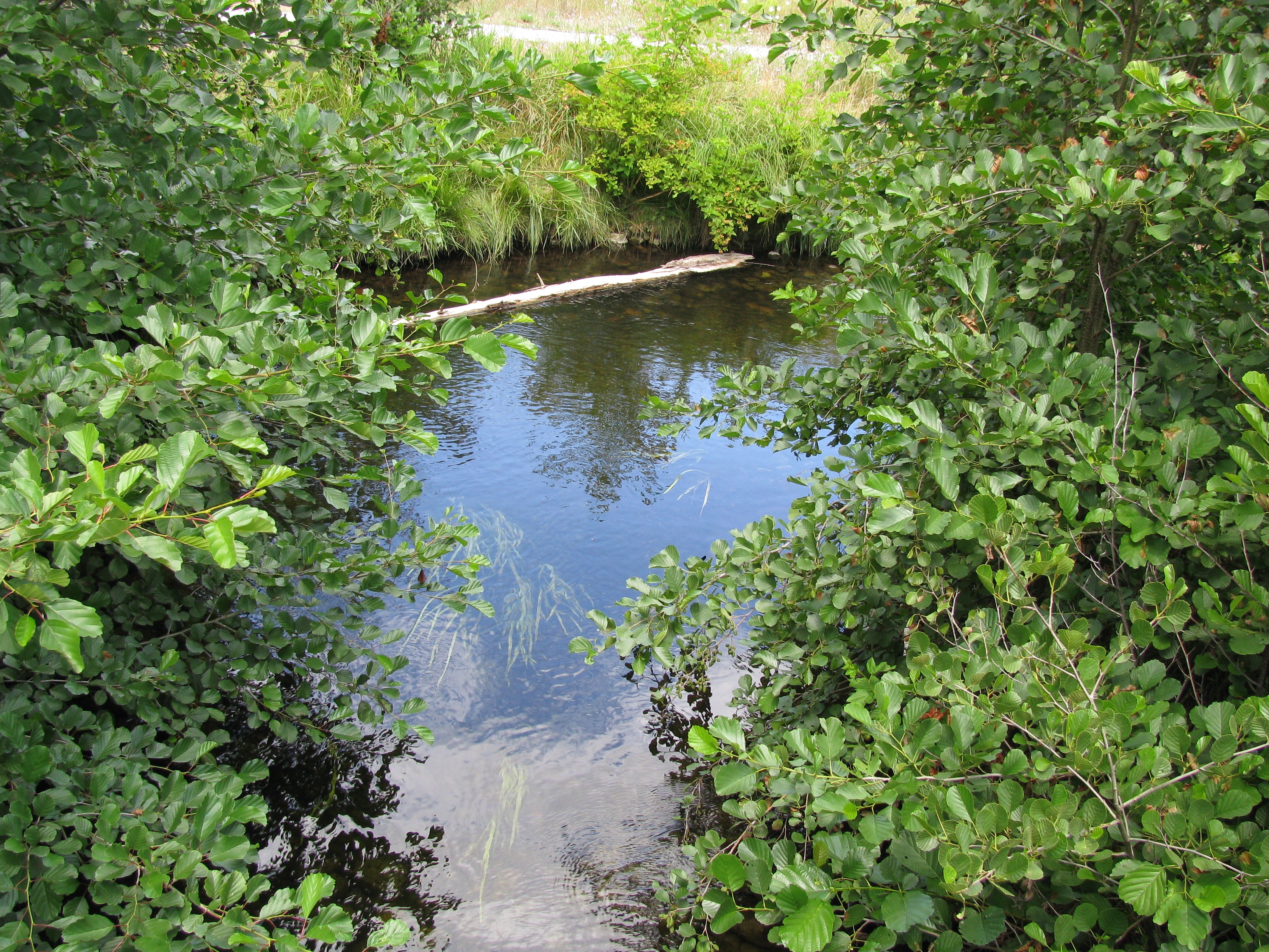
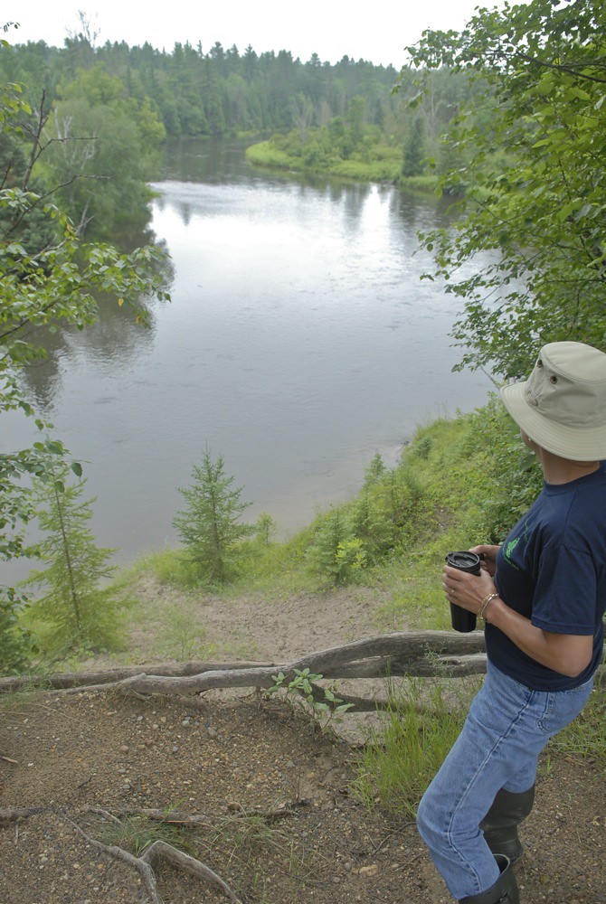
Au Sable River
Van Luven Rd. - 05

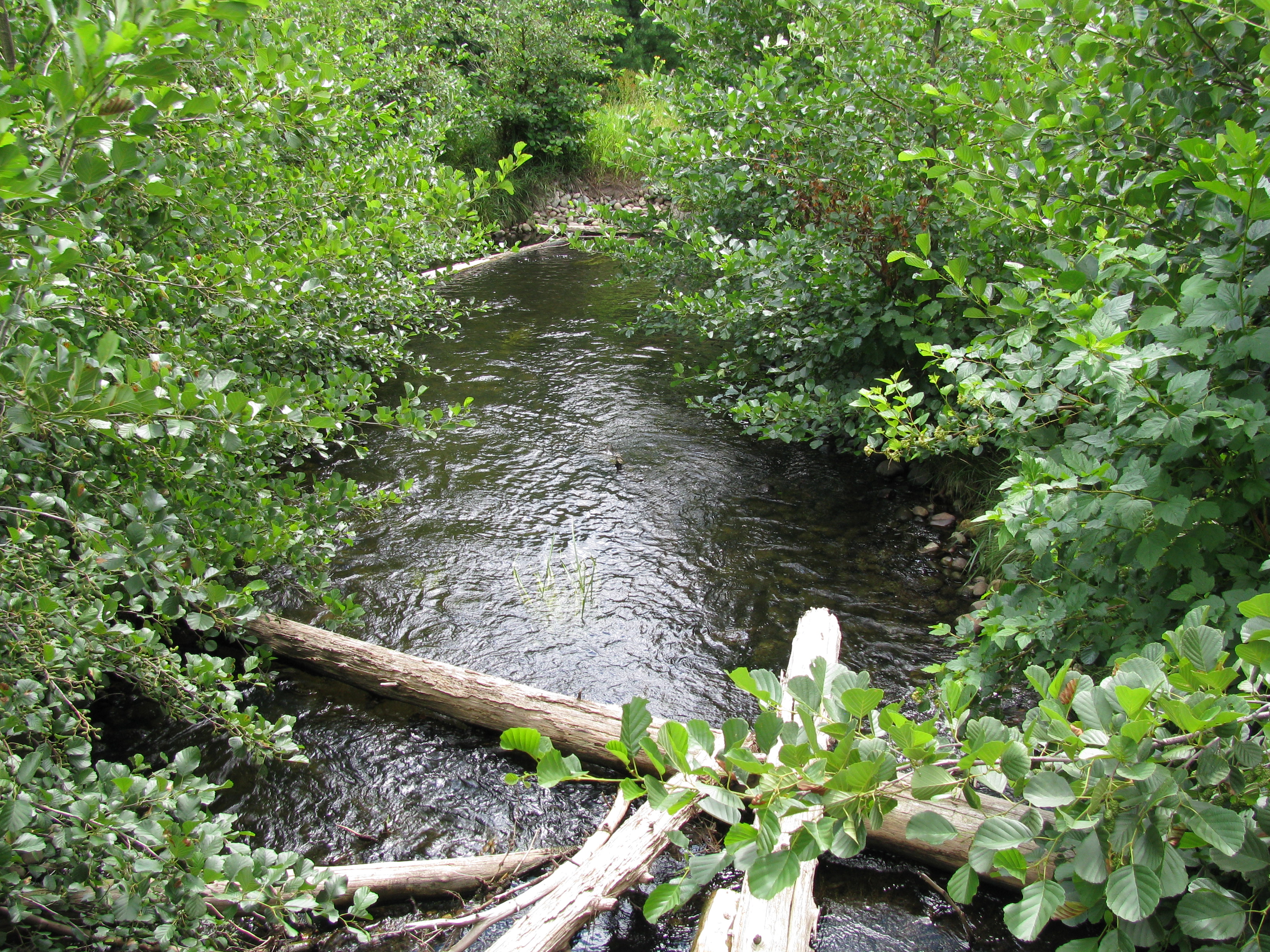
The Au Sable on the 4th

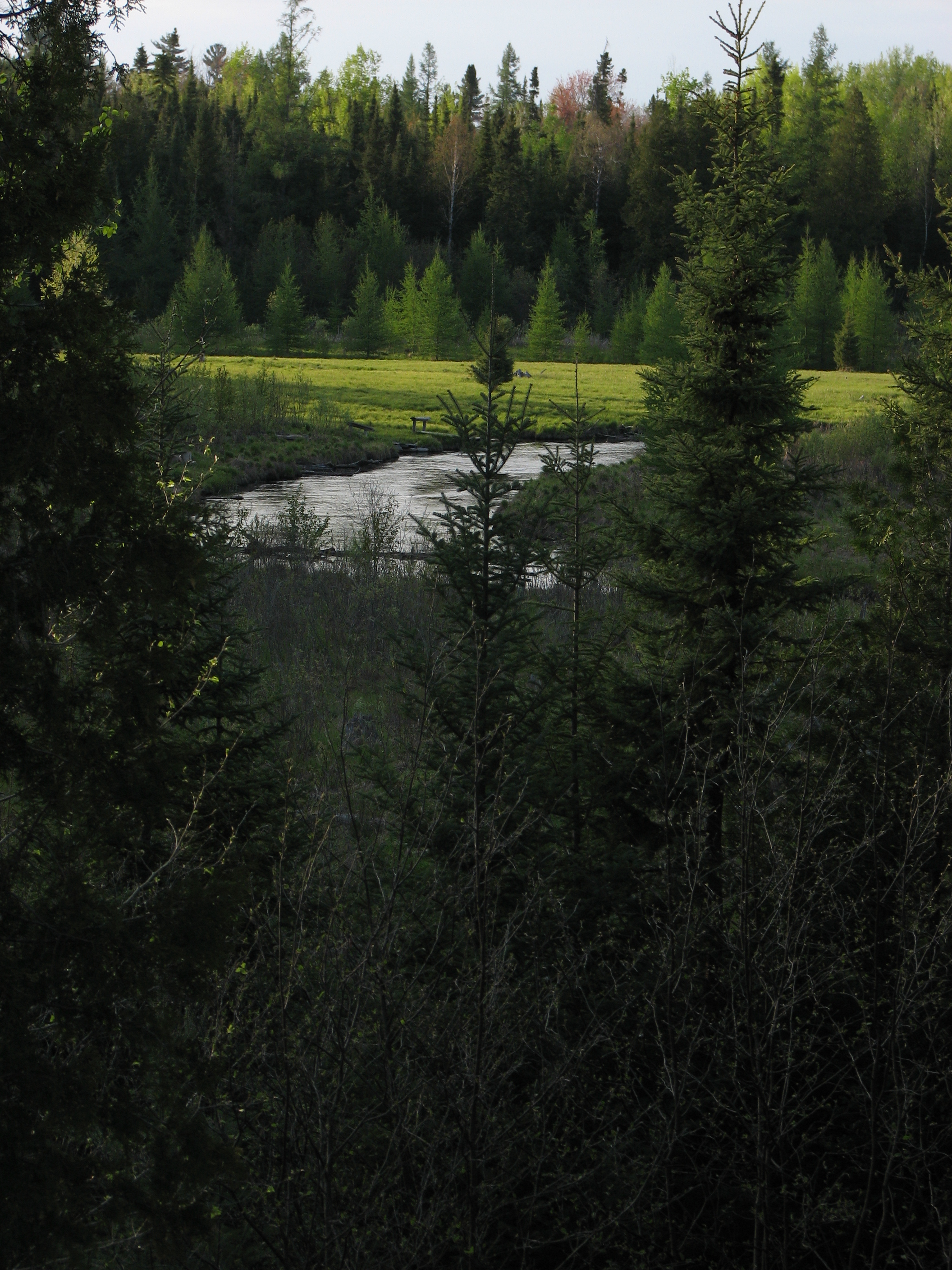
Au Sable up from Commins Flat
Topographic Map of Mio, MI, USA
Find elevation by address:

Places near Mio, MI, USA:
1003 10th St
Oscoda County
1576 N Perry Creek Rd
Fairview
Kauffman Rd, Fairview, MI, USA
Big Creek Township
2593 N Abbe Rd
2593 N Abbe Rd
2764 N Abbe Rd
1804 Deeter Rd
West Cherry Creek Road
2301 Royce Ave
2301 Royce Ave
Luzerne
Comins Township
5938 Union Corners Rd
1111 Mayhew Rd
Fairview, MI, USA
Rose Township
Greenwood Township
Recent Searches:
- Elevation of Corso Fratelli Cairoli, 35, Macerata MC, Italy
- Elevation of Tallevast Rd, Sarasota, FL, USA
- Elevation of 4th St E, Sonoma, CA, USA
- Elevation of Black Hollow Rd, Pennsdale, PA, USA
- Elevation of Oakland Ave, Williamsport, PA, USA
- Elevation of Pedrógão Grande, Portugal
- Elevation of Klee Dr, Martinsburg, WV, USA
- Elevation of Via Roma, Pieranica CR, Italy
- Elevation of Tavkvetili Mountain, Georgia
- Elevation of Hartfords Bluff Cir, Mt Pleasant, SC, USA