Elevation of Minnehaha Ave, Roscommon, MI, USA
Location: United States > Michigan > Roscommon County >
Longitude: -84.746757
Latitude: 44.4626891
Elevation: 355m / 1165feet
Barometric Pressure: 97KPa
Elevation Map:
Satellite Map:
Related Photos:

So Inviting

Photo-A-Day #29: Loungin'
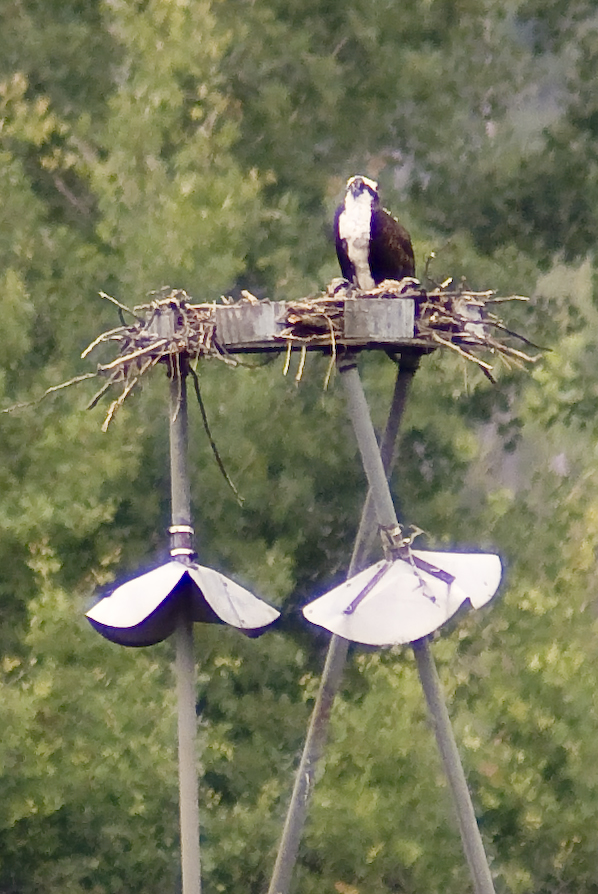
Osprey 1--Nesting Platform at Houghton Lake Flooding
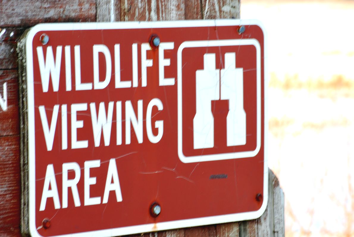
Like It Says

Hawk Ridge - #7

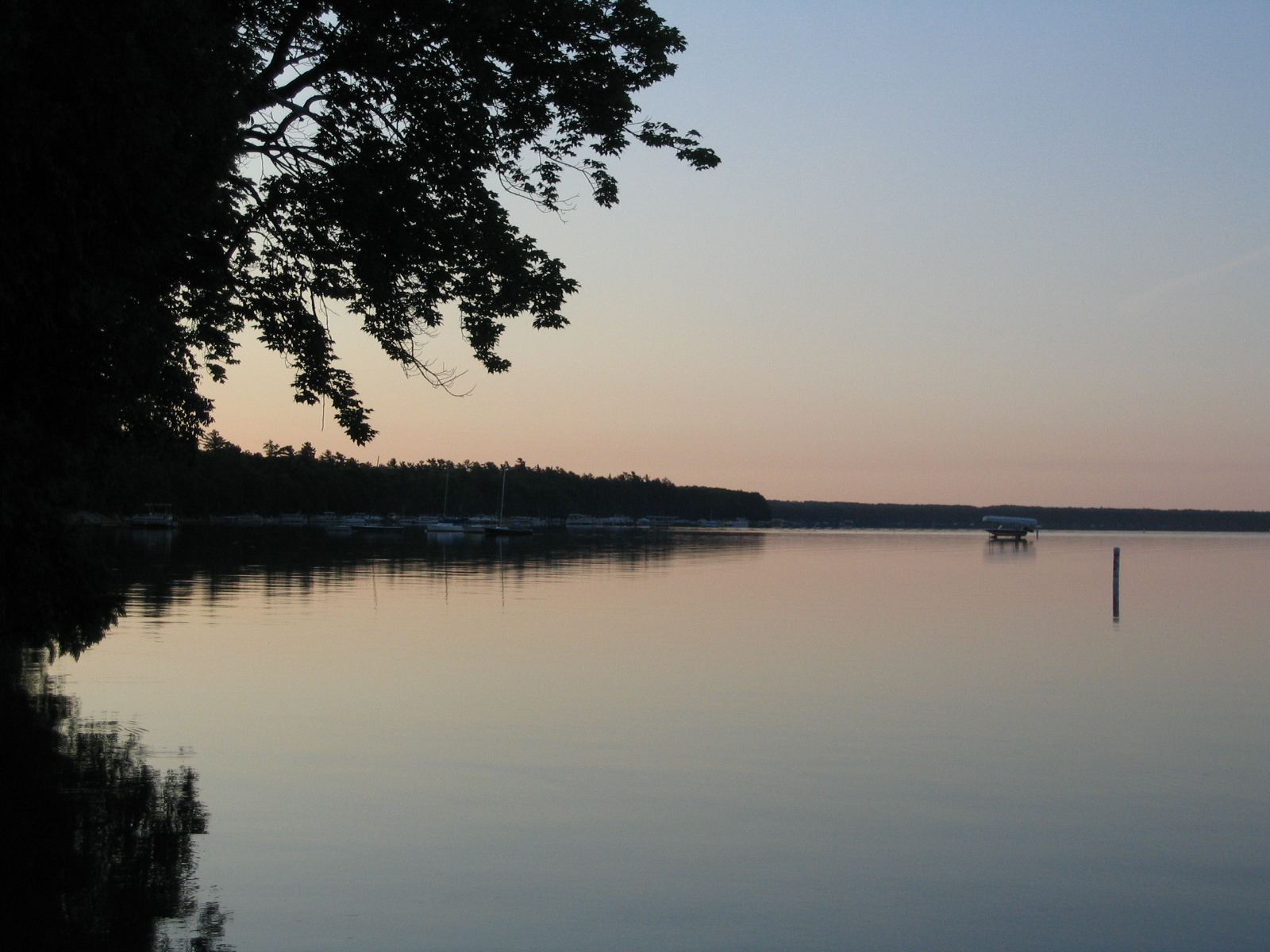
the view

Higgins Lake 2007 cabin

Higgins Lake 2007 cabin

Kirtland's Warbler [female]

Kirtland's Warbler

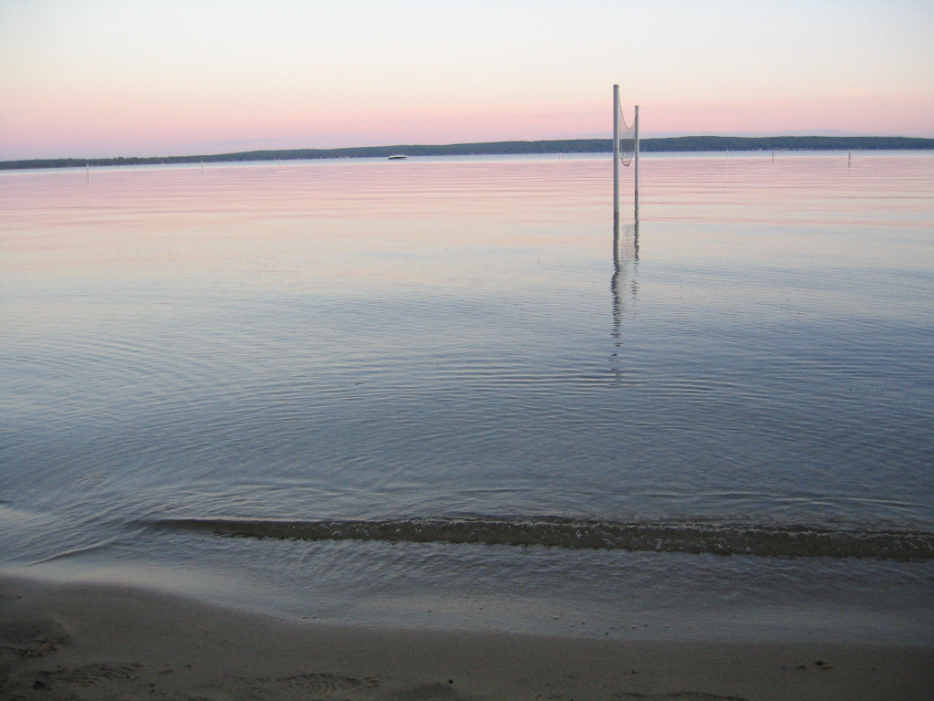
Early fishing

Marl Lake at Lake Higgins Park, MI

Starry Night in Michigan

205-0532_IMG
205-0533_IMG

The trail's beautiful today! Where's everyone?

204-0497_IMG
204-0496_IMG

Cut-Creek--04

Cut-Creek---01
Topographic Map of Minnehaha Ave, Roscommon, MI, USA
Find elevation by address:

Places near Minnehaha Ave, Roscommon, MI, USA:
Higgins Lake
Silver Dollar Bar Restaurant
11747 N Higgins Lake Dr
148 Pine Bluffs Rd
308 Maplewood Dr
4923 W Dort Rd
Gerrish Township
Cross Country Ski Headquarters
North Cut Road
Beaver Creek Township
Roscommon County
Oliver Dr, Houghton Lake, MI, USA
Houghton Lake
Roscommon
809 Iroquois Ave
740 Iroquois Ave
Margrethe Blvd, Grayling, MI, USA
Higgins Township
8048 Collen Ave
3601 S Reserve Rd
Recent Searches:
- Elevation of Corso Fratelli Cairoli, 35, Macerata MC, Italy
- Elevation of Tallevast Rd, Sarasota, FL, USA
- Elevation of 4th St E, Sonoma, CA, USA
- Elevation of Black Hollow Rd, Pennsdale, PA, USA
- Elevation of Oakland Ave, Williamsport, PA, USA
- Elevation of Pedrógão Grande, Portugal
- Elevation of Klee Dr, Martinsburg, WV, USA
- Elevation of Via Roma, Pieranica CR, Italy
- Elevation of Tavkvetili Mountain, Georgia
- Elevation of Hartfords Bluff Cir, Mt Pleasant, SC, USA