Elevation of Mills County, IA, USA

Location: United States > Iowa >

Longitude: -95.645795

Latitude: 41.0624496

Elevation: 323m / 1060feet

Barometric Pressure: 98KPa

Elevation Map:

elevation map of Mills County, IA, USA

Satellite Map:

Satellite map of Mills County, IA, USA

Related Photos:

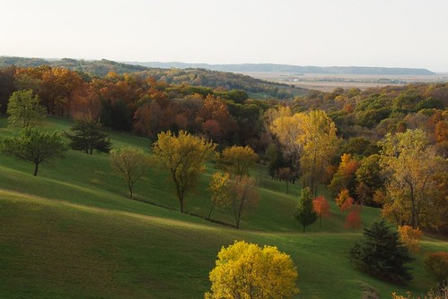
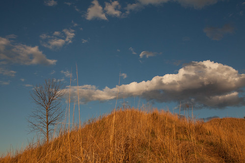
autumn dawn iowa hills flowrbx loess loesshills castleunicorn
A View fit for Royalty
square squareformat iphoneography instagramapp uploaded:by=instagram foursquare:venue=51425f83e4b03340af138068
The view was a bit different when it was time to leave and head back to Continental Drift for Andy to play with Fork in the Road. Just as beautiful as ever though, I imagine there isn't a bad view from here anytime of the day!
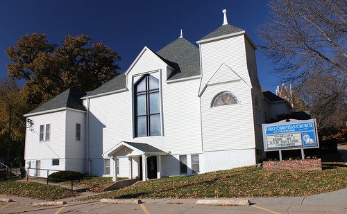
iowa glenwoodia
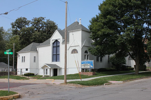
First Christian Church - Glenwood, IA
winter snow aperture woods iowa hike councilbluffs loesshills
On Top
winter snow aperture woods iowa hike councilbluffs loesshills
Cricket's View
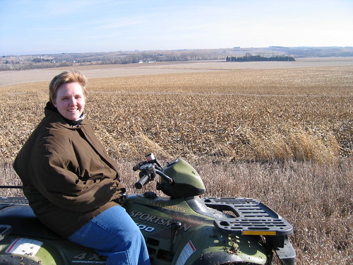
marna atv four wheel motor bike land farm iowa
Marna on ATV
iowa glenwoodia
First Christian Church - Glenwood, IA
iowa glenwoodia
First Christian Church - Glenwood, IA
iowa glenwoodia
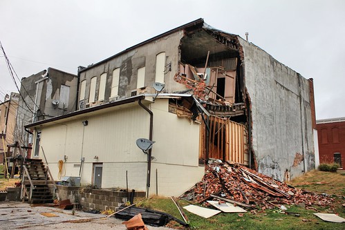
W.F. Laraway Building (rear view) - Glenwood, IA
iowa mineolaia
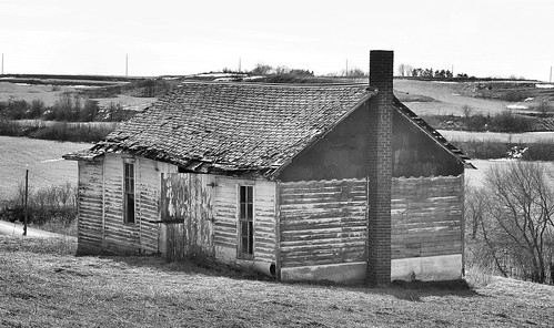
Letal School - rural Mineola, IA
autumn trees reflection fall water nikon iowa glenwood foliage lightroom nikond80 laughlinc lightroom5 nikon1755mm24
fall trees reflecting
summer cemeteries film home cemetery grave analog 35mm landscape iso200 cornfield crosses rangefinder august iowa graves fujifilm xa gravestones olympusxa 2012 fujisuperia200 compact35 colornegativefilm taboriowa statehighway275
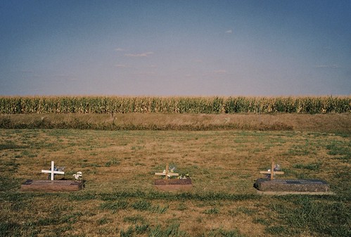
fairview cemetery
ragbrai
Day 1
landscape iowa
Folsom Point Prairie
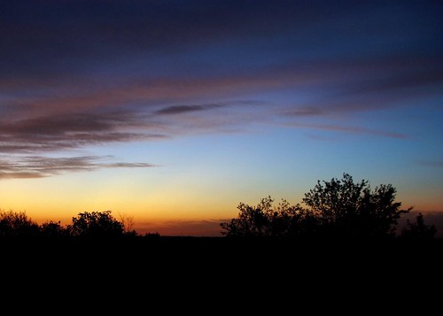
sunrise iowa flowrbx loesshills castleunicorn
Sunrise fit for a Queen - 7:14
iowa roadtrip2011
2011-SIOUXFALLS02-Iowa flooding
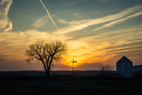
sunset sky sun tree windmill landscape us unitedstates farm iowa 2016 councilbluffs lanternfest pacificjunction
Iowa Sunset 1
sunset sky sun tree windmill landscape us unitedstates farm iowa 2016 councilbluffs lanternfest pacificjunction
Iowa Sunset 2
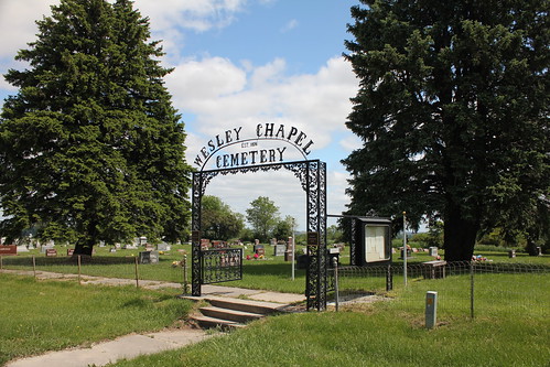
iowa hastingsia
Wesley Chapel Cemetery - rural Hastings, IA
unitedstates iowa glenwood
IMG_8138.JPG
unitedstates iowa glenwood
IMG_8151.JPG
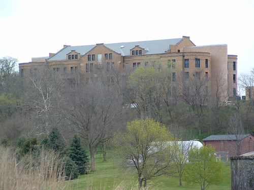
Glenwood State Hospital, Glenwood, Iowa
nature river trace iowa trail wabash wwest nishnabotna
West Nishnabotna River
unitedstates iowa glenwood
IMG_8136.JPG
iowa margaritaville thursday mineola tacoride tacoridecom wabashtracenaturetrail tacotommy mineolaiowa
PICT0002 (Large)
horse grass fence farm lensflare graze androidmobile snapseed flickrandroidapp:filter=none
Free to Roam
Glenwood State Hospital, Glenwood, Iowa
iowa roadtrip2011
2011-SIOUXFALLS03-Iowa flooding