Elevation of Millertown, NL, Canada
Location: Canada > Newfoundland And Labrador > Division No. 6 >
Longitude: -56.541618
Latitude: 48.8131379
Elevation: 166m / 545feet
Barometric Pressure: 99KPa
Elevation Map:
Satellite Map:
Related Photos:
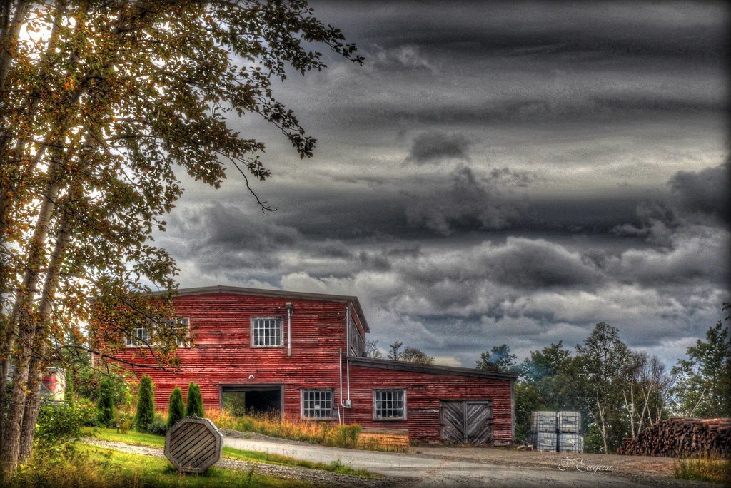
Sawmill
Topographic Map of Millertown, NL, Canada
Find elevation by address:

Places in Millertown, NL, Canada:
Places near Millertown, NL, Canada:
27 Mary March Dr, Millertown, NL A0H 1V0, Canada
Division No. 6
Division No. 6, Subd. A
Joe Glodes Pond
Millertown Junction
A0h 1g0
Buchans
Gaff Topsail
Rogerson Lake
Division No. 3, Subd. D
Division No. 5, Subd. A
Division No. 5
Grand Lake
Langer's Sport And Dance Bar
Deer Lake
Division No. 3
9 Willow Ave
Pasadena
20 Elmwood Crescent
20 Elmwood Crescent
Recent Searches:
- Elevation of Corso Fratelli Cairoli, 35, Macerata MC, Italy
- Elevation of Tallevast Rd, Sarasota, FL, USA
- Elevation of 4th St E, Sonoma, CA, USA
- Elevation of Black Hollow Rd, Pennsdale, PA, USA
- Elevation of Oakland Ave, Williamsport, PA, USA
- Elevation of Pedrógão Grande, Portugal
- Elevation of Klee Dr, Martinsburg, WV, USA
- Elevation of Via Roma, Pieranica CR, Italy
- Elevation of Tavkvetili Mountain, Georgia
- Elevation of Hartfords Bluff Cir, Mt Pleasant, SC, USA