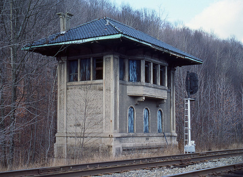
Elevation of Miller Rd, New Milford, PA, USA
Location: United States > Pennsylvania > Susquehanna County > Harford Township >
Longitude: -75.733621
Latitude: 41.78822
Elevation: 446m / 1463feet
Barometric Pressure: 96KPa
Related Photos:
Topographic Map of Miller Rd, New Milford, PA, USA
Find elevation by address:

Places near Miller Rd, New Milford, PA, USA:
Kingsley
3996 Tingley Lake Rd
3996 Tingley Lake Rd
Harford Township
6539 S Weston Rd
Brooklyn Township
Catlin Road
948 Creek Rd
Susquehanna County
505 Reynolds Pond Rd
Hop Bottom
328 Snyder Rd
3109 State Rte 2096
3109 State Rte 2096
Waterford Road
2938 State Rte 2067
3585 State Rte 2002
Lenox Township
Gibson Township
1709 State Rte 2024
Recent Searches:
- Elevation of Corso Fratelli Cairoli, 35, Macerata MC, Italy
- Elevation of Tallevast Rd, Sarasota, FL, USA
- Elevation of 4th St E, Sonoma, CA, USA
- Elevation of Black Hollow Rd, Pennsdale, PA, USA
- Elevation of Oakland Ave, Williamsport, PA, USA
- Elevation of Pedrógão Grande, Portugal
- Elevation of Klee Dr, Martinsburg, WV, USA
- Elevation of Via Roma, Pieranica CR, Italy
- Elevation of Tavkvetili Mountain, Georgia
- Elevation of Hartfords Bluff Cir, Mt Pleasant, SC, USA
