Elevation of Mill St, West Creek, NJ, USA
Location: United States > New Jersey > Ocean County > Eagleswood > West Creek >
Longitude: -74.309789
Latitude: 39.640108
Elevation: 4m / 13feet
Barometric Pressure: 101KPa
Elevation Map:
Satellite Map:
Related Photos:
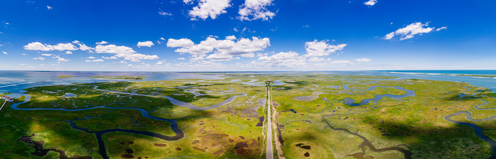
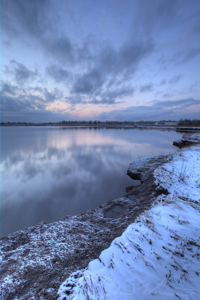
Great Bay Boulevard

River Green
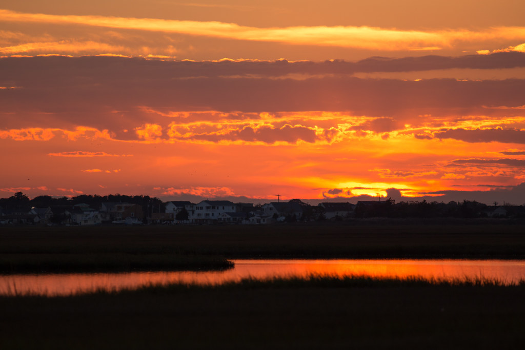
Great Bay Sunset

surf fishing
Hello ...

Bonnet Island....

Summer is almost here ...

Parker Run Creek Sunset

2014-07-17_20.53.54
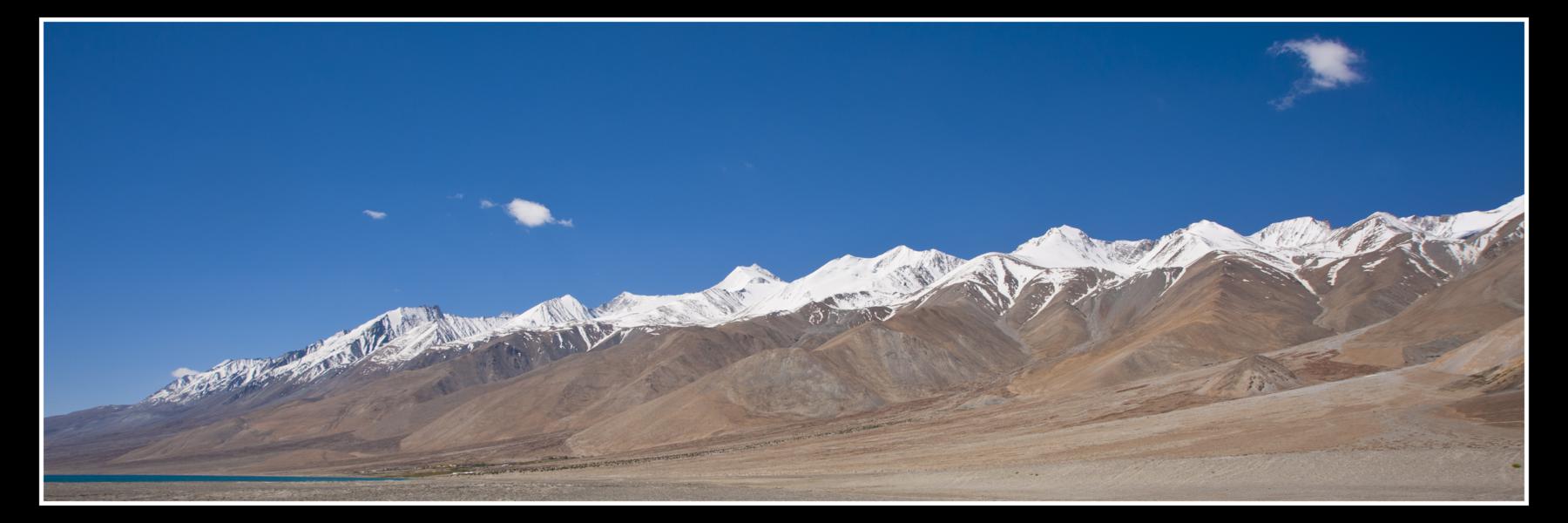
1043-pangong lake,ladakh

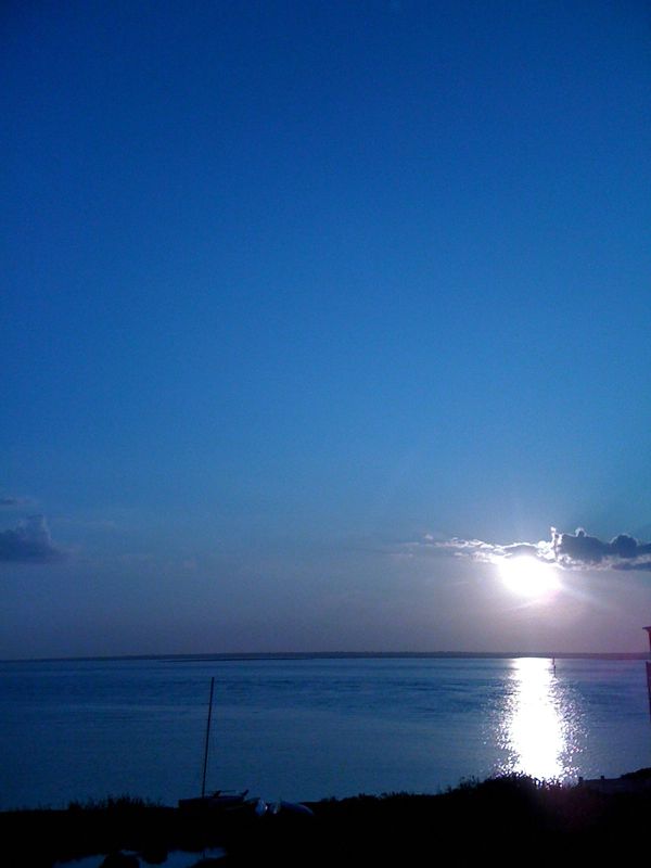
LBI Sunrise w/ Crepuscular Rays
Bass River Bay

LBI Sunset II

White Pine Stand

Seven Bridges Road
Summer's End
Topographic Map of Mill St, West Creek, NJ, USA
Find elevation by address:

Places near Mill St, West Creek, NJ, USA:
West Creek
180 Coxs Ave
Eagleswood
61 Brook St
735 U.s. 9
306 Dock Rd
249 Newport Way
1410 County Rd 539
436 Golf View Dr
437 Dock Rd
326 Wood St
301 Lake St
Tuckerton
Lake Street
809 Cedar St
S Green St, Tuckerton, NJ, USA
663 Cedar Run Dock Rd
153 Maple Ave
Little Egg Harbor Township
South Green Street
Recent Searches:
- Elevation of Corso Fratelli Cairoli, 35, Macerata MC, Italy
- Elevation of Tallevast Rd, Sarasota, FL, USA
- Elevation of 4th St E, Sonoma, CA, USA
- Elevation of Black Hollow Rd, Pennsdale, PA, USA
- Elevation of Oakland Ave, Williamsport, PA, USA
- Elevation of Pedrógão Grande, Portugal
- Elevation of Klee Dr, Martinsburg, WV, USA
- Elevation of Via Roma, Pieranica CR, Italy
- Elevation of Tavkvetili Mountain, Georgia
- Elevation of Hartfords Bluff Cir, Mt Pleasant, SC, USA