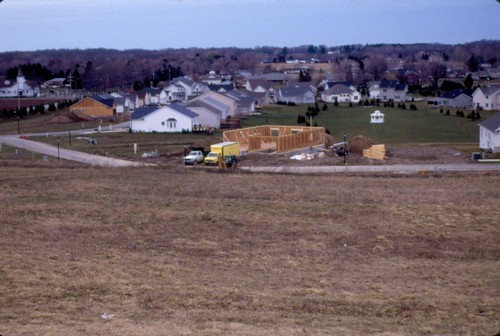
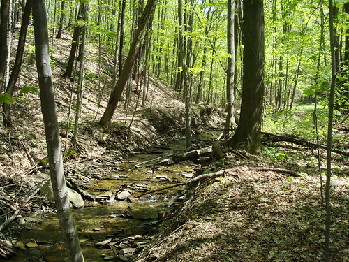
Elevation of Mill St, Girard, PA, USA
Location: United States > Pennsylvania > Erie County > Girard >
Longitude: -80.322157
Latitude: 41.9595008
Elevation: 268m / 879feet
Barometric Pressure: 98KPa
Related Photos:
Topographic Map of Mill St, Girard, PA, USA
Find elevation by address:

Places near Mill St, Girard, PA, USA:
Girard Township
6699 S Creek Rd
Girard
604 E Main
Cross Station Rd, Girard, PA, USA
8130 Old State Rd
Albion
East Springfield
Mcchesney Road
Springfield Township
Franklin Township
8750 Peffer Rd
Conneaut Township
12167 Carter Rd
West Springfield
6490 Rte 6n
Ridge Rd, West Springfield, PA, USA
13250 Tracy Keepville Rd
14188 Ridge Rd
Recent Searches:
- Elevation of Corso Fratelli Cairoli, 35, Macerata MC, Italy
- Elevation of Tallevast Rd, Sarasota, FL, USA
- Elevation of 4th St E, Sonoma, CA, USA
- Elevation of Black Hollow Rd, Pennsdale, PA, USA
- Elevation of Oakland Ave, Williamsport, PA, USA
- Elevation of Pedrógão Grande, Portugal
- Elevation of Klee Dr, Martinsburg, WV, USA
- Elevation of Via Roma, Pieranica CR, Italy
- Elevation of Tavkvetili Mountain, Georgia
- Elevation of Hartfords Bluff Cir, Mt Pleasant, SC, USA


