Elevation of Mill St, East Otto, NY, USA
Location: United States > New York > Cattaraugus County > East Otto > East Otto >
Longitude: -78.757871
Latitude: 42.3908474
Elevation: 432m / 1417feet
Barometric Pressure: 96KPa
Elevation Map:
Satellite Map:
Related Photos:
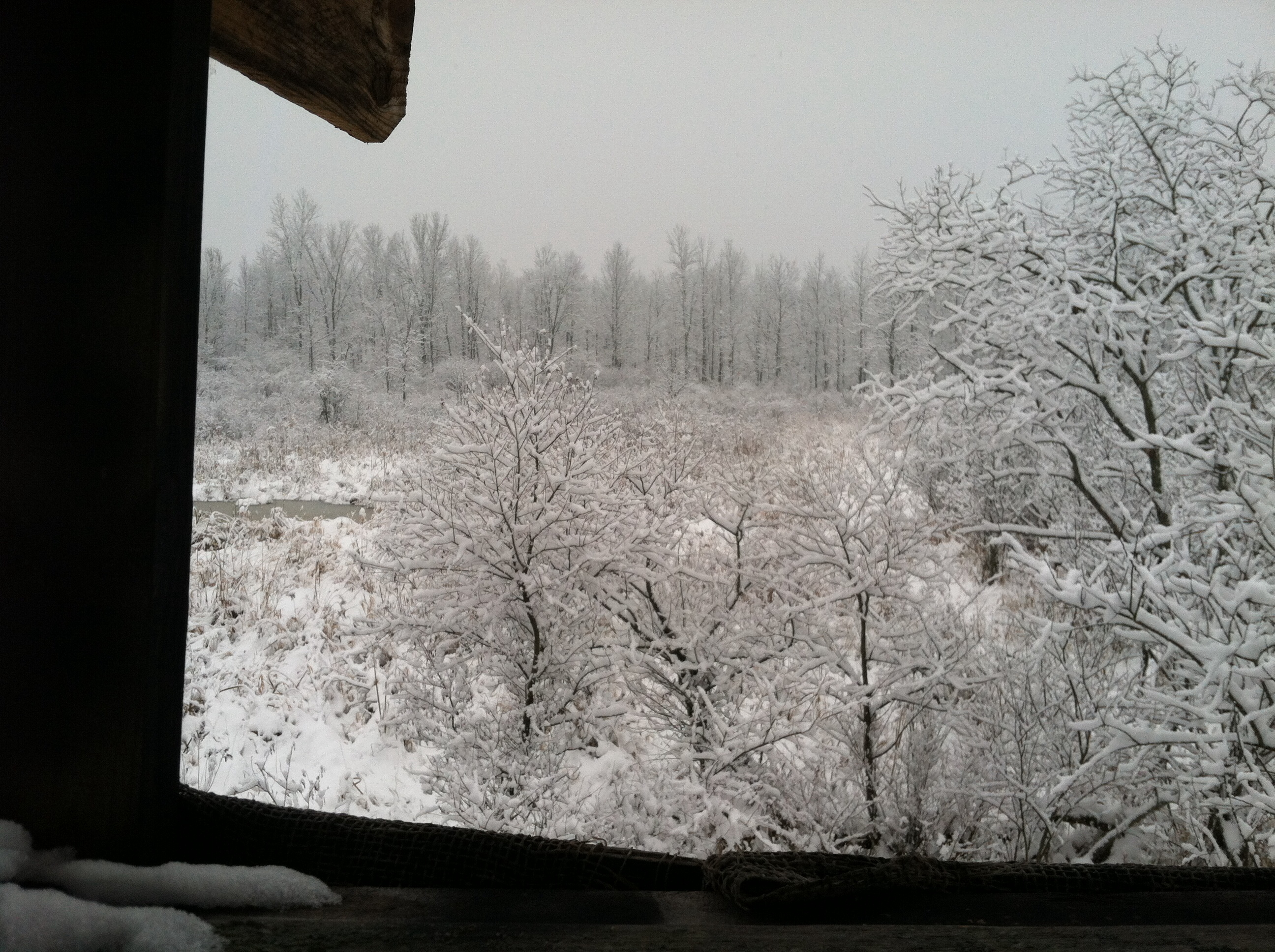
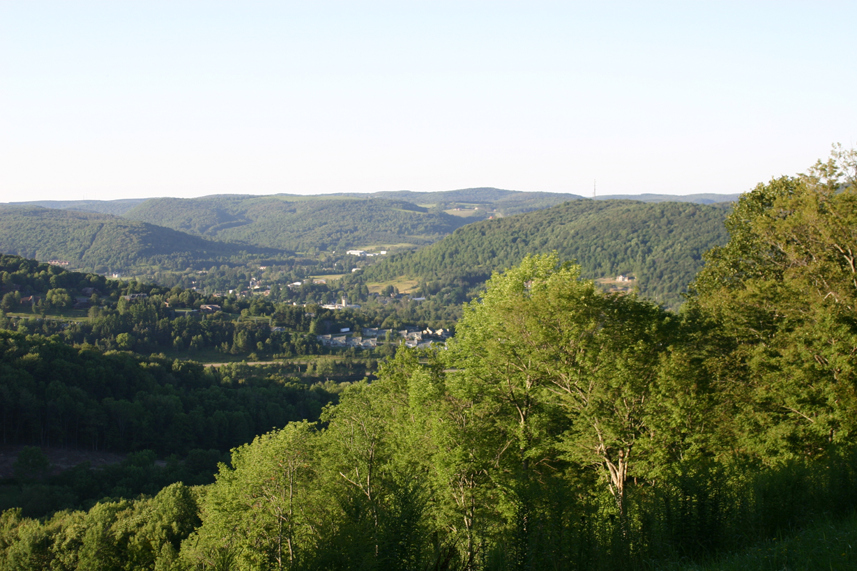
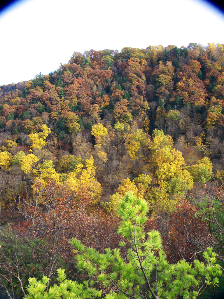
A view from my deer stand.
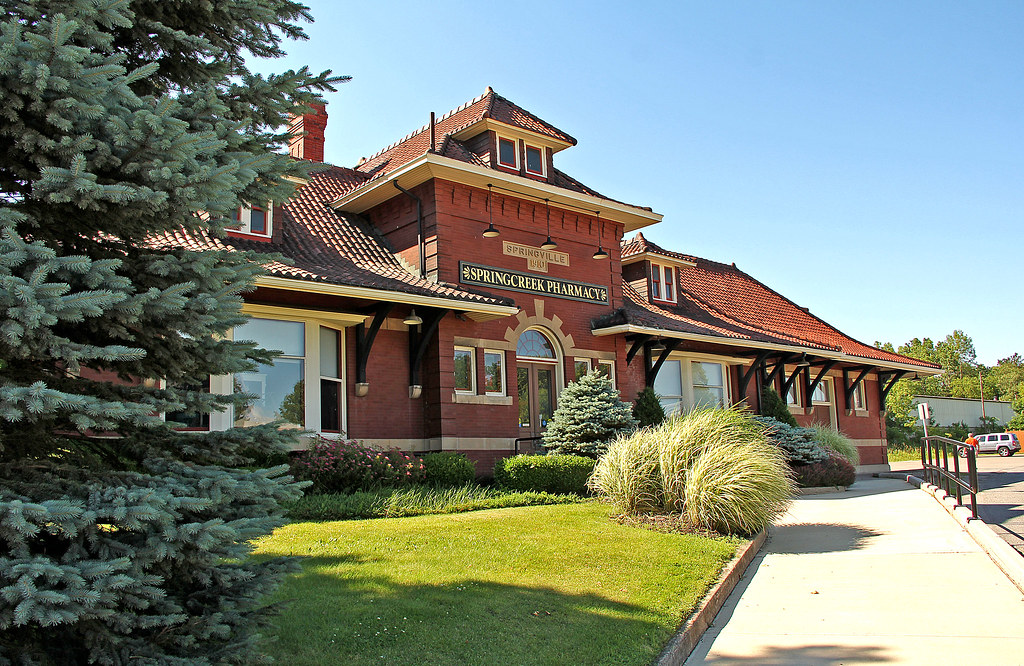
Springville Station
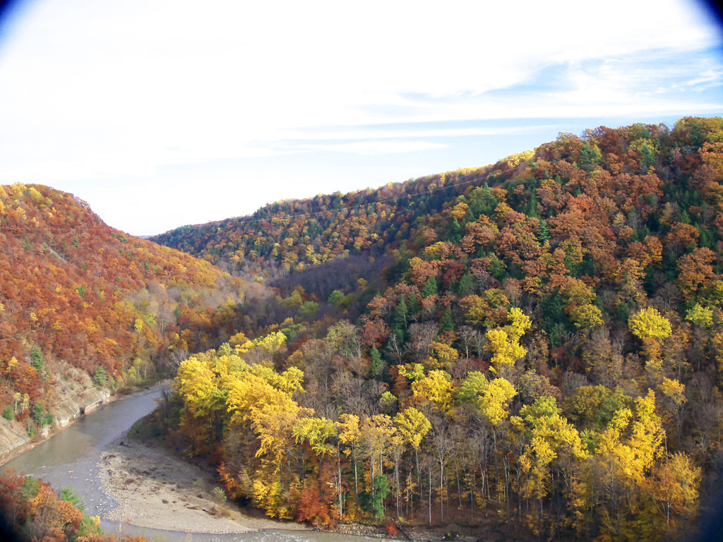
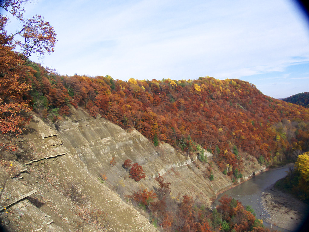
First View Of Zoar Valley

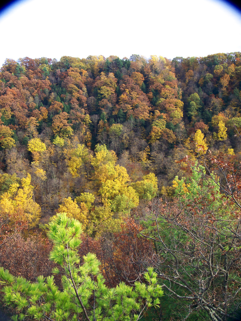
070808-02
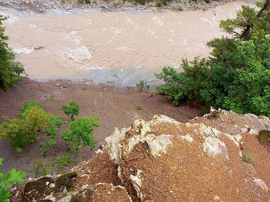
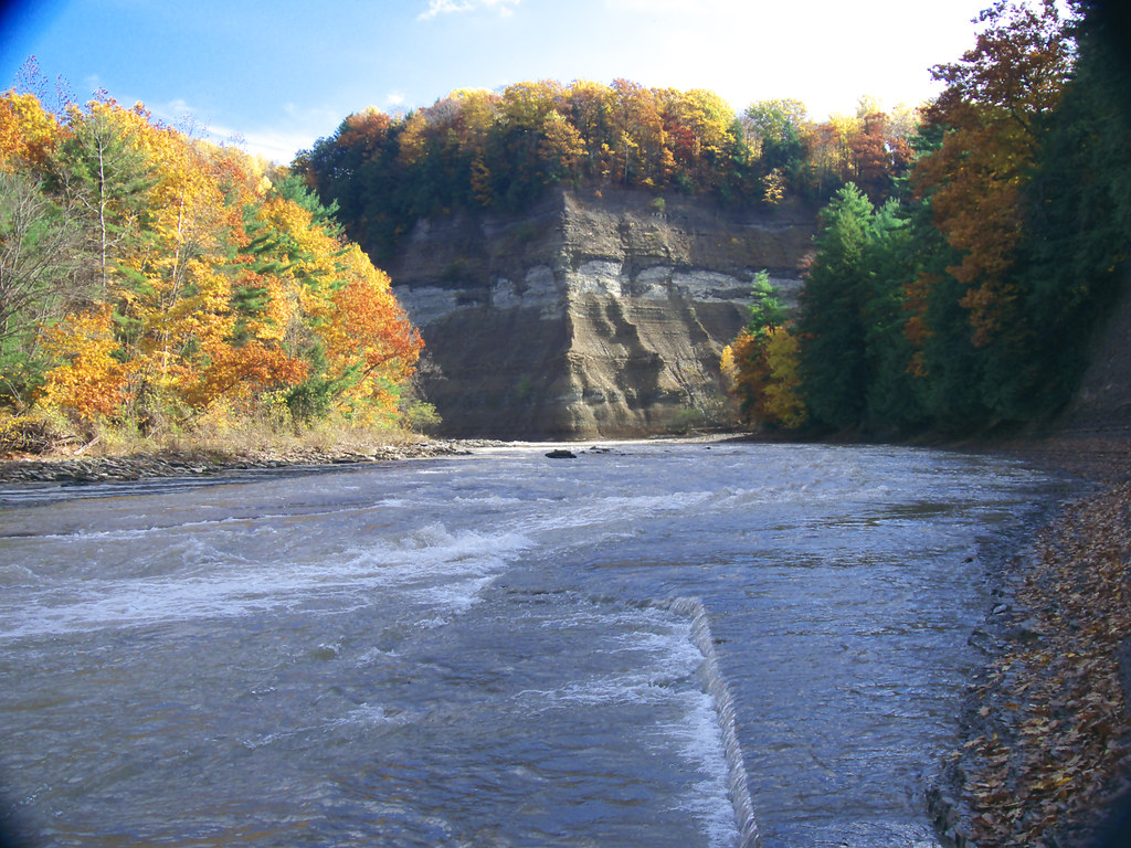
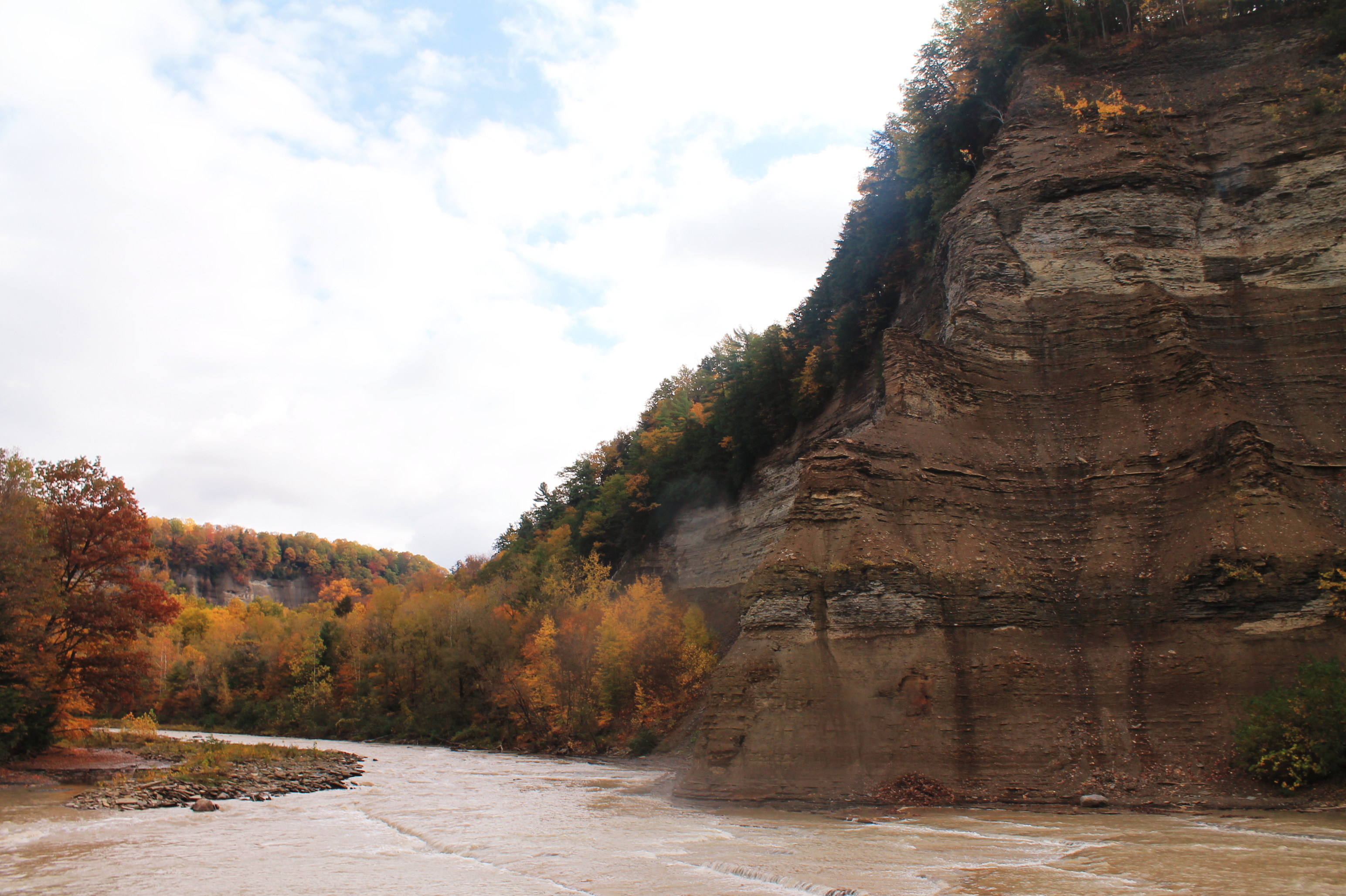
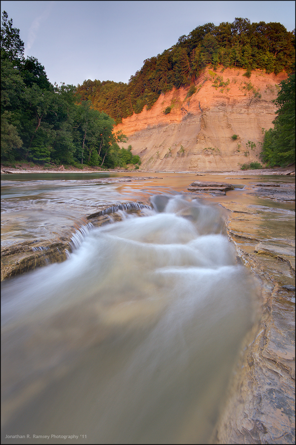
Looking over the edge of the Pyramid @ Zoar Valley, Cattaraugus Creek
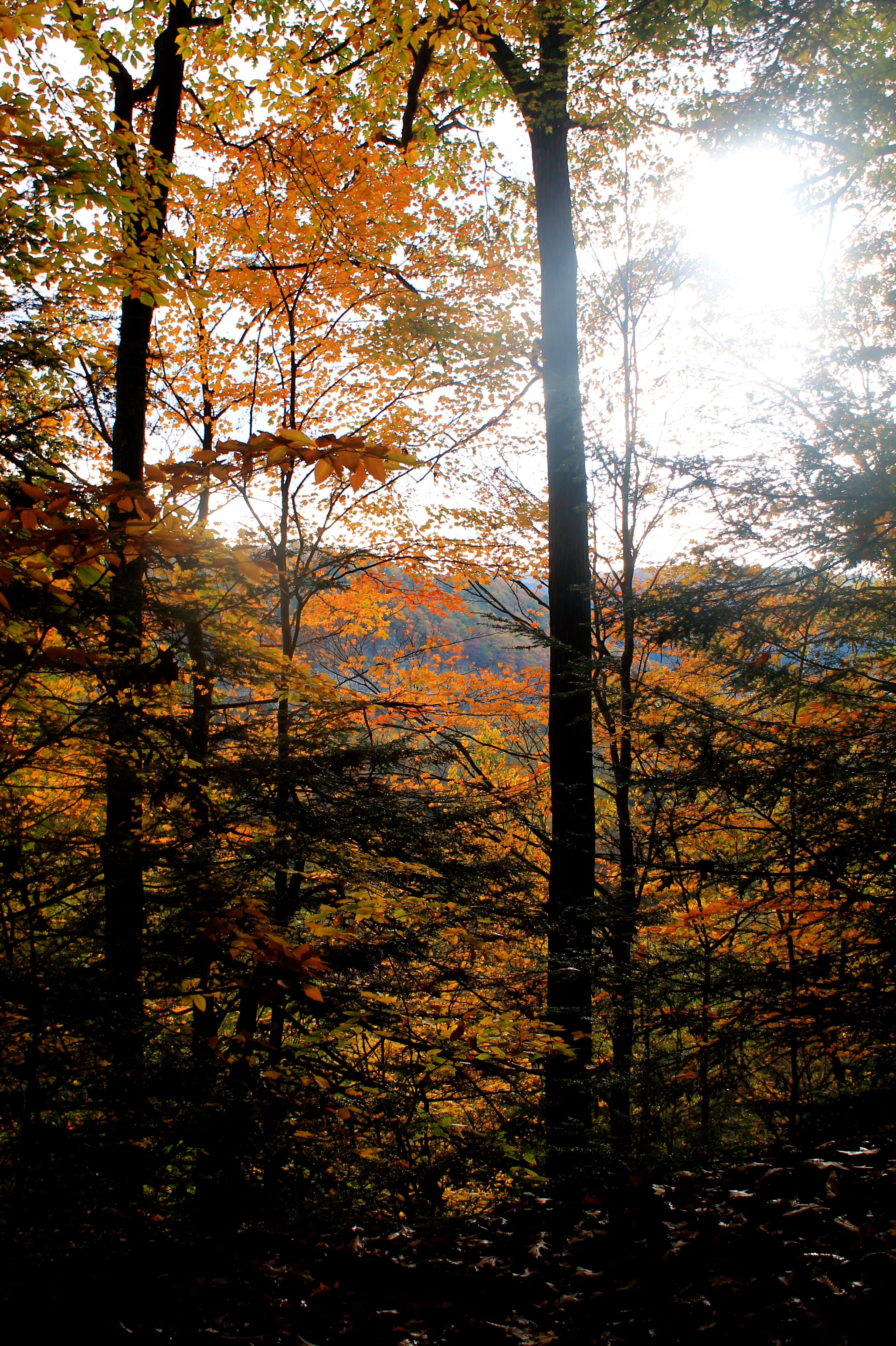
A view from the slopes - 1
OutFrmKnfEdgRdg 204_R
MartinPt-Convergence 165_R
OutFrmKnfEdgRdg 216_R
OutFrmKnfEdgRdg 215_R
A-NatBBBeach27_R
OutFrmKnfEdgRdg 202_R

"Hey mister, take our picture!"
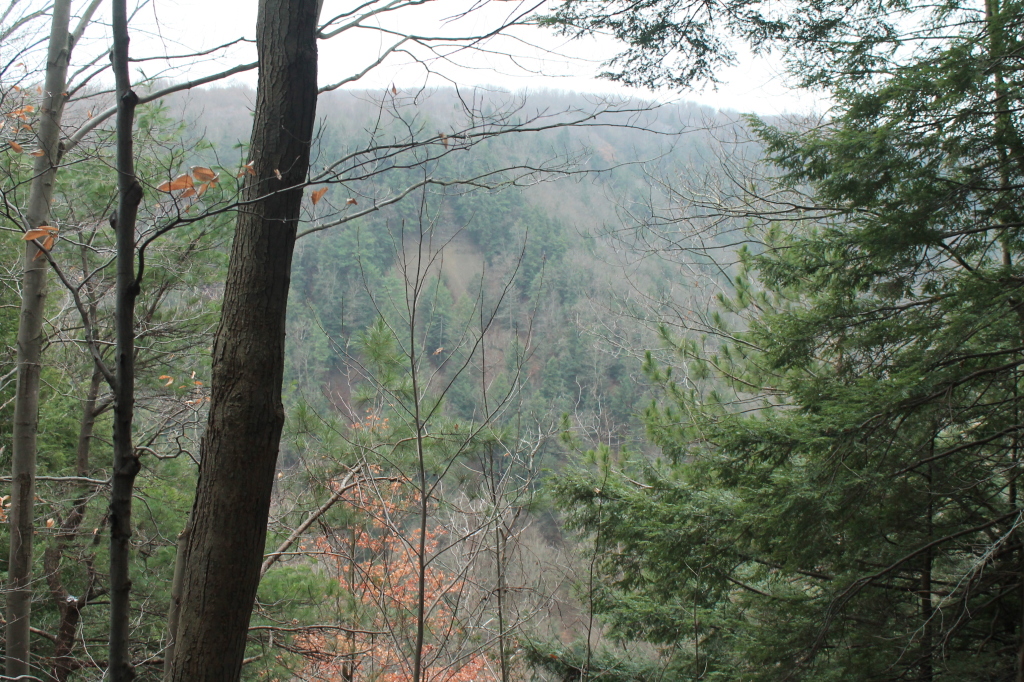
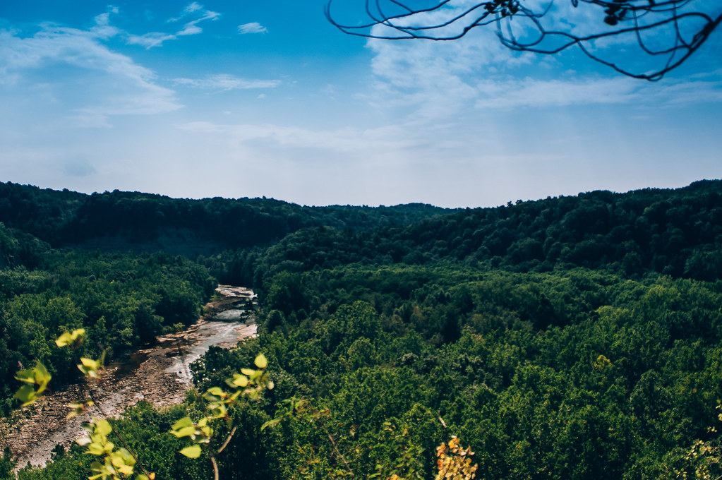
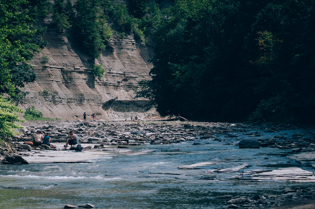
Small View Into the Gorge
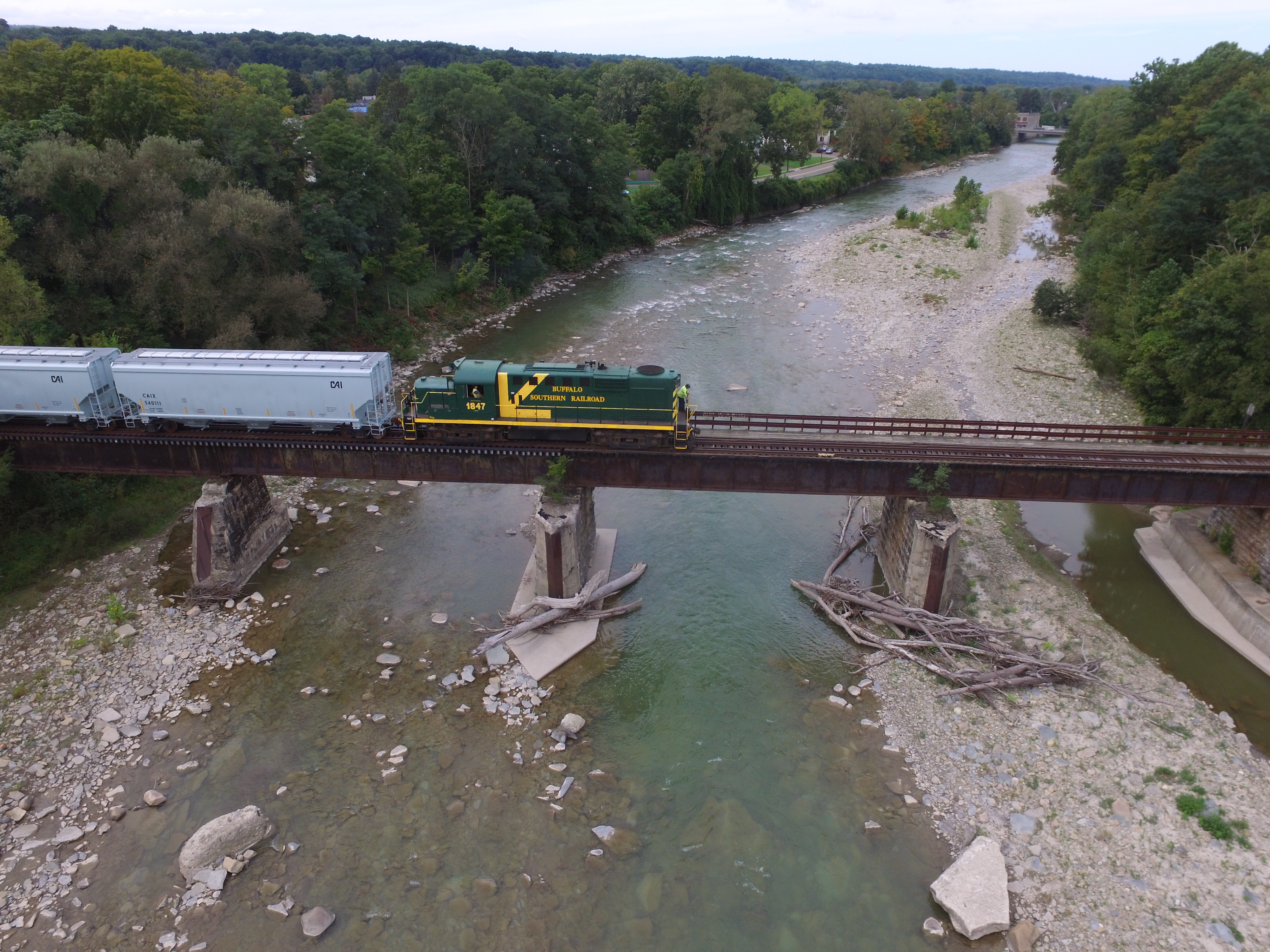
BSOR 1847 pulls 20 empty covered hoppers over Cattaraugus Creek as it departs NYLE property. These are the last 20 cars stored on the NYLE. The NYLE has no current customers, so it may be a while before this route sees freight activity again.
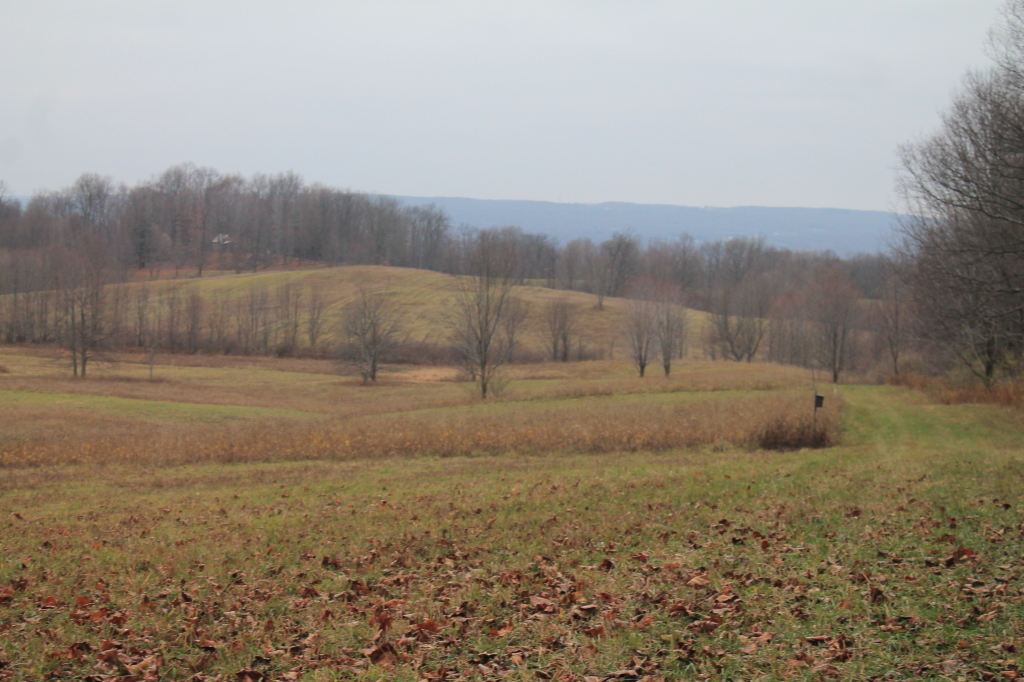
Open Space
Zoar is Gorges
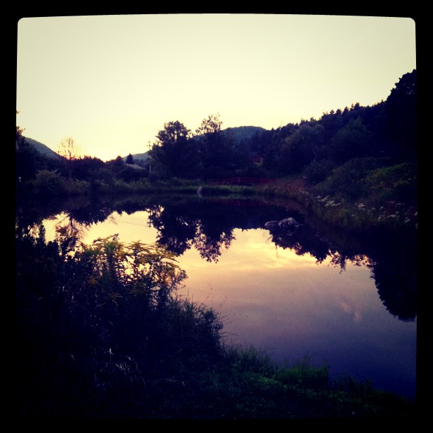
Nannen Pond

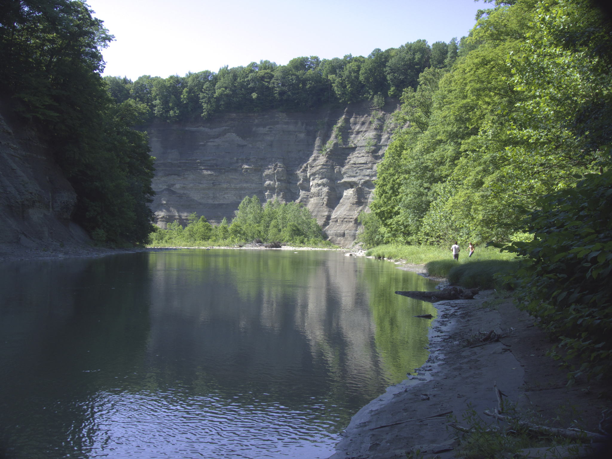
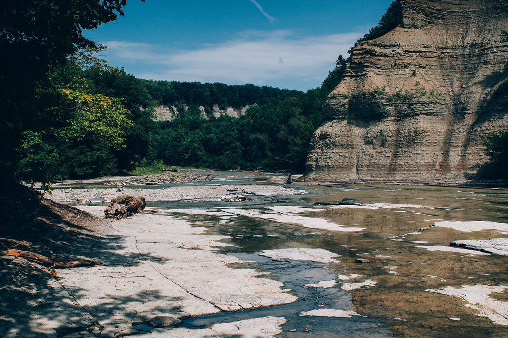
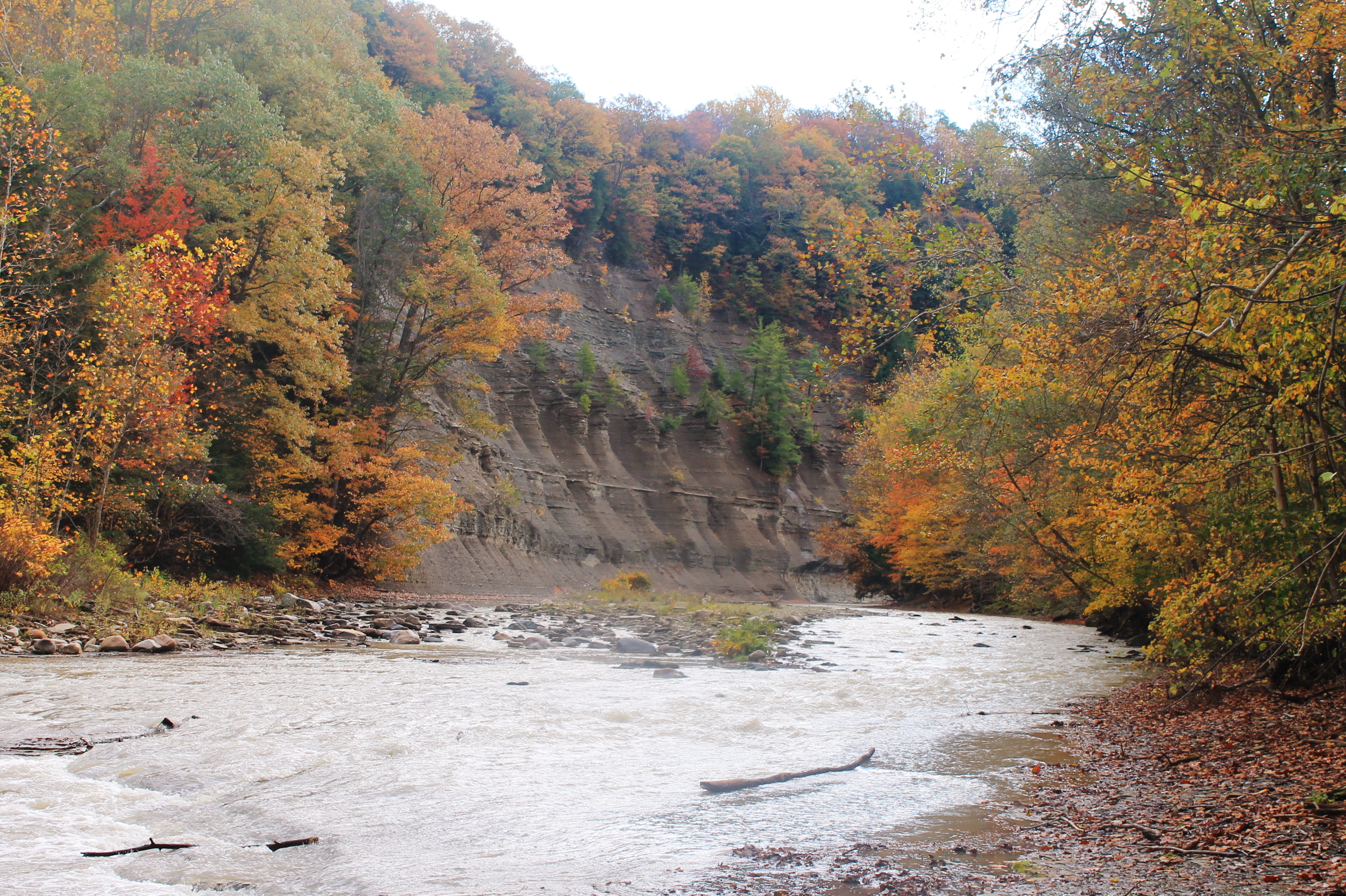
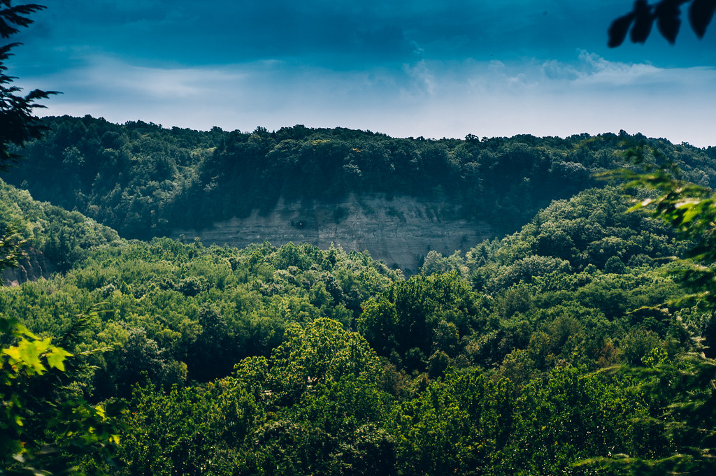
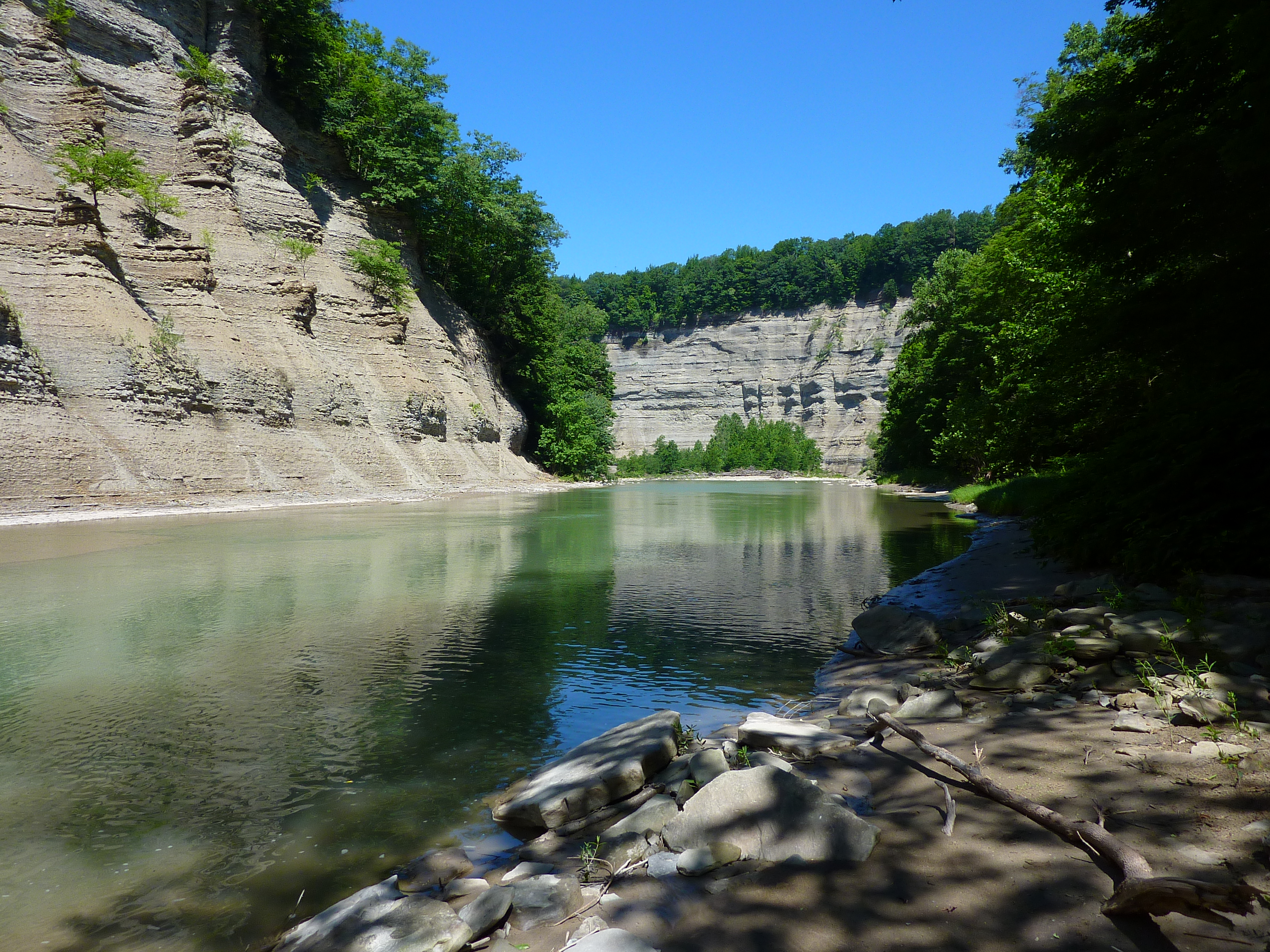
Zoar Valley
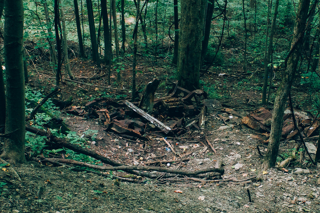
Old Car
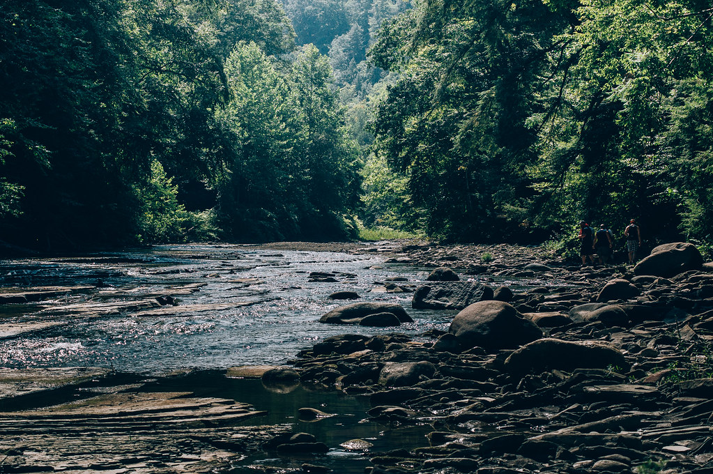
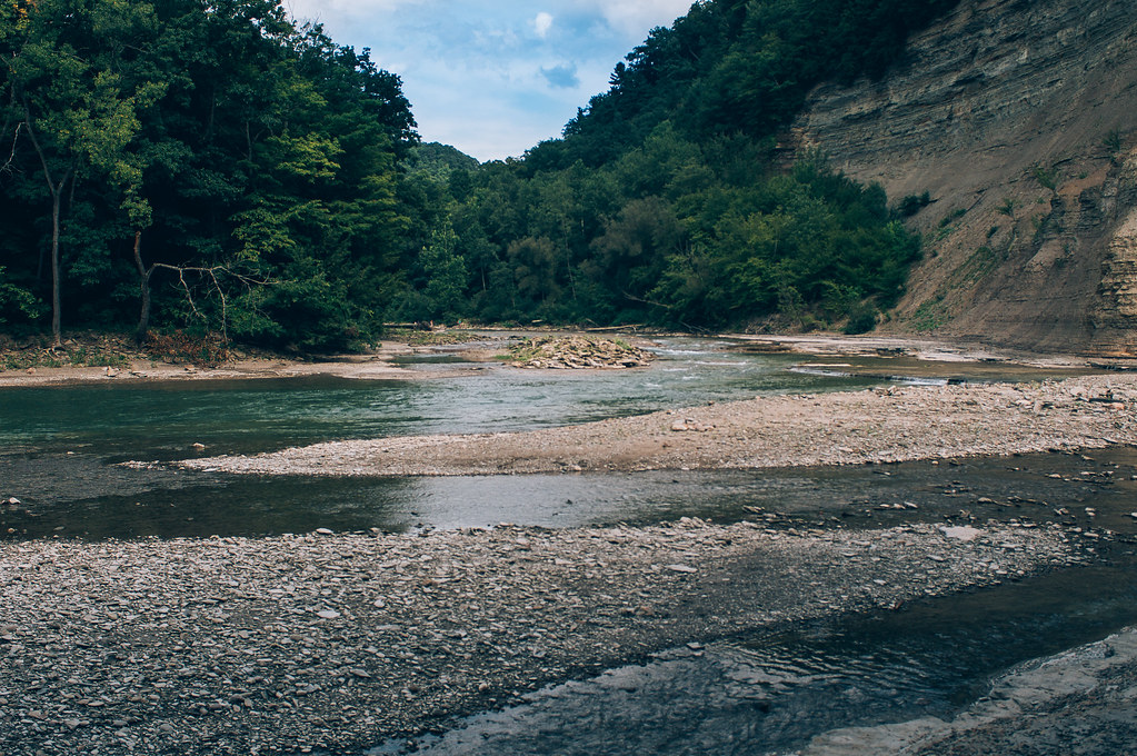
Along The South Branch
DSC03260.jpg
Nose Where The South Branch Of Cattaragus Creek Joins The Main Branch
Zoar Valley

HIP_334953163.706315
Last Light at Martin's Point

SDIM0386.jpg
DSC03300.jpg

Over or Under

Blanketed in Green

Zoar Valley
Zoar Valley
A little shade
DSC03274.jpg
Topographic Map of Mill St, East Otto, NY, USA
Find elevation by address:

Places near Mill St, East Otto, NY, USA:
East Otto
East Otto
Otto
10549 Hammond Hill Rd
Gowanda Zoar Rd, Gowanda, NY, USA
4676 Scrabble Hill Rd
Collins
Collins
Albee Road
Persia
12516 Sisson Hwy
2328 Gowanda Zoar Rd
18 Beech St
23 NY-39, Gowanda, NY, USA
Gowanda
Markhams Rd, Gowanda, NY, USA
Lenox Rd, Collins, NY, USA
Dayton
Lawtons
Dayton
Recent Searches:
- Elevation of Corso Fratelli Cairoli, 35, Macerata MC, Italy
- Elevation of Tallevast Rd, Sarasota, FL, USA
- Elevation of 4th St E, Sonoma, CA, USA
- Elevation of Black Hollow Rd, Pennsdale, PA, USA
- Elevation of Oakland Ave, Williamsport, PA, USA
- Elevation of Pedrógão Grande, Portugal
- Elevation of Klee Dr, Martinsburg, WV, USA
- Elevation of Via Roma, Pieranica CR, Italy
- Elevation of Tavkvetili Mountain, Georgia
- Elevation of Hartfords Bluff Cir, Mt Pleasant, SC, USA