Elevation of Mill Creek Road, Mill Creek Rd, Cartoogechaye, NC, USA
Location: United States > North Carolina > Macon County > Franklin > Franklin >
Longitude: -83.457979
Latitude: 35.1721299
Elevation: 680m / 2231feet
Barometric Pressure: 93KPa
Elevation Map:
Satellite Map:
Related Photos:

Fringed Phacelia

View in the evening!
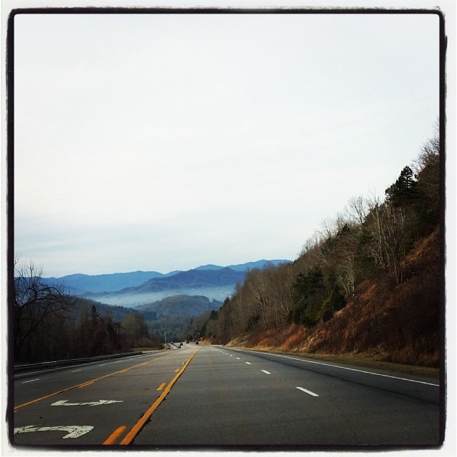
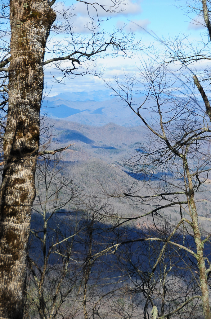
Driving thru the Smokey Mountains, what a view!

Fire Pink
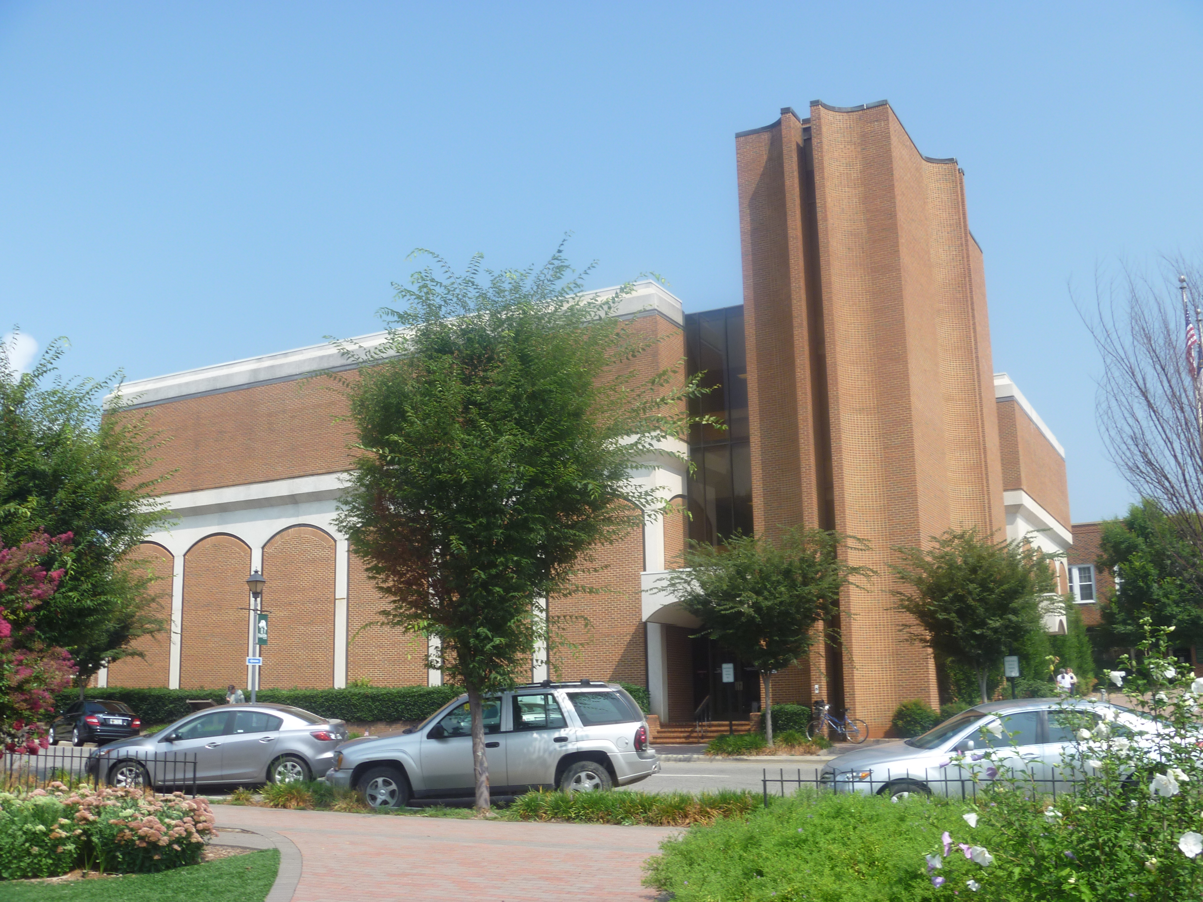
Side View Of Macon County Courthouse
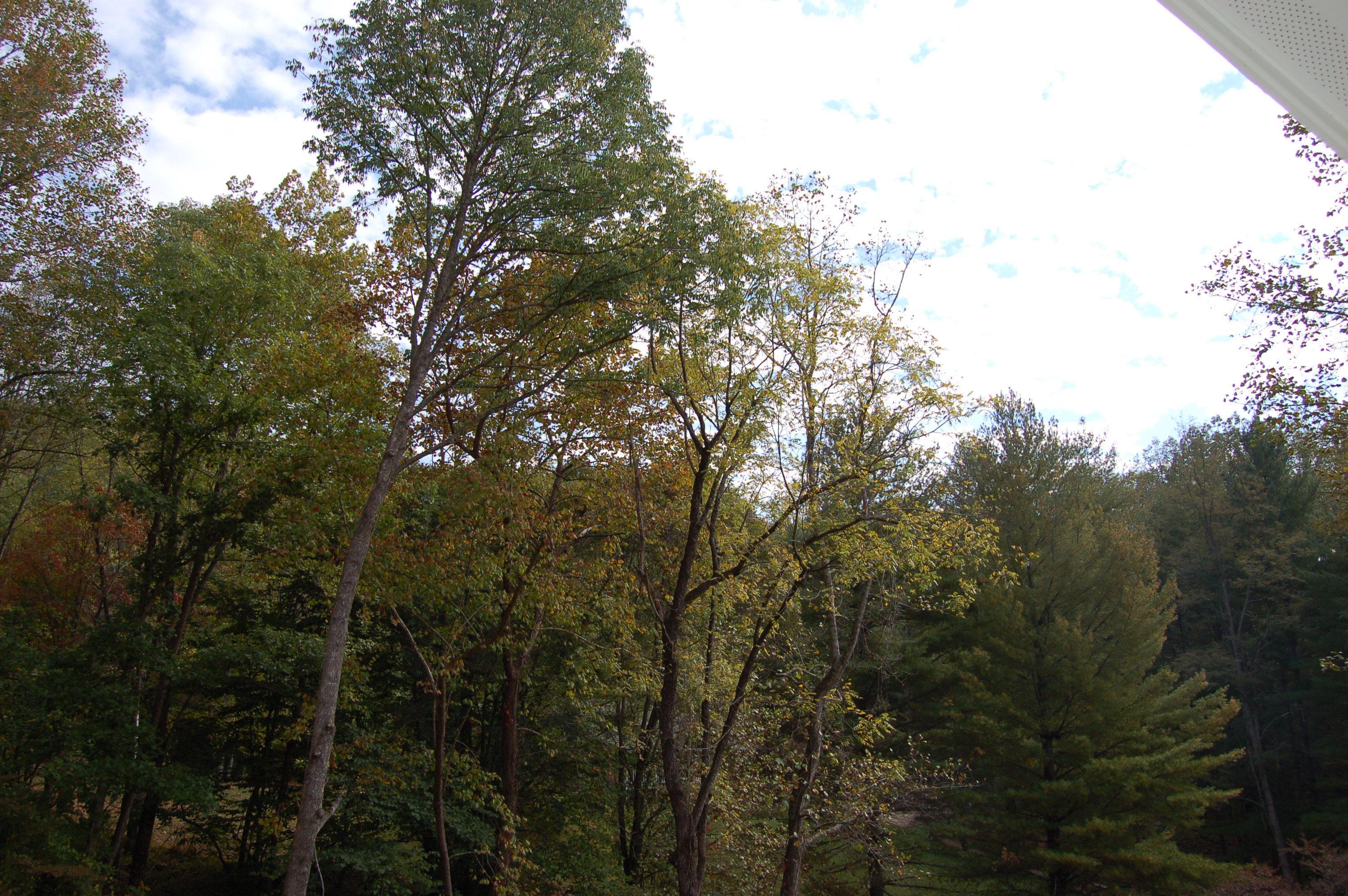
Front Porch View 1
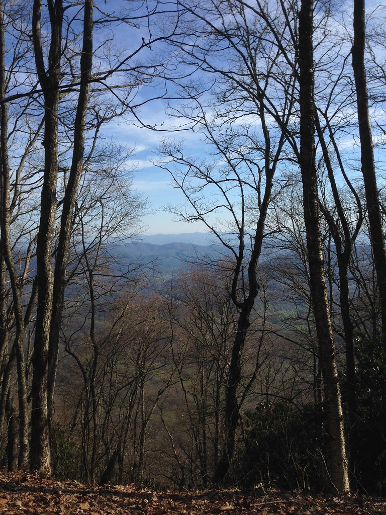
Trail View Heading to W4C/WM-023 - Copper Ridge Bald
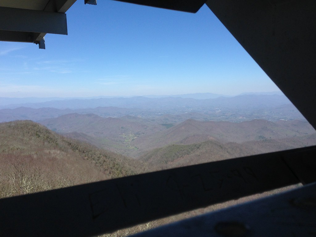
West View from Wesser Bald Observation Tower

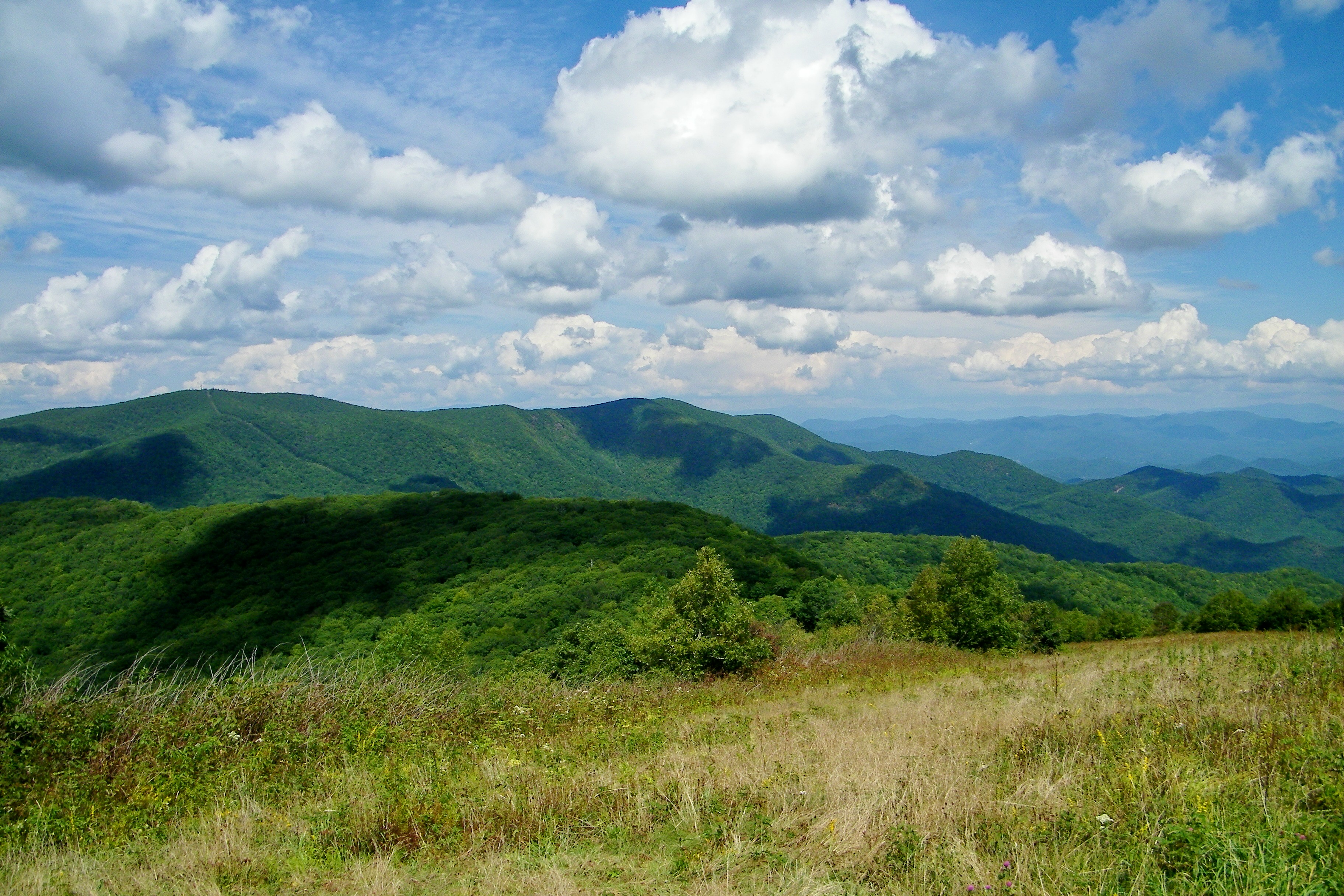
W4C/WM-024 - Siler Bald View
Standing Indian22
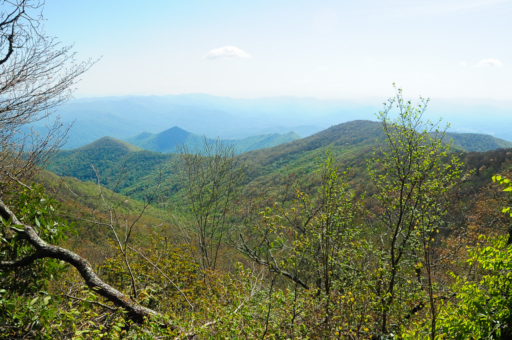
View from Silar Bald
View from Wayah Bald Tower
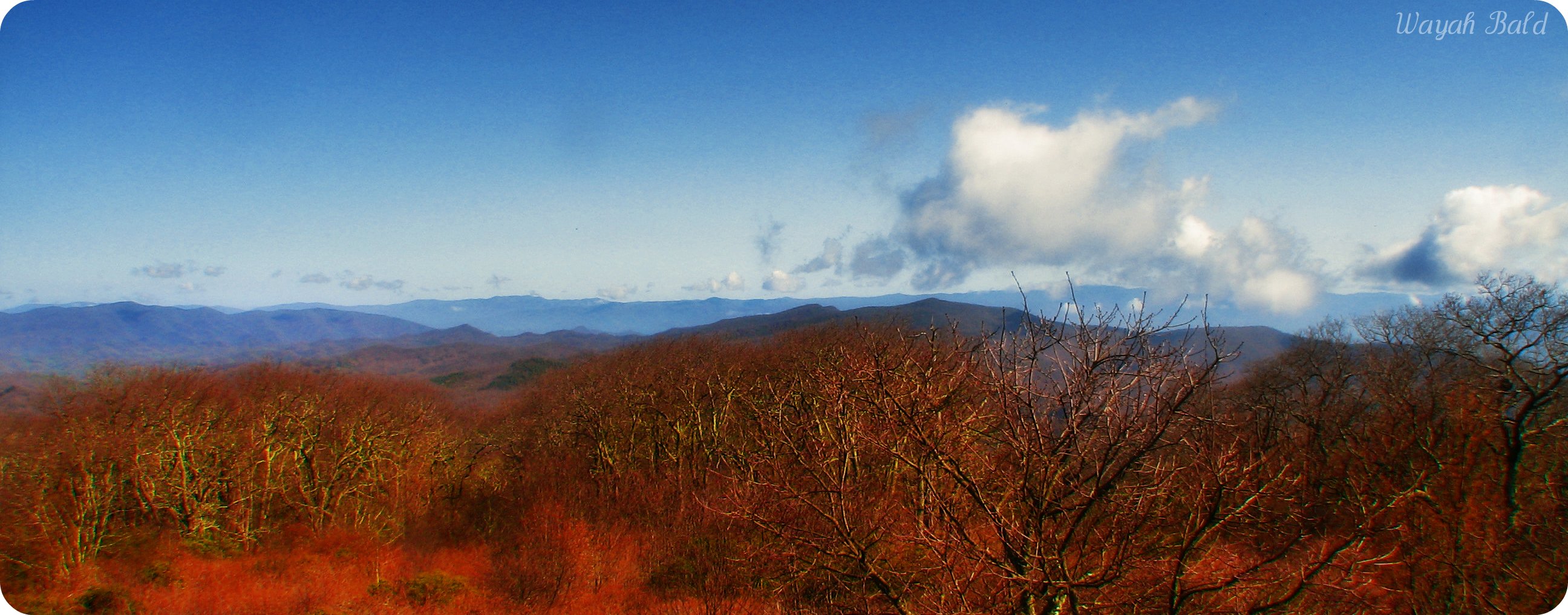
Wayah Bald
View from Albert Mountain
Halfway up Runaway Knob
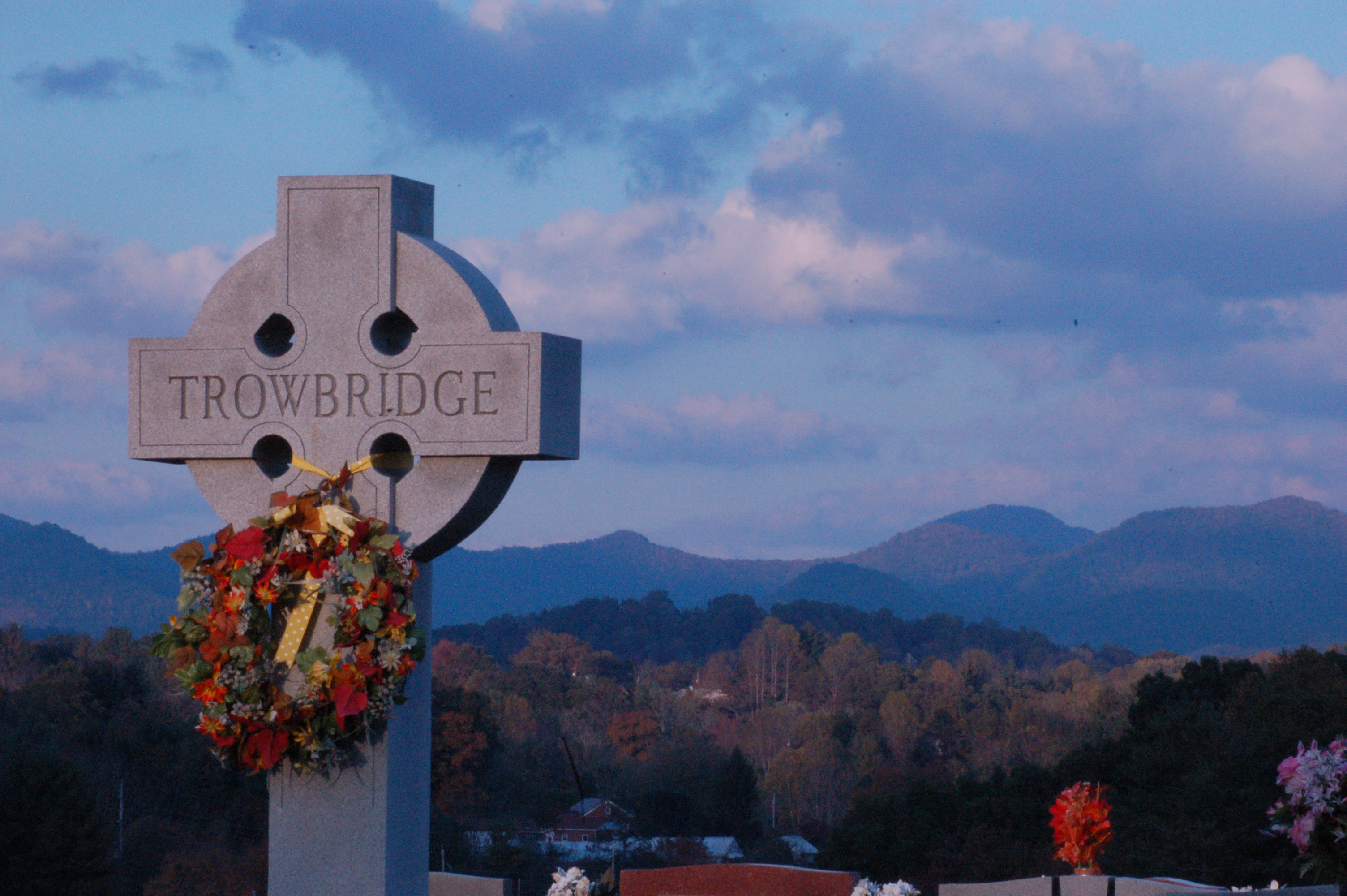
Cemetary View
Standing Indian23

Wayah Bald Fire Tower - Franklin, North Carolina (HDR)
View from W4C/WM-065 - Rocky Cove Knob
Silers Bald

Albert Mountain Fire Tower
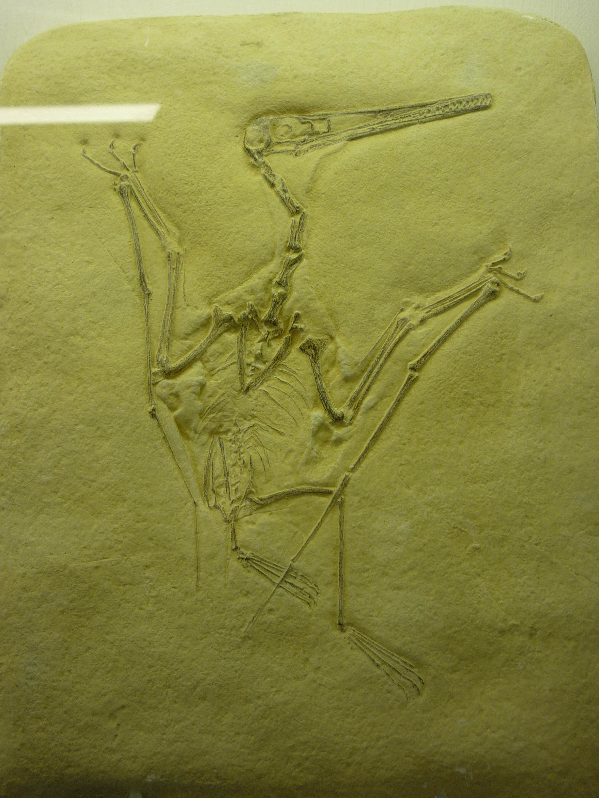
bird-like fossil
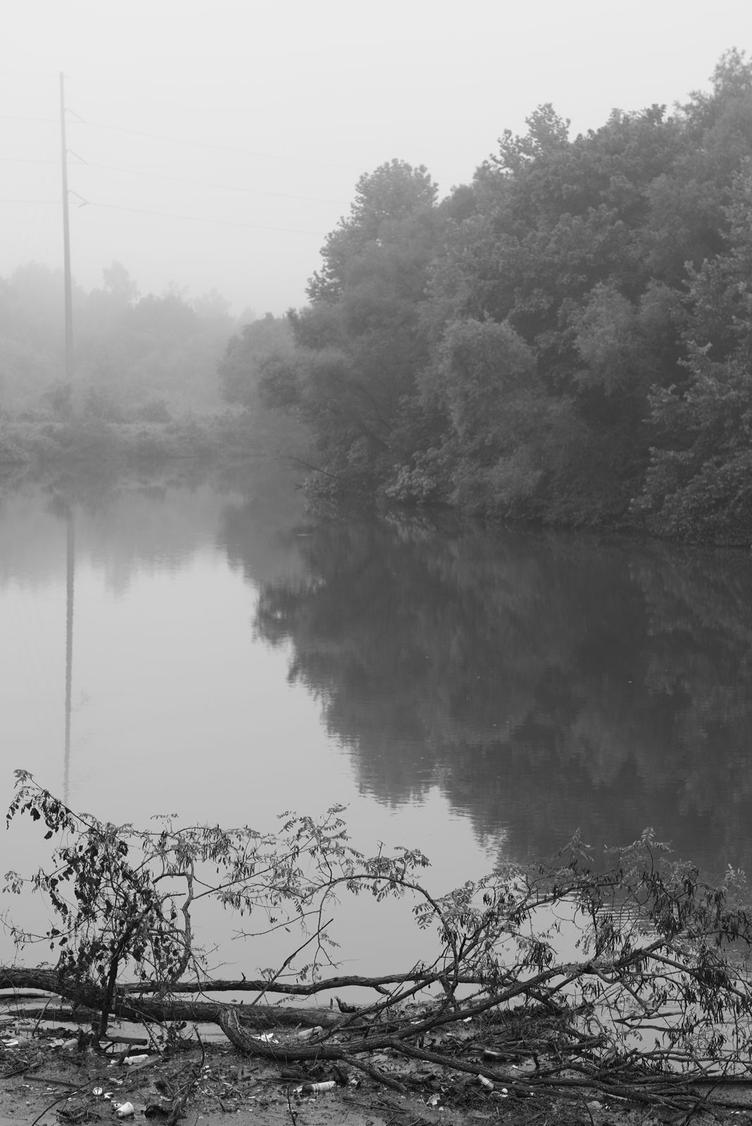
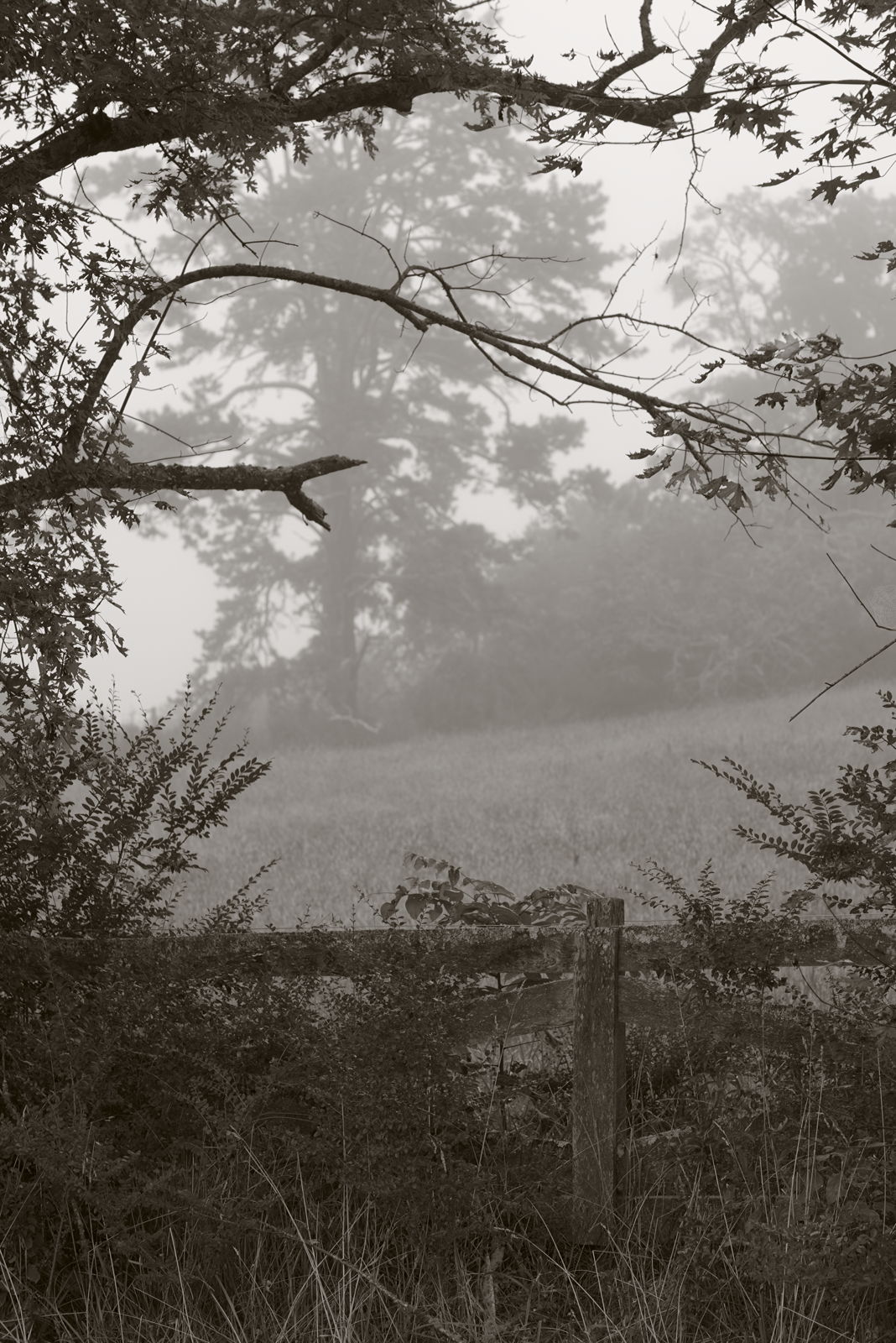
Between the river and the fog
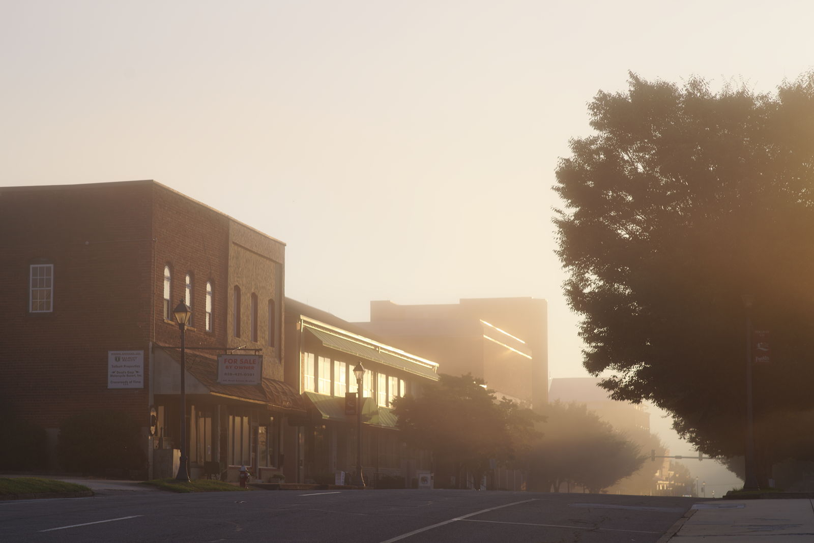
Morning on Main Street
Wesser Bald Observation Tower - Macon County, North Carolina (HDR)
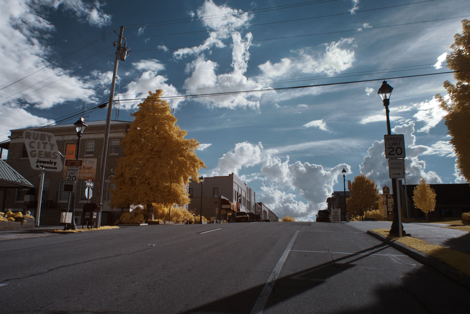
Ruby City
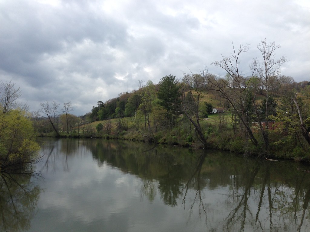
Little Tennessee River
Fields of Gold | Franklin, NC
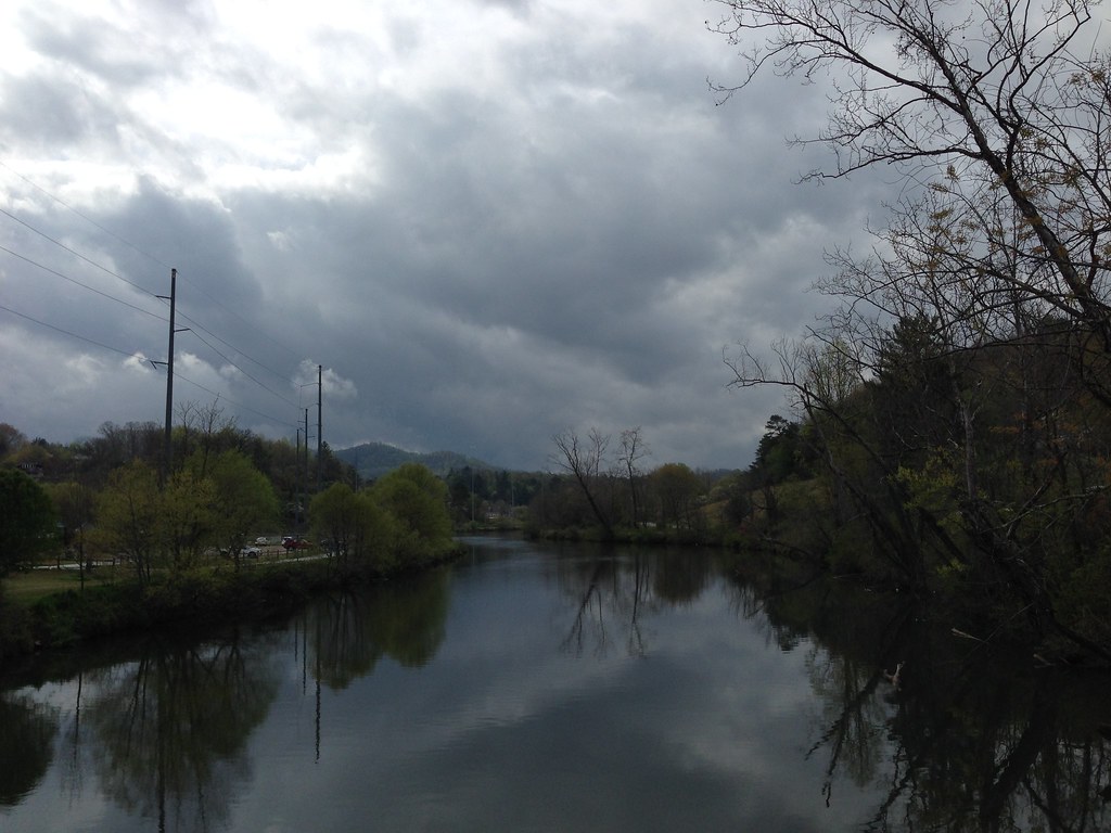
Little Tennessee River
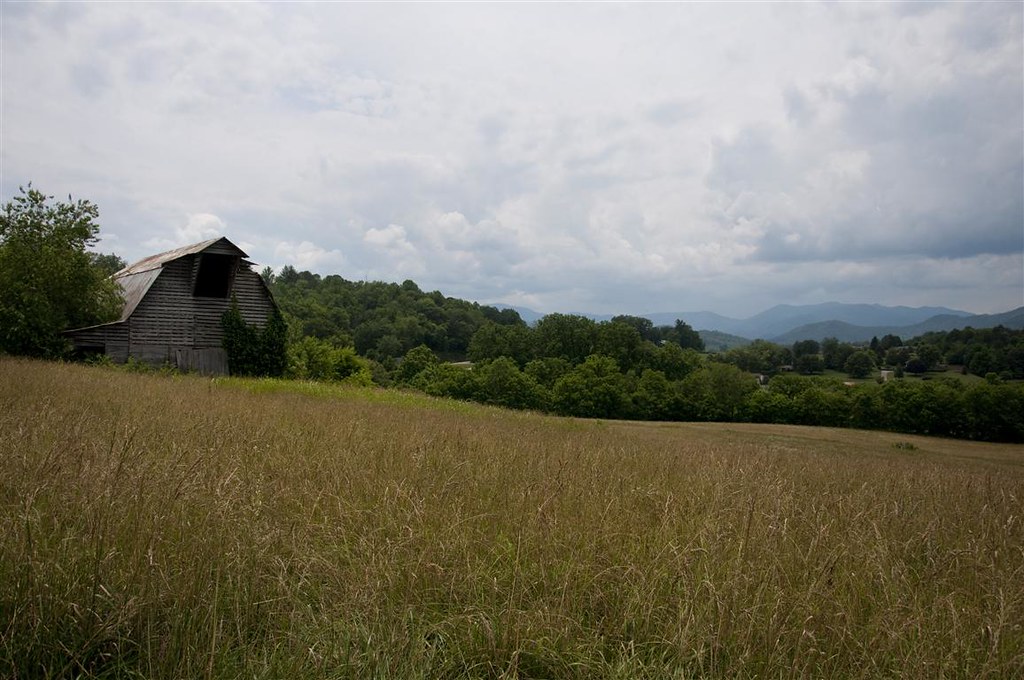
Town and country

Rufus Morgan Falls

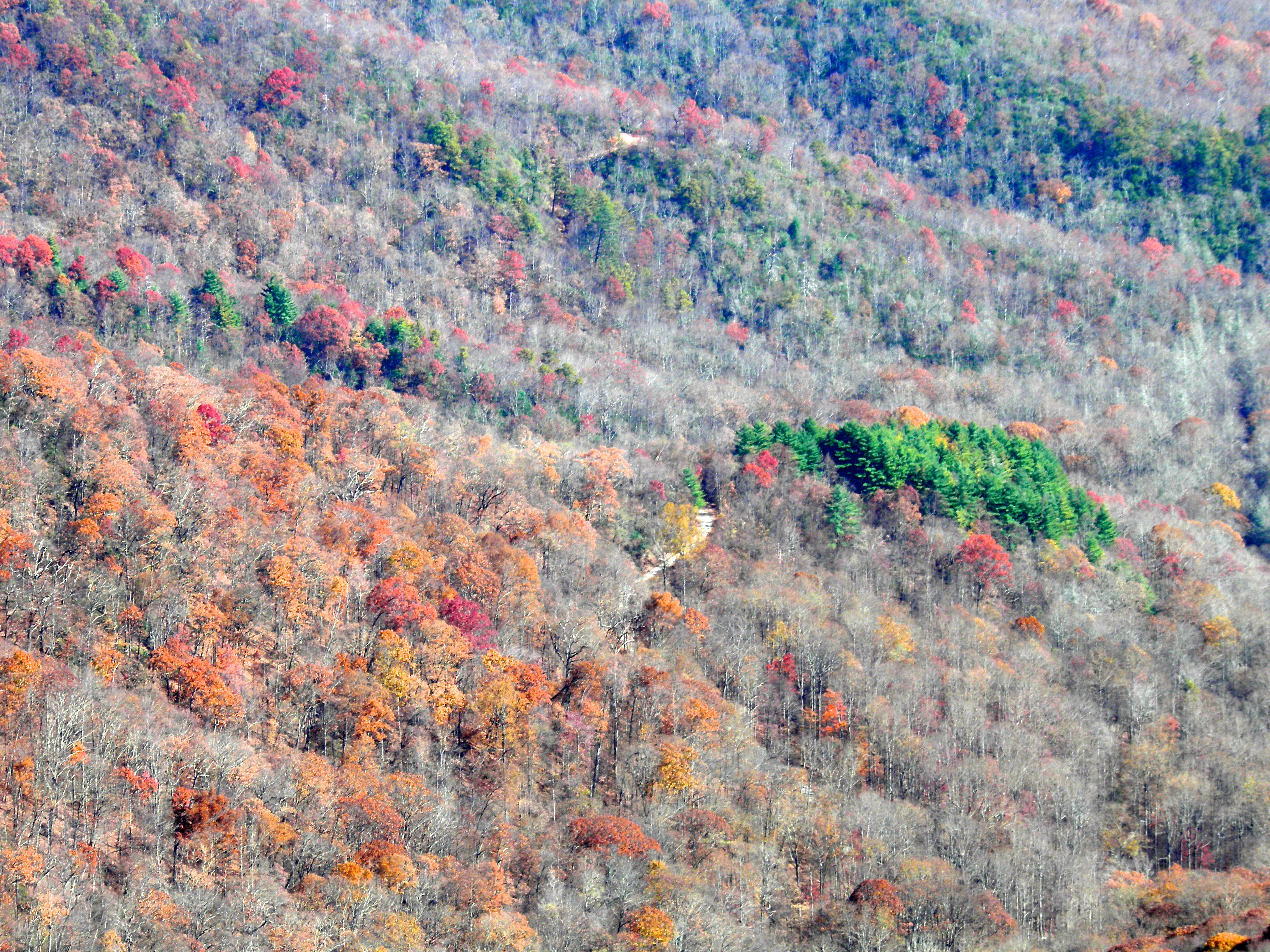
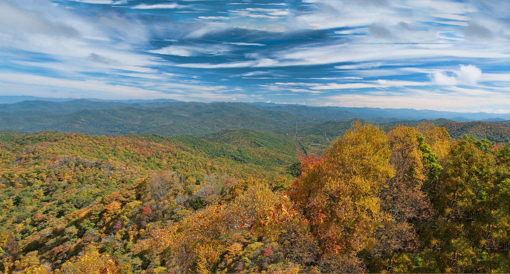
Fall colors
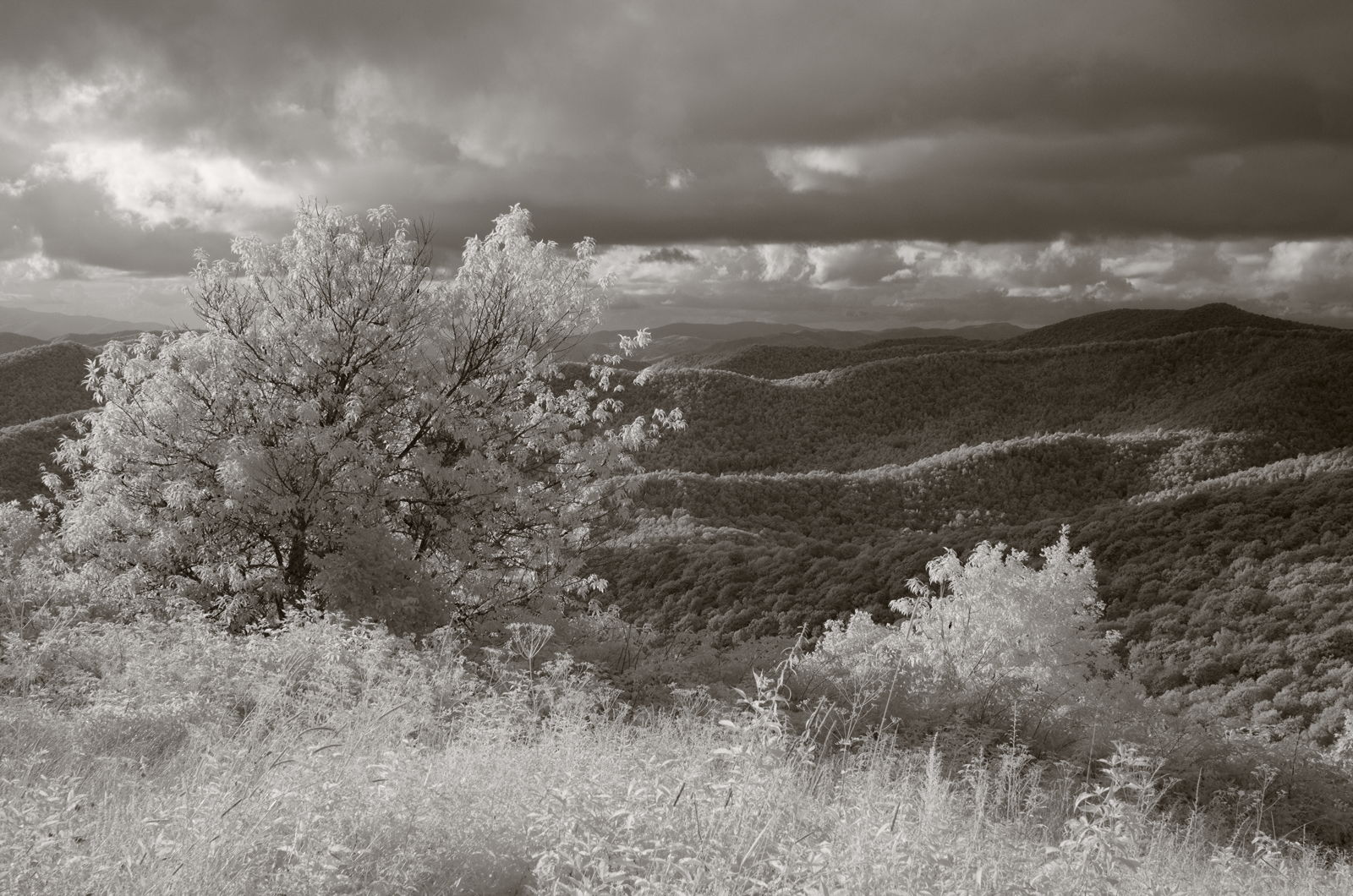
Mountain waves
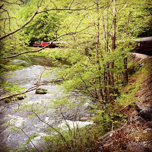
Train tour of the Great Smoky Mts

Big Laurel Falls #franklin #standingindian #appalachia #blueridgecountry #welovenc #we_see_wnc #wilderness_culture #biglaurelfalls #diamondbrand_outdoors #cmc100challenge #stream #falls #explore #westernnorthcarolina #landofwaterfalls

Rufus Morgan Trailhead-8426
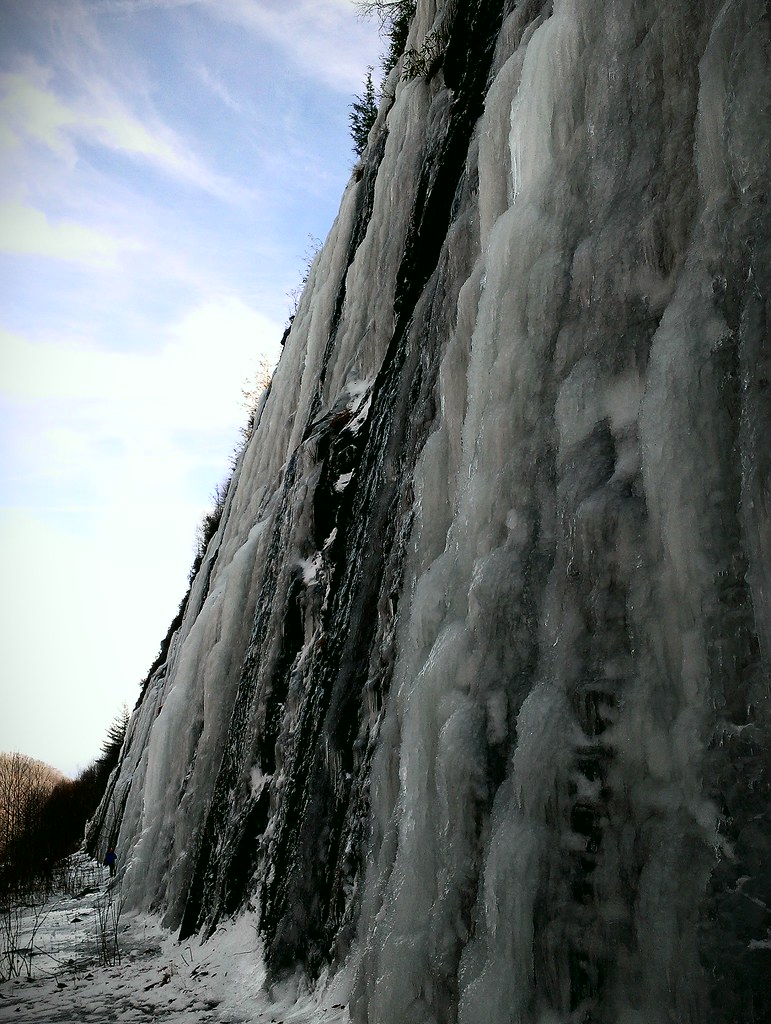
Interstate ice wall

Low cloudbank descending over the Pinnacle from Albert Mountain summit, Nantahala National Forest
Topographic Map of Mill Creek Road, Mill Creek Rd, Cartoogechaye, NC, USA
Find elevation by address:

Places near Mill Creek Road, Mill Creek Rd, Cartoogechaye, NC, USA:
1010 Mill Creek Rd
14 Mint Lake Rd
1096 Mill Creek Rd
50a Mint Lake Ct E
177 Fair Way Dr
95 Crescent Ridge Dr
241 Marshwood Way
240 Chestnut Hill Dr
852 Country Club Dr
138 Forest Ridge Dr
39 Marshwood Way
1027 Country Club Dr
115 Chestnut Hill Dr
Ridgecrest Villas Drive
300 Maclor Forest Rd
Wind Forest Drive
150 Laurel Dr
95 Maclor Forest Cir
505 Oak Creek Rd
211 Laurel Dr
Recent Searches:
- Elevation of Corso Fratelli Cairoli, 35, Macerata MC, Italy
- Elevation of Tallevast Rd, Sarasota, FL, USA
- Elevation of 4th St E, Sonoma, CA, USA
- Elevation of Black Hollow Rd, Pennsdale, PA, USA
- Elevation of Oakland Ave, Williamsport, PA, USA
- Elevation of Pedrógão Grande, Portugal
- Elevation of Klee Dr, Martinsburg, WV, USA
- Elevation of Via Roma, Pieranica CR, Italy
- Elevation of Tavkvetili Mountain, Georgia
- Elevation of Hartfords Bluff Cir, Mt Pleasant, SC, USA