Elevation of Mill Creek Rd, Sheridan, MT, USA
Location: United States > Montana > Madison County > Sheridan >
Longitude: -112.13834
Latitude: 45.468008
Elevation: 1716m / 5630feet
Barometric Pressure: 82KPa
Elevation Map:
Satellite Map:
Related Photos:
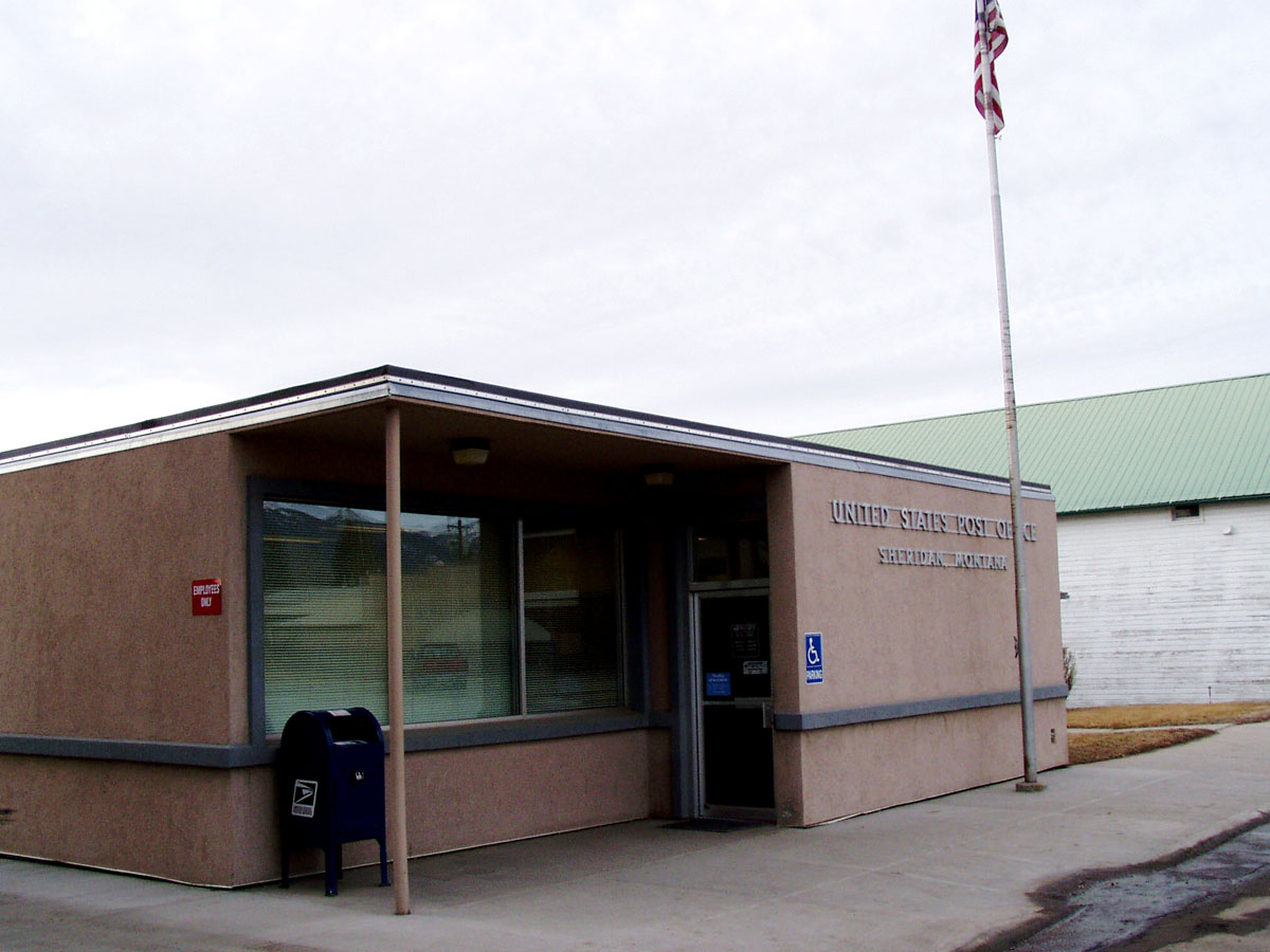
Sheridan, Montana 59749
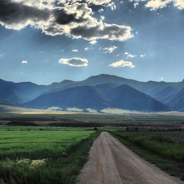
View along my afternoon walk
080801_028-View from Ruby Springs Lodge
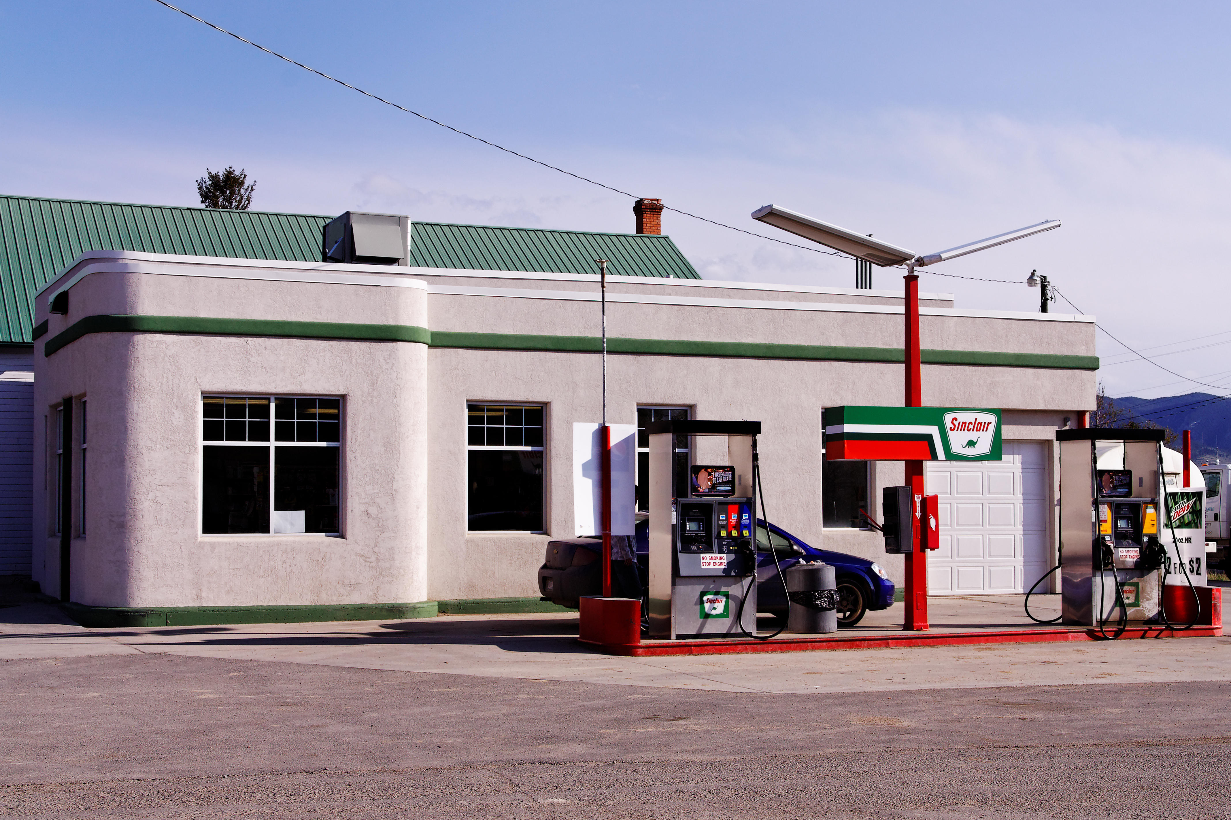
Sinclair Station, Sheridan, MT
080802_020-View near our cabin
080731_001-Morning view from our cabin
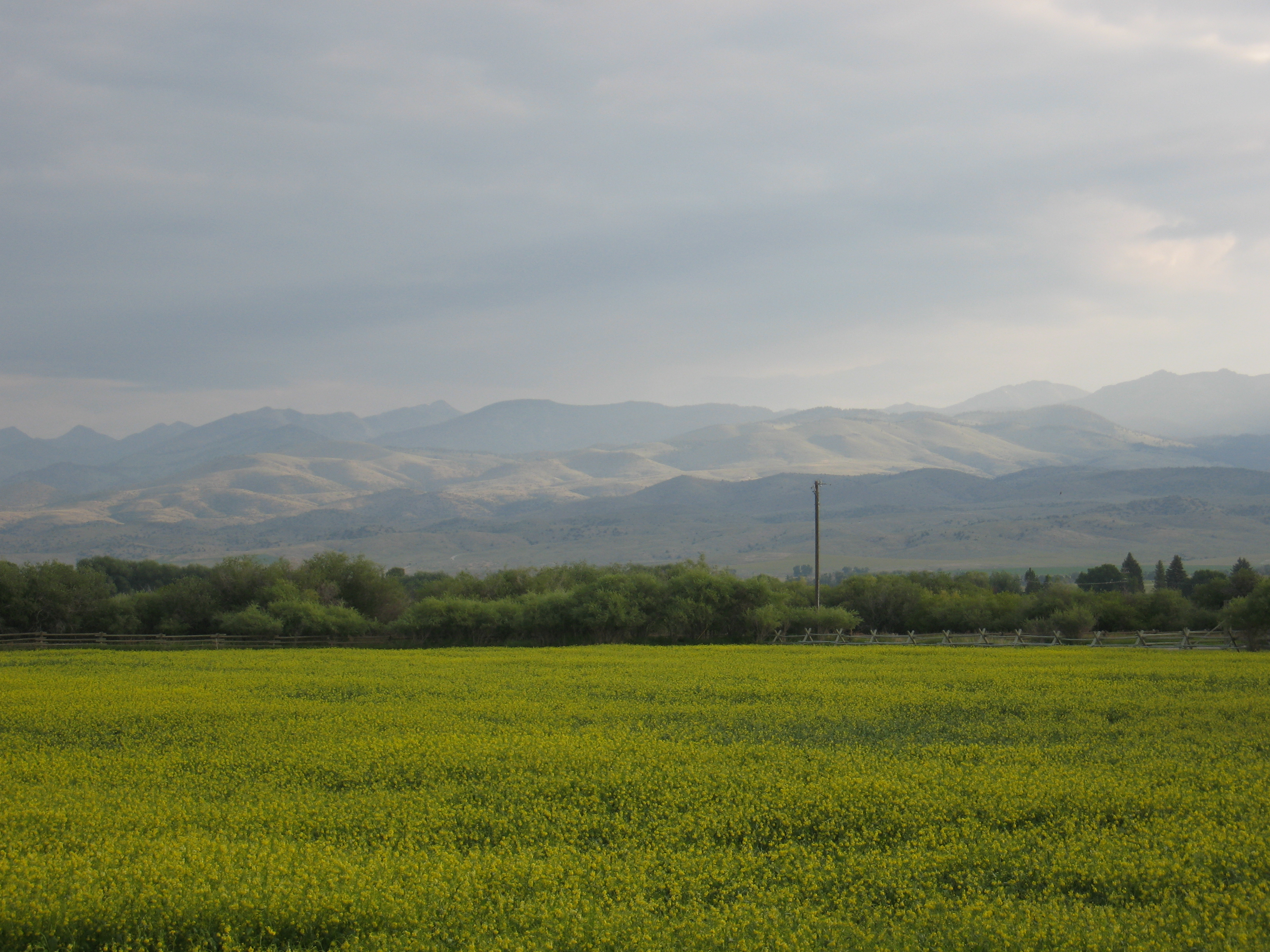
080730_013-View from our cabin at Ruby Springs
080730_014-View near our cabin at Ruby Springs
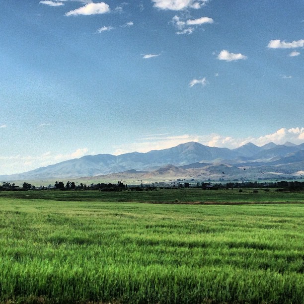
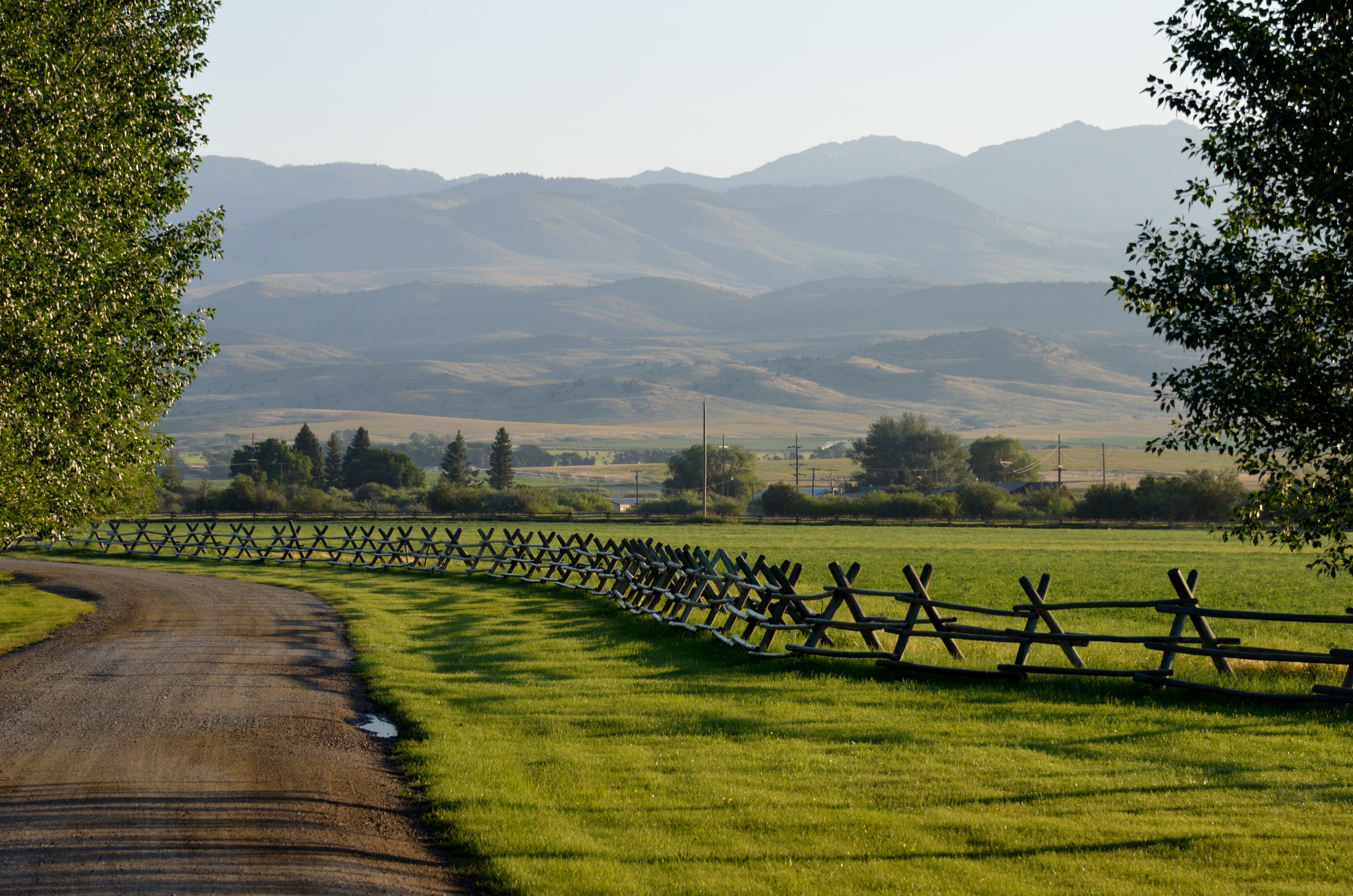
Montana morning

So nice to be back here!
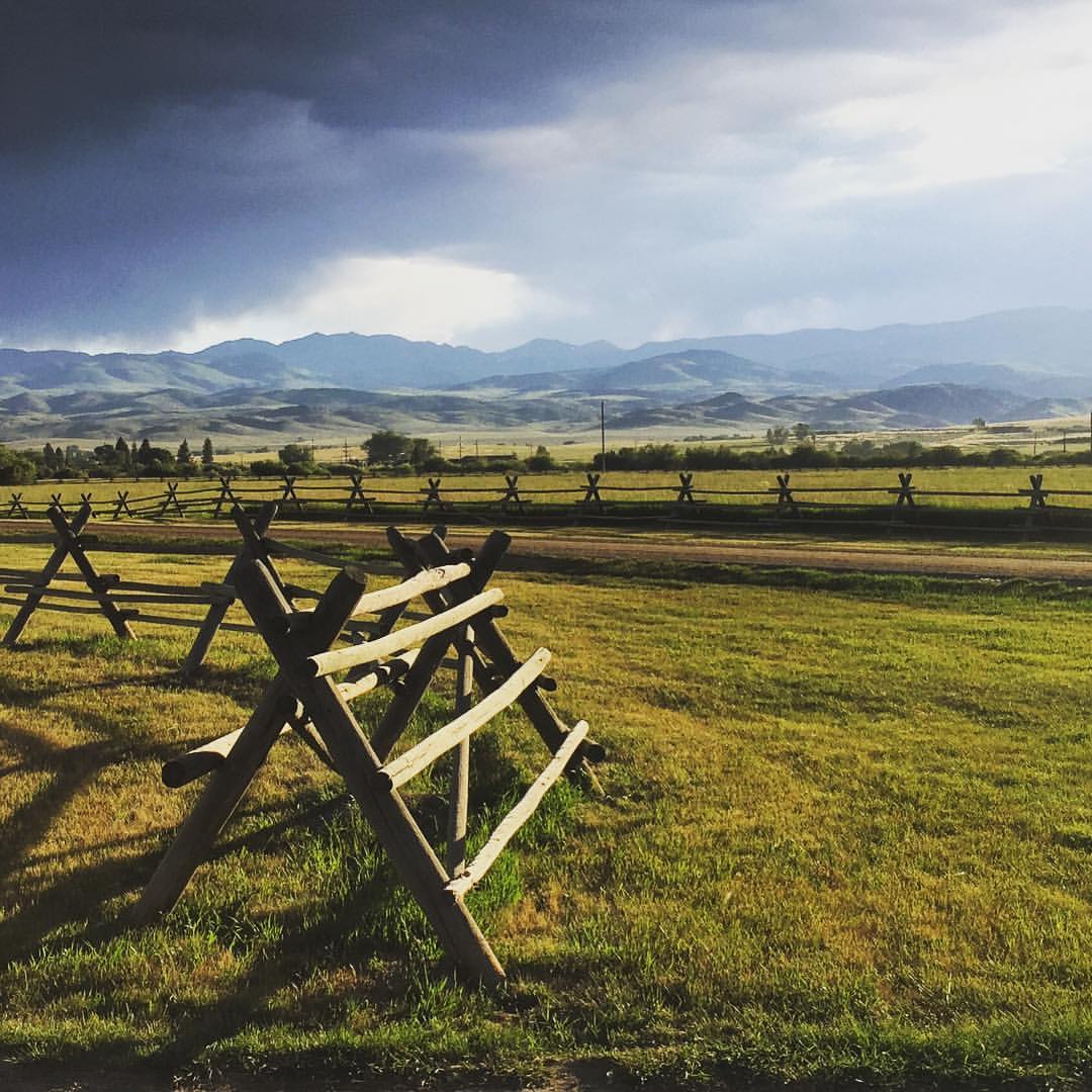
Storms moving in...

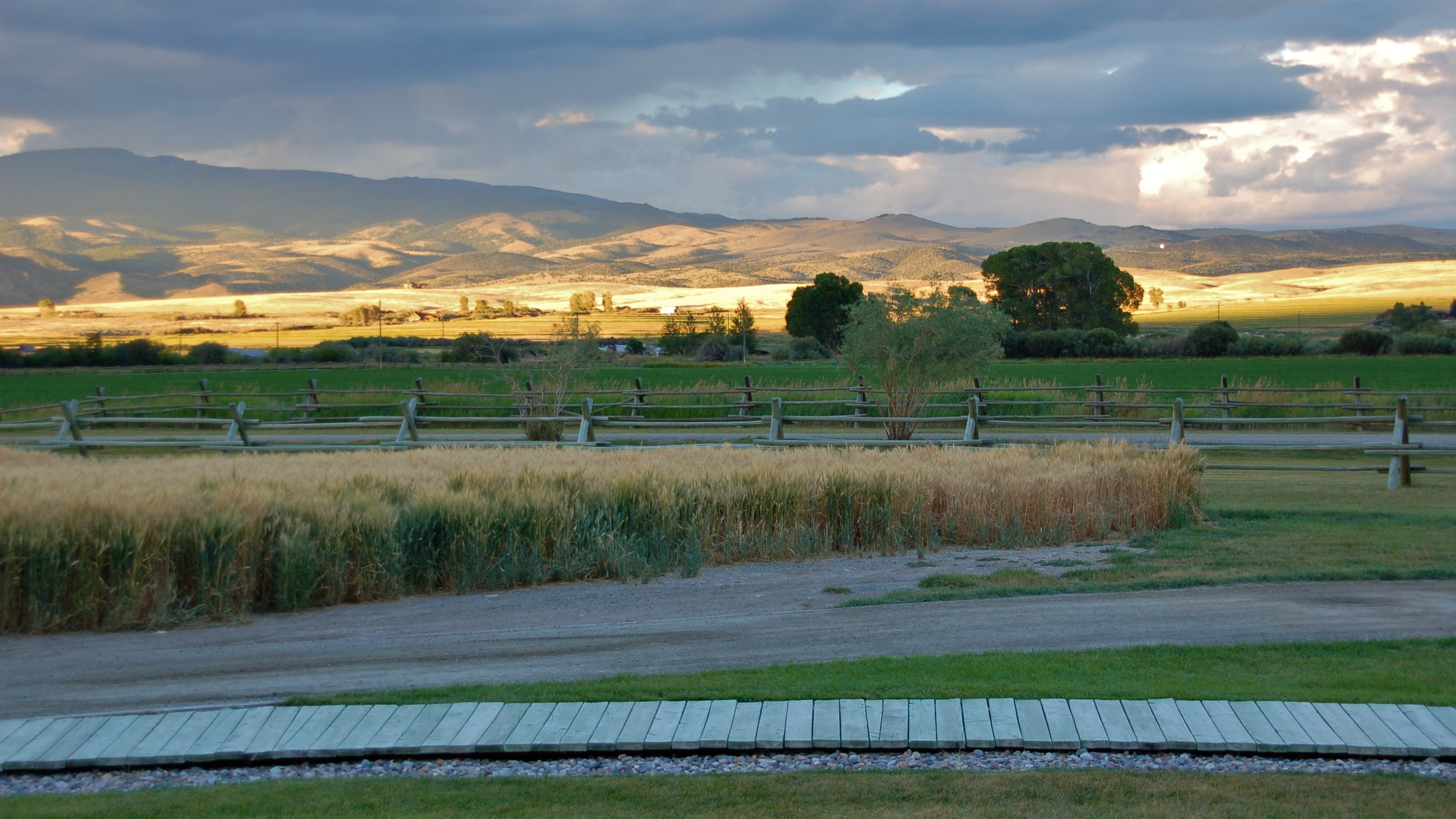
Montana sunset

Morning sun
090731_003-Morning at Ruby Springs Lodge
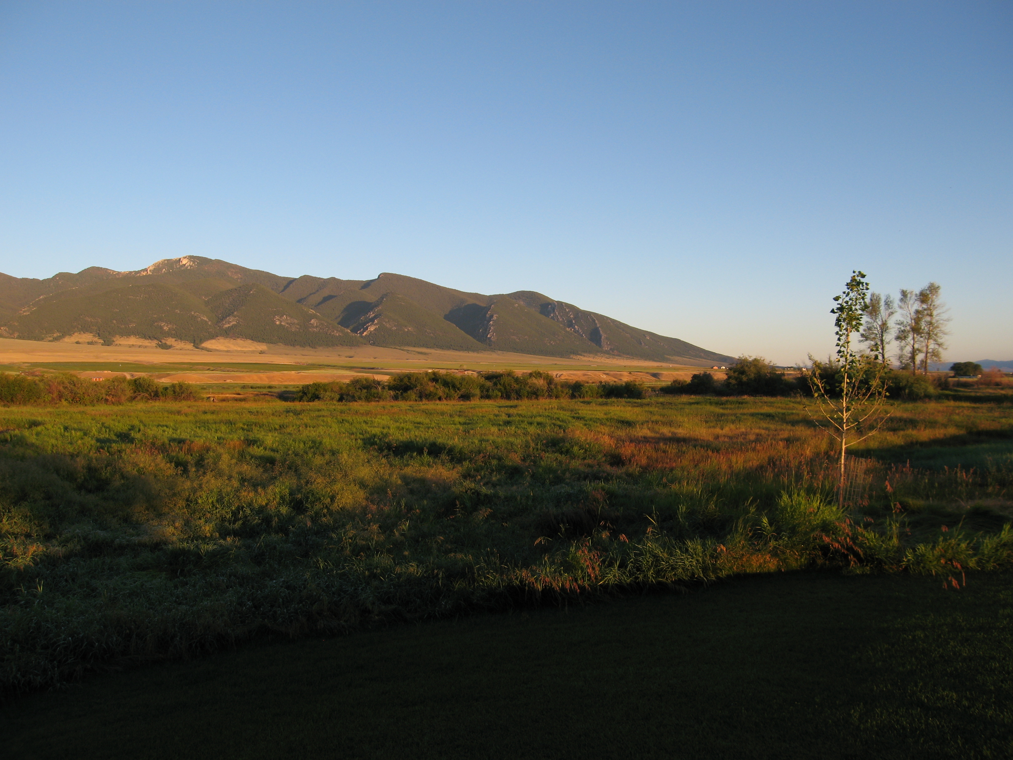
Ruby Mountains
Morning sun
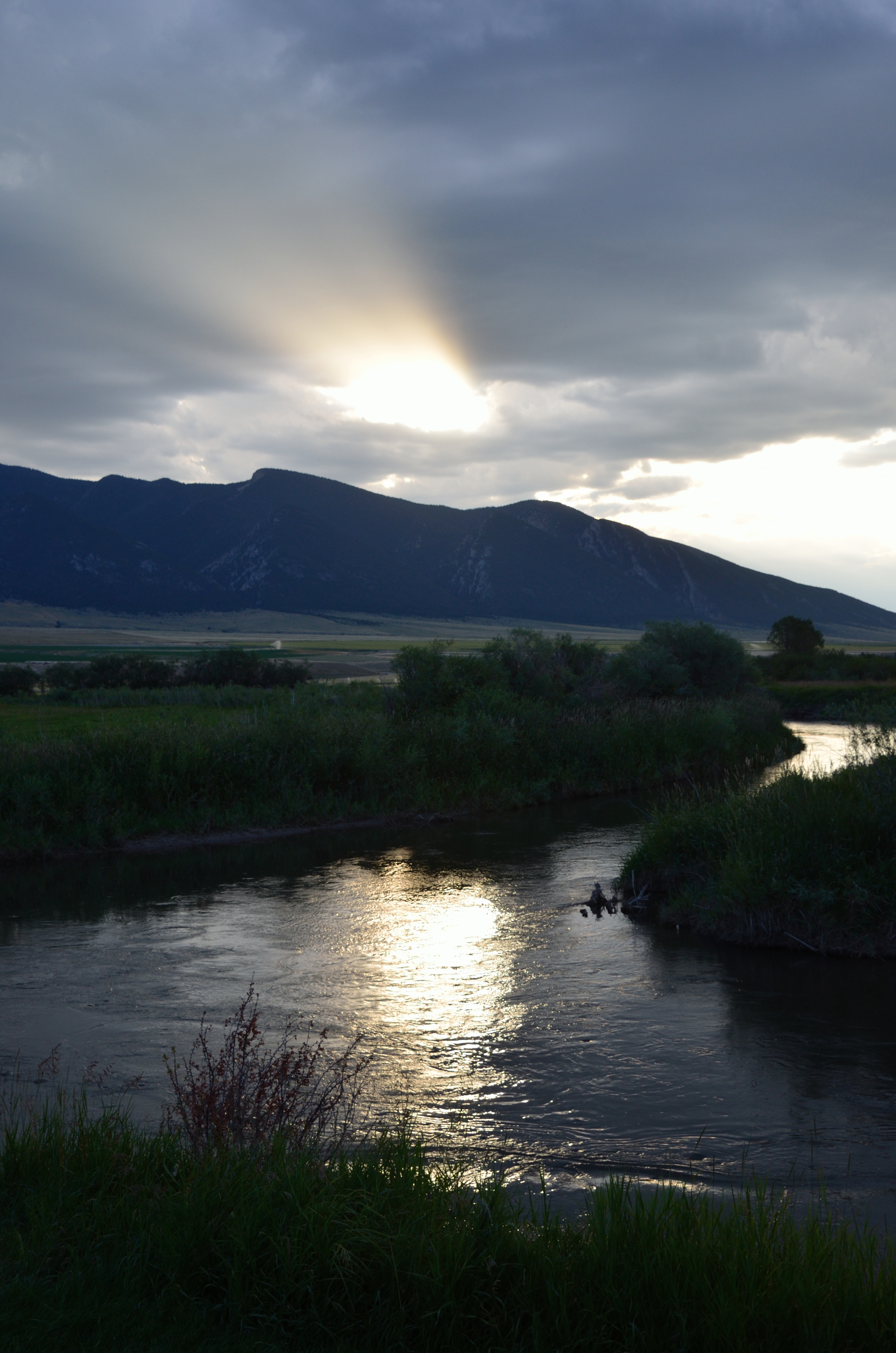
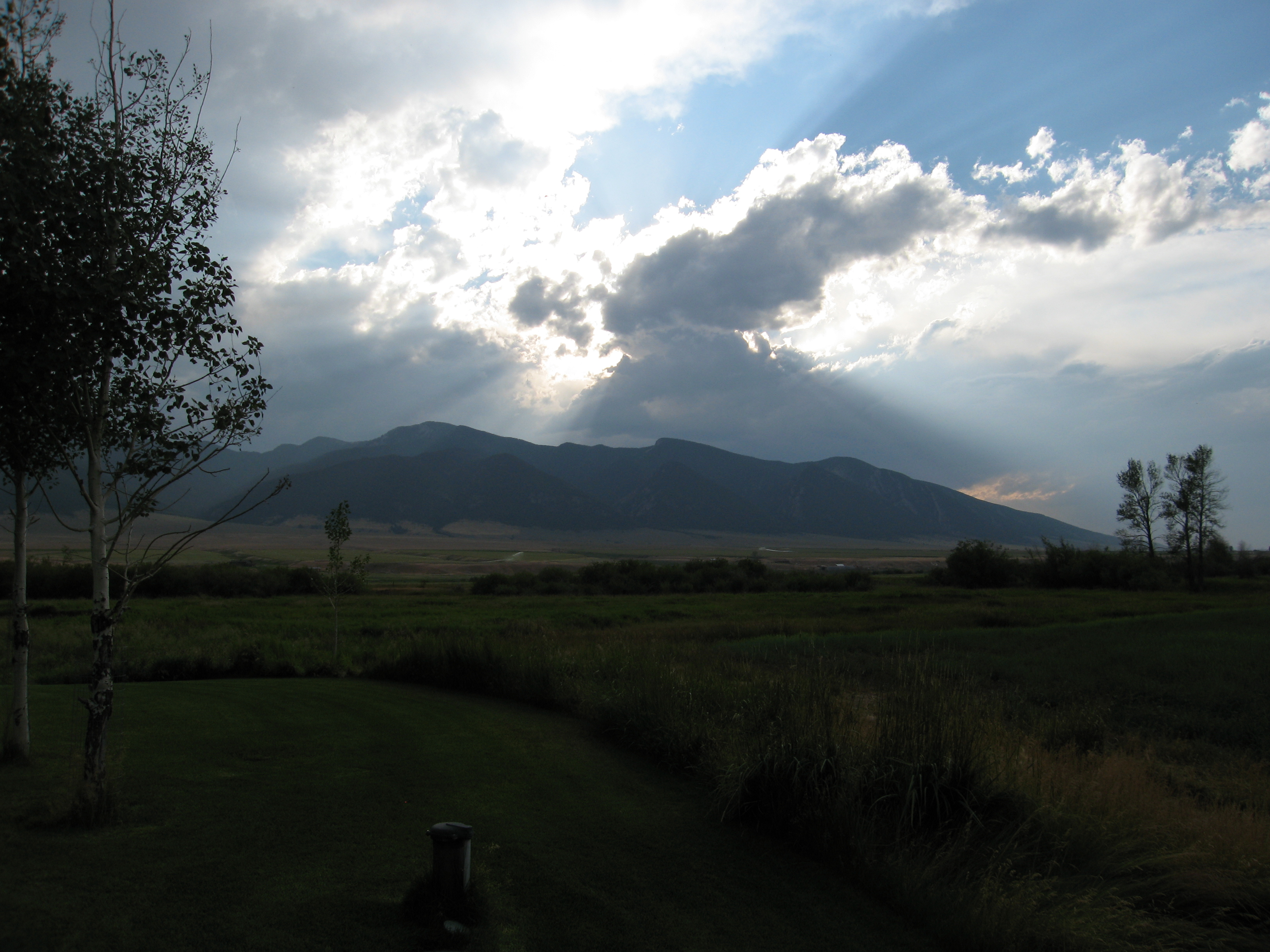
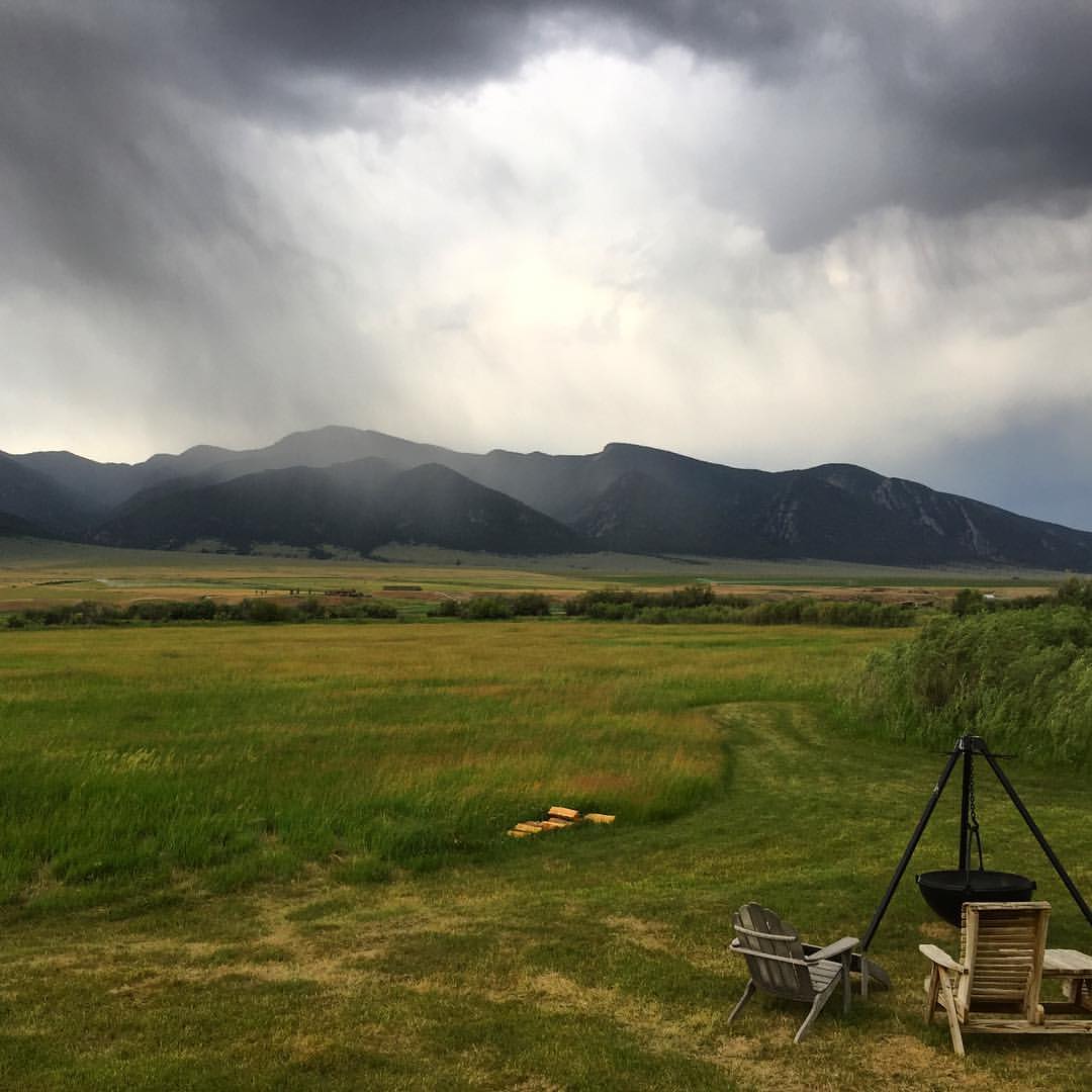
Storms and sunbeams
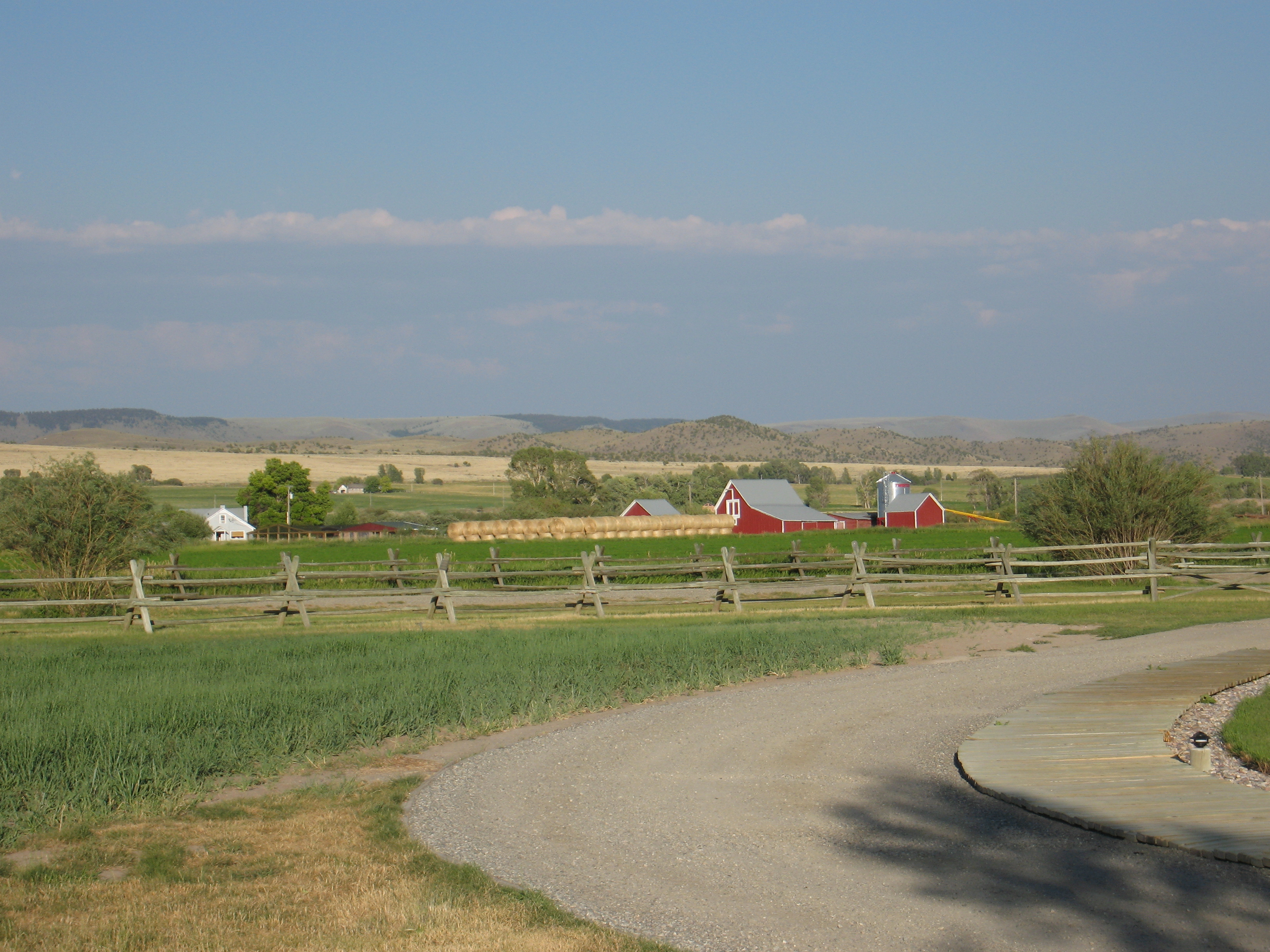
Ruby Springs Lodge
090731_002-Morning at Ruby Springs Lodge
090731_022-Evening at Ruby Springs Lodge

Anybody out here?
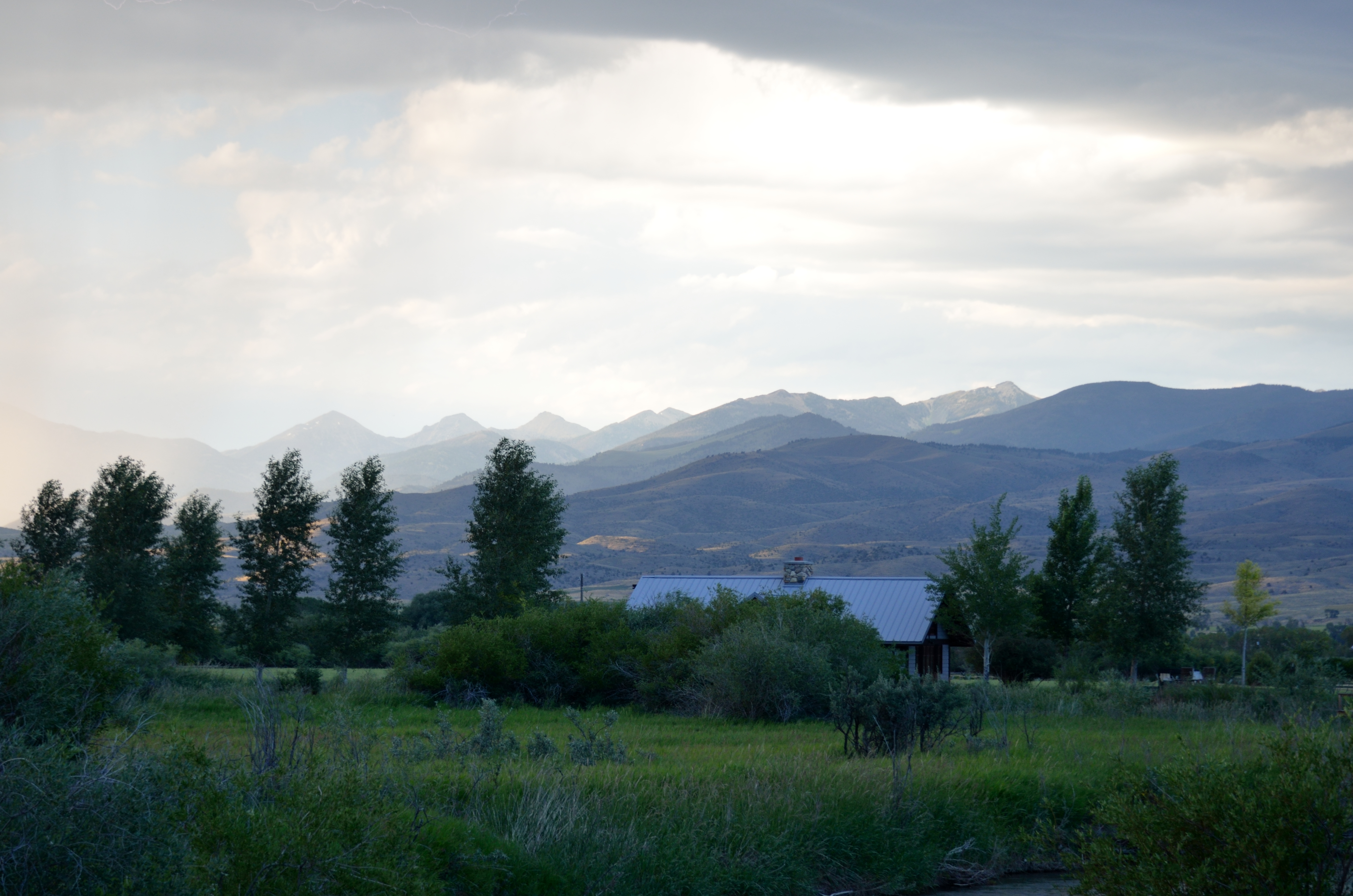
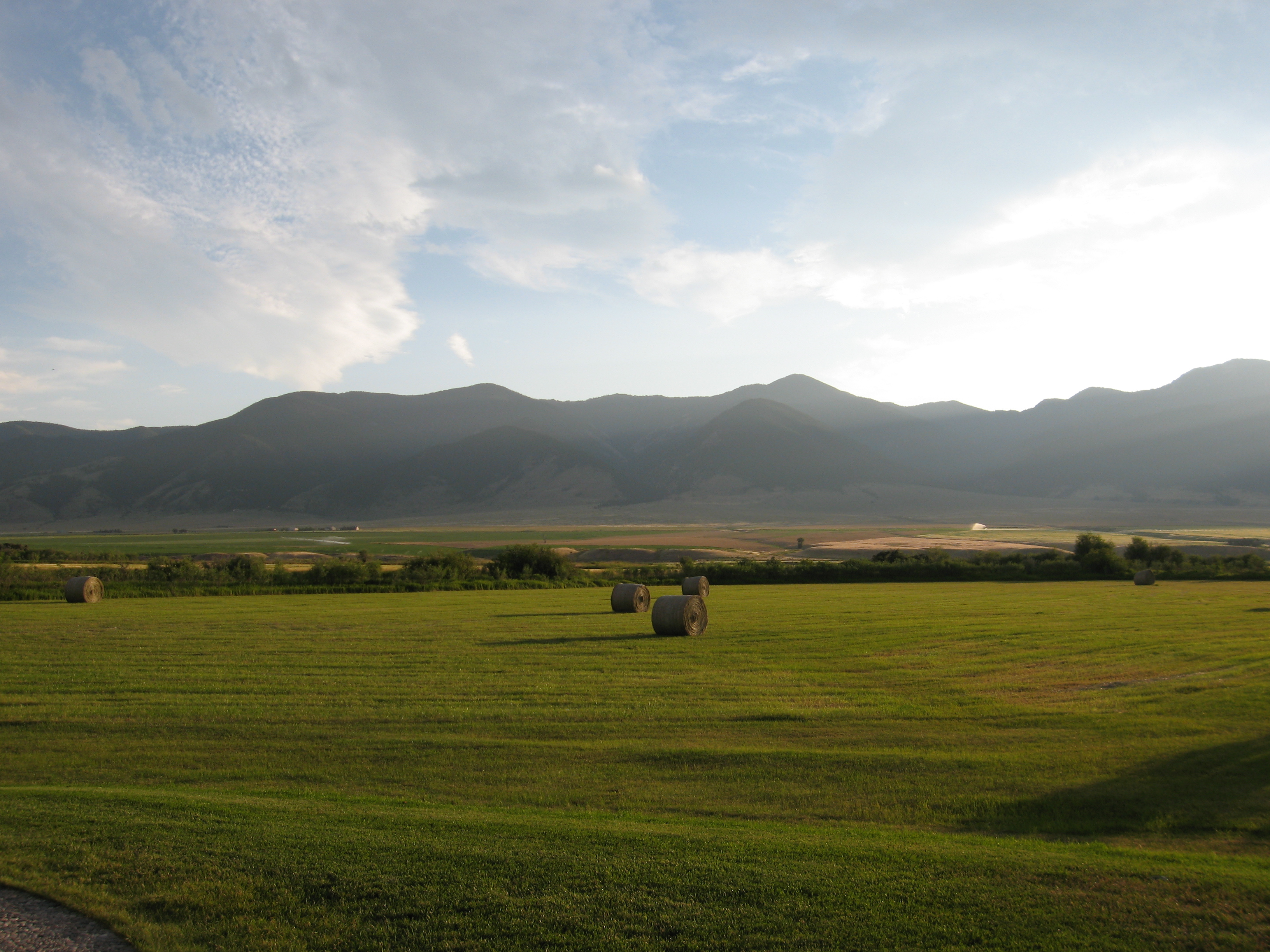
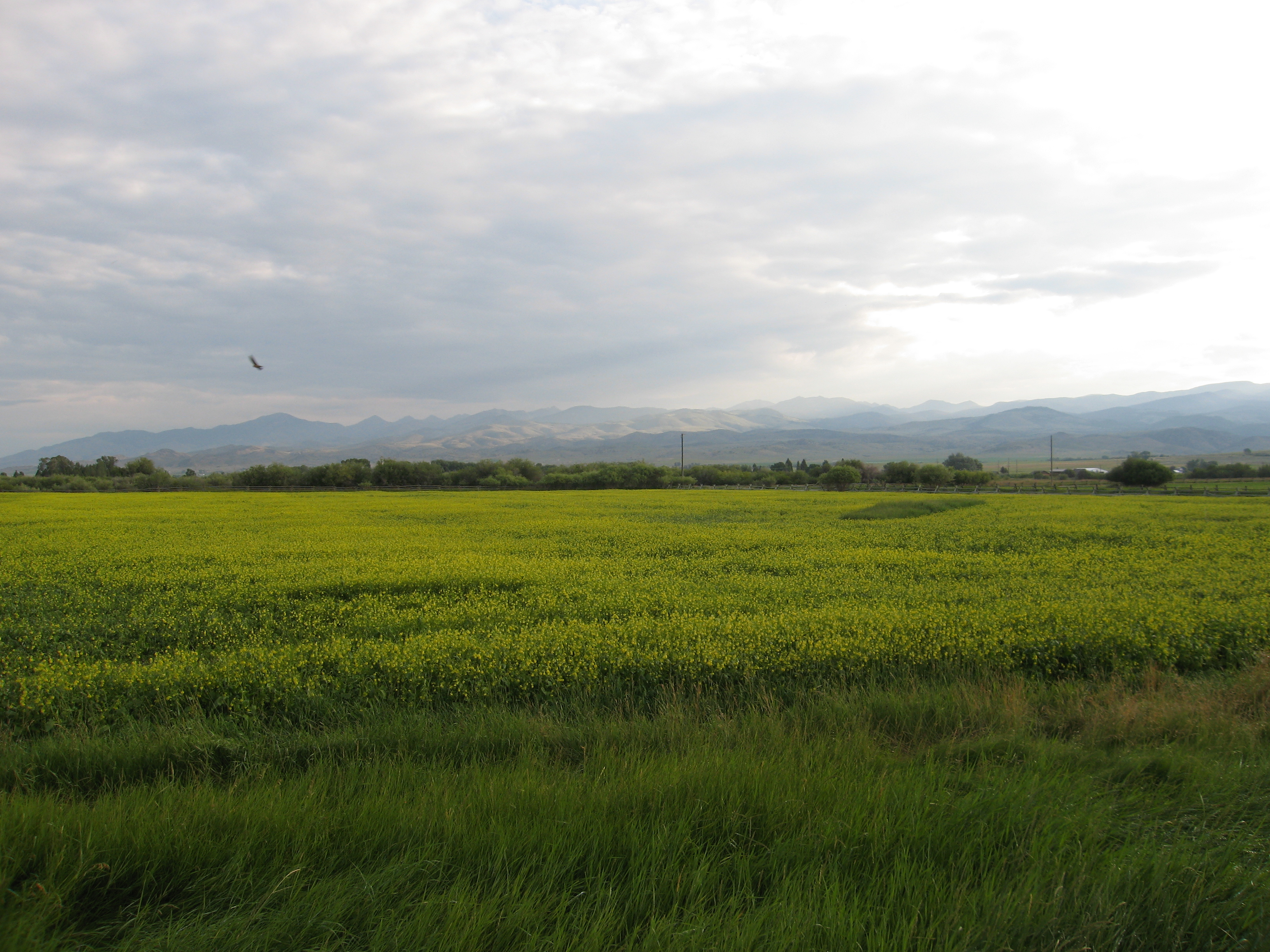
Storms move through the Ruby Valley
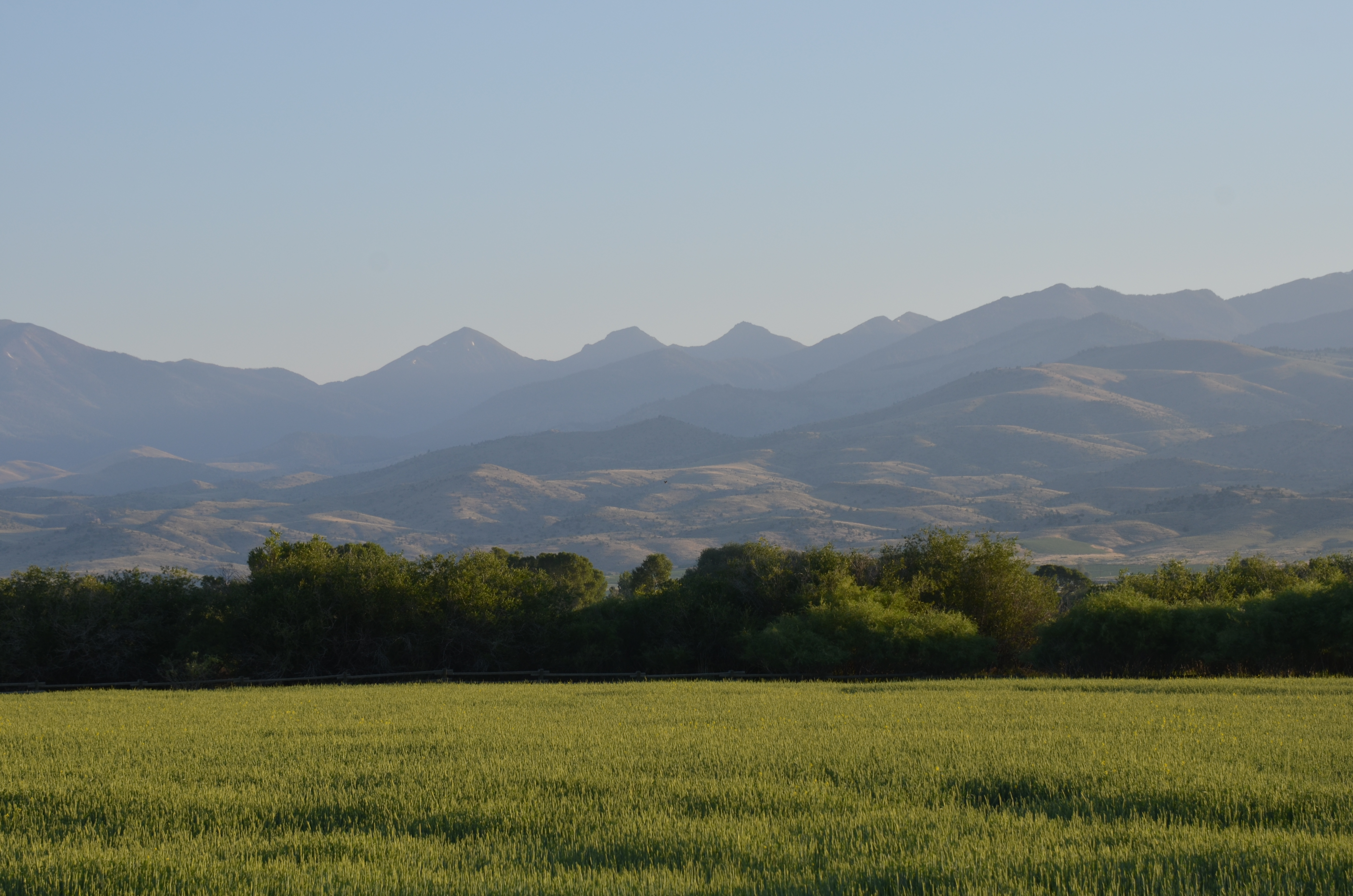
Morning sun

Ron enjoying a cycle at Ruby Springs

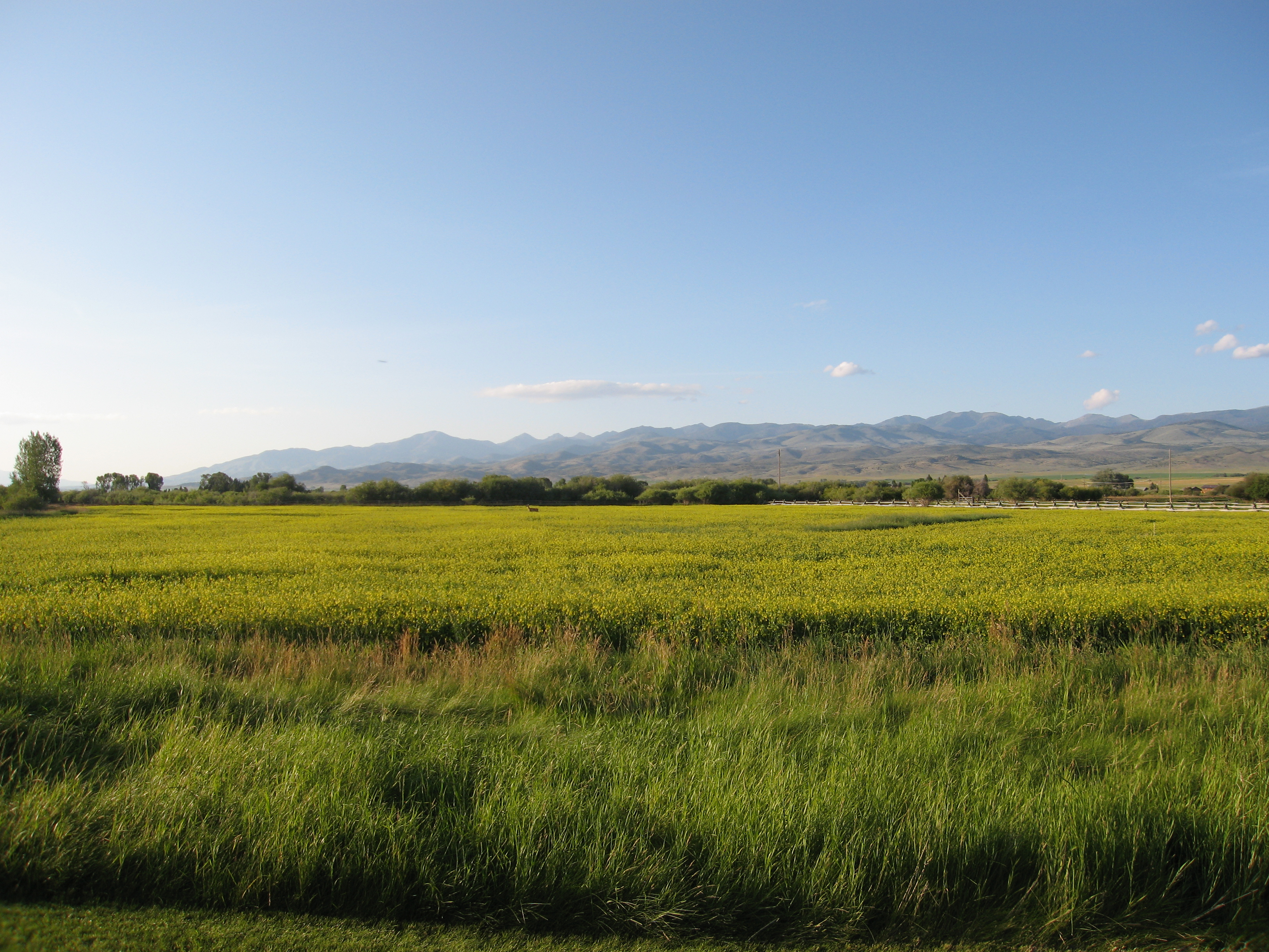
Deer in field
Topographic Map of Mill Creek Rd, Sheridan, MT, USA
Find elevation by address:

Places near Mill Creek Rd, Sheridan, MT, USA:
101 Montana St
1500 Masters Blvd
Sheridan
3408 Mt-287
3408 Mt-287
Sailor Lake
Alder
Middle Mountain
Mount Bradley
630 Mill Gulch Rd
Twin Bridges
4413 Mt-41
Unnamed Road
Nevada City
972 S Boulder Rd
Madison County
Virginia City
53 Carney Ln, Whitehall, MT, USA
Potosi Road
Unnamed Road
Recent Searches:
- Elevation of Corso Fratelli Cairoli, 35, Macerata MC, Italy
- Elevation of Tallevast Rd, Sarasota, FL, USA
- Elevation of 4th St E, Sonoma, CA, USA
- Elevation of Black Hollow Rd, Pennsdale, PA, USA
- Elevation of Oakland Ave, Williamsport, PA, USA
- Elevation of Pedrógão Grande, Portugal
- Elevation of Klee Dr, Martinsburg, WV, USA
- Elevation of Via Roma, Pieranica CR, Italy
- Elevation of Tavkvetili Mountain, Georgia
- Elevation of Hartfords Bluff Cir, Mt Pleasant, SC, USA