Elevation map of Miami Metropolitan Area, FL, USA
Location: United States > Florida > Broward County > Fort Lauderdale >
Longitude: -80.6326916
Latitude: 26.3013917
Elevation: 4m / 13feet
Barometric Pressure: 0KPa
Related Photos:
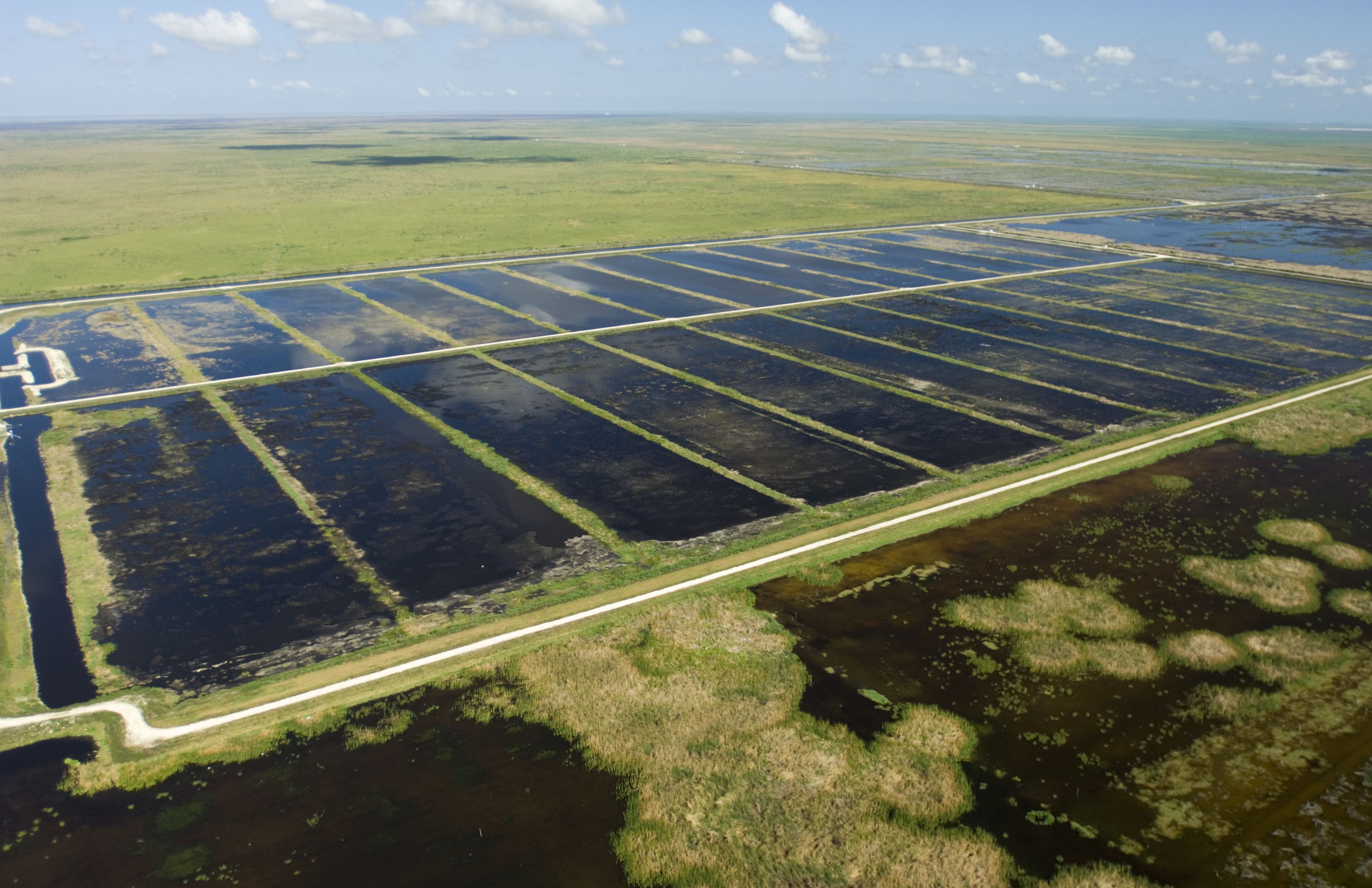
Everglades Stormwater Treatment Areas, September 20, 2014

Tramonto Spettacolare

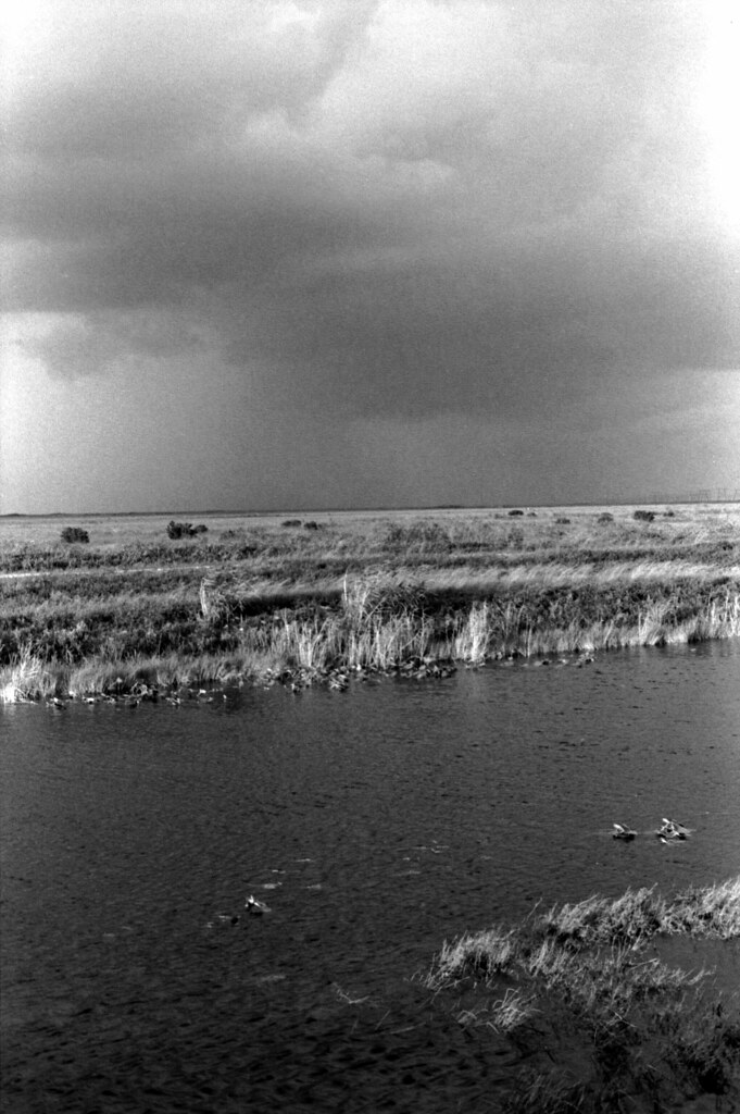
Heavy Thunderstorm in The Florida Everglades. #storm #clouds #thunder #thunderstorm #rainy #raining #everglades #us27

Sunrise in Western Palm Beach County, Florida, USA

BW-Holeylands-in-HDR

Sun-just-setting
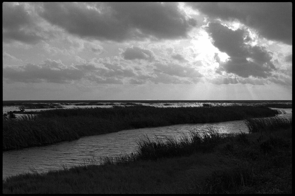
Storm Treatment Area 3/4 Palm Beach County
Storm Treatment Area 3/4 Palm Beach County
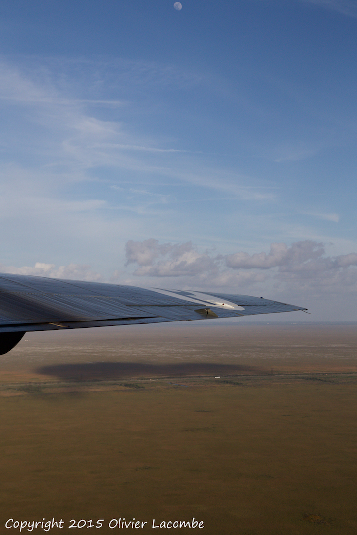
Consolidated B-24J Liberator "Witchcraft"

#photo #tagged to Team #airboataddicts by and go #follow #girlofthemarsh @faith.wilsonn with @sean_wilson3 Out at #camp60 in the #florida #everglades #camp #goodtimes #browardcounty #airboat #halftrack #pokerrun2016 #everglades #gladeslife #swamp #marsh #
Topographic Map of Miami Metropolitan Area, FL, USA
Find elevation by address:

Places in Miami Metropolitan Area, FL, USA:
Places near Miami Metropolitan Area, FL, USA:
US-27, Florida, USA
1745 Aspen Ln
1291 Peregrine Way
1505 Maple Dr
1017 Daisy Ln
801 Lavender Cir
Fort Lauderdale, FL, USA
1570 Barcelona Way
Blue Jay Circle
1059 Nandina Dr
Broward County
400 Conservation Dr
347 Mallard Rd
1390 Victoria Isle Dr
800 Heritage Dr
2336 Quail Roost Dr
666 Verona Ct
545 Coconut Cir
310 Lakeview Dr
1 Cc, Ochopee, FL, USA
Recent Searches:
- Elevation map of Greenland, Greenland
- Elevation of Sullivan Hill, New York, New York, 10002, USA
- Elevation of Morehead Road, Withrow Downs, Charlotte, Mecklenburg County, North Carolina, 28262, USA
- Elevation of 2800, Morehead Road, Withrow Downs, Charlotte, Mecklenburg County, North Carolina, 28262, USA
- Elevation of Yangbi Yi Autonomous County, Yunnan, China
- Elevation of Pingpo, Yangbi Yi Autonomous County, Yunnan, China
- Elevation of Mount Malong, Pingpo, Yangbi Yi Autonomous County, Yunnan, China
- Elevation map of Yongping County, Yunnan, China
- Elevation of North 8th Street, Palatka, Putnam County, Florida, 32177, USA
- Elevation of 107, Big Apple Road, East Palatka, Putnam County, Florida, 32131, USA
- Elevation of Jiezi, Chongzhou City, Sichuan, China
- Elevation of Chongzhou City, Sichuan, China
- Elevation of Huaiyuan, Chongzhou City, Sichuan, China
- Elevation of Qingxia, Chengdu, Sichuan, China
- Elevation of Corso Fratelli Cairoli, 35, Macerata MC, Italy
- Elevation of Tallevast Rd, Sarasota, FL, USA
- Elevation of 4th St E, Sonoma, CA, USA
- Elevation of Black Hollow Rd, Pennsdale, PA, USA
- Elevation of Oakland Ave, Williamsport, PA, USA
- Elevation of Pedrógão Grande, Portugal