Elevation of Methodist Park Rd, Valdese, NC, USA
Location: United States > North Carolina > Burke County > Lovelady > Valdese >
Longitude: -81.557644
Latitude: 35.710202
Elevation: 505m / 1657feet
Barometric Pressure: 95KPa
Elevation Map:
Satellite Map:
Related Photos:
In the Country 22/52

Party Lights

Public Grandeur in the 1890s

Jacob's Fork in the Fall

High Shoals Falls

Journey 313/365

Misty Base

South Mountain Trillium
Golden Cascade

Falling Water with Ice

Sliding Board?

Red Leaf

The Base
Falling Water

Crayola Crayons

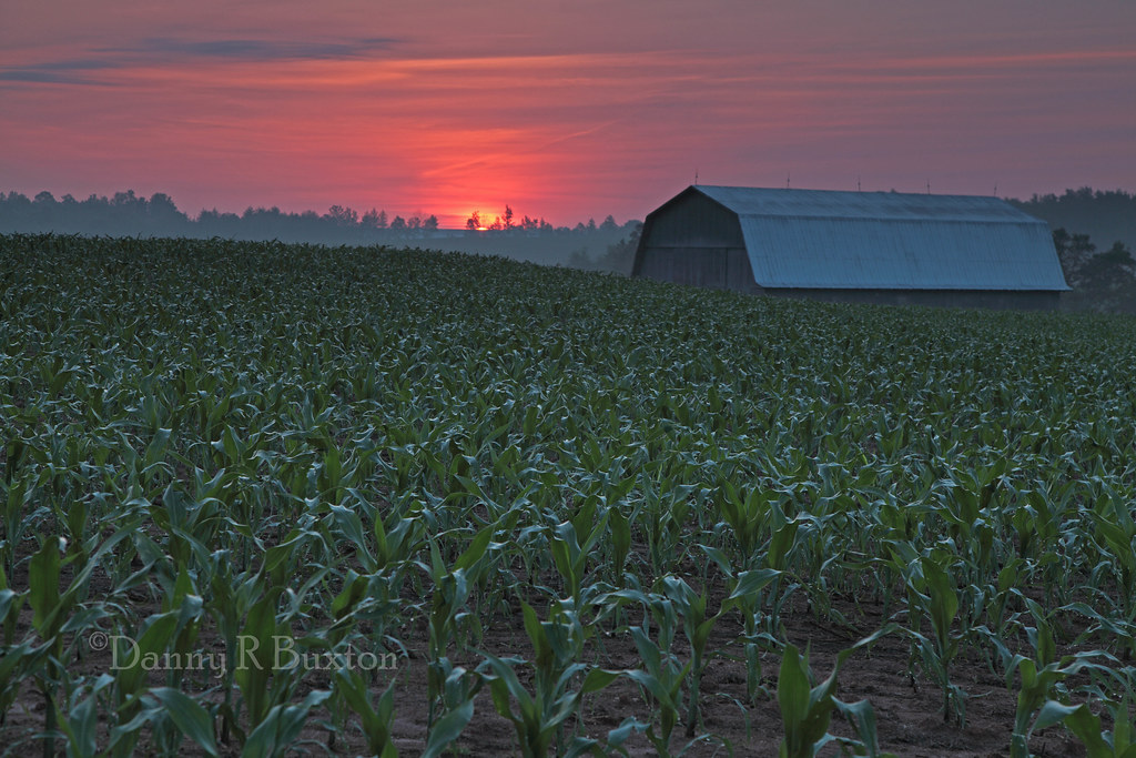
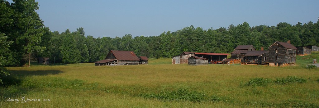
Countryside View

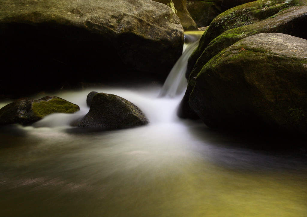
Jacob's Fork Cascade

In over my Knees!

Autumn Cascade

Go with the Flow

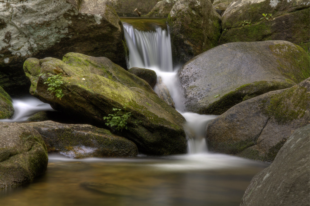
Jacob's Fork Cascades

Clouds at sunset
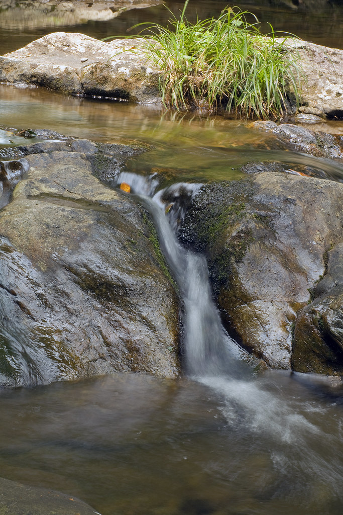
Jacob's Fork Trickle

Hidden Beauty

Winter Water

South Mountains Cascade
The Farm 152/365

Sweet Serenity
Repetition 6/52

South Mountains Trail 1

For Evelyn

Bachelor’s Button 111/365 *EXPLORE - 23 April 2011*
Topographic Map of Methodist Park Rd, Valdese, NC, USA
Find elevation by address:

Places near Methodist Park Rd, Valdese, NC, USA:
Methodist Park Road
3562 Appian Way
Mineral Springs Mountain Avenue
3925 Mineral Springs Mountain Rd
500 Campbell Ave Se
Lovelady
First United Methodist Church
100 Main Restaurant & Bar
404 Louise Ave Ne
5210 Mineral Springs Mountain Rd
3040 Coldwater Street Extension
Hildebran Mountain
Connelly Springs
US-70, Morganton, NC, USA
2629 Shady Grove Rd
7091 Knobs Landing
Lake Vista Drive Northeast
106 Ridge Top Dr
207 Harbor Ridge Dr
1843 Us-70
Recent Searches:
- Elevation of Corso Fratelli Cairoli, 35, Macerata MC, Italy
- Elevation of Tallevast Rd, Sarasota, FL, USA
- Elevation of 4th St E, Sonoma, CA, USA
- Elevation of Black Hollow Rd, Pennsdale, PA, USA
- Elevation of Oakland Ave, Williamsport, PA, USA
- Elevation of Pedrógão Grande, Portugal
- Elevation of Klee Dr, Martinsburg, WV, USA
- Elevation of Via Roma, Pieranica CR, Italy
- Elevation of Tavkvetili Mountain, Georgia
- Elevation of Hartfords Bluff Cir, Mt Pleasant, SC, USA