Elevation of Merrill Township, MI, USA
Location: United States > Michigan > Newaygo County >
Longitude: -85.869093
Latitude: 43.697258
Elevation: 275m / 902feet
Barometric Pressure: 98KPa
Elevation Map:
Satellite Map:
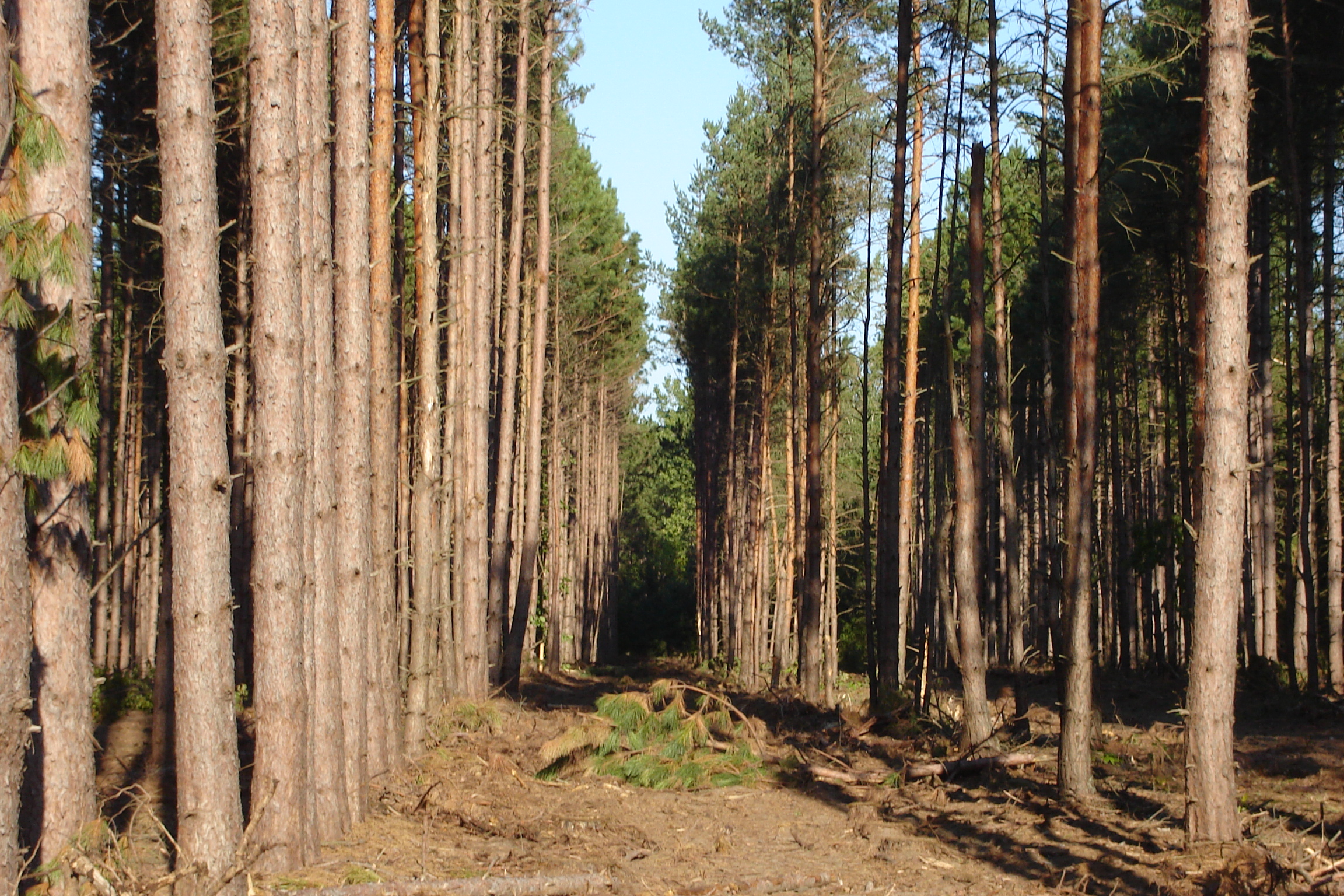
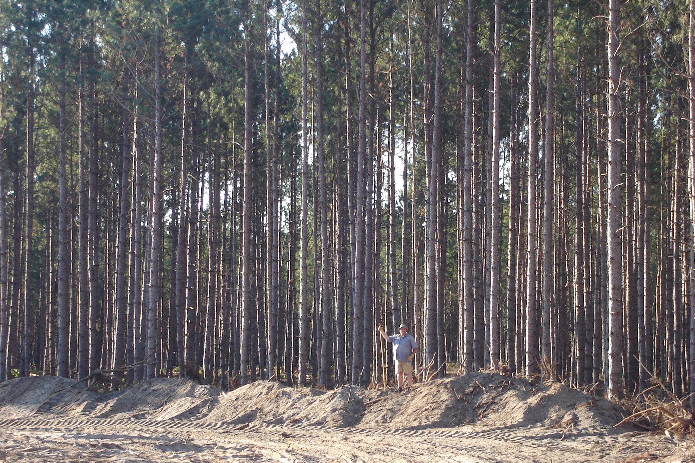
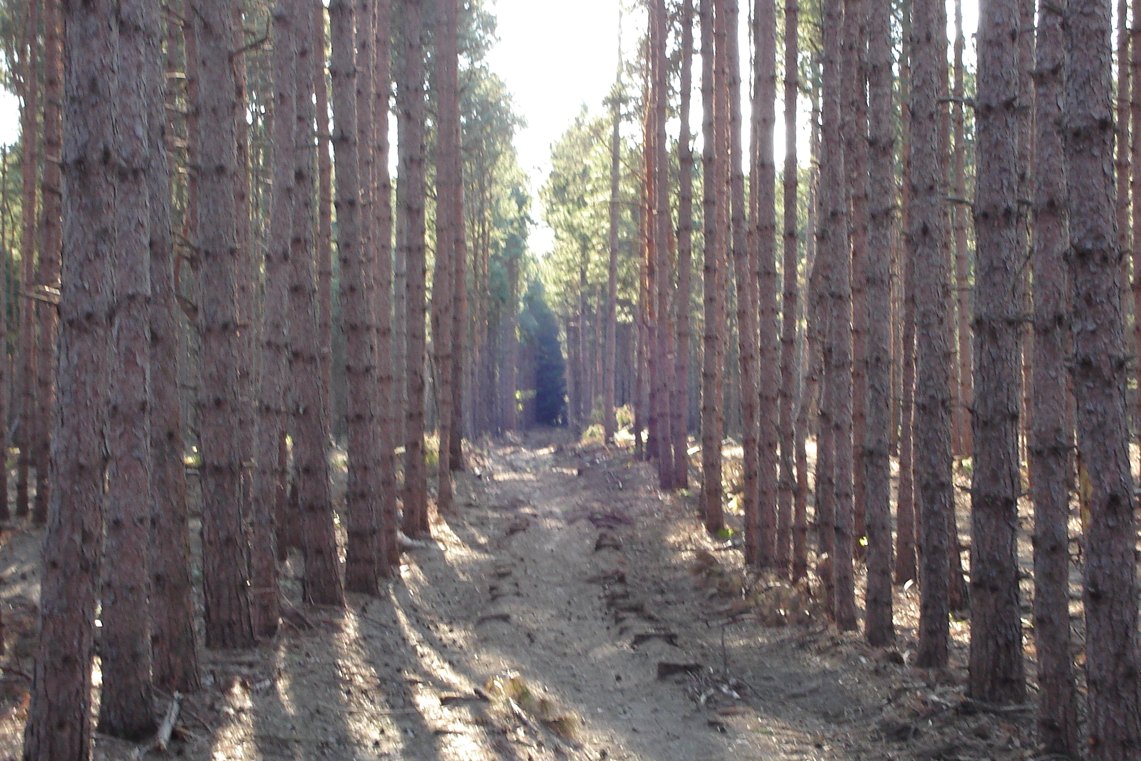
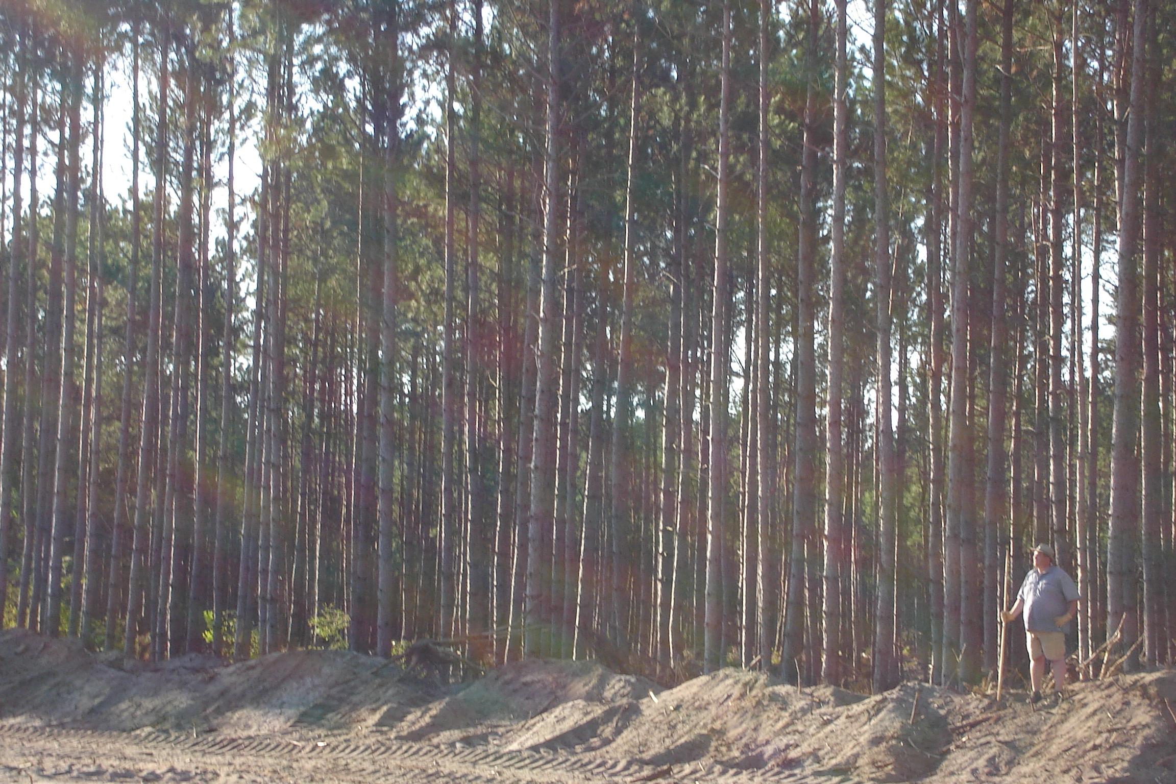
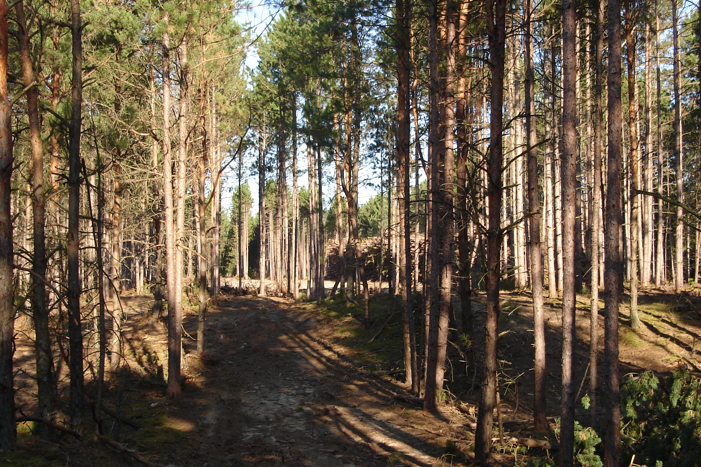
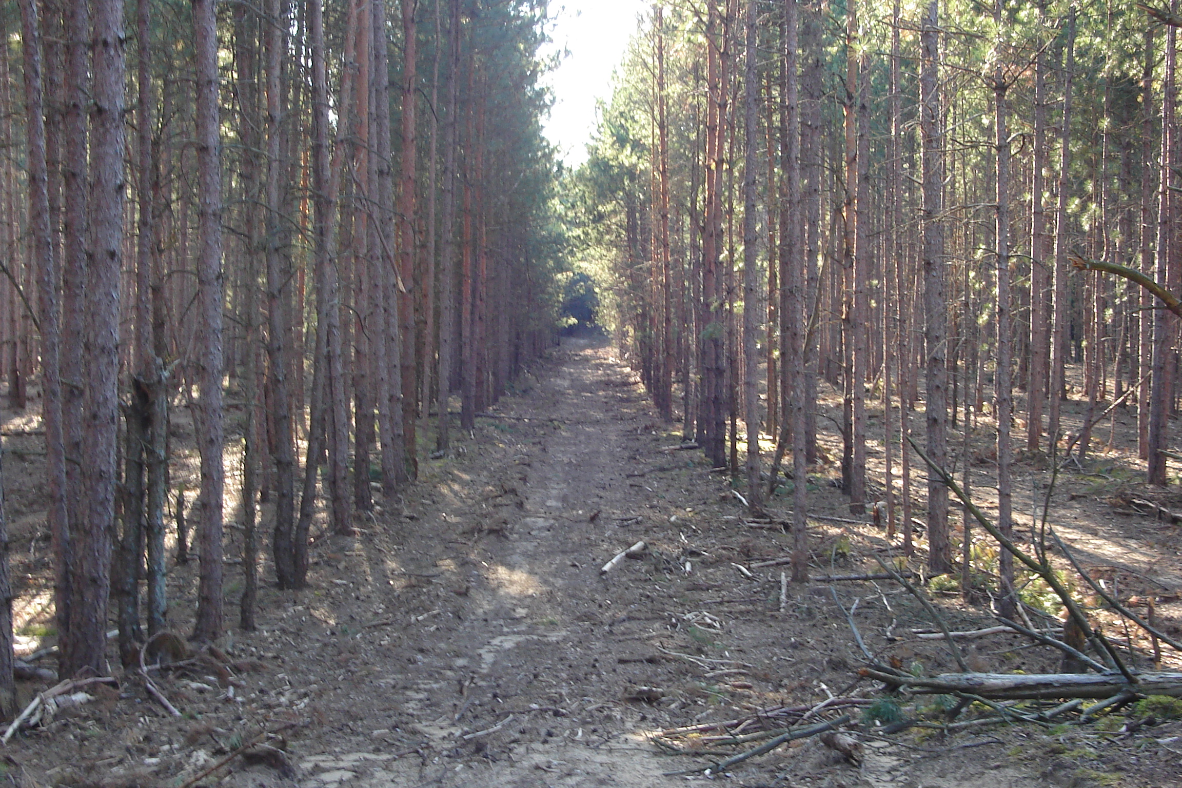
Related Photos:

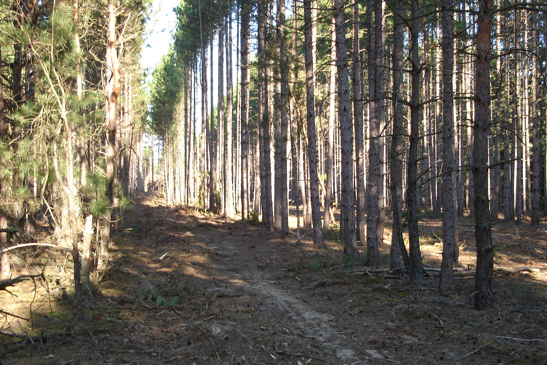
My breakfast view on the North Country Trail
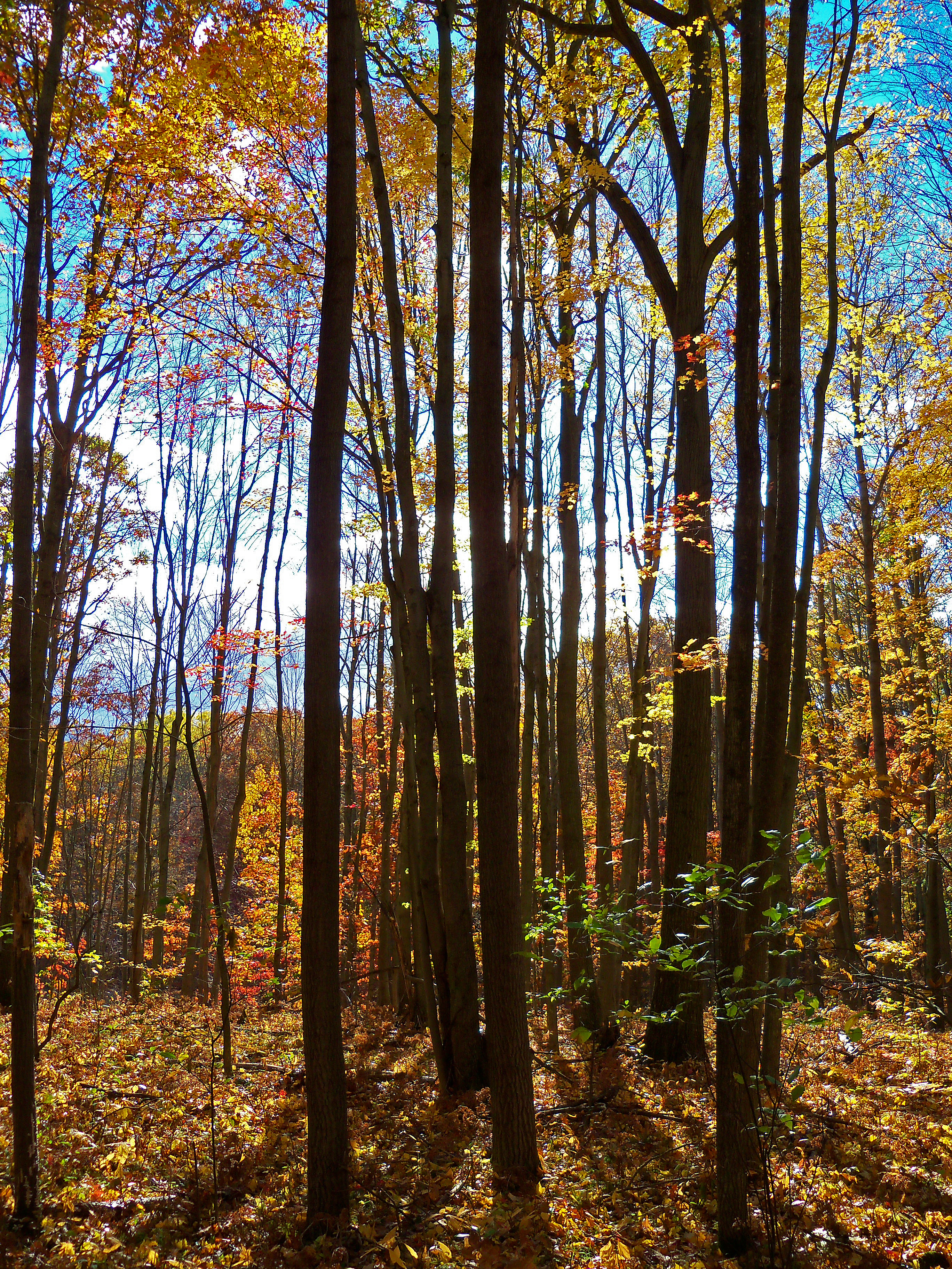
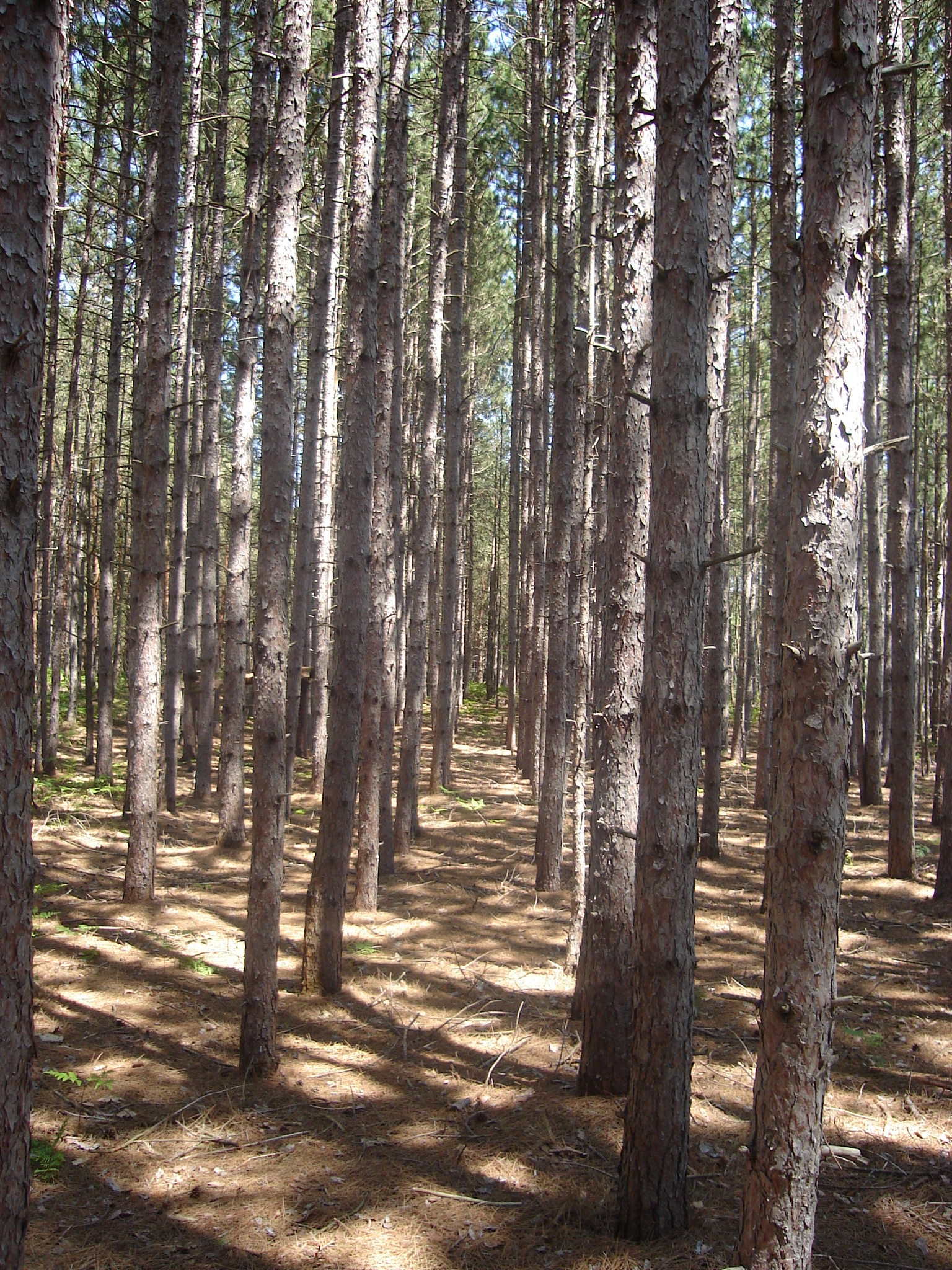
North Country
jhh-20090718-003

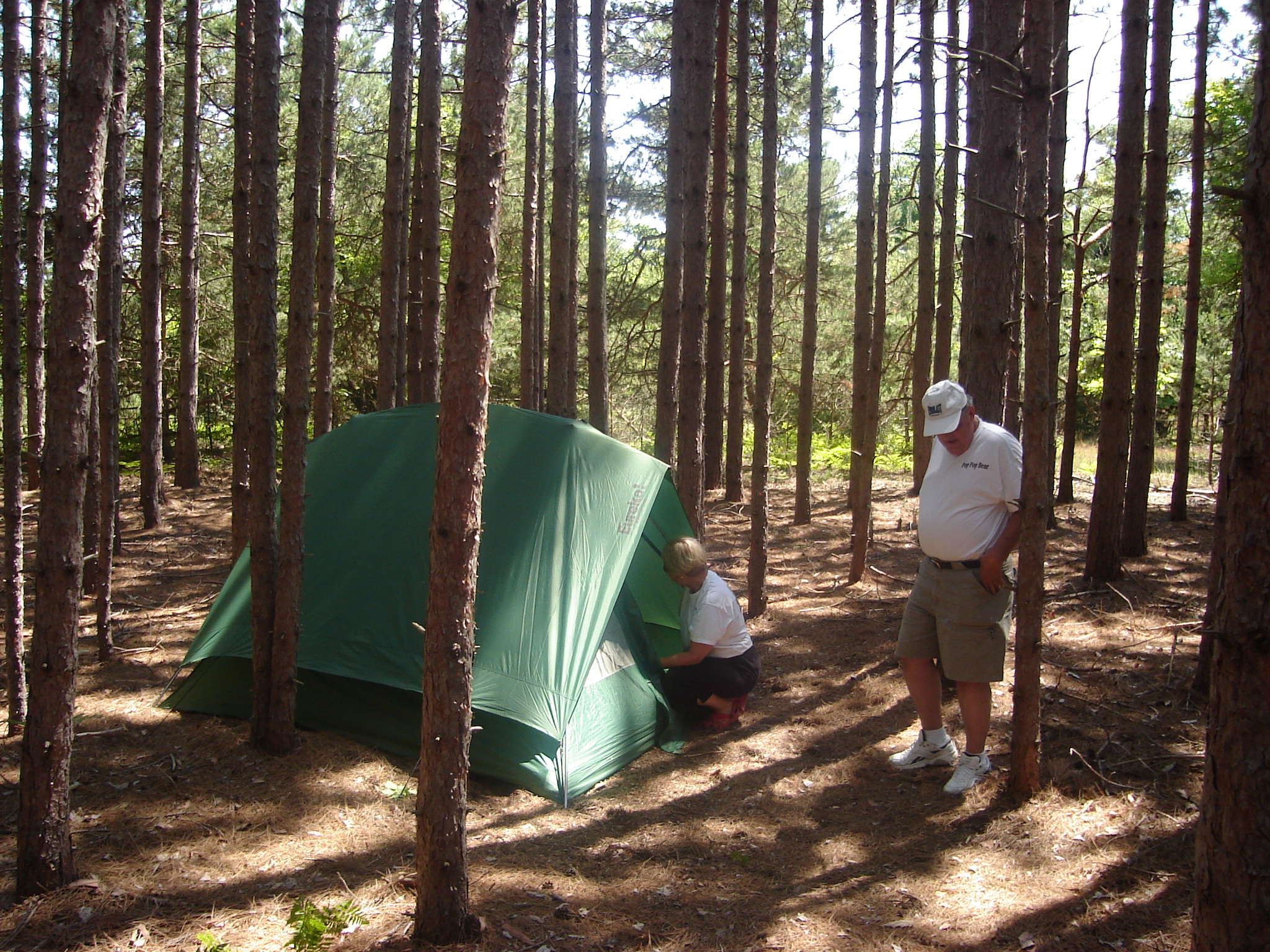
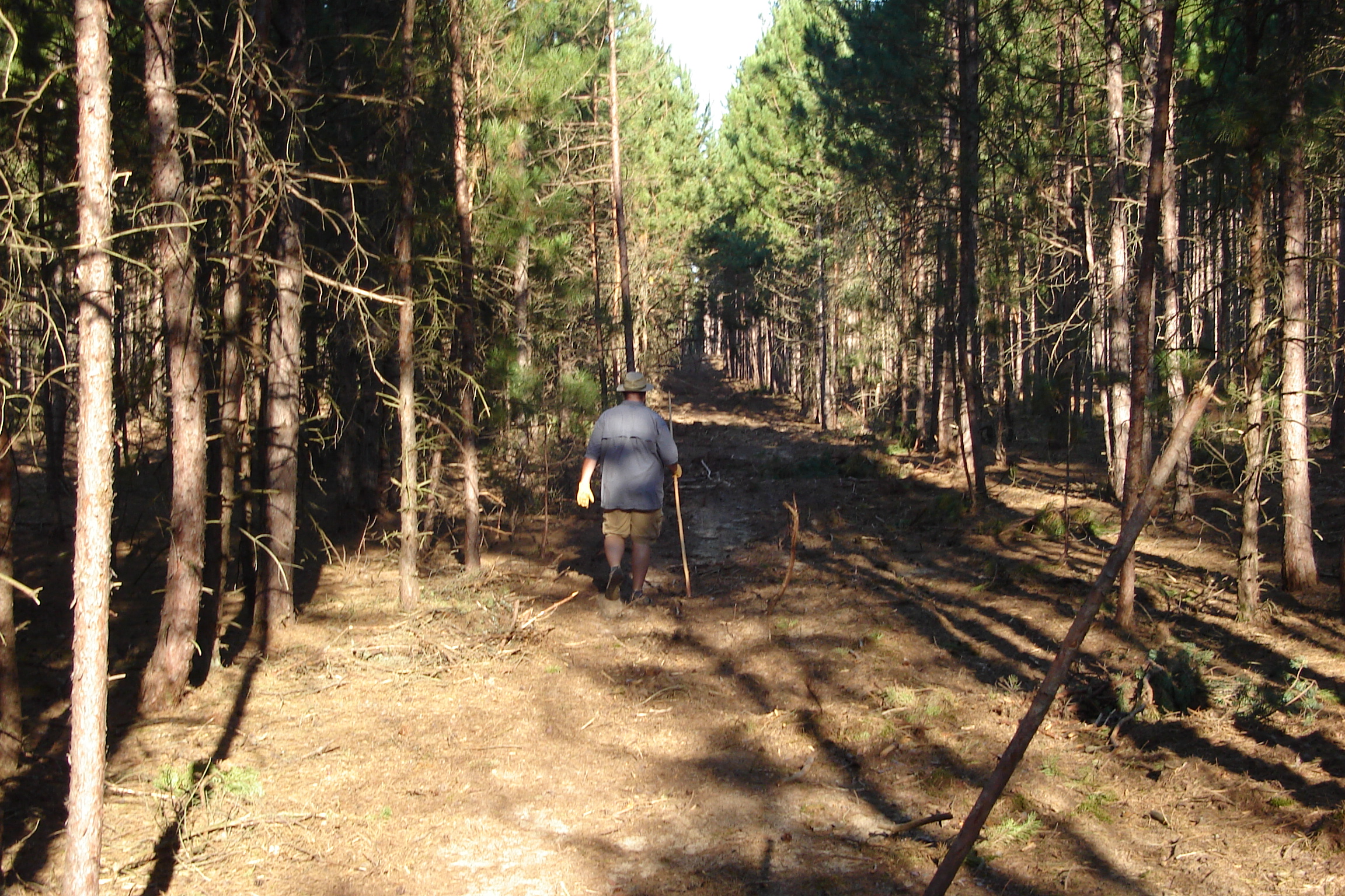
Happy camper

loda lake wildflower sanctuary

The collier fails
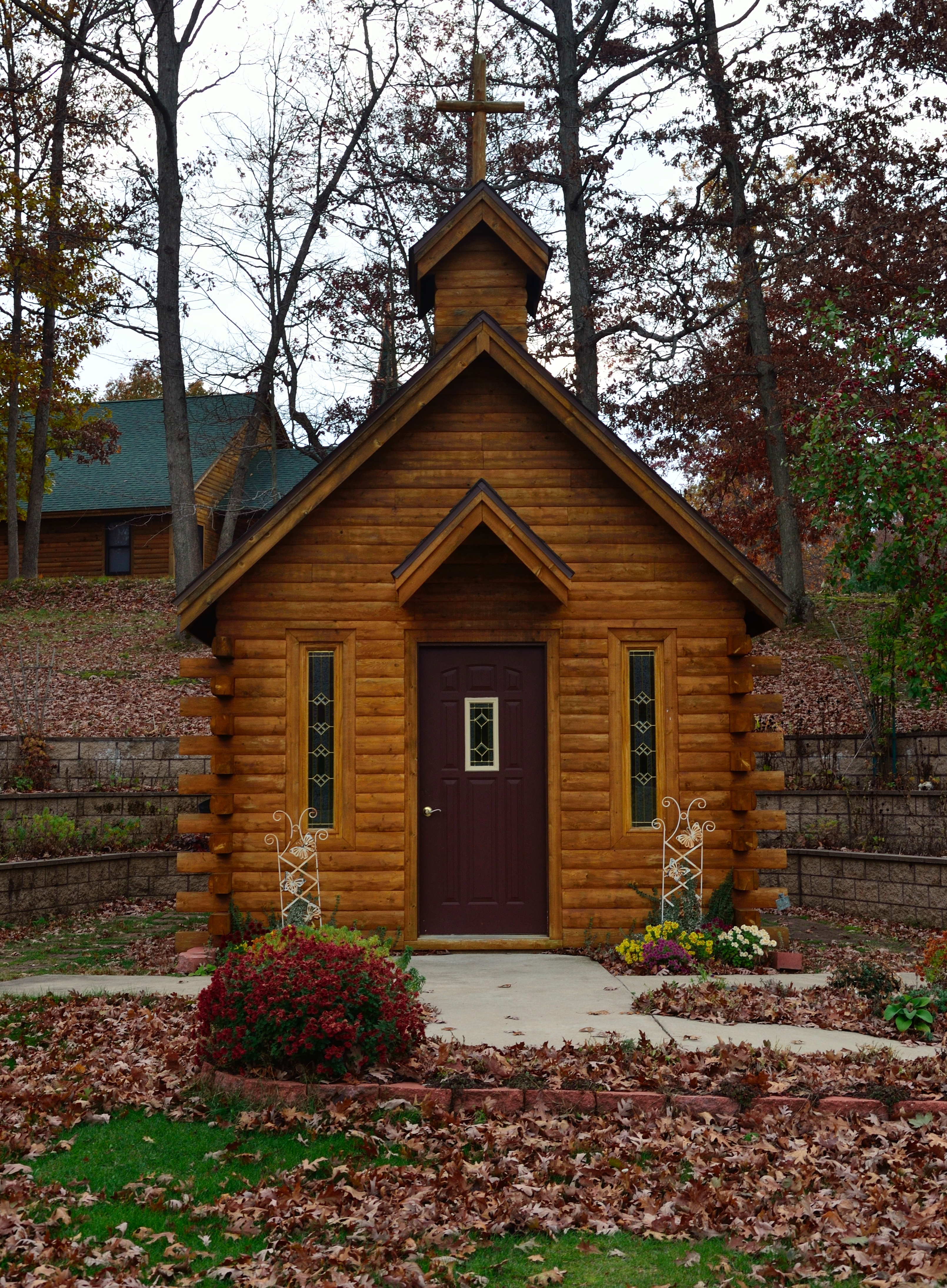
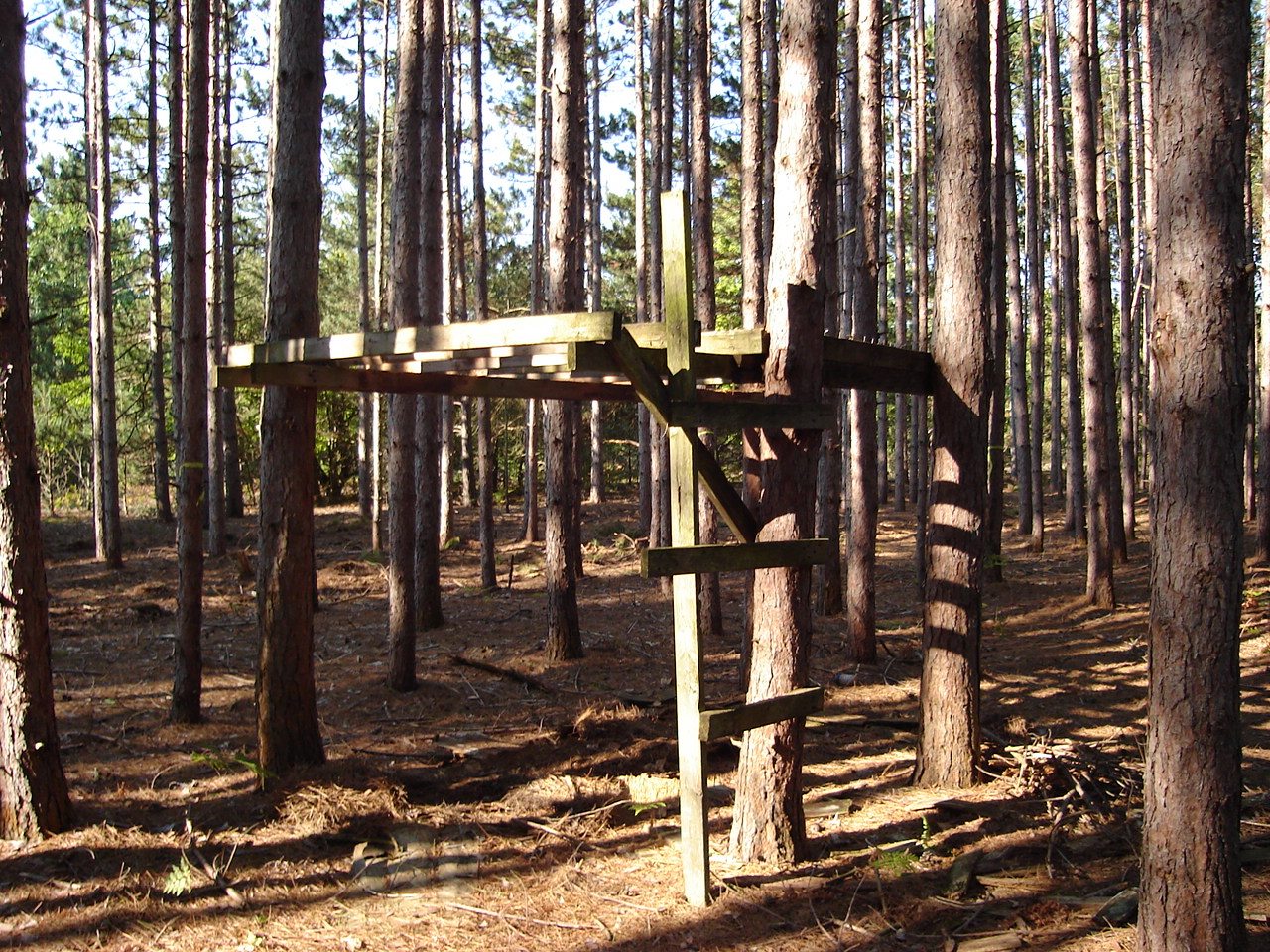
Roadside Chapel near Woodland Park Michigan
jhh-20090718-005
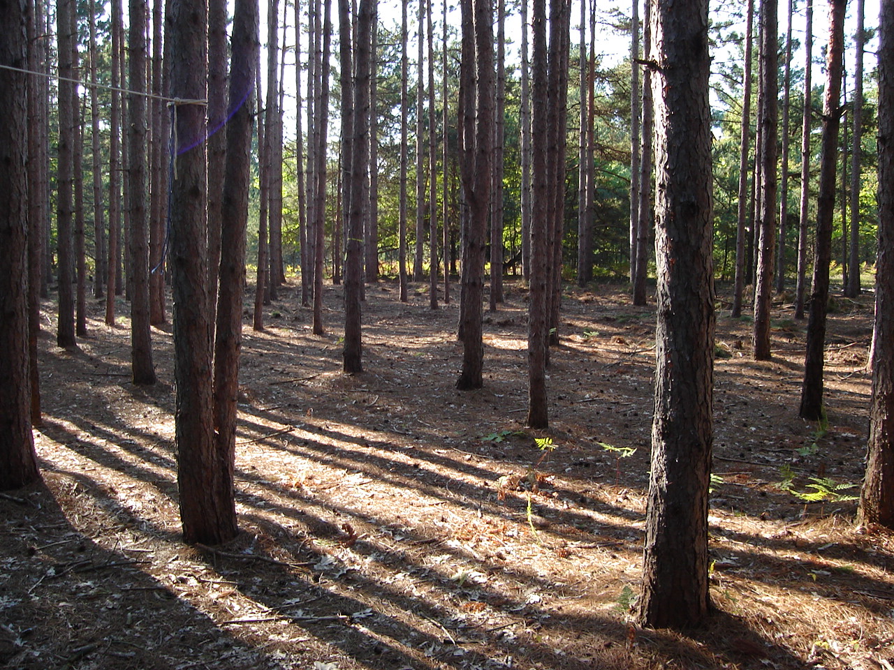
Labor Day Weekend 082
20year 001
IMG_1747_%28Small%29
Labor Day Weekend 054
Labor Day Weekend 017
20year 004
Labor Day Weekend 016
Labor Day Weekend 093
Labor Day Weekend 037
Labor Day Weekend 040
Labor Day Weekend 045
Labor Day Weekend 041
Labor Day Weekend 018
Labor Day Weekend 019
Topographic Map of Merrill Township, MI, USA
Find elevation by address:

Places in Merrill Township, MI, USA:
Places near Merrill Township, MI, USA:
23rd Ave, Bitely, MI, USA
Bitely
Lilley Township
Alger Avenue
6301 W 11 Mile Ave
Beaver Township
2315 Truman Dr
Pleasant Plains Township
Marlborough
Idlewild
Washington St, Baldwin, MI, USA
Baldwin
Webber Township
7403 E Adams Rd
Lake County
Walkerville
Colfax Township
Southern
Wolf Lake Dr, Baldwin, MI, USA
2878 E Scout Rd
Recent Searches:
- Elevation of Corso Fratelli Cairoli, 35, Macerata MC, Italy
- Elevation of Tallevast Rd, Sarasota, FL, USA
- Elevation of 4th St E, Sonoma, CA, USA
- Elevation of Black Hollow Rd, Pennsdale, PA, USA
- Elevation of Oakland Ave, Williamsport, PA, USA
- Elevation of Pedrógão Grande, Portugal
- Elevation of Klee Dr, Martinsburg, WV, USA
- Elevation of Via Roma, Pieranica CR, Italy
- Elevation of Tavkvetili Mountain, Georgia
- Elevation of Hartfords Bluff Cir, Mt Pleasant, SC, USA