Elevation of Meriwether County, GA, USA
Location: United States > Georgia >
Longitude: -84.689749
Latitude: 33.0561282
Elevation: 268m / 879feet
Barometric Pressure: 98KPa
Elevation Map:
Satellite Map:
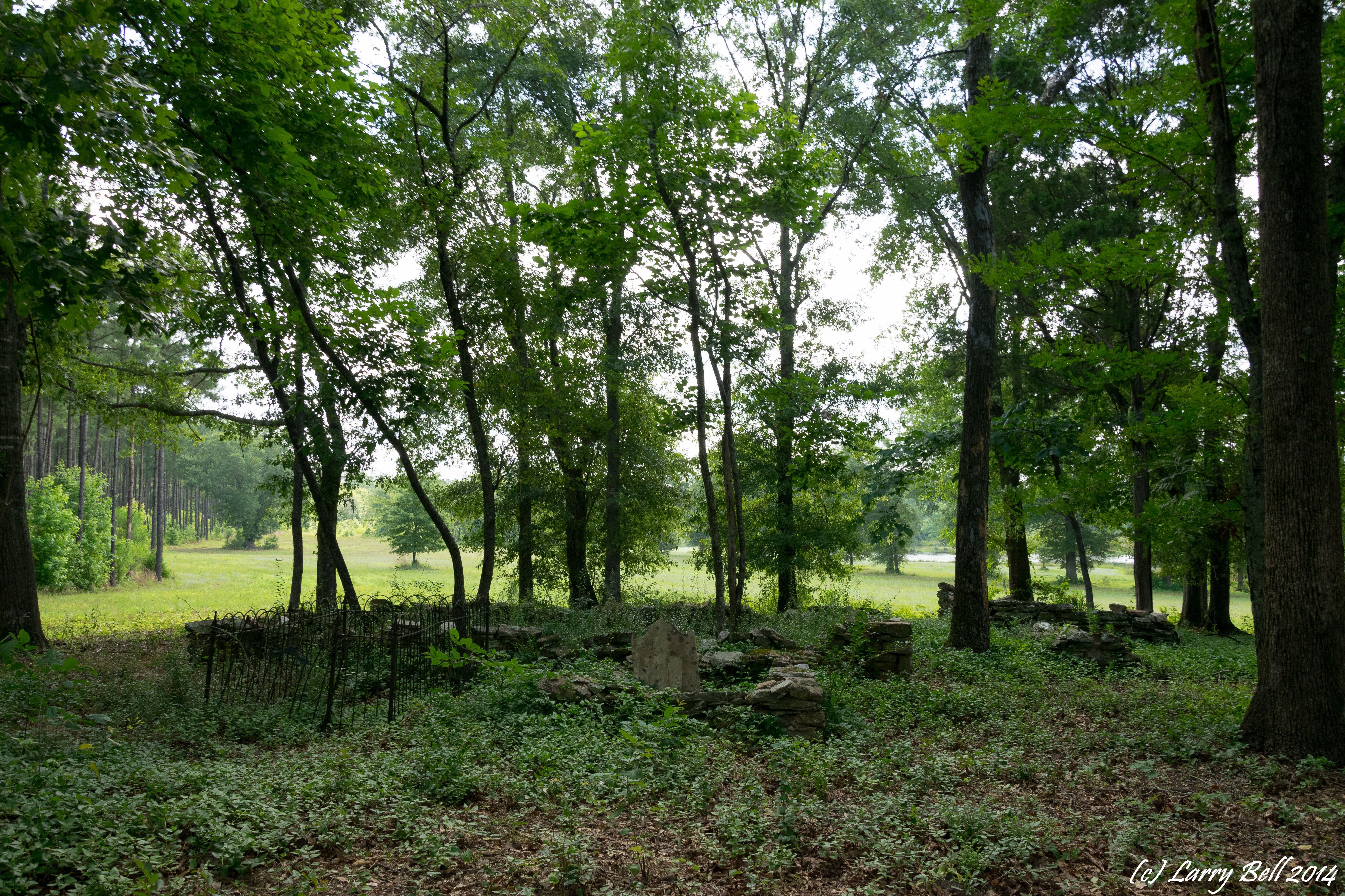
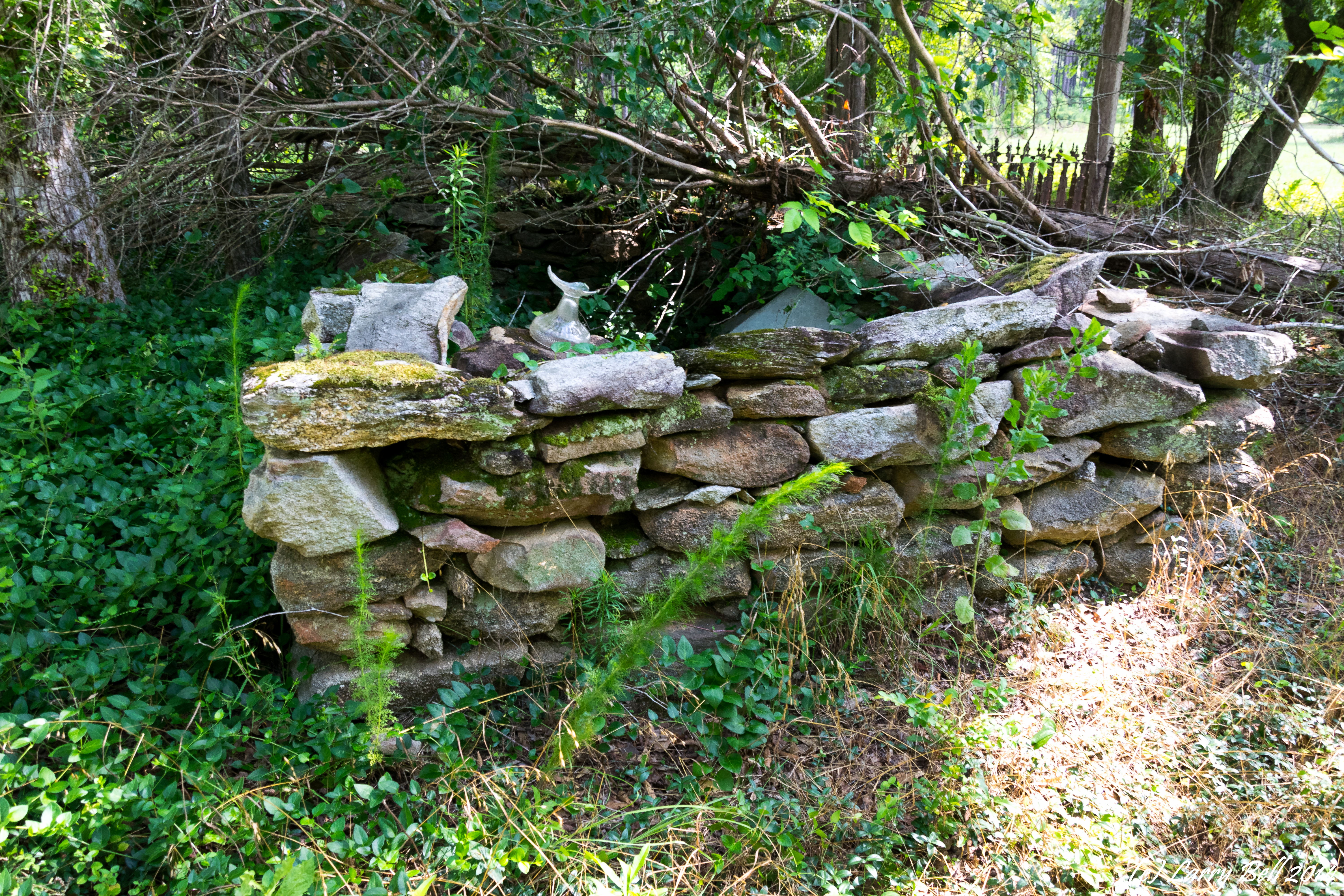
Related Photos:
DSC_0559.jpg
DSC_0557.jpg

DSC_0508.jpg
DSC_0562.jpg
DSC_0552.jpg
DSC_0521.jpg
DSC_0502.jpg

DSC_0616.jpg
DSC_0556.jpg
DSC_0553.jpg
DSC_0550.jpg
DSC_0551.jpg
DSC_0537.jpg
DSC_0528.jpg

DSC_0527.jpg
DSC_0509.jpg
DSC_0522.jpg
DSC_0536.jpg
DSC_0563.jpg
DSC_0499.jpg
DSC_0545.jpg
Topographic Map of Meriwether County, GA, USA
Find elevation by address:

Places in Meriwether County, GA, USA:
Places near Meriwether County, GA, USA:
Roosevelt Hwy, Greenville, GA, USA
Massengale Mill Rd, Gay, GA, USA
Gay
Oakland Road
4452 Oakland Rd
4452 Oakland Rd
4452 Oakland Rd
Mount Carmel Road
Mount Carmel Road
Friendship Circle
1988 Eppinger Bridge Rd
2126 Eppinger Bridge Rd
757 W Fossett Rd
GA-, Williamson, GA, USA
1839 Bottoms Rd
Concord
2nd St, Concord, GA, USA
2201 Green St
Rockbridge Farm Road
Rockbridge Farm Road
Recent Searches:
- Elevation of Corso Fratelli Cairoli, 35, Macerata MC, Italy
- Elevation of Tallevast Rd, Sarasota, FL, USA
- Elevation of 4th St E, Sonoma, CA, USA
- Elevation of Black Hollow Rd, Pennsdale, PA, USA
- Elevation of Oakland Ave, Williamsport, PA, USA
- Elevation of Pedrógão Grande, Portugal
- Elevation of Klee Dr, Martinsburg, WV, USA
- Elevation of Via Roma, Pieranica CR, Italy
- Elevation of Tavkvetili Mountain, Georgia
- Elevation of Hartfords Bluff Cir, Mt Pleasant, SC, USA