Elevation of Meråker, Norway
Location: Norway > Nord-trondelag >
Longitude: 11.7240431
Latitude: 63.3832786
Elevation: 248m / 814feet
Barometric Pressure: 98KPa
Elevation Map:
Satellite Map:
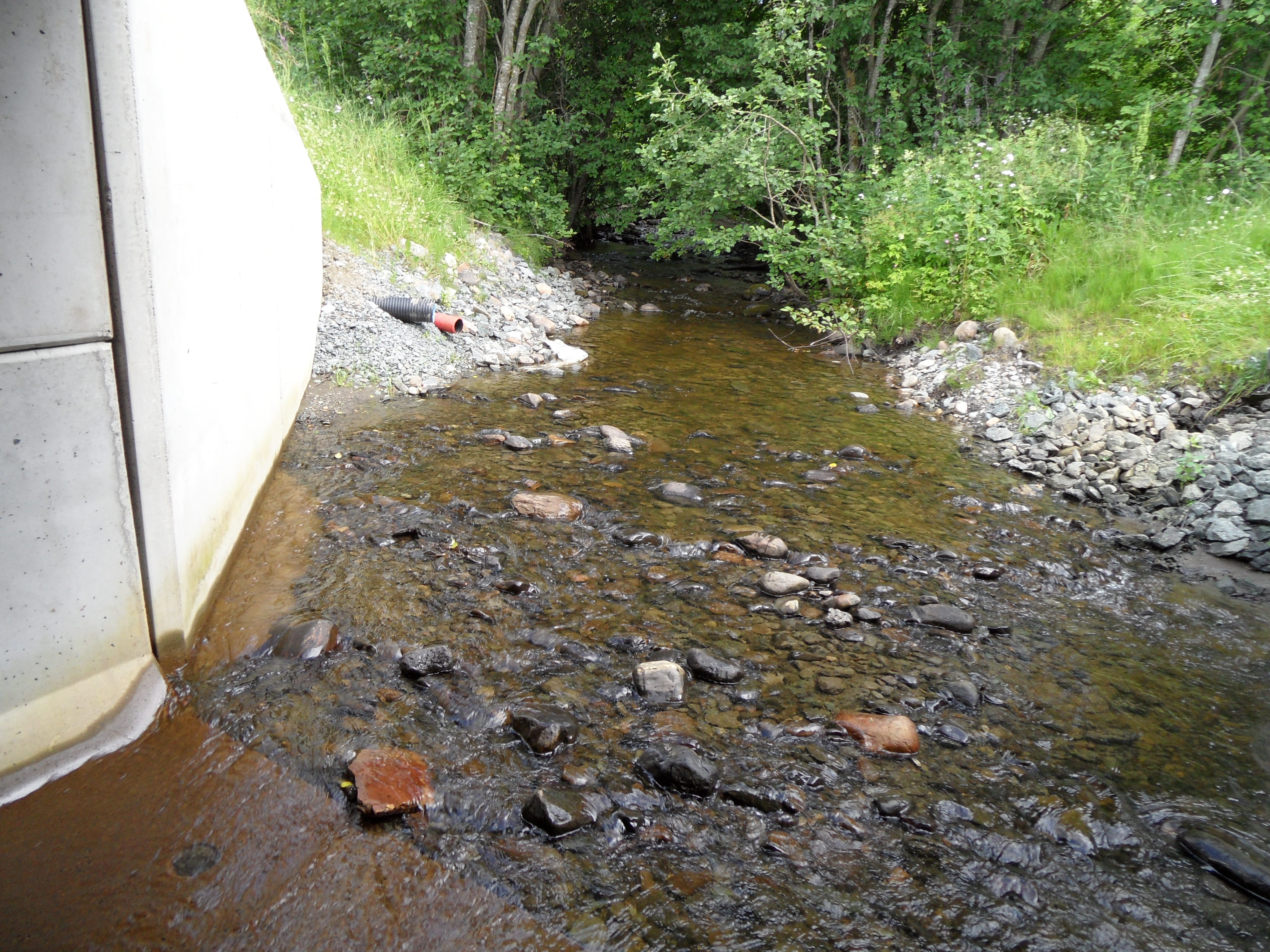
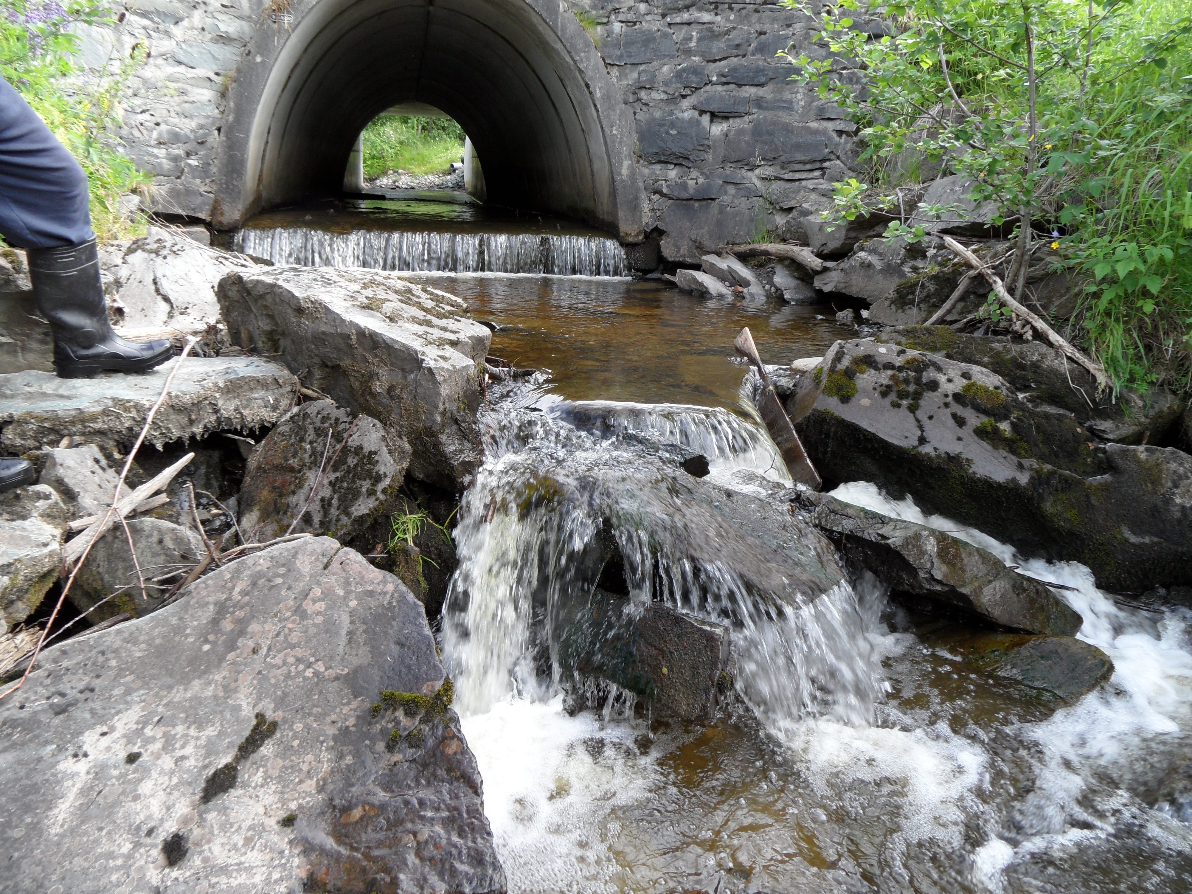
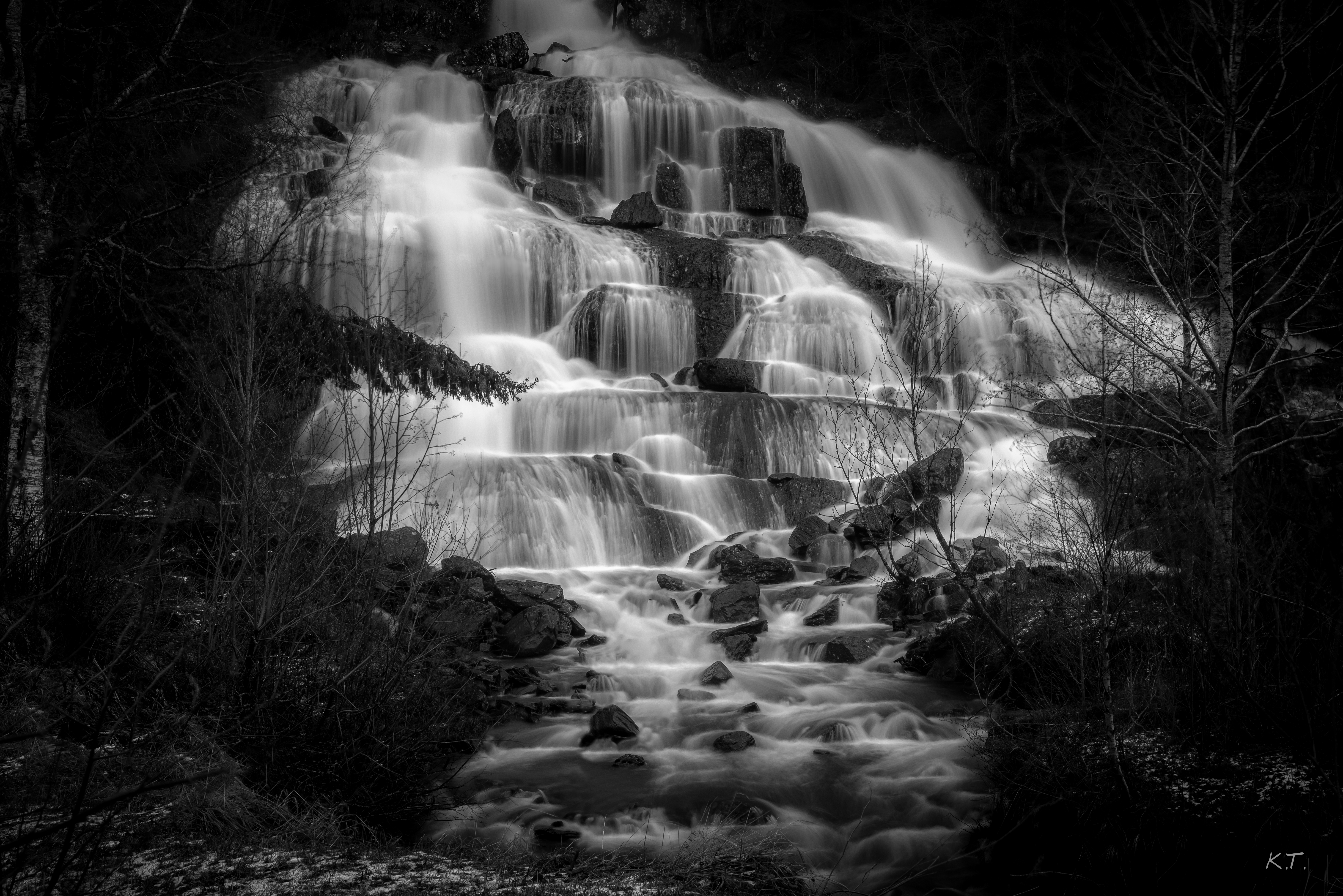
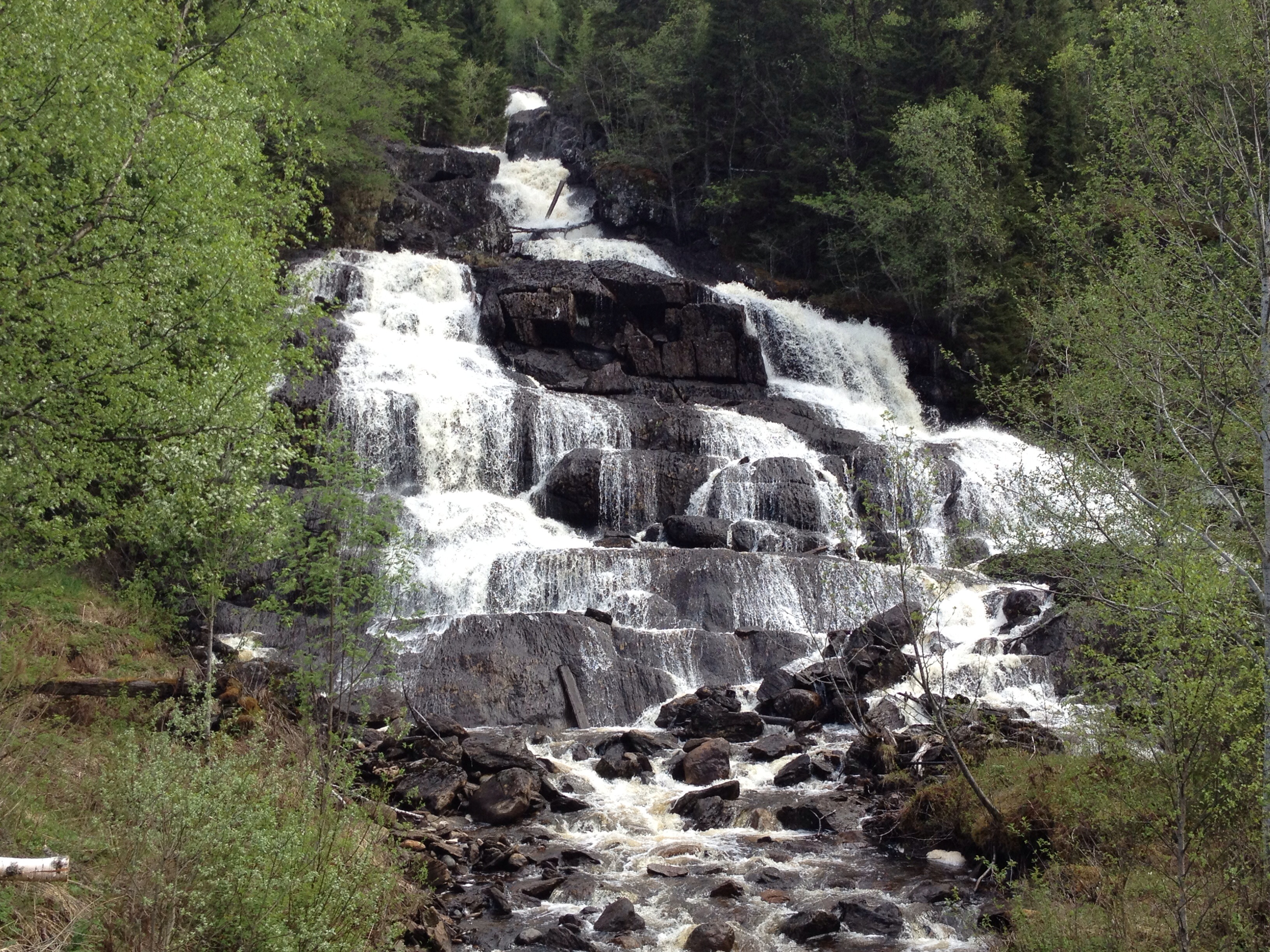
Related Photos:
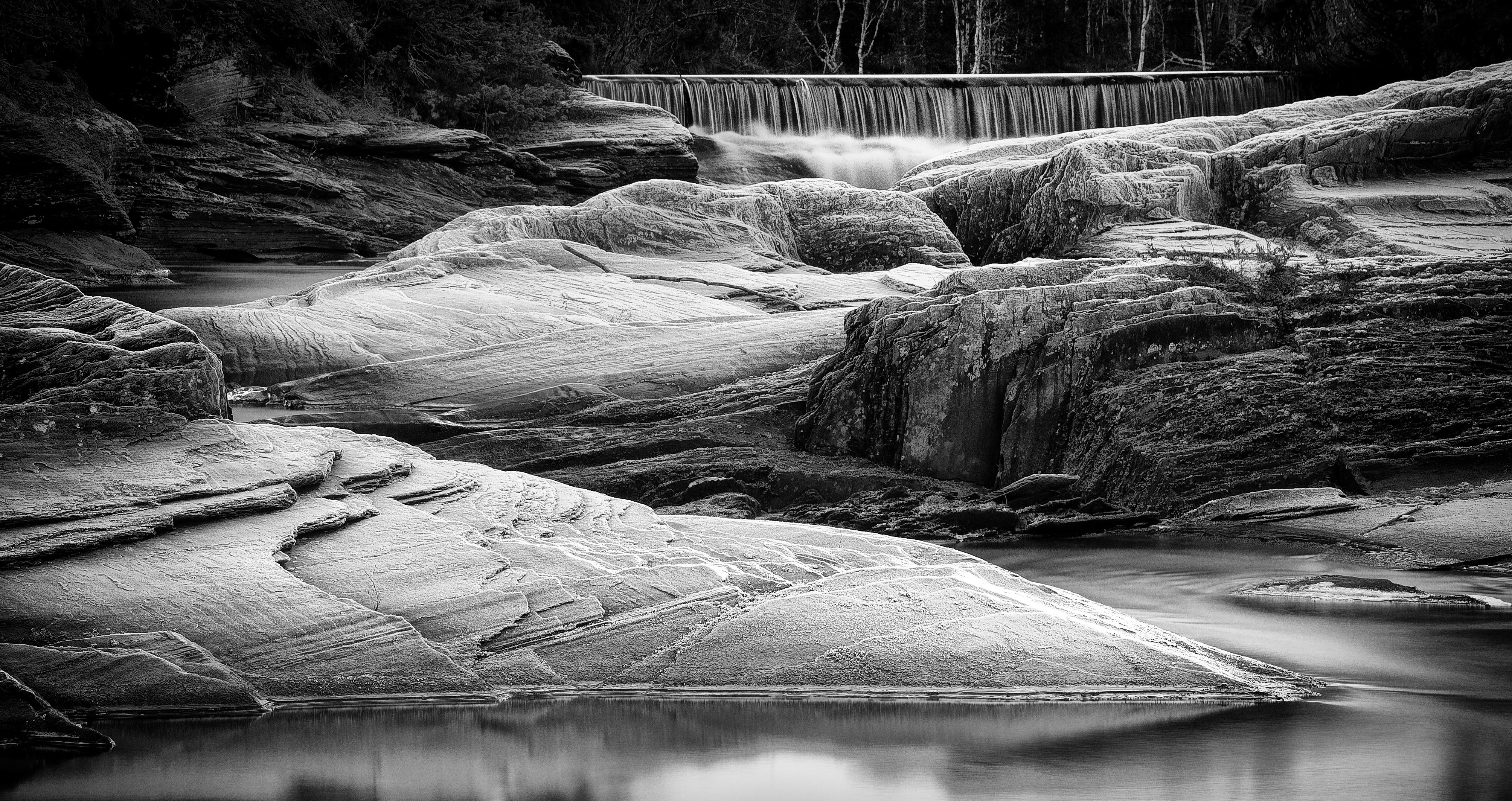
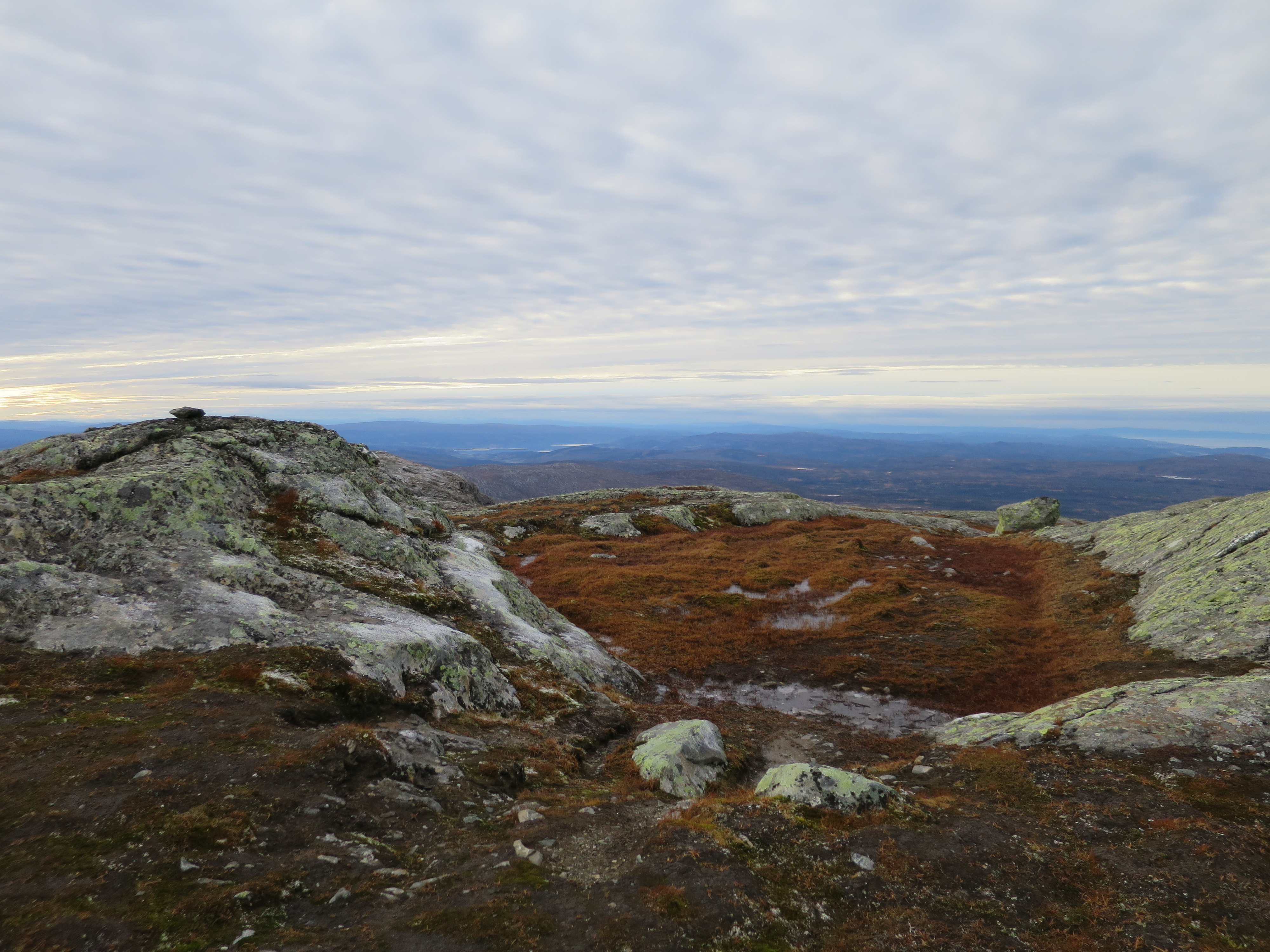
Frosted Rocks in b&w, Meråker
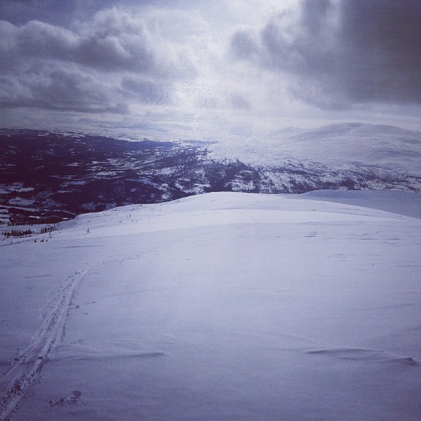
Og så den artige biten: kun nedoverbakke :)
Meråker
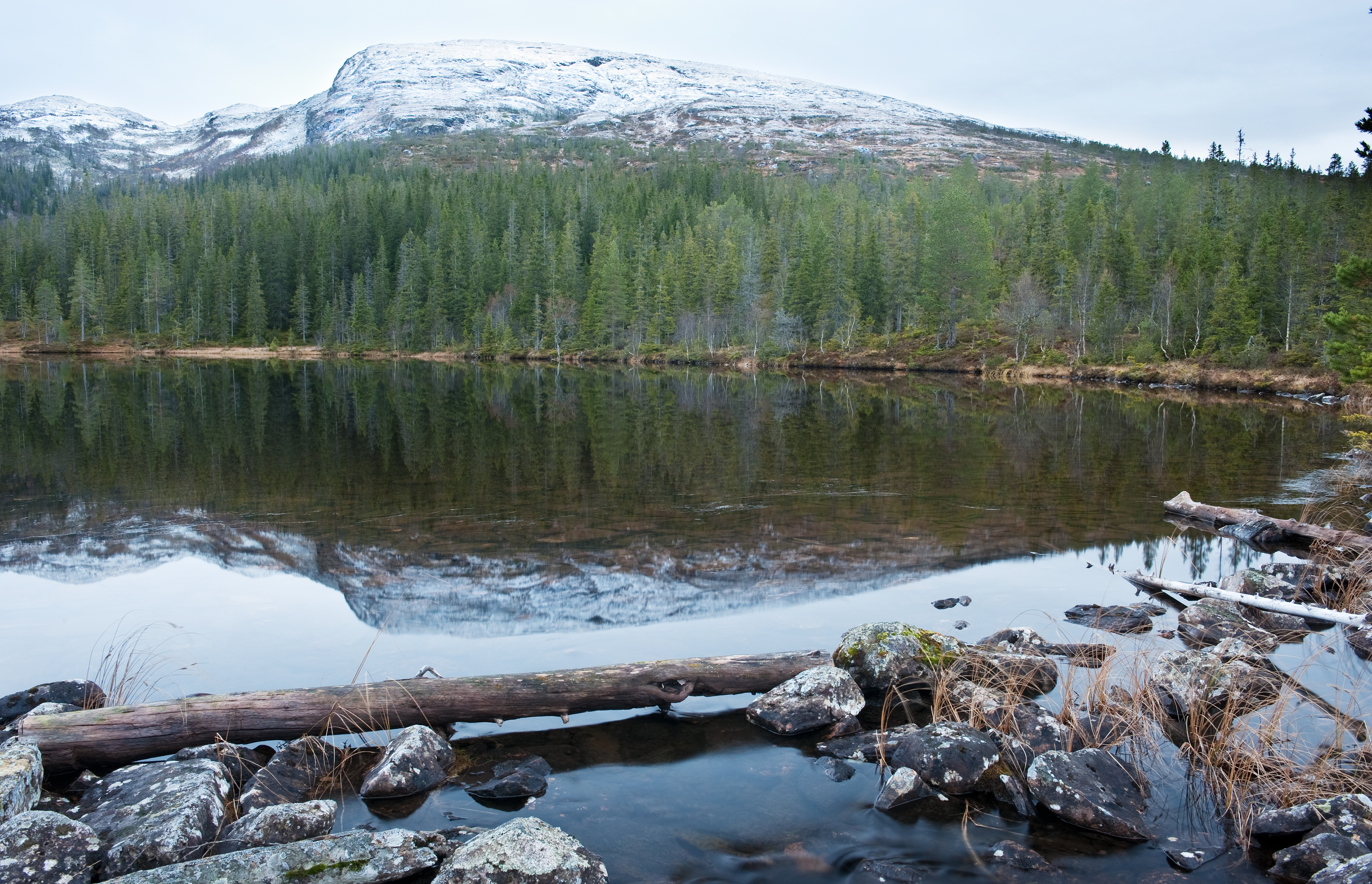
Steinfjellet, Meråker
My Photo
My Photo

Røde spor 160522-61w Gudå
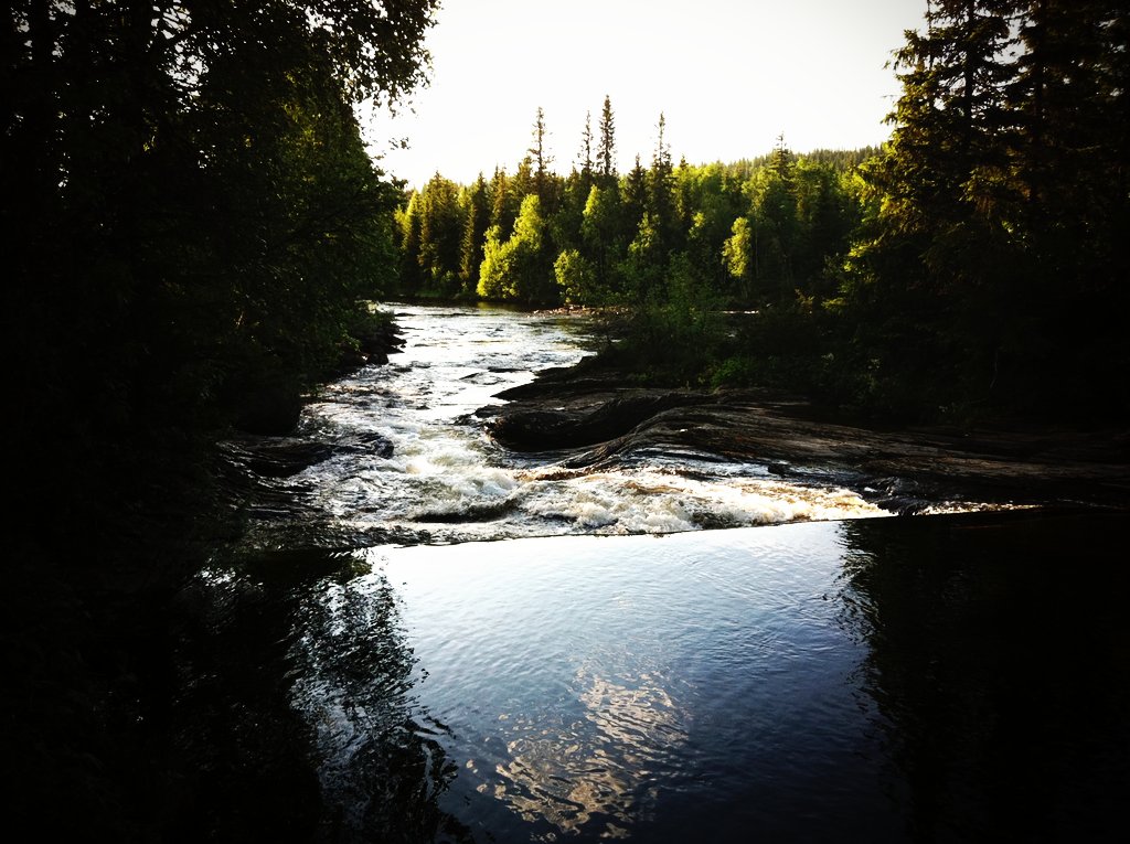
Falling down in steps
Flora...
IMG_2185.jpg
Topographic Map of Meråker, Norway
Find elevation by address:

Places in Meråker, Norway:
Places near Meråker, Norway:
Fv5, Meråker, Norway
Kopperå
Verdal
Verdalsora
Levanger
Levanger
Symrevegen 6, Levanger, Norway
Steinvegen 4, Inderøy, Norway
Kårbergvegen 13, Sparbu, Norway
Tuvskogvegen 7, Sparbu, Norway
Enafors
Rv 40, Steinkjer, Norway
Ogndalsvegen 97, Steinkjer, Norway
Steinkjer
Steinkjer
Ånn
E6, Steinkjer, Norway
Strådalsvegen 64, Vuku, Norway
Nord-trondelag
Snåsa Municipality
Recent Searches:
- Elevation of Corso Fratelli Cairoli, 35, Macerata MC, Italy
- Elevation of Tallevast Rd, Sarasota, FL, USA
- Elevation of 4th St E, Sonoma, CA, USA
- Elevation of Black Hollow Rd, Pennsdale, PA, USA
- Elevation of Oakland Ave, Williamsport, PA, USA
- Elevation of Pedrógão Grande, Portugal
- Elevation of Klee Dr, Martinsburg, WV, USA
- Elevation of Via Roma, Pieranica CR, Italy
- Elevation of Tavkvetili Mountain, Georgia
- Elevation of Hartfords Bluff Cir, Mt Pleasant, SC, USA